West Thumb to Old Faithful Section of Grand Loop Road
The Grand Loop Road in Yellowstone is the main method of travel through the park. It is shaped like a giant figure eight. Sections of this road are usually referred to by the two “junctions” that the section runs between. Below is the description of the road between West Thumb Junction and Old Faithful. For an index of all road sections in the park, see the Yellowstone Roads index.
Mile 0 – West Thumb Junction
The Grand Loop Road and the South Entrance Road intersect at West Thumb Junction. The South Entrance Road heads south, eventually leading to the John Rockefeller Memorial Parkway and Grand Teton National Park. The Grand Loop Road heads to the northeast on the Fishing Bridge to West Thumb section and west to the Old Faithful Interchange, as described below.
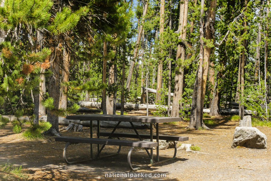
Mile 3.8 – Divide Picnic Area
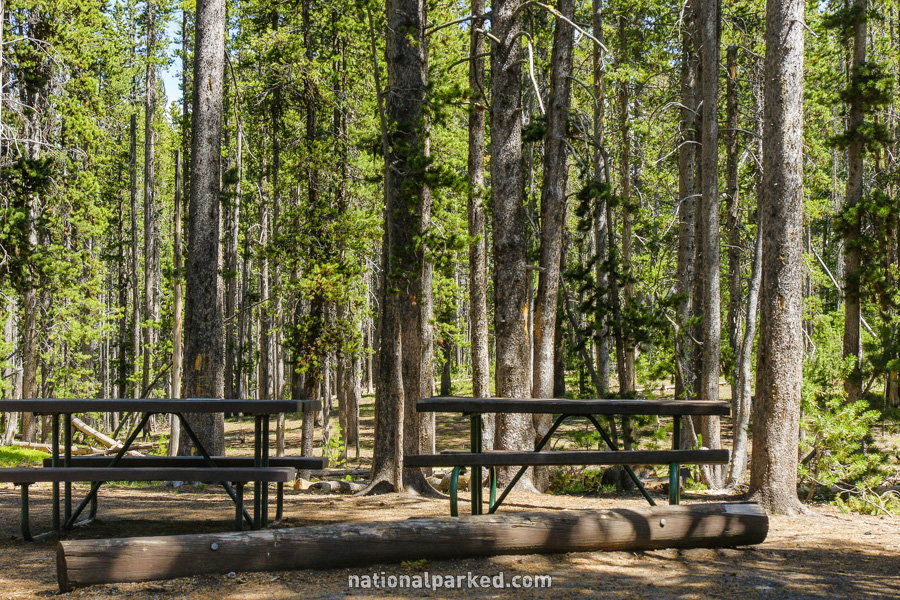
The road passes by the Divide Picnic Area.
Mile 4.2 – Continental Divide
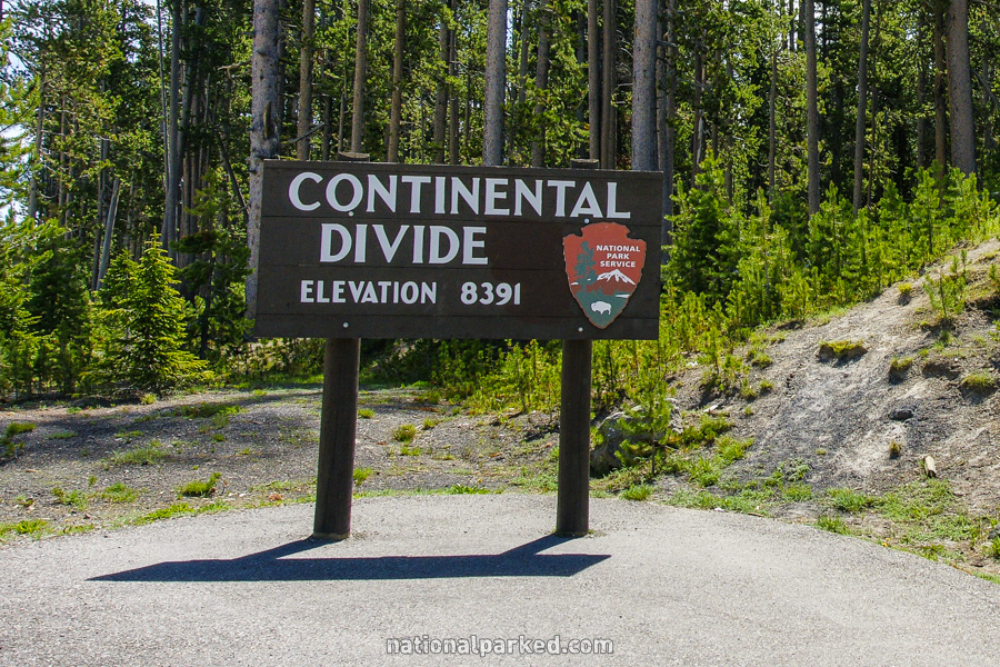
The road crosses the Continental Divide at an elevation of 8,391 feet.
Mile 8.4 – Shoshone Point
On the left is a distant view of Shoshone Lake, appropriately named Shoshone Point.
Mile 8.7 – DeLacy Creek Picnic Area
The road passes by the DeLacy Creek Picnic Area.
Mile 10.0 – Continental Divide
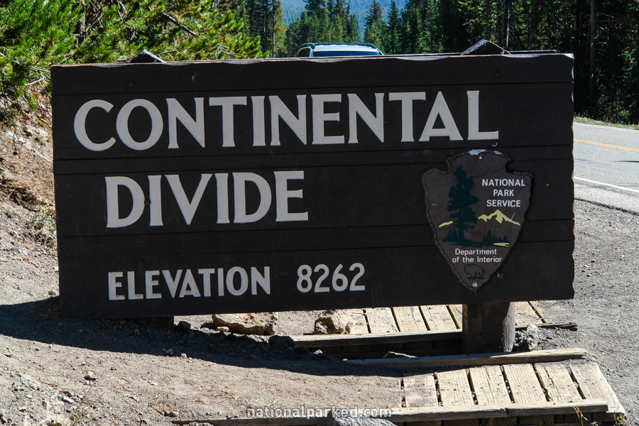
The road again crosses the Continental Divide, this time at an elevation of 8,262 feet.
Mile 10.1 – Isa Lake
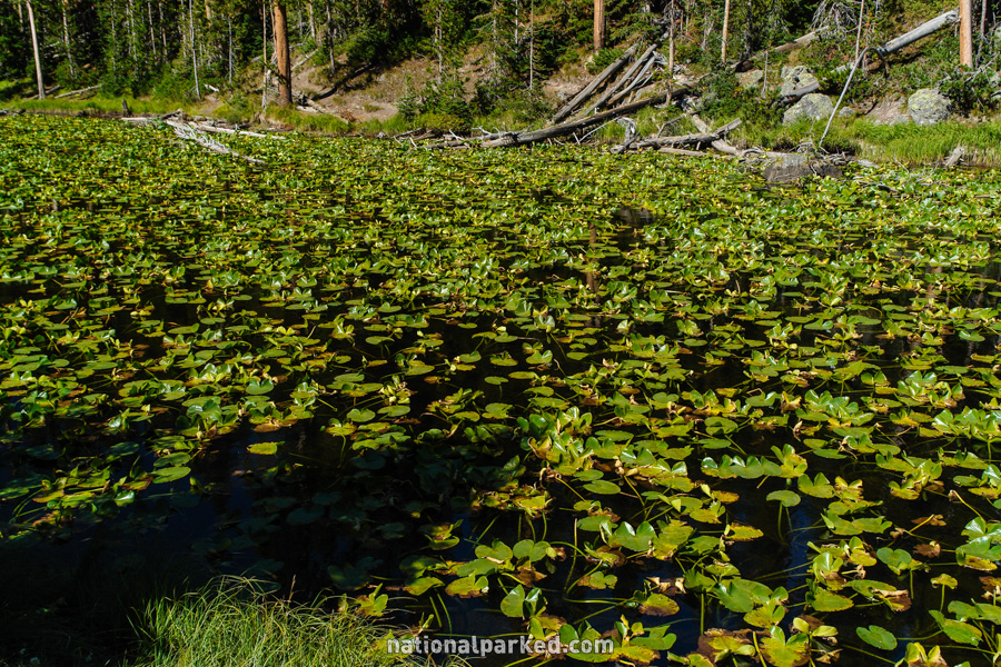
The road goes by Isa Lake, a small, interesting lake covered with vegetation.
Mile 11.1 – Divide Trailhead
The road passes by the Divide Trailhead. This is a 2.5 mile, relatively easy climb to the top of Divide Mountain.
Mile 12.2 – Spring Creek Picnic Area
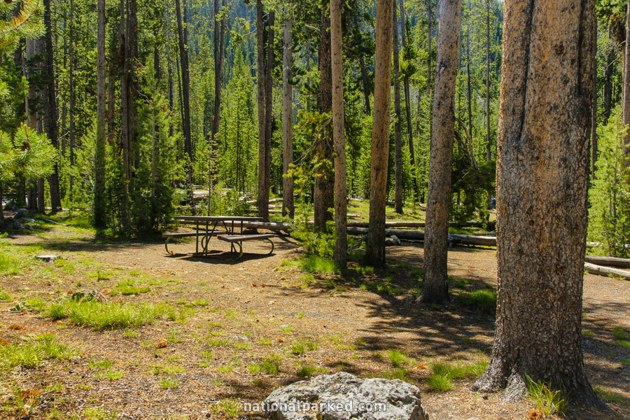
The road goes by the Spring Creek Picnic Area.
Mile 12.9 – Scaup Lake
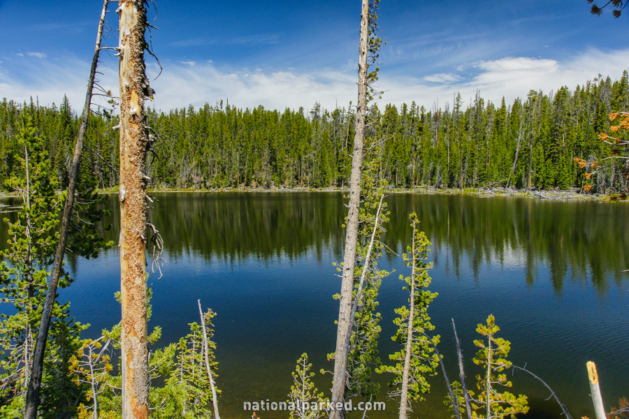
The road skirts the shore of Scaup Lake.
Mile 15.2 – Lone Star Trailhead
The parking area for the Lone Star Trailhead is on the left. This hike of just over two miles leads to Lone Star Geyser, unusual in that no other thermal features are in the area.
Mile 15.4 – Kepler Cascades
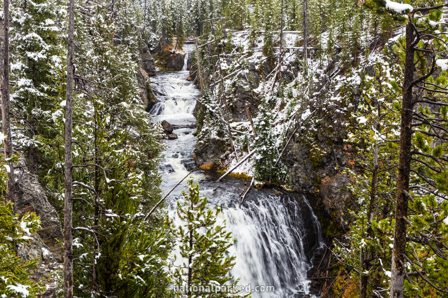
The parking area for the Kepler Cascades is on the left. A platform provides a good view of this large, multi-level cascade of over 100 feet.
Mile 17.9 – Old Faithful Interchange
The road arrives at the Old Faithful Interchange. This is an interchange in the true sense of the word, complete with ramps that look like they belong on an interstate freeway. Yes, this area of the park is that crowded, but for very good reason. A right turn onto the ramp leads to the Old Faithful complex. Straight ahead is the Old Faithful to Madison section.