Norris to Mammoth Section of Grand Loop Road
The Grand Loop Road in Yellowstone is the main method of travel through the park. It is shaped like a giant figure eight. Sections of this road are usually referred to by the two “junctions” that the section runs between. Below is the description of the road between Norris Junction and Mammoth Junction. For an index of all road sections in the park, see the Yellowstone Roads index.
Mile 0 – Norris Junction
The Grand Loop Road goes three ways from Norris Junction. The Madison to Norris section heads south. The Norris to Canyon section goes east. A side road to the west leads immediately to the Norris Geyser Basin. The Norris to Mammoth section goes north, as described below.
Mile 0.8 – Norris Campground
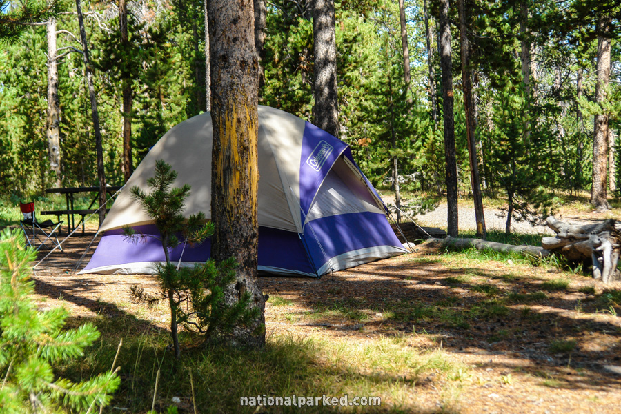
A side road to the right leads to the Ranger Museum and the Norris Campground. For more on the campground, see Yellowstone Camping.
Mile 2.6 – Nymph Lake Thermals
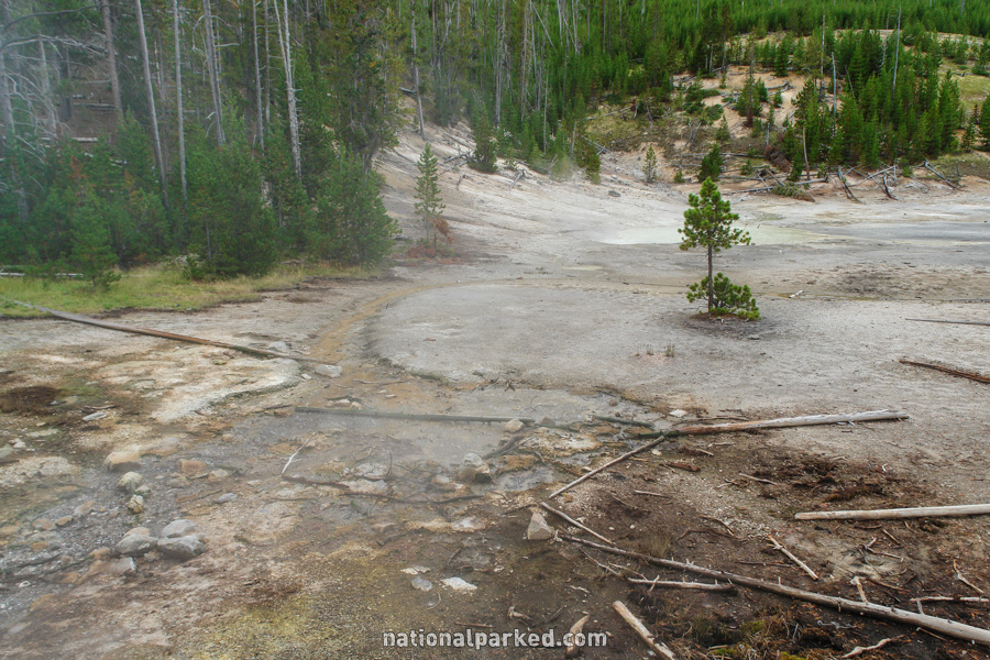
On the left is a small pullout area. A small, unnamed thermal area is right beside the road. We refer to this simply as the Nymph Lake Thermal Area, due to its proximity to Nymph Lake. This informal area lacks the usual warnings and boardwalks of the major thermal areas, but is no less dangerous. Do not leave the pavement.
Mile 4.0 – South Twin Lake
The road passes by South Twin Lake. A short way beyond it is North Twin Lake.
Mile 4.9 – Roaring Mountain
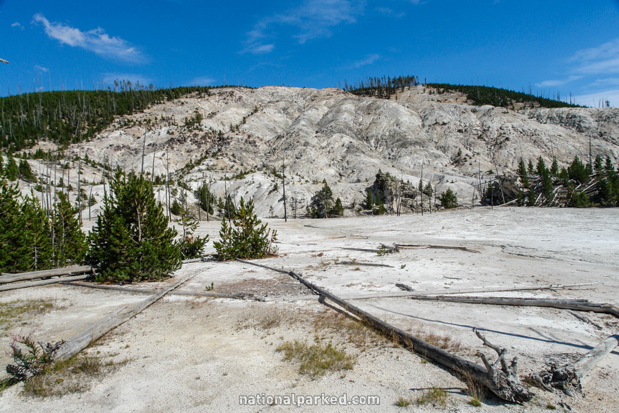
On the right is the parking area for Roaring Mountain. Roaring Mountain is a large thermal area that contains many steam vents, otherwise known as fumaroles.
Mile 5.5 – Obsidian Creek Thermals
The Obsidian Creek area lies to the left of the road. Minor thermal features are all around this area, exercise extreme caution.
Mile 6.4 – Grizzly Lake Trailhead
The road passes by a small parking area for the Grizzly Lake Trailhead. This is a relatively easy dayhike just under two miles one-way. It leads to the 136 acre Grizzly Lake.
Mile 9.6 – Mount Holmes Trailhead
The parking area for the popular Mount Holmes trail is next. This is a long and difficult hike that can be a dayhike, but is normally done as an overnight trip.
Mile 12.7 – Indian Creek Campground
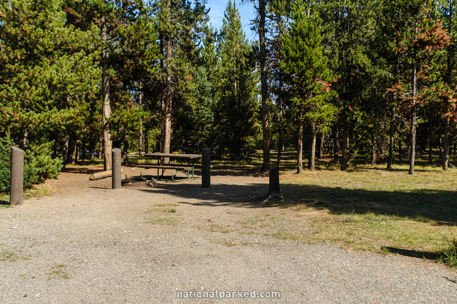
A short side road on the left leads to the Indian Creek Campground. For more on the campground, see Yellowstone Camping.
Mile 16.4 – Bunsen Peak & Glen Creek Trailheads
A parking area for the Bunsen Peak and Glen Creek Trailhead is on the right. This is one of the shorter and easier trails in the park to a mountaintop view, at just over 2 miles and 1,300 feet up one-way. Note that at Yellowstone’s elevation, this is still not an easy hike for most.
Mile 19.2 – Upper Terrace Drive
The Upper Terrace Drive is on the left. This is a short, one-way driving route to several of the more interesting features of the upper Mammoth Hot Springs area.
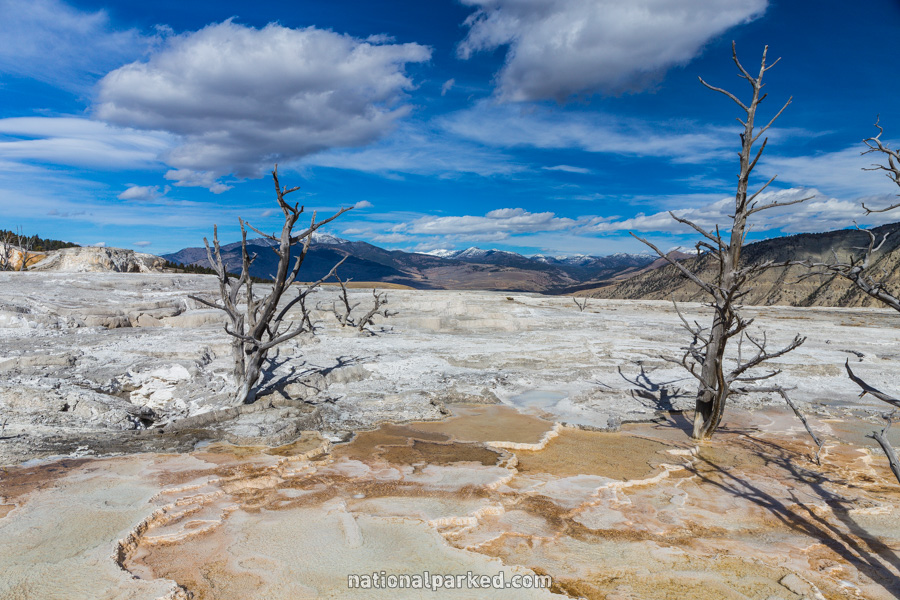
Mile 20.8 – Mammoth Hot Springs
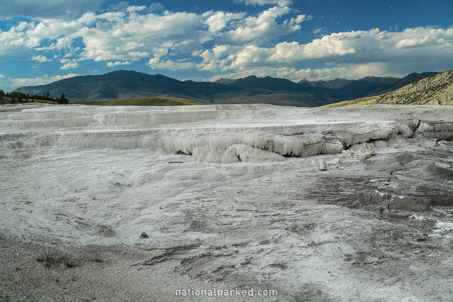
There are several large parking areas for the main Mammoth Hot Springs area. An extensive boardwalk system leads all over this amazing area, which includes formations like the Minerva Terrace, shown to the left.
Mile 21.2 – Mammoth Village
The road enters the Mammoth Hot Springs Village area. All services are available here, including lodging, fuel, restaurants, visitor center, ranger station, park headquarters, and post office.
Mile 21.4 – Mammoth Junction
The road arrives at Mammoth Junction. A right turn enters the Mammoth to Tower section. Straight ahead is the North Entrance Road, which leads to the town of Gardiner, Montana.