East Entrance Road
The East Entrance Road is one of five roads that provide access to the Grand Loop Road and the rest of Yellowstone. This is the route usually taken by those staying in, or passing through, the town of Cody, Wyoming on the way. The East Entrance Road is typically open for vehicle travel May through October.
Mile 0 – East Entrance
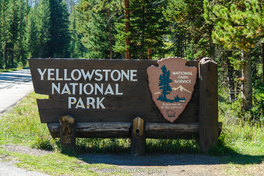
The entrance sign welcomes you to Yellowstone National Park. Just 0.1 mile beyond, the road passes through the entrance station. The park entrance fee must be paid or a valid pass shown.
Mile 3.6 – Sylvan Falls
On the right is a paved pullout area with a stone wall. Beyond the wall is a very high waterfall, informally named Sylvan Falls. Unfortunately, it is virtually impossible to get a good view of it from the overlook, and a better view requires dangerous scrambling around that is not recommended.
Mile 7.5 – Crecelius Cascade
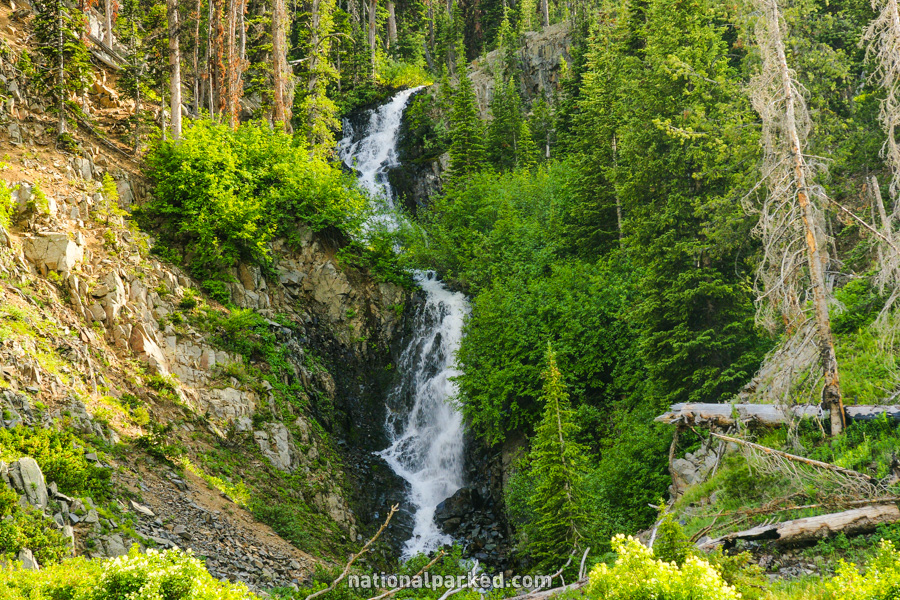
A nice waterfall, the Crecelius Cascade, is on the left. Limited pullout space is available to stop and walk up the slope for a closer look.
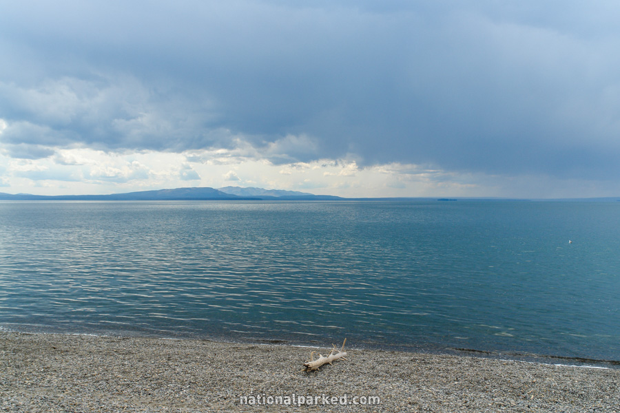
Mile 8.8 – Sylvan Lake
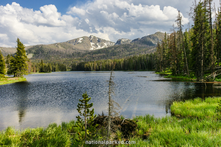
The road passes by Sylvan Lake. Just beyond this is the Sylvan Lake Picnic Area.
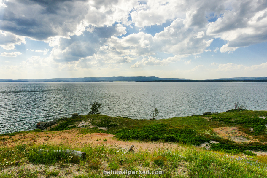
Mile 15.7 – Lake Butte Road
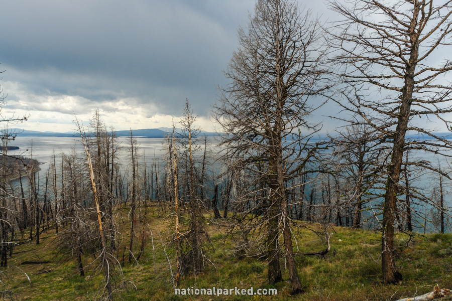
A side road is on the right. This one mile long road leads upwards to a sweeping view of Lake Yellowstone known as the Lake Butte Overlook.
Mile 18.4 – Sedge Bay
A parking area for Sedge Bay is on the left. This is a popular launching place for small watercraft.
Mile 19.7 – Steamboat Point
The road goes by a small parking area for Steamboat Point. This is a relatively calm geothermal area right on the bank of Lake Yellowstone.
Mile 23.1 – Storm Point Trailhead
The road passes by the parking area for the Storm Point Trailhead. This is an easy 1.5 mile loop trail to Storm Point. Rangers frequently lead hikes on this trail.
Mile 24.9 – Pelican Valley Nature Trail
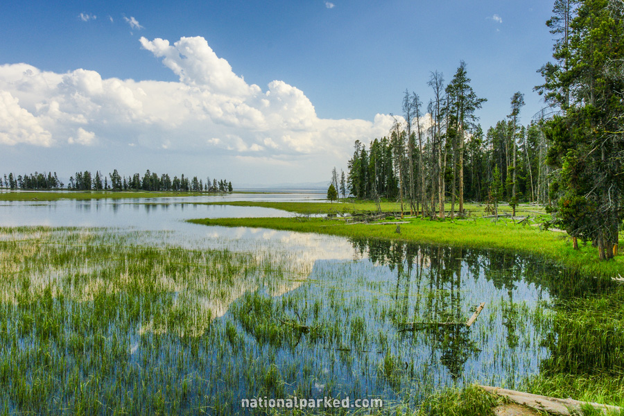
The parking area for the Pelican Valley Nature Trail is on the left. This is an easy half mile loop trail, mostly on boardwalks, through a marshy area near Lake Yellowstone. Like nearby Storm Point Trail, rangers often lead hikes on this route.
Mile 25.4 – Fishing Bridge RV Park
The entrance to the Fishing Bridge RV Park is on the right. This is the only place in the park that offers RV hookups. It is operated by park concessioner Xanterra, and reservations are possible.
Mile 25.8 – Fishing Bridge Visitor Center & Services
The Fishing Bridge Visitor Center, store, and service station are on the right.
Mile 26.0 – Fishing Bridge
The road crosses the Yellowstone River just north of Lake Yellowstone on the Fishing Bridge. Although now prohibited, it used to be a popular place to fish from.
Mile 26.4 – Fishing Bridge Junction
The road arrives at Fishing Bridge Junction. A left turn joins the Grand Loop Road on the Fishing Bridge to West Thumb section. A right turn enters the Canyon to Fishing Bridge section.