Canyon to Fishing Bridge Section of Grand Loop Road
The Grand Loop Road in Yellowstone is the main method of travel through the park. It is shaped like a giant figure eight. Sections of this road are usually referred to by the two “junctions” that the section runs between. Below is the description of the road between Canyon Junction and Fishing Bridge Junction. For an index of all road sections in the park, see the Yellowstone Roads index.
Mile 0 – Canyon Junction
The Grand Loop Road goes three ways from Canyon Junction. The Norris to Canyon section heads west. The Tower to Canyon section goes north. Canyon Village and the Grand Canyon of the Yellowstone Area lies to the east. The Canyon to Fishing Bridge section goes south, as described below.
Mile 1.6 – Upper Falls side road
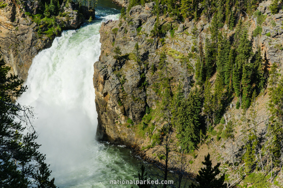
A side road on the left leads to a viewpoint of the Upper Falls of the Yellowstone. More views can be had of the falls from points along the South Rim Drive and North Rim Drive.
Mile 2.2 – South Rim Drive entrance
The entrance of the one-way South Rim Drive is on the left.
Mile 4.2 – Mary Mountain Trailhead
The road passes by the parking area for the Mary Mountain Trailhead. This is a starting point for several hikes of varying lengths.
Mile 5.8 – Yellowstone River views
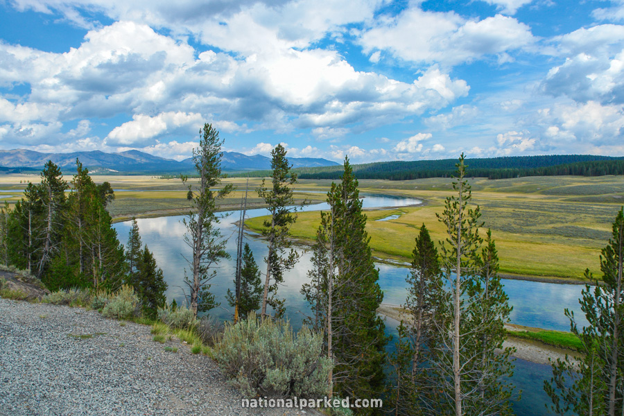
On the left is a pullout that provides a great view of the Yellowstone River snaking its way through the meadow below.
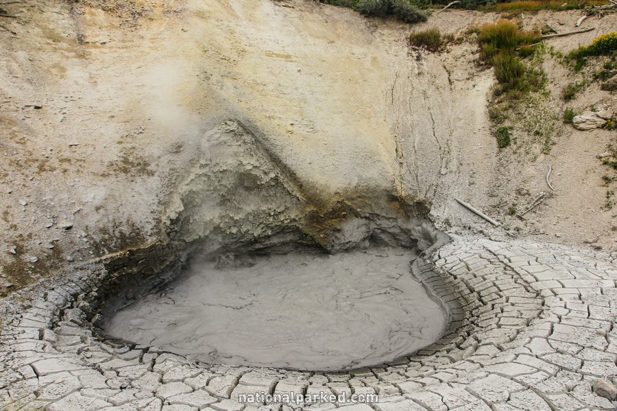
Mile 9.5 – Sulphur Cauldron
The road passes by a small parking area for the Sulphur Cauldron.
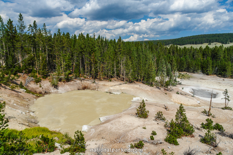
Mile 9.7 – Mud Volcano Thermal Area
The road goes by a parking area for the Mud Volcano Thermal Area. This is a fascinating area filled with some of the more unusual thermal features in the park.
Mile 10.6 – Nez Perce Ford Picnic Area
The road passes by the Nez Perce Ford Picnic Area. The Cascade Picnic Area is shortly beyond it, and is followed by yet another, the LeHardy Picnic Area.
Mile 12.5 – LeHardy’s Rapids
A pullout provides access to LeHardy’s Rapids.
Mile 15.6 – Fishing Bridge Junction
The road arrives at Fishing Bridge Junction. A left turn enters the East Entrance Road, which eventually leads to the town of Cody, Wyoming. Straight ahead is the Fishing Bridge to West Thumb section.