- This page contains affiliate links. Purchases made through them may earn us a small fee.
Getting to Grand Teton National Park
Driving to Grand Teton
US-89/US-191 heads north from the town of Jackson into the park. This forms the outer park road and covers 46.3 miles before leaving the park and becoming the Mather Memorial Parkway for a short time before entering Yellowstone National Park. US-26/US-287 comes in from the east and the town of Dubois to join the main park road.
If you’d like to plot directions from your location use the interactive map below. The marker shows the location of the Craig Thomas Discovery and Visitor Center in Grand Teton.
Flying to Grand Teton
Grand Teton is unique in the fact that there is a commercial airport actually within the borders of the park. For that reason, no other airport makes any sense for a visit to just Grand Teton. Those also visiting Yellowstone should see Getting to Yellowstone for more airport options.
Below are direct links to browse available flights and cars at Jackson Hole. For price searches, simply enter your origin and dates.
Jackson Hole Airport (JAC)
Located in Jackson, Wyoming, 0 miles by car to Grand Teton
Jackson Hole flight schedule and price search
Jackson Hole available rental cars and price search
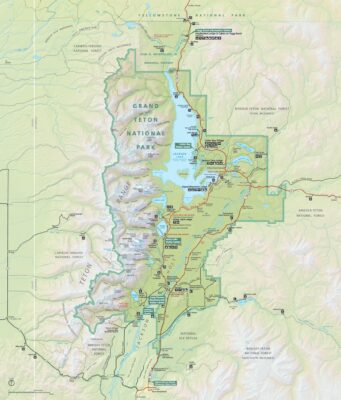
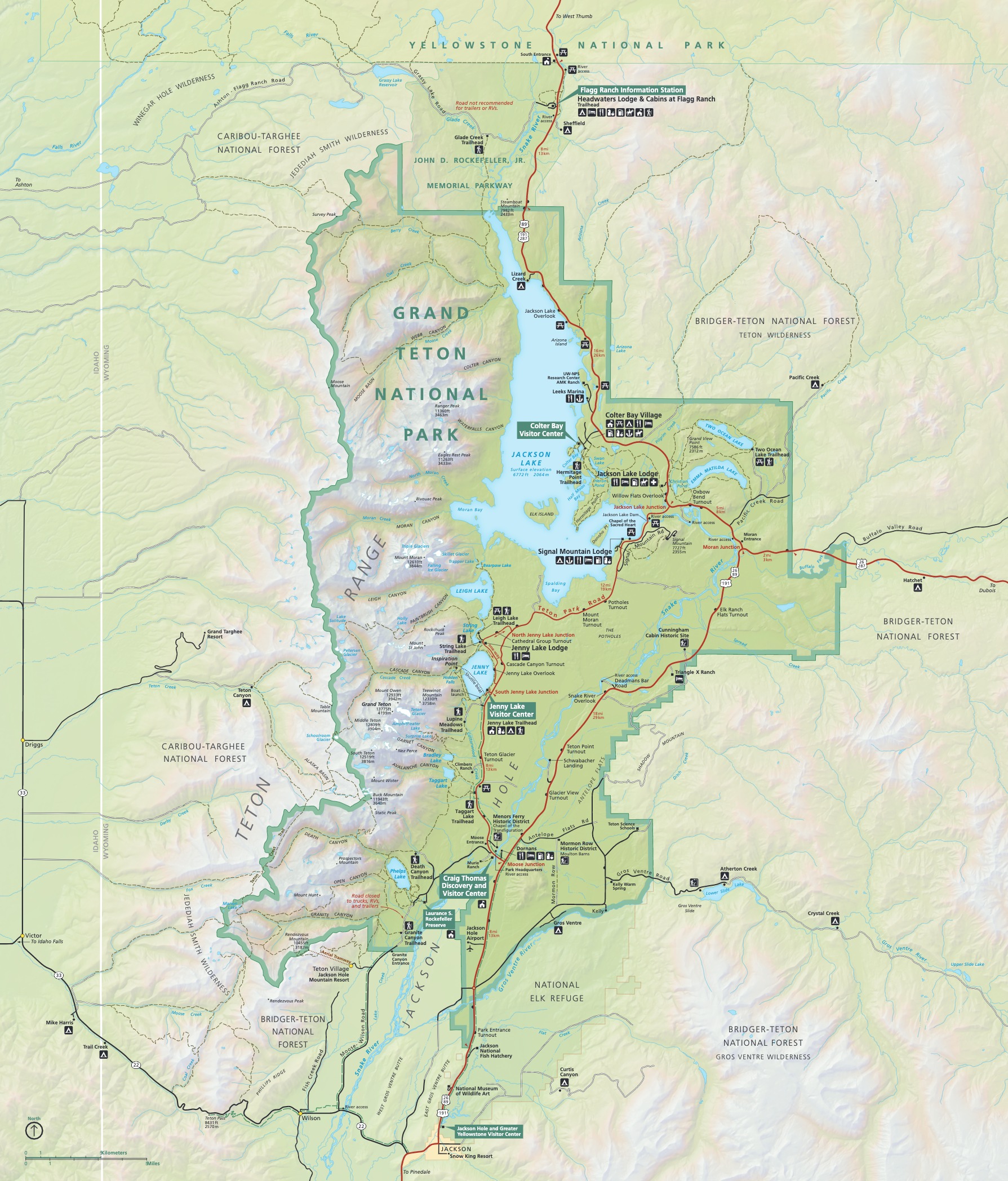
Official Park Map
Below is the official park map provided by the National Park Service. You can view either the original PDF file or a simple JPEG image file (some of these files can be quite large). Note that while this map is useful for general navigation around the park, if you plan to do any hiking, you should really have a proper Grand Teton Trail Map.