US Highway 89 (Part 2)
Grand Teton National Park is traversed from north to south by US Highway 89, covering 46 miles from the North Entrance to the South Entrance. We cover this road in three sections. Part 2 runs from Jackson Lake Junction to the Snake River Overlook. It is covered below. For the previous part, from the North Entrance to Jackson Lake Junction, see US Highway 89 Part 1. For the last part, from the Snake River Overlook to the South Entrance, see US Highway 89 Part 3.
Mile 17.8 – Oxbow Bend Turnout
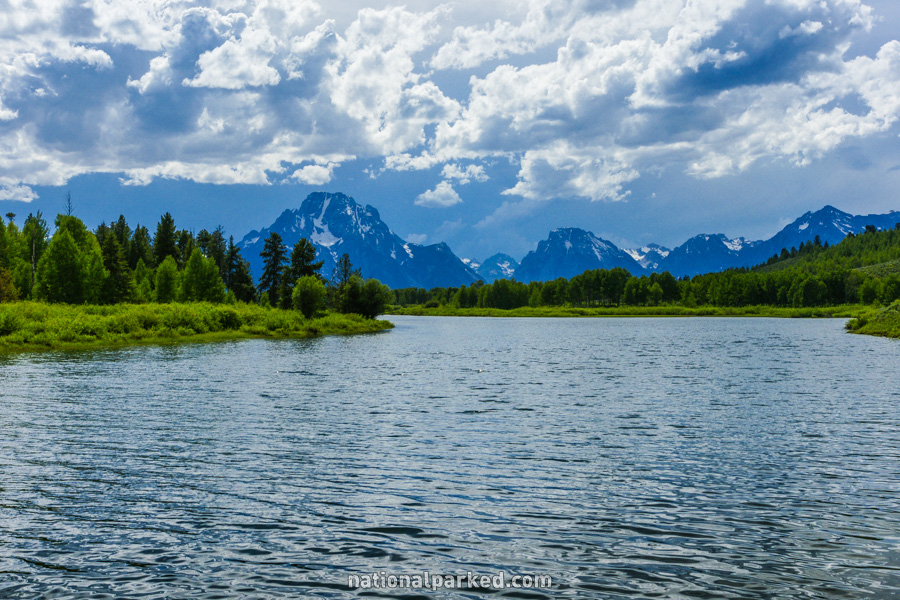
The road passes by the Oxbow Bend Turnout on the right. This scenic point gives a great view of a bend in the Snake River. Mount Moran can be seen in the background.
Mile 19.4 – Pacific Creek Road
The unpaved Pacific Creek Road is on the left. This road leads a short distance through the park to its boundary at the Bridger-Teton National Forest.
Mile 20.1 – Pacific Creek Landing
The Pacific Creek Landing is on the right. This provides access to the Snake River and is frequently used a raft launch.
Mile 20.3 – Moran Entrance Station
The road passes through the Moran Entrance Station. The park entrance fee must be paid or a valid pass shown.
Mile 20.6 – Moran Junction
The road arrives at Moran Junction. To the left, US-26/US-287 heads to the east and quickly leaves the park. Straight ahead is the continuation of US Highway 89.
Mile 22.9 – Elk Ranch Flats Turnout
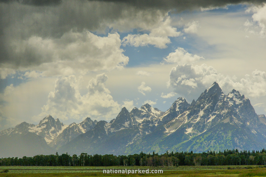
The Elk Ranch Flats Turnout is on the right. This is another good viewpoint of the Teton Range with a grassland in the foreground.
Mile 26.1 – Cunningham Cabin Historic Site
A short side road on the right leads to the Cunningham Cabin Historic Site. It is a restoration of the last remaining building of Pierce Cunningham’s Bar Flying U Ranch, built in 1888.
Mile 26.9 – Triangle X Ranch
A drive to the left gives access to the Triangle X Ranch, an authorized concessionaire that provides lodging and river trips.
Mile 29.6 – Dead Man’s Bar Road
A short, unpaved road is on the right. This is Dead Man’s Bar Road, which provides access to the Snake River.
Mile 30.2 – Snake River Overlook
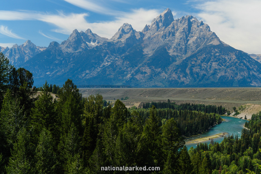
On the right is a small parking area for the Snake River Overlook. This is an impressive viewpoint, with the Teton Range as the backdrop for a scenic bend in the Snake River.
US Highway 89 Continues On
For the last part, from the Snake River Overlook to the South Entrance, see US Highway 89 Part 3.