Wawona Road
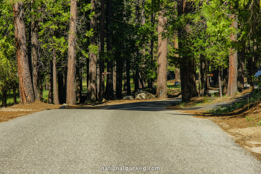
California Highway 41 enters Yosemite National Park at its southern entrance and becomes known as the Wawona Road. It leads through the Wawona area, and then through mostly forested areas until it reaches Yosemite Valley. This road is typically open all year, though tire chains may be required anytime outside of summer.
Mile 0 – South Entrance Station
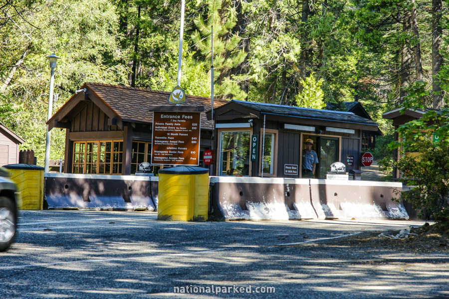
CA-41 enters the park at the South Entrance Station and becomes the Wawona Road.
Mile 0.1 – Mariposa Grove Road
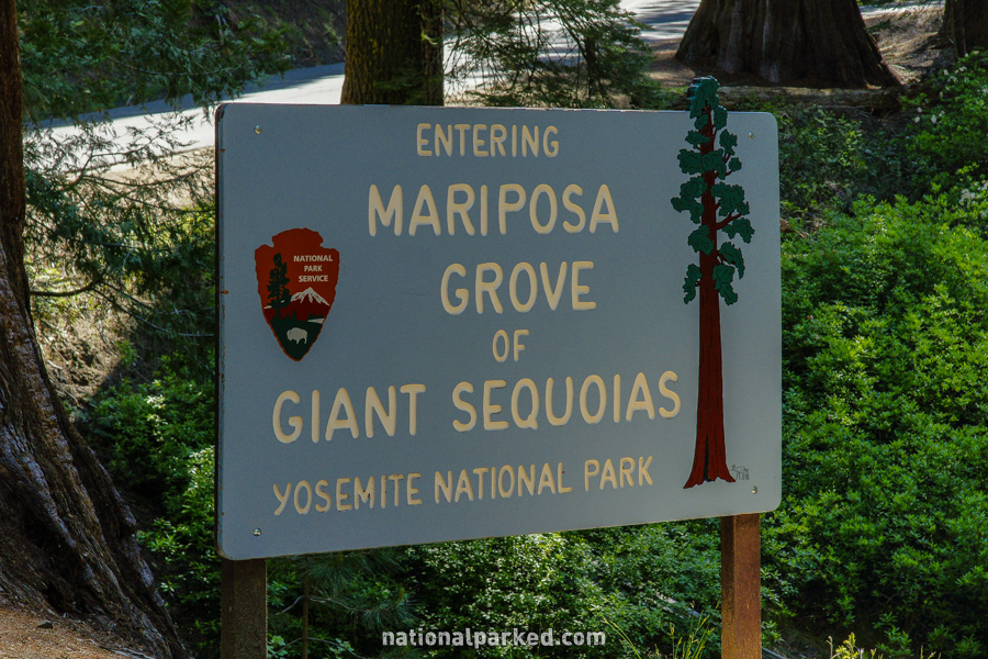
Immediately beyond the entrance station is a T intersection. The access road to the Mariposa Grove goes right. The Wawona road heads left.
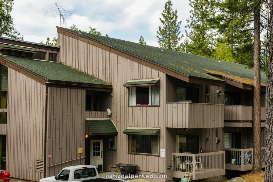
Mile 4.6 – Wawona Hotel
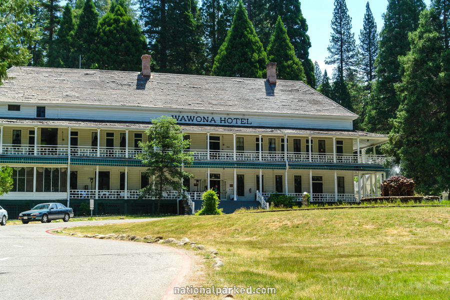
The Wawona Hotel lies to the right. This historic building is one of the few places for overnight lodging inside the park. For more information, see Yosemite Lodging.
Mile 4.9 – Chilnualna Falls Road
The Chilnualna Falls Road is on the right. This road leads back to some private residences and finally the trailhead for Chilnualna Falls. This is a 4 mile moderate hike one-way. Due to the low elevation, it can be very hot in summer. However, if you are in Yosemite when the higher country is still snow-bound, this hike may well be accessible.
Mile 5.7 – Wawona Campground
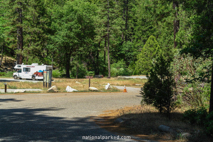
Wawona Campground is on the right. As with the hike above, this area can be weedy and hot in the summer, but its distance from the valley leaves a chance, albeit slight, that the campground may have a vacancy. For more details see Yosemite Camping.
Mile 16.7 – Yosemite West
A road to the left leads to Yosemite West, a private community.
Mile 17.2 – Glacier Point Road
The Glacier Point Road leaves the Wawona Road to the right. In a park full of world-class vistas, the best is probably at the end of this road. Glacier Point is impossible to comprehend or photograph adequately. In our opinion, the view from Glacier Point is the best in the United States, so do not miss this area.
Mile 24.0 – Wawona Tunnel
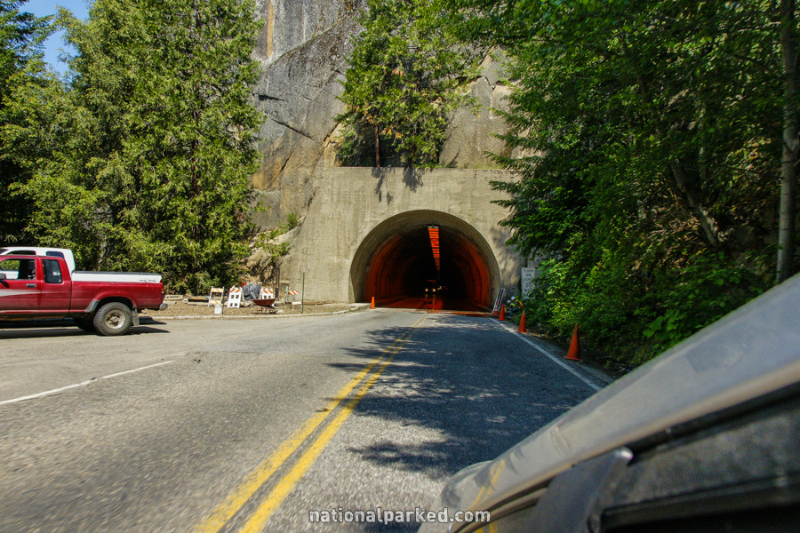
The road enters the Wawona Tunnel, a 0.8 mile span. Prepare yourself for a shock.
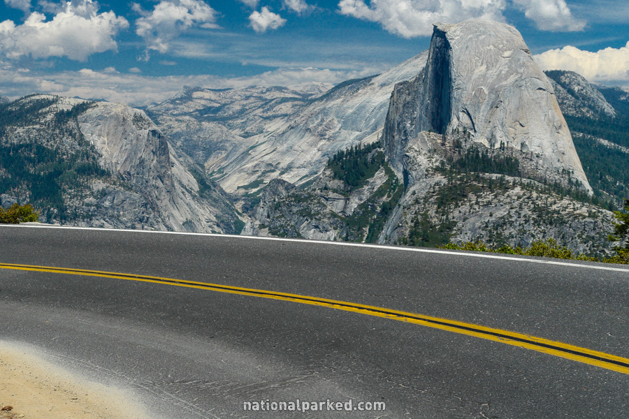
Mile 24.8 – Tunnel View
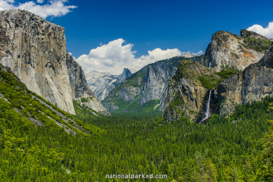
The road exits the Wawona Tunnel and presents your first view of Yosemite Valley, dubbed Tunnel View. If the air is clear, this is nearly as overwhelming a site as the view from Glacier Point. In fact, many people debate which of the two is better, but there is no doubt that both are on the short list of must-see vista points worldwide.
Mile 26.5 – Bridalveil Fall
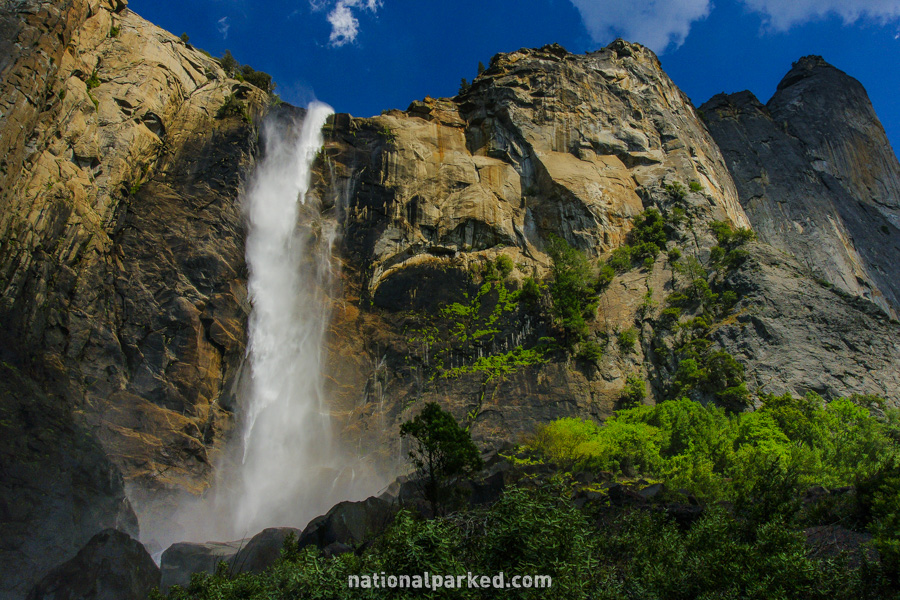
As the road nears the valley area, there is a large parking area on the right for Bridalveil Fall. This is one of the valley’s crown jewel waterfalls. Unlike Yosemite Fall and a number of others, Bridalveil normally flows year-round, albeit at much lower levels in the late summer and fall.
Mile 26.6 – Yosemite Valley area
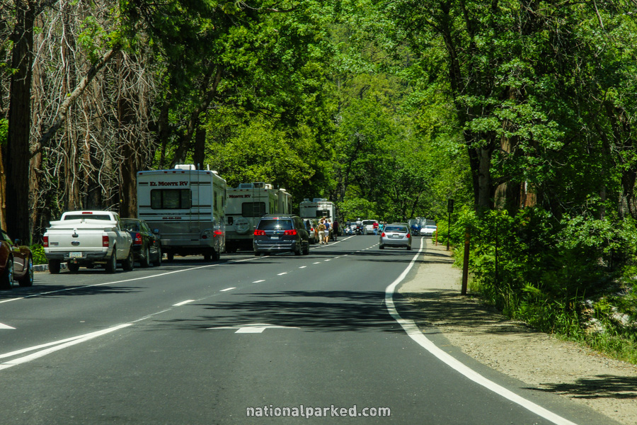
The road becomes one-way as it heads into Yosemite Valley. The Wawona Road ends here. This is a rather confusing area of one-way roads, two-way roads and side roads. Your best bet is to follow signs to whatever your destination is.