Tioga Road (Part 1)
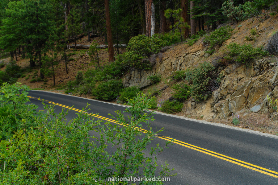
The Tioga Road runs nearly 50 miles east-west across Yosemite National Park, providing amazingly easy access to the alpine section of the park. In most years, it is closed by heavy snowfall outside of the main summer visitor season. We cover this beautiful road in two sections. Below is the first part, from the road’s beginning at Big Oak Flat Road to the scenic viewpoint Olmstead Point. For part 2, from Olmstead Point to the Tioga Pass Entrance, see Tioga Road (Part 2).
Mile 0 – Big Oak Flat Road
The Tioga Road begins at its intersection with the Big Oak Flat Road.
Mile 0.6 – Tuolumne Grove Trailhead
The parking area for the Tuolumne Grove Trailhead is on the left. This is a one mile hike one-way on what used to be a paved road open to vehicles. It is rather steep however, and is downhill all the way to the grove. Don’t underestimate the difficulty of the return climb. Those wanting to see sequoias, but not wanting to deal with the huge crowds at the popular Mariposa Grove, should give this one a try.
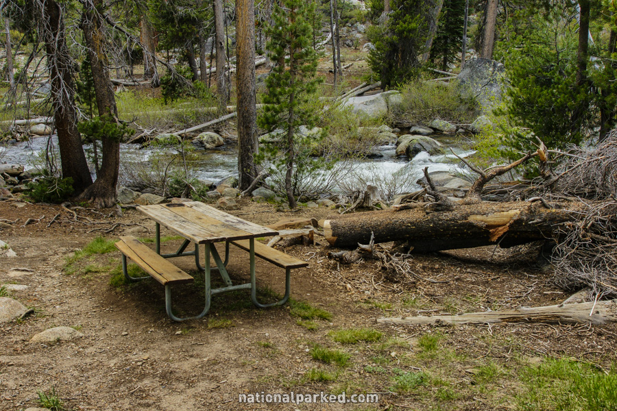
Mile 3.8 – Tamarack Flat Campground
The road passes by the Tamarack Flat Campground.
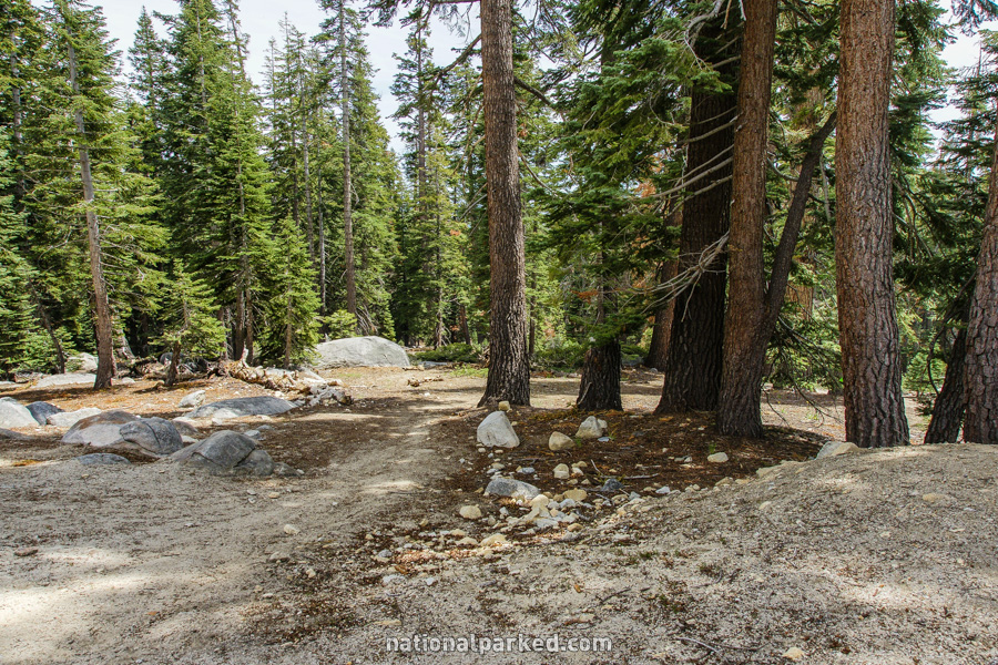
Mile 14.7 – White Wolf Lodge & Campground
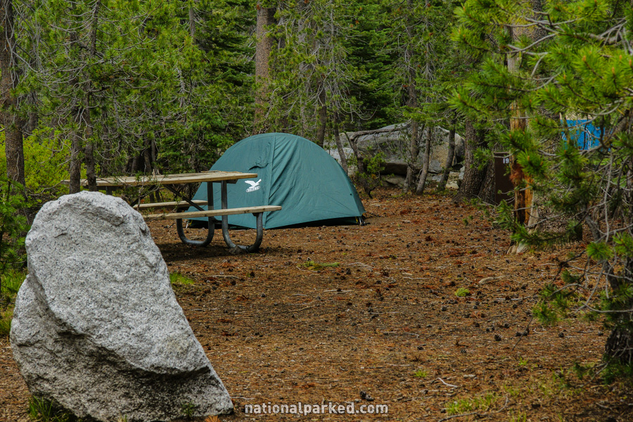
The access road for White Wolf Lodge and White Wolf Campground is on the left.
Mile 15.3 – Yosemite Creek Campground
The access road for Yosemite Creek Campground is on the left. This is a drive of about five miles and is not recommended for RVs or trailers.
Mile 16.7 – Lukens Lake Trailhead
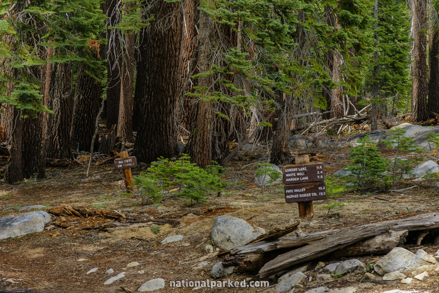
A parking area for the Lukens Lake Trailhead is on the right. The trail, an easy hike of less than a mile one-way, begins across the road.
Mile 19.9 – Ten Lakes Trailhead
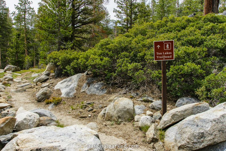
The road passes by the Ten Lakes Trailhead. This is typically the starting point for overnight hikes into the backcountry.
Mile 20.1 – Yosemite Creek Picnic Area
The Yosemite Creek Picnic Area is on the left. In addition to being a nice place to stop and eat, there is also good access to Yosemite Creek itself, flowing quietly in the high country miles from its 2,429 foot drop over Yosemite Fall.
Mile 25.2 – Porcupine Creek Trailhead
The road goes by the parking area for the Porcupine Creek Trailhead. This trail can be used to access a number of areas, including a somewhat difficult five mile hike to North Dome.
Mile 29.8 – Olmstead Point
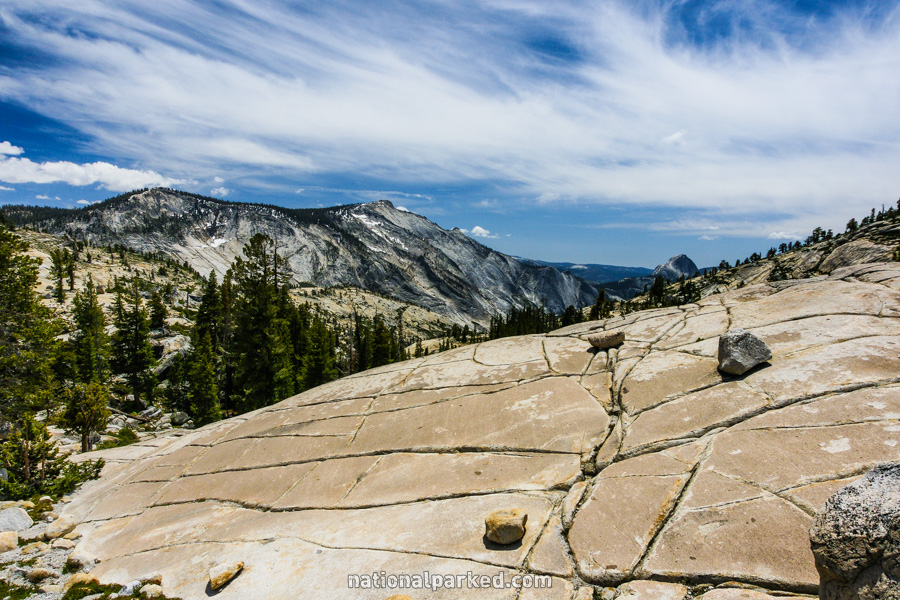
Olmstead Point is on the right side of the road. This is a classic view of Yosemite’s High Sierra. Expanses of granite surround the area, and Half Dome can be seen in the distance.
The Tioga Road Continues On
The road continues on to the Tioga Pass Entrance on the east side of the park. For that section, see Tioga Road (Part 2).