Tioga Road (Part 2)
The Tioga Road runs nearly 50 miles east-west across Yosemite National Park, providing amazingly easy access to the alpine section of the park. In most years, it is closed by heavy snowfall outside of the main summer visitor season. We cover this beautiful road in two sections. Below is part 2, from Olmstead Point to the Tioga Pass Entrance. For part 1, from the road’s beginning at Big Oak Flat Road to Olmstead Point, see Tioga Road (Part 1).
Mile 31.1 – Sunrise Trailhead
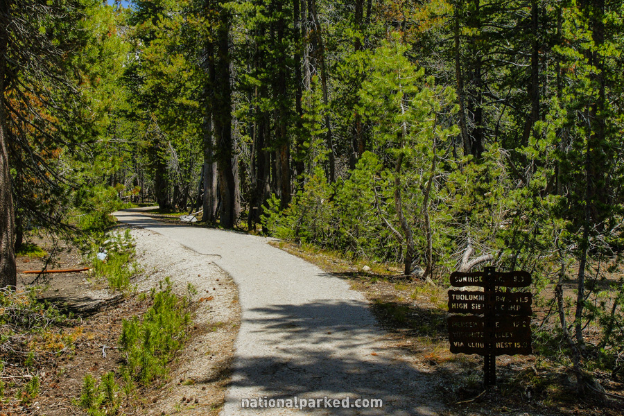
The Tioga Road continues west from Olmstead Point and reaches the Sunrise Trailhead. This is a hike of over five miles one-way to the Sunrise High Sierra Camp.
Mile 31.9 – Murphy Creek Trailhead
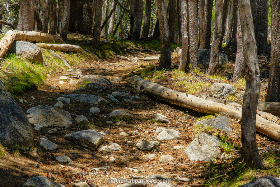
The road passes by the parking area for the Murphy Creek Trailhead.
Mile 32.6 – Tenaya Lake Picnic Area & Trailhead
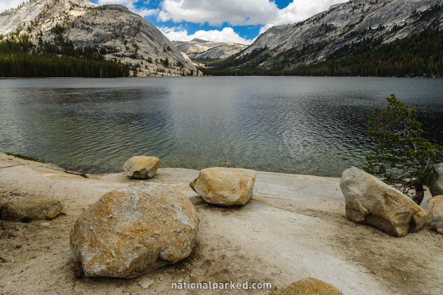
The Tenaya Lake Trailhead and picnic area is on the right. The trail follows along the shore of the lake, shown to the left.
Mile 37.5 – Tuolumne Meadows
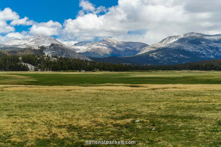
The road enters the Tuolumne Meadows area. This is a beautiful large open area surrounded by granite. The Tuolumne River runs through here, and in early melt season, can fill the meadow area.
Mile 38.4 – Cathedral Lakes Trailhead
The road passes by the parking area for the Cathedral Lakes Trailhead. This is a one-way hike of four miles to two lakes in the Cathedral Range, and is very popular. It is often done as an overnight hike, however, permits can be hard to come by due to its popularity.
Mile 38.8 – Tuolumne Meadows Visitor Center
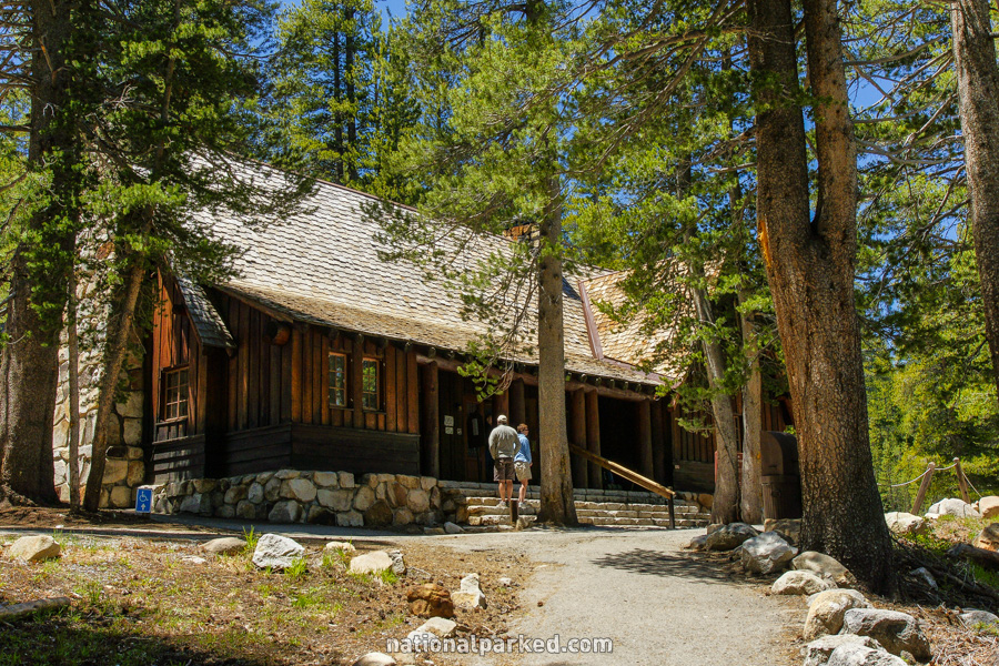
The Tuolumne Meadows Visitor Center is on the right.
Mile 39.9 – Tuolumne Meadows Campground
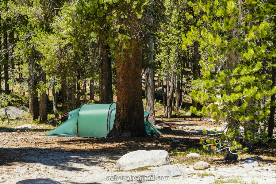
Access to the Tuolumne Meadows Campground is on the right. For more information on this very popular campground, see Yosemite Camping.
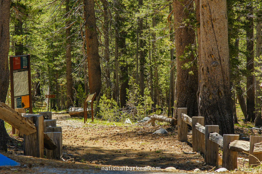
Mile 40.0 – Lembert Dome, Soda Springs, & Dog Lake Trailheads
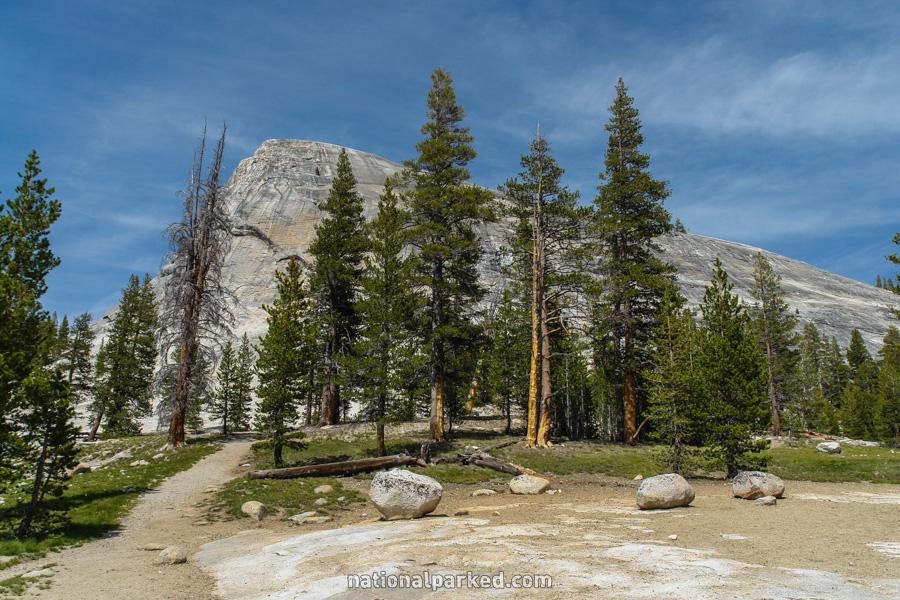
A parking area for several popular trailheads is on the left. Hikes to Lembert Dome, Soda Springs, and Dog Lake all begin from here. Lembert Dome is shown to the left.
Mile 40.5 – Tuolumne Meadows Lodge
The road to the Tuolumne Lodge is on the right. See Yosemite Lodging for more information.
Mile 41.7 – 9,000 feet
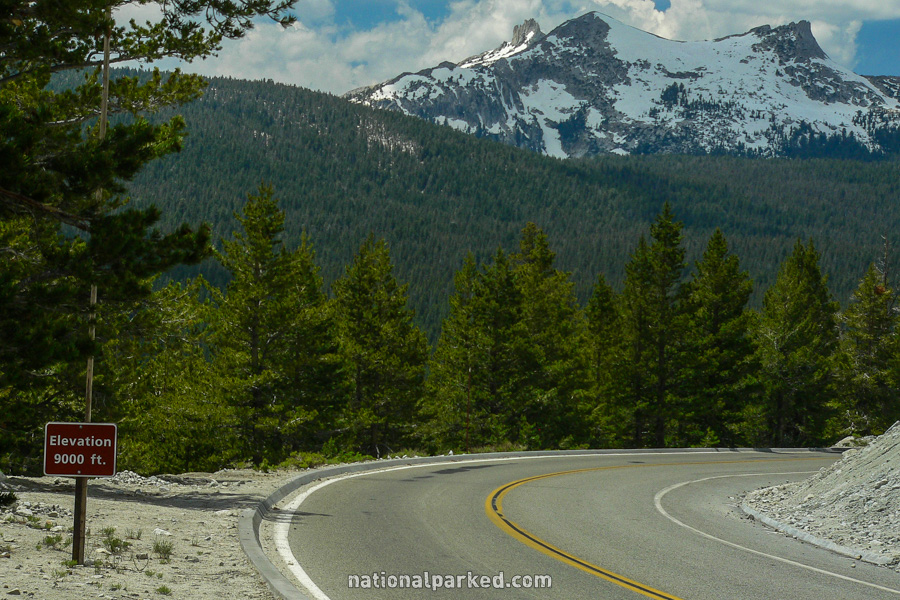
The road reaches an elevation of 9,000 feet.
Mile 45.7 – Mono Pass Trailhead
The parking area for the Mono Pass Trailhead is on the right. This is a moderate hike of nearly four miles to Mono Pass.
Mile 47.2 – Tioga Pass
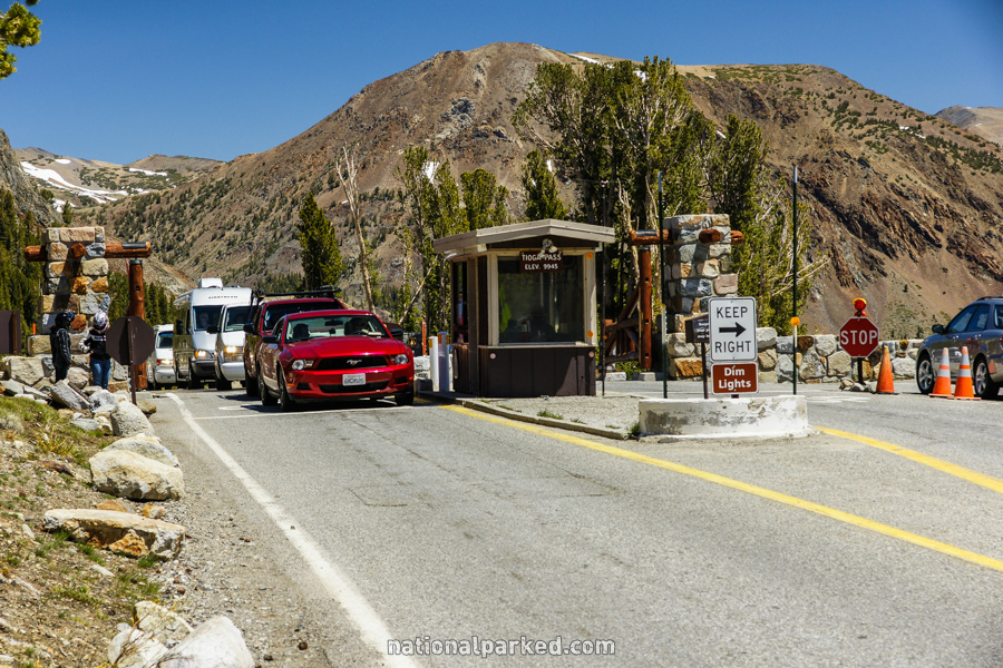
The Tioga Road ends as it leaves the park at the Tioga Pass Entrance Station at an elevation of nearly 10,000 feet. CA-120 continues on into the High Sierra. Over the last mile or so of the Tioga Road the Tuolumne River is nearby.