Glacier Point Road
Glacier Point Road climbs steeply on its way to one of the best vistas in the world, let alone Yosemite National Park, in Glacier Point itself. On the way, it also provides access to several good trails, a campground, and other viewpoints that are nearly the match of Glacier Point.
Mile 0 – Wawona Road
The Glacier Point Road begins at its intersection with the Wawona Road.
Mile 5.0 – Badger Pass Ski Area
The road passes the access road to the Badger Pass ski area. This area is open only in winter. The Glacier Point Road is closed beyond this point until early May to early July, depending on the snow levels.
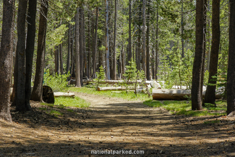
Mile 7.7 – McGurk Meadow Trailhead
The road passes the parking area for the McGurk Meadow Trailhead. This is an easy hike of less than a mile one-way to McGurk Meadow, one of Yosemite’s better spots for wildflowers. They normally peak in July.
Mile 7.9 – Bridalveil Creek Campground
The road goes by the Bridalveil Creek Campground. If the campground isn’t open, it’s possible the sign will not be posted, and this will just look like a side road to nowhere. For more on the campground, see Yosemite Camping.
Mile 9.2 – Ostrander Lake Trailhead
The parking area for the Ostrander Lake Trailhead is on the right. This is a one-way hike of over six miles to Ostrander Lake. It can be done as a long dayhike, but is often done as an overnight trip.
Mile 10.4 – Mono Meadow Trailhead
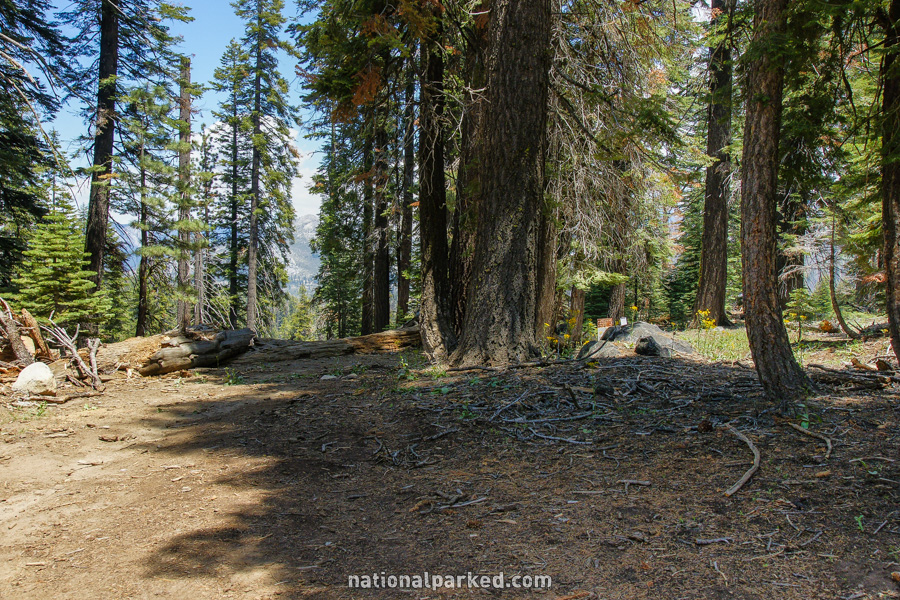
Another parking area, this one for the Mono Meadow Trailhead, is on the right.
Mile 13.5 – Sentinel Dome & Taft Point Trailheads
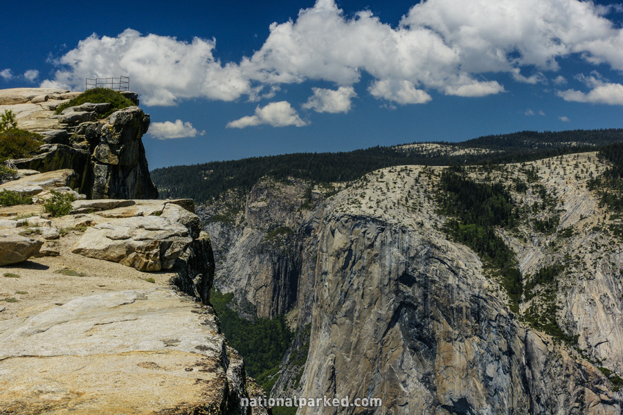
A large parking area for the Taft Point and Sentinel Dome Trailheads is on the left. It is quite possible that this lot will be full during the summer season. There is some limited parking along the roadside. Both of these hikes are about a mile one-way. See Yosemite Hiking Trails for more information. The view from Taft Point is shown to the left.
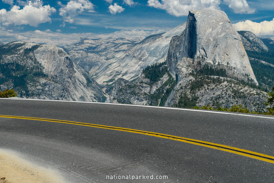
Mile 15.2 – Washburn Point
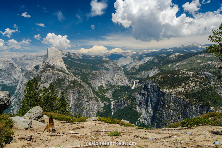
Washburn Point is on the right. This is another overwhelming view of Yosemite Valley and beyond. If you prefer your first view to be from Glacier Point itself, save this for the return drive.
Mile 15.6 – “Darwin’s Curve”
The road makes a 180 turn away from the valley rim. We informally dubbed this area “Darwin’s Curve”. There is no guardrail and virtually no extra land before the 3,000 foot drop to the valley floor. Make sure your driver isn’t enjoying the view more than the drive.
Mile 15.9 – Glacier Point parking area
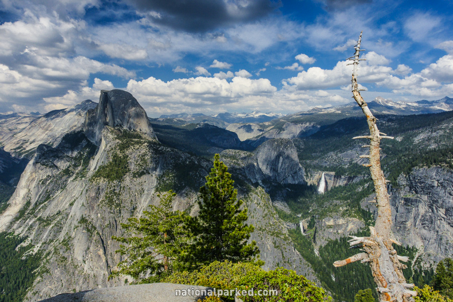
The road ends at the massive parking area for Glacier Point. A short walk leads past restrooms, the Panorama Trail, a gift shop, and a snack bar, and quickly to the first views of the valley below. Glacier Point itself is a short way to the left. This is arguably the best view in the park, and one of the best in the world.