The Roads of Yosemite
Yosemite is traversed by one main east-west (CA-120, most of which is the Tioga Road) and one north-south road (CA-41, most of which is the Wawona Road). CA-140 comes in from the west and the city of Merced, entering the park at El Portal. CA-120 also comes in from the west as the Big Oak Flat Road, and becomes the Tioga Road. Big Oak Flat Road continues on to Yosemite Valley.
A network of mostly one-way roads covers the incomparable Yosemite Valley. Another road heads to Glacier Point from the Wawona Road. The Tioga Road and Glacier Point Road are closed by deep snow in winter, and usually don’t open until betwen early May and early July, depending on the year.
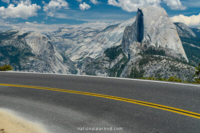
Start Point: Mile 0 – Wawona Road
End Point: Mile 15.9 – Glacier Point parking area
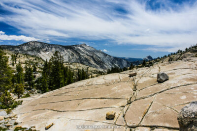
Start Point: Mile 0 – Big Oak Flat Road
End Point: Mile 29.8 – Olmstead Point
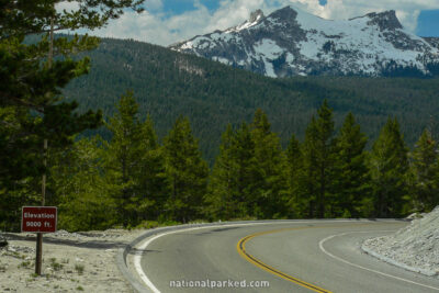
Start Point: Mile 29.9 – Olmstead Point
End Point: Mile 47.2 – Tioga Pass Entrance
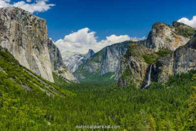
Start Point: Mile 0 – South Entrance
End Point: Mile 26.6 – one-way start at Yosemite Valley