- This page contains affiliate links. Purchases made through them may earn us a small fee.
- As an Amazon Associate we earn from qualifying purchases.
Yosemite National Park – Trails Illustrated
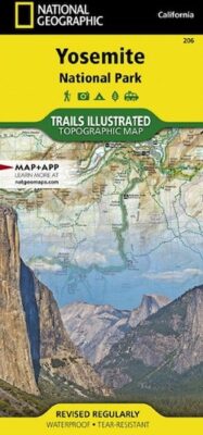
This is National Geographic’s trail map of Yosemite National Park, part of the well-known Trails Illustrated series. These durable and detailed maps are the gold standard for trail maps of the natural areas all over the United States. They are highly recommended purchases for anyone planning to do any hiking in the park.
Available at Amazon
Yosemite National Park Sectional Map Bundle – Trails Illustrated
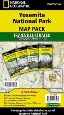
This is a bundle of all four of the sectional maps of Yosemite National Park, listed individually following this. They are part of the excellent Trails Illustrated series from National Geographic. The map above is the overall map of the park. Those wanting all of the more detailed maps can save some money by getting all four in this bundle.
Available at Amazon
Yosemite National Park SW: Yosemite Valley & Wawona – Trails Illustrated
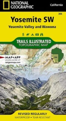
This is the first of four sectional trail maps covering Yosemite. This one covers the southwest section of the park, including Yosemite Valley and Wawona.
Available at Amazon
Yosemite National Park SE: Ansel Adams Wilderness – Trails Illustrated
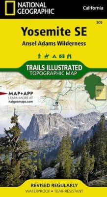
This is the second of four sectional trail maps covering Yosemite. This one covers the southeast section of the park, including the Ansel Adams Wilderness.
Available at Amazon
Yosemite National Park NW: Hetch Hetchy Reservoir – Trails Illustrated
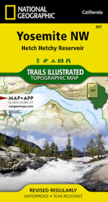
This is the third of four sectional trail maps covering Yosemite. This one covers the northwest section of the park, including the Hetch Hetchy Reservoir.
Available at Amazon
Yosemite National Park NE: Tuolumne Meadows – Trails Illustrated
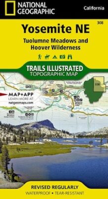
This is the last of four sectional trail maps covering Yosemite. This one covers the northeast section of the park, including the Tuolumne Meadows area.
Available at Amazon