Hiking Trails in Yosemite
Yosemite has a wide range of hikes of all lengths and difficulties. While many of the most popular trails are very crowded, most of the park, especially north of the Tioga Road, is wilderness. The trails we cover here, for now, are located mostly along the Glacier Point Road, the Tioga Road, and within Yosemite Valley.
Hiking distances given below are total, roundtrip distances unless otherwise stated. Difficulties are only a general guideline, for an adult in good condition, and do not take into account trail length. We strongly recommend you also have a good Yosemite Trail Map with you.
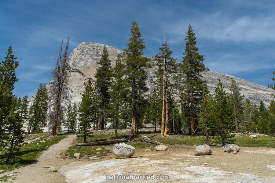
Lembert Dome
The Hike: The trail is also the route to Dog Lake, until it branches to the right toward Lembert Dome after 1.2 miles. From there, it is another half mile to the trail up Lembert Dome. This gets quite steep and slippery toward the top, and is not advised for anyone with a fear of heights. After descending, turn left to return the way you came, or turn right to shortly cross the Tioga Road and follow along another path along the road. This is a loop option that shortens the total distance by over half a mile, but is not as scenic. The 4 mile distance listed assumes returning the same way.
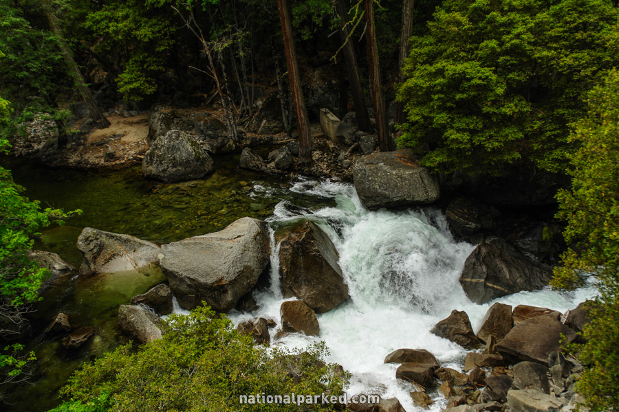
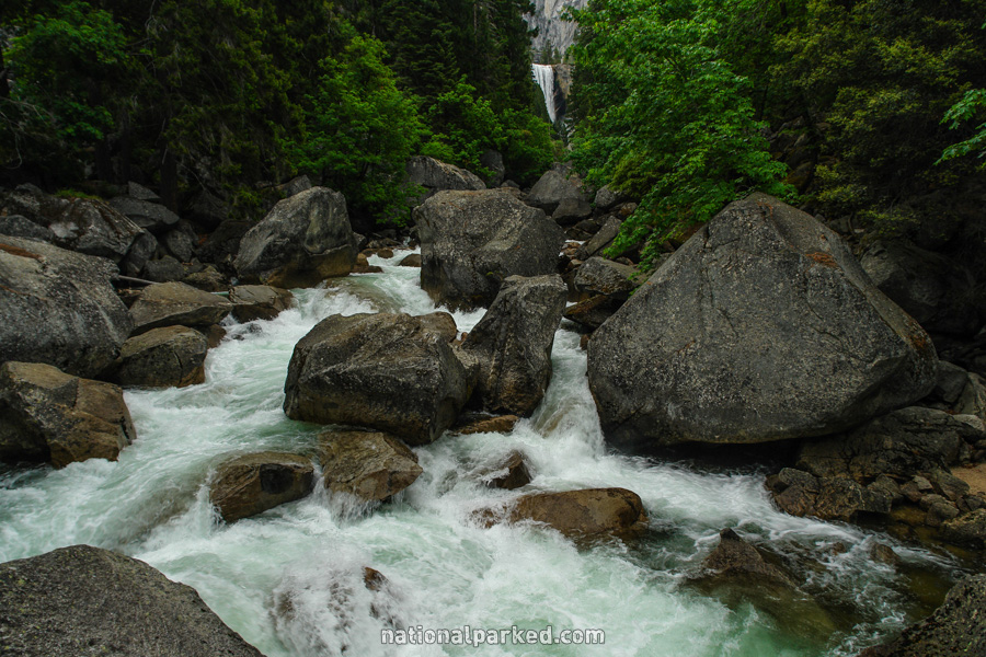
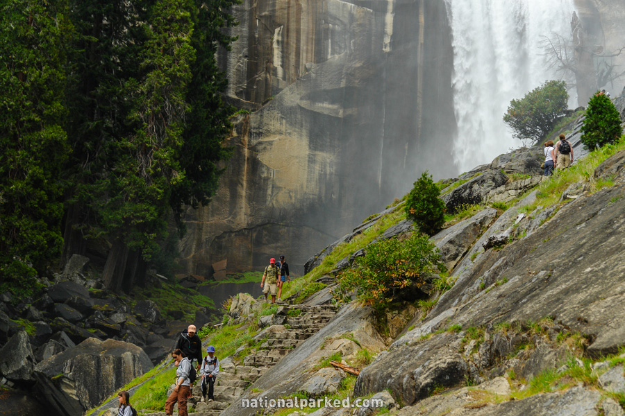
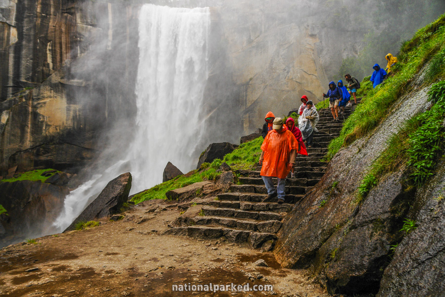
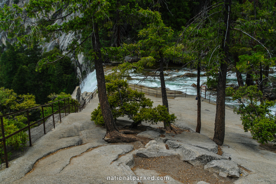
Mist Trail
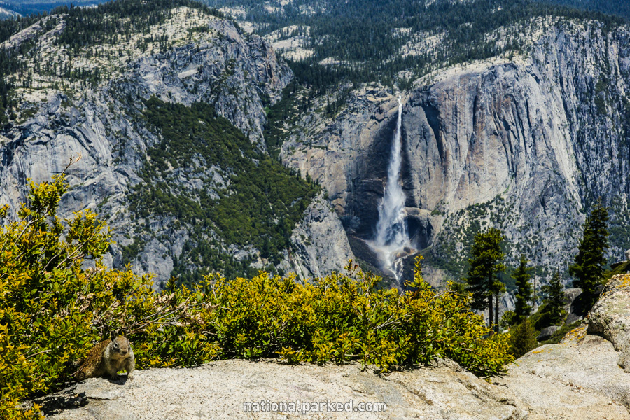
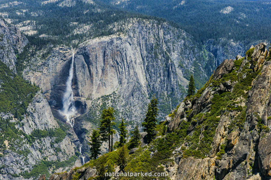
The Hike: In May and June, during peak waterfall flow, it’s hard to find a better hike in the park, or anywhere else. The hike begins from the Happy Isles shuttle stop, and follows the John Muir Trail rather steeply for the first mile to the bridge over the Merced River, where most people stop and the actual Mist Trail begins.
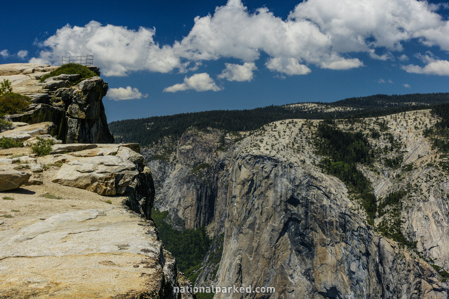
Taft Point
The Hike: Instead of turning right and upward for Sentinel Dome, turn left and head gently downhill. The trail leads mostly through the woods until it emerges onto granite near the valley rim. Taft Point itself is a slight rock overhang, protected by a small metal rail, that gives another great view over the valley and beyond.
In the area are the “fissures”, narrow cracks in the granite. The valley floor, 3,000 feet below, can be seen through them, probably proving a bit too much for anyone fearful of heights. Then again, the Glacier Point area in general is not for those with those fears.
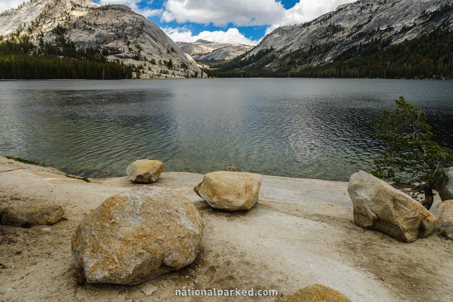
Tenaya Lake
The Hike: This is an easy walk along the shores of Tenaya Lake. Follow it for any distance, or take the trail all the way to the Tioga Road and use the Tuolumne Meadows Shuttle to return to the picnic area and your car.