National Parked

  • Death Valley
  • FactsFast Facts
  • WeatherWeather
  • TransportationGetting There
  • LodgingLodging
  • CampingCampgrounds
  • Hiking TrailsHiking Trails
  • Road GuidesRoad Guides
  • PhotosPhoto Gallery
  • BooksBooks
  • Trail MapsTrail Maps
  • DVD & Blu-rayDVD & Blu-ray

© 2004–2019 National Parked

Find a Park • Photos • Books • Maps • DVD & Blu-ray • Contact Us
National Parked header image
Home » Death Valley » Trail Maps

Trail Maps

Death Valley National Park – Trails Illustrated

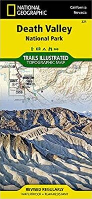
This is National Geographic’s trail map of Death Valley National Park, part of the well-known Trails Illustrated series. These maps are pretty much the standard for trail maps of the national parks, and many other areas. They are durable, detailed, and very readable. They are highly recommended purchases for anyone planning to do any hiking in the park.

Purchase this map at Amazon • National Geographic Store

Find a Park • Copyright Notice • Disclaimer • Privacy Policy • Terms of Use • Contact Us
  • All photos and written content © 2004-2019 National Parked except as noted.
  • Logos and trademarks remain the property of their respective owners.
  • We are not affiliated with or endorsed by the National Park Service.