Badwater Road
The Badwater Road heads south from CA-190, eventually turning east on its way out of Death Valley National Park. We cover the first 16.6 miles of the road here, leading past most of the well-known features in this area.
Mile 0 – CA-190 Junction
The Badwater Road begins at its junction with CA-190.
Mile 2.0 – Golden Canyon Trailhead
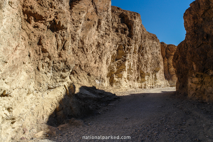
On the left is a parking area for the Golden Canyon Trail. This trail winds back into beautiful Golden Canyon, and has a good amount of shade for a hot day. See Death Valley Hiking for more info.
Mile 6.0 – West Side Road
The unpaved West Side Road heads off to the right.
Mile 8.6 – Artist Drive
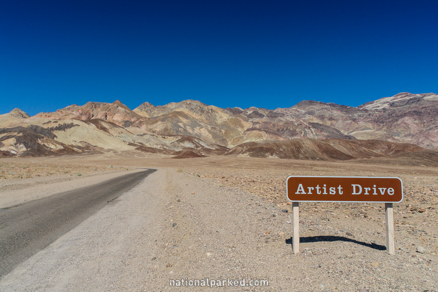
The entrance to the one-way Artist Drive is on the left. This is a must-do side trip. The road travels through highly colorful formations, including the spectacular Artists Palette. See our Photo Gallery for more examples of the sights along this road.
Mile 11.0 – Devil’s Golf Course
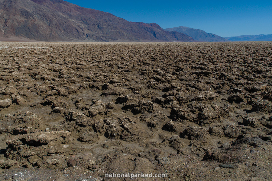
A short side road to the Devil’s Golf Course is on the right. The road is unpaved and quite rough, but it passable to normal cars with some caution. This is a bizarre area of formations and salt crystals.
Mile 13.1 – Natural Bridge Trail Road
Another rough dirt road, this time on the left, leads to the Natural Bridge Trail.
Mile 16.6 – Badwater Basin
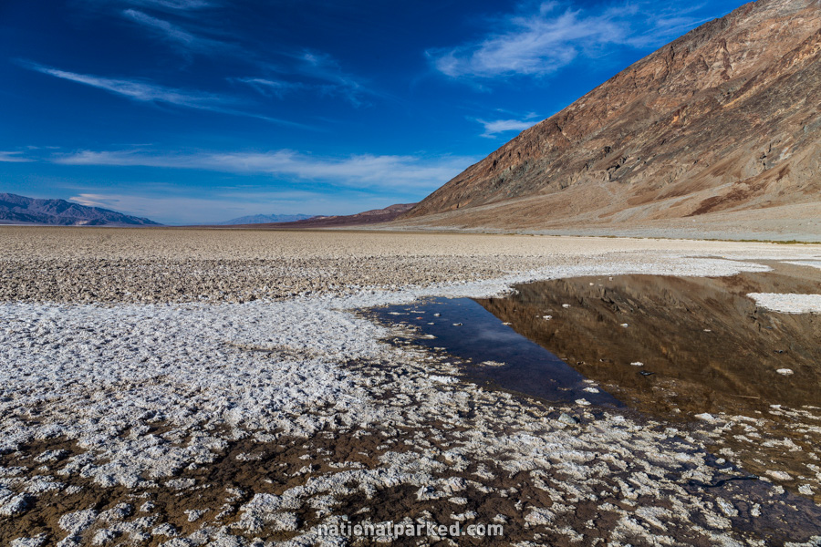
The road arrives at its namesake, the Badwater Basin. Here is a parking area allowing for a walk on the lowest land in the Northern Hemisphere. Quite a lot can be seen from the area immediately off of the parking area, or a hike into the basin can be made. Do NOT make this hike in the summer.
From here, the Badwater Road continues on more than 50 miles before leaving the park. We have not yet logged this section.