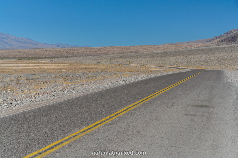
California Highway 190 (Part 1)
California Highway 190 crosses Death Valley National Park west to east. This road covers a wide range of elevations and conditions along the way, with speeds as high as 65 miles per hour, the highest in any national park. We cover this road in two sections. The first section, from the western entrance to Scotty’s Castle Road, is covered below. For Part 2, from Scotty’s Castle Road to the eastern entrance, see California Highway 190 Part 2.
Mile 0 – Park Entrance
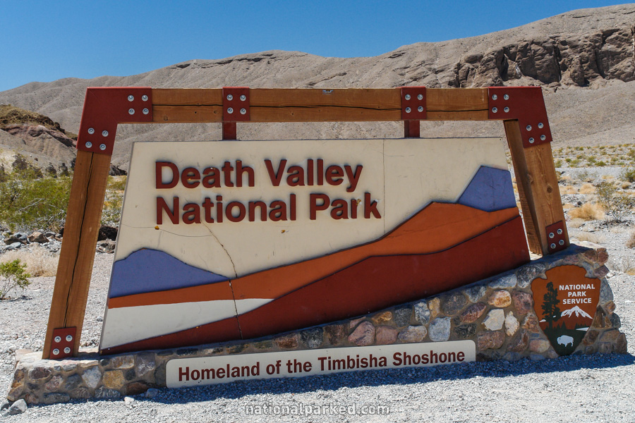
California Highway 190 (CA-190) enters the park at the West Entrance Sign.
Mile 4.5 – Father Crowley Overlook
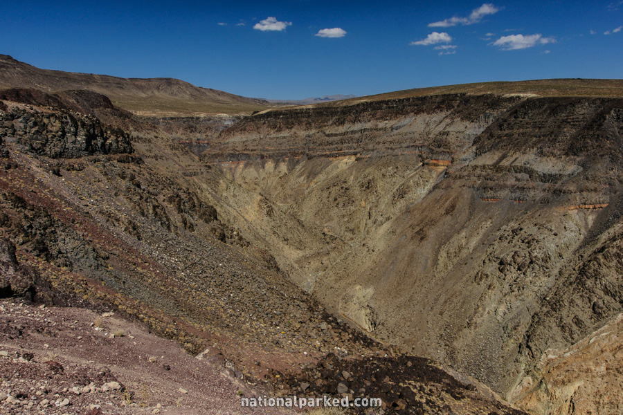
The road passes by the Father Crowley Overlook. Whereas in most national parks you increase elevation as you go in, here you will lose elevation, then gain some up to Towne Pass at nearly 5,000 feet, and then lose over 5,000 feet (and gain temperature) as you approach the Furnace Creek area.
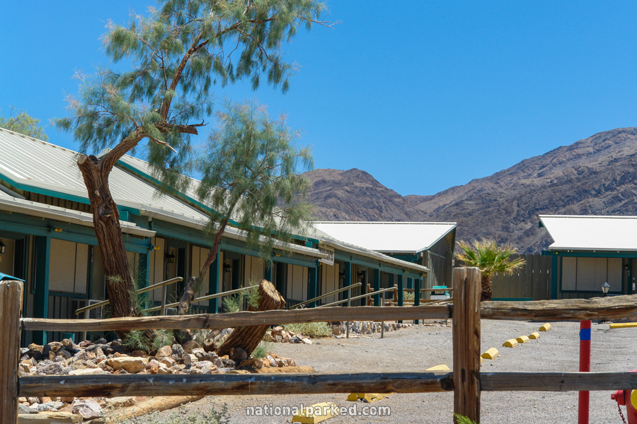
Mile 12.6 – Panamint Springs Resort
The road passes by the private Panamint Springs Resort on the right.
Mile 26.7 – Towne Pass
The road reaches Towne Pass at an elevation of 4,956 feet. From this point on it is a long downward trend.
Mile 34.0 – Emigrant Campground
The Emigrant Campground is on the right. For more information, see Death Valley Camping.
Mile 34.4 – Emigrant Canyon Road
The Emigrant Canyon Road is on the right. No vehicles over 25 feet long are allowed on this road. The Wildrose Campground is located on this road, as are two more once the road loses pavement and becomes high clearance four wheel drive only.
Mile 43.6 – Stovepipe Wells Village
The road passes by the Stovepipe Wells Village area. This is a full service area, with lodging, camping, food, fuel, and a ranger station. See Death Valley Lodging for more information.
Mile 43.7 – Sea Level
Just past Stovepipe Wells, the road reaches the sea level mark for the first time.
Mile 45.7 – Sand Dunes
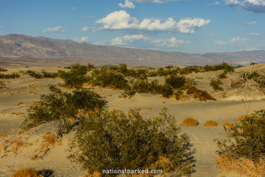
The Sand Dunes parking area is on the left. If you are visiting during the cooler months of winter, the exploration of these dunes is a recommended activity. However, if your visit is during the hot months, settle for the roadside view as shown at left.
Mile 48.5 – Devil’s Cornfield
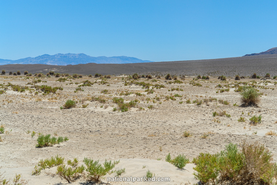
The road passes by the Devil’s Cornfield. Early visitors thought the plants, which are really arrowweed, looked like twisted corn plants.
Mile 51.1 – Scotty’s Castle Road
Scotty’s Castle Road is on the left. This road leads 36.8 miles to Scotty’s Castle, then on to the park boundary. It passes the side road to Ubehebe Crater on the way.
California Highway 190 Continues On
CA-190 continues on. For the next section, see CA-190 Part 2.