Hiking Trails in Virgin Islands
There are trails and walking paths throughout the national park areas of St. John. The island’s terrain is quite steep and rugged, so hikes within the interior can be difficult at times. Trails lead to a number of secluded bays and beaches, while others lead to and through historical sites.
Hiking distances given below are total, roundtrip distances unless otherwise stated. Difficulties are only a general guideline, for an adult in good condition, and do not take into account trail length. We strongly recommend you also have a good Virgin Islands Trail Map with you.
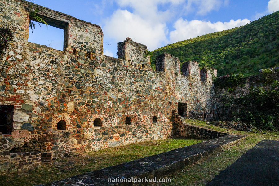
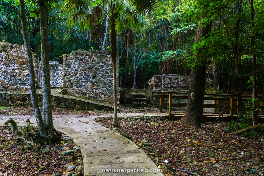
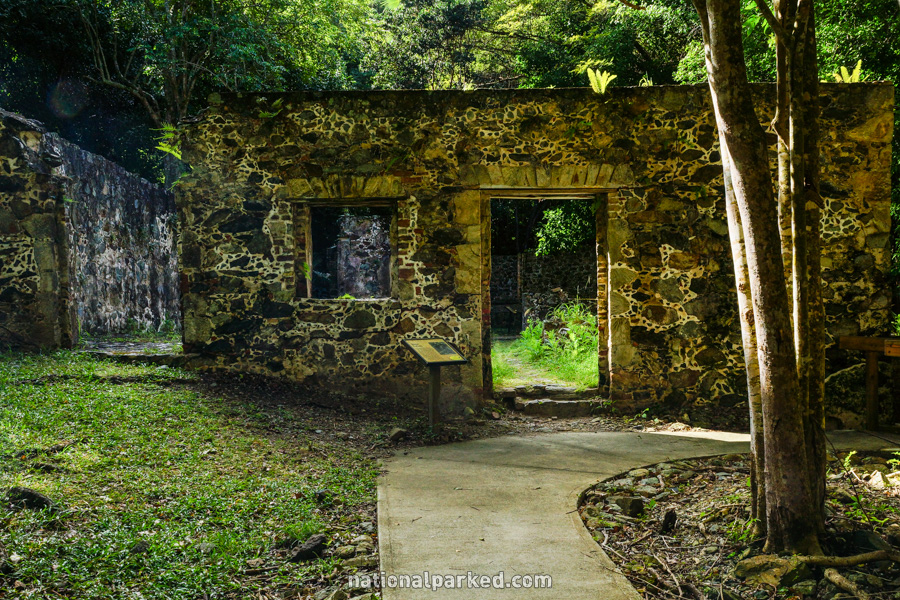
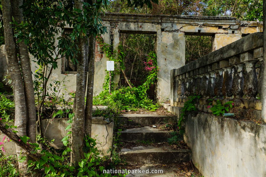
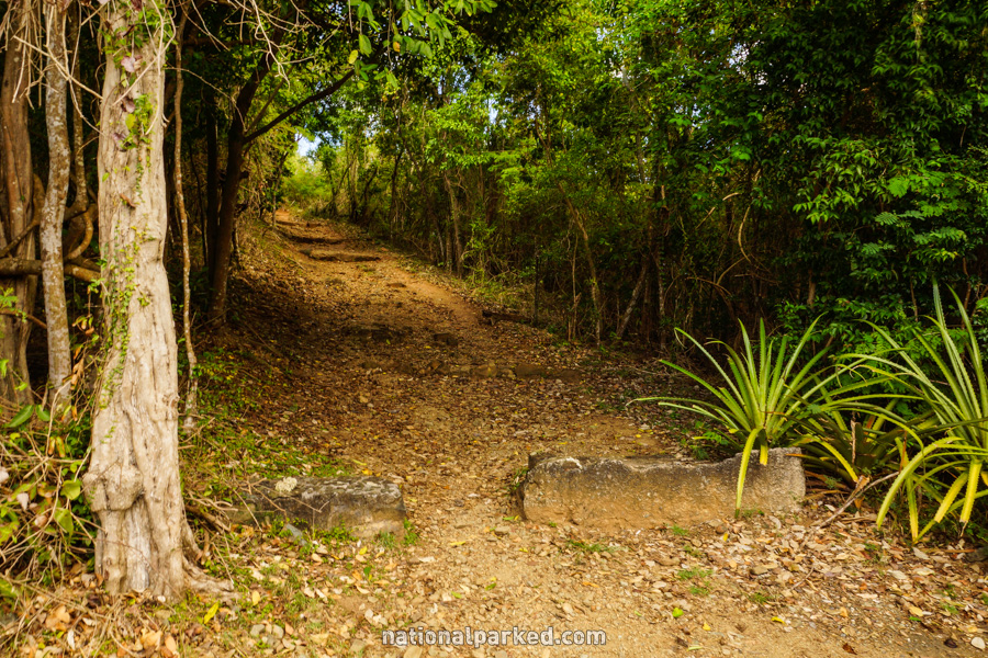
Annaberg Walking Trail
The Hike: This is not so much a hike as a walk around a historical area. Ruins of the Annaberg Sugar Mill are the main attraction here. Paved paths wander around the ruins of the various buildings of the area, and a great ocean viewpoint can be reached at the top of the area.
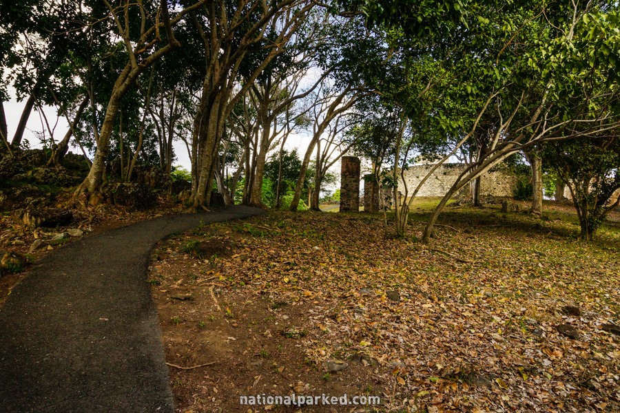
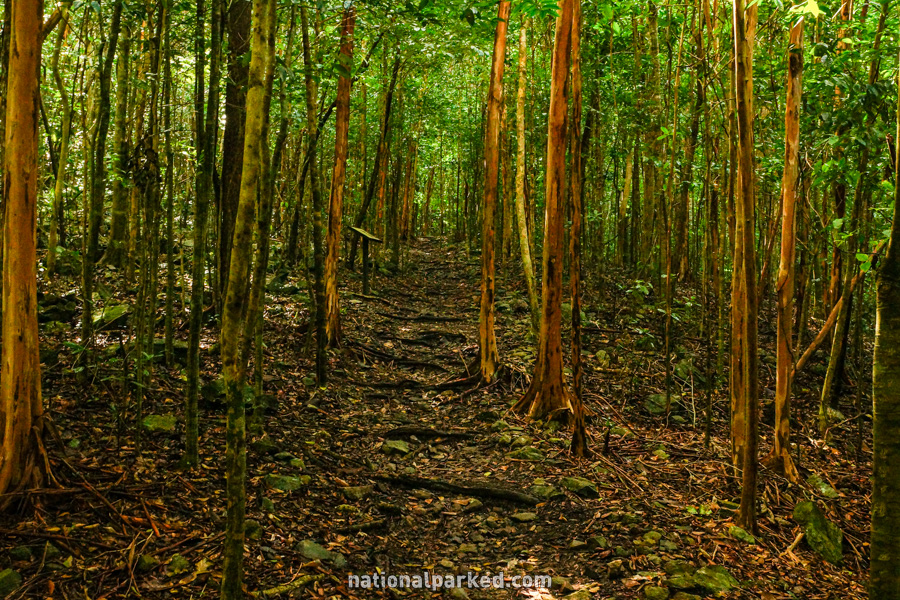
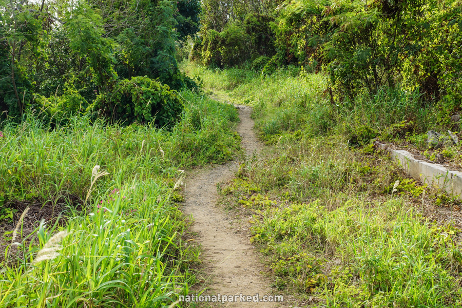
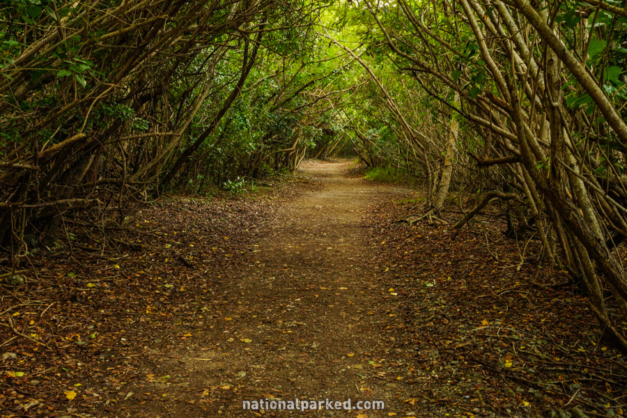
Cinnamon Bay Loop Trail
The Hike: This easy trail provides an easy way to tour some of the area’s history. The trail first visits an old sugar mill before heading into the woods. An old Danish cemetery, stands of Bay Rum trees, a plantation house, and a bake oven are among the other highlights of the trail.
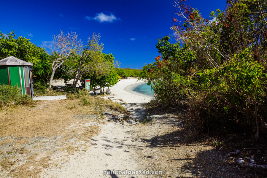
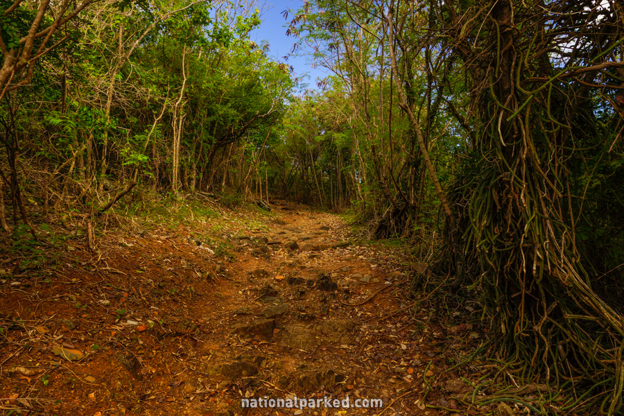
Francis Bay Walking Trail
The Hike: This is an easy hike, with only one short hill to deal with. Near the beginning, it passes the ruins of an old plantation house. A short time later it arrives on the beach at Francis Bay. The hike can be continued beyond the beach and through mangrove forest to the Francis Bay Salt Pond.

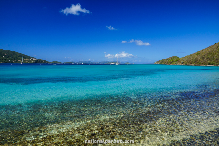
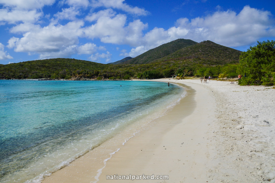
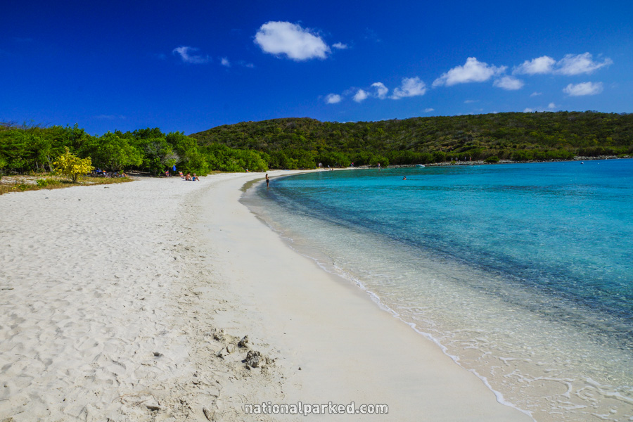
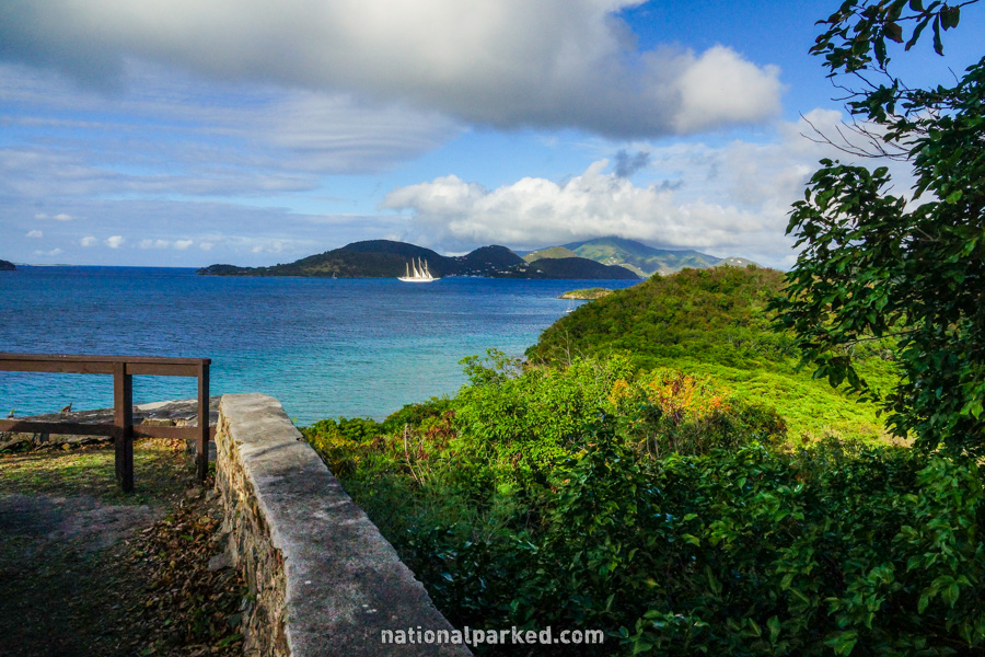
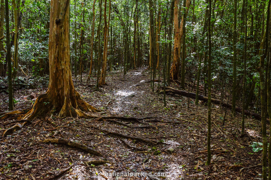
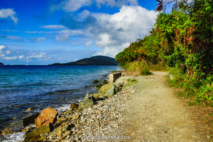
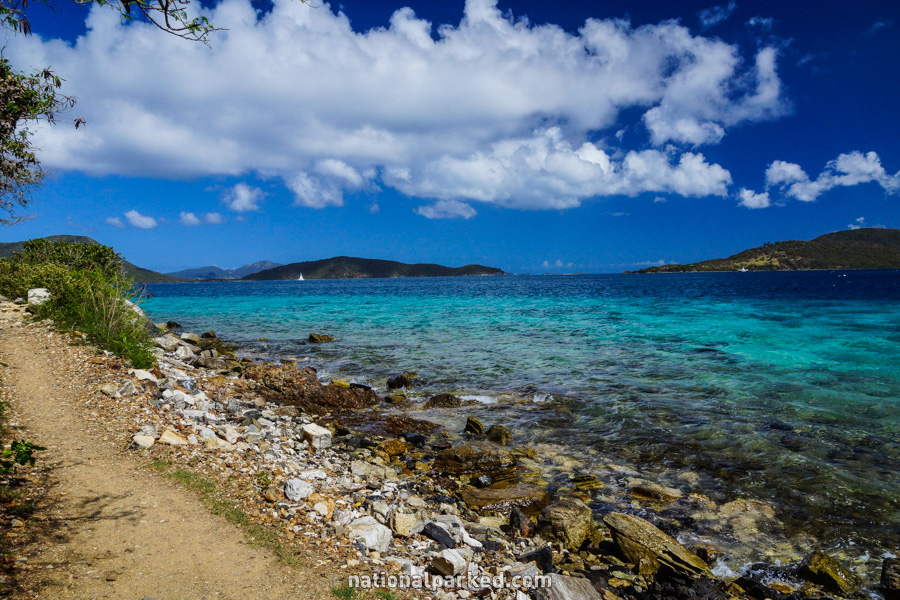
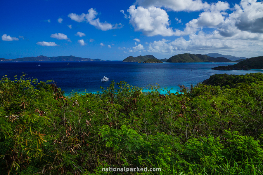
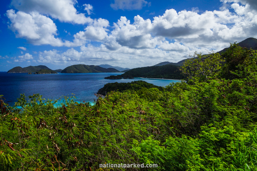
Leinster Bay Trail
The Hike: This hike follows an old Danish road along the shore of Leinster Bay, at times disappearing into the shoreline vegetation. It is a mostly wide and gravel covered path. It ends at Waterlemon Bay, an excellent area for swimming and snorkeling. Beautiful views can be had all along this trail, right from the beginning.
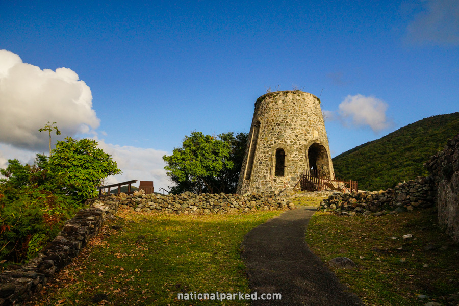
Peace Hill Trail
The Hike: The very short length of this trail stretches the definition of hike, but the wonderful views at the top make it worth including here. It is an uphill walk, but it is so short that it should not prove difficult. The ruin of a windmill can be found at the top, along with the expansive views.
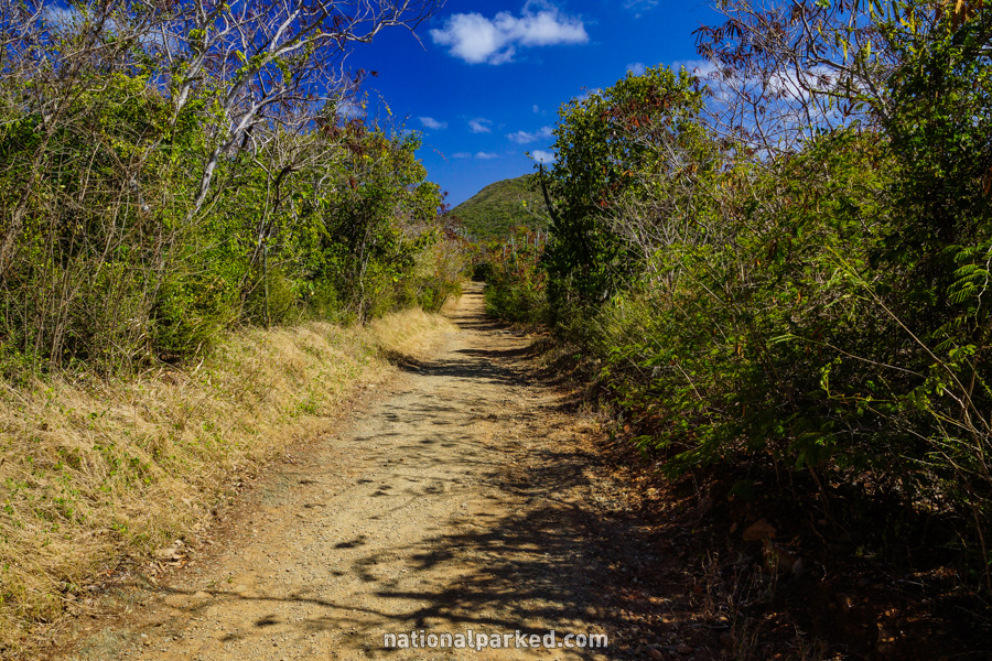
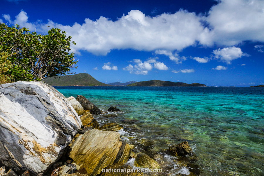
Salt Pond Trail
The Hike: This trail provides access to Salt Pond Bay, and Salt Pond and Drunk Bay beyond. Although it is short, it is somewhat steep, and completely exposed to the sun. For this reason, it can be a little taxing on some people. This is one of the hottest areas on the island of St. John. Salt Pond Bay is a secluded beach, but plenty of people still find it.