Generals Highway (Part 3)
The Generals Highway runs from the Ash Mountain Entrance in the south part of Sequoia to the Kings Canyon Scenic Drive in Kings Canyon, passing through Sequoia National Forest on the way. We cover this road in three sections. The last part runs from the national forest boundary to the road’s end at the Kings Canyon Scenic Drive. It is covered below. For the previous part, from Crystal Cave Road to the national forest boundary, see Generals Highway Part 2.
Mile 33.8 – Stony Creek Campground
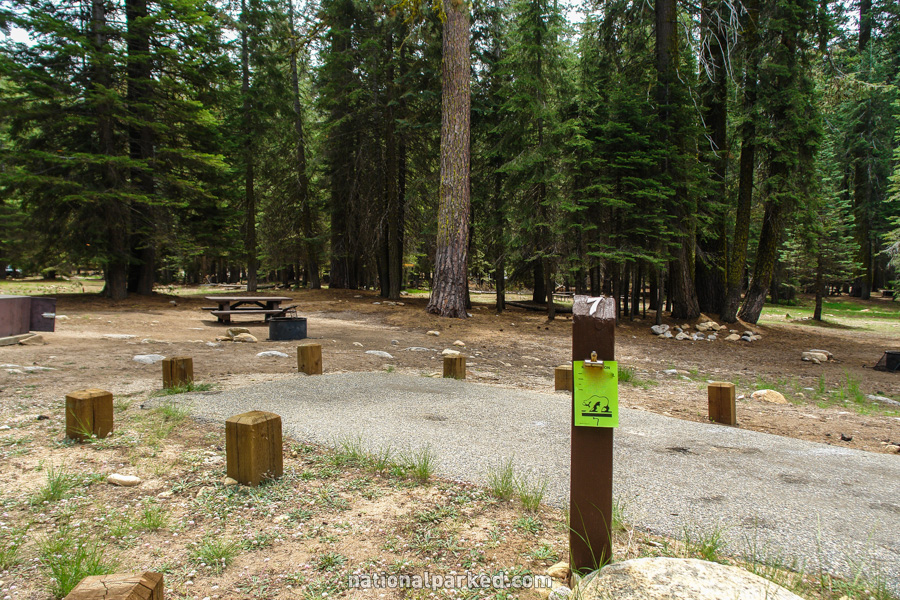
The entrance to the Stony Creek Campground is on the left.
Mile 34.3 – Stony Creek Resort
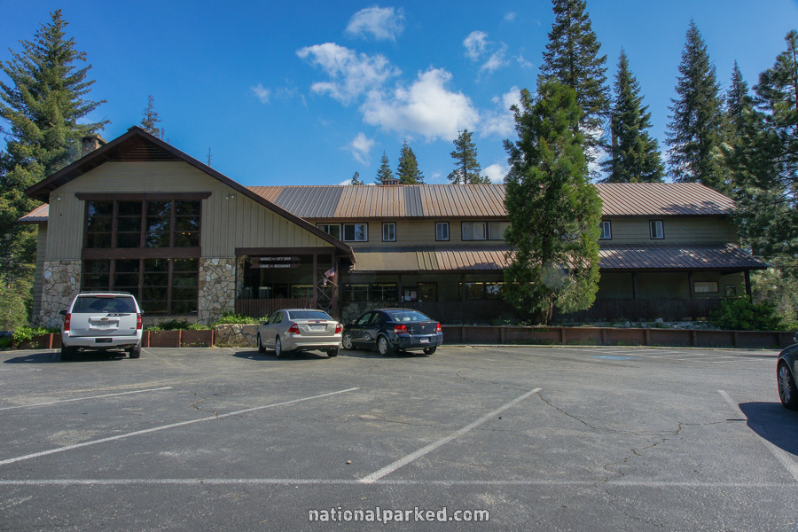
The access road to the Stony Creek Resort is on the left. In addition to lodging, fuel and showers are available here.
Mile 38.1 – Montecito Sequoia Resort
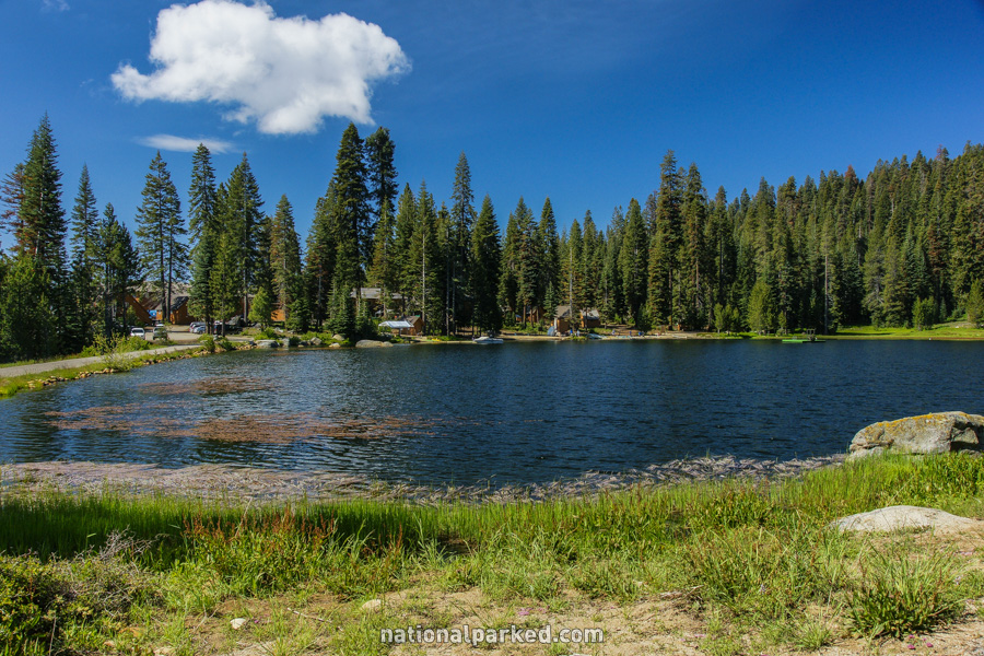
The Montecito Sequoia Resort is on the left.
Mile 39.2 – Big Baldy Trailhead
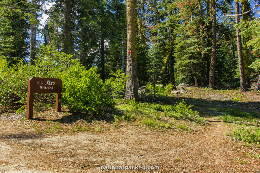
Parking for the Big Baldy Trailhead is on the left.
Mile 41.4 – Kings Canyon Overlook
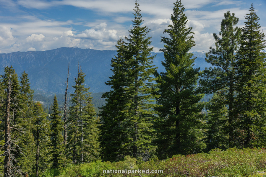
The Kings Canyon Overlook is on the right. Despite the somewhat hazy picture at left, this really is a great vista point, and is the first chance to see the canyon if coming from Sequoia National Park.
Mile 42.3 – Hume Lake Road
The road to Hume Lake and Quail Flat is on the right. This road eventually ends at the Kings Canyon Scenic Drive.
Mile 42.4 – Redwood Canyon Road
The Redwood Canyon Road is on the left. This unpaved road enters Kings Canyon National Park and travels 2 miles to the Redwood Canyon Trail, generally considered one of the most beautiful sequoia groves.
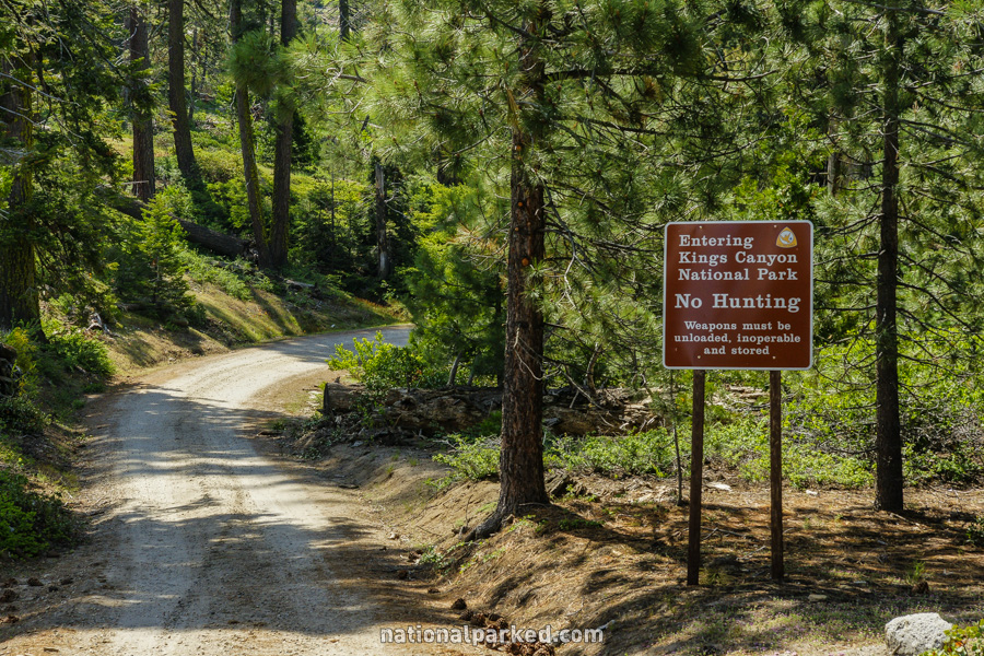
Mile 43.2 – Kings Canyon National Park
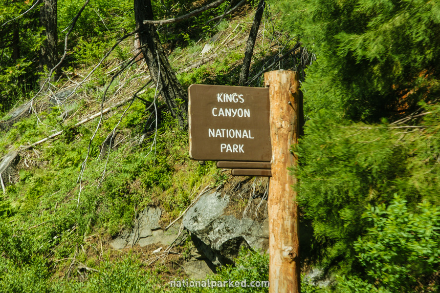
The road leaves Sequoia National Forest and enters Kings Canyon National Park.
Mile 46.0 – Kings Canyon Scenic Drive
The road ends at a T-intersection with CA-180, also known as Kings Canyon Scenic Drive. A left turn leaves the park in 1.8 miles and heads toward Fresno. A right turn goes deeper into Kings Canyon, reaching Road’s End in 36.3 miles.