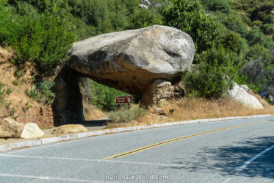
The Roads of Sequoia & Kings Canyon
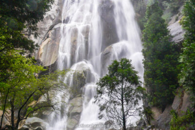
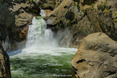
Two main roads provide access to these very large parks. The Generals Highway runs from the Ash Mountain Entrance in the south part of Sequoia to the Kings Canyon Scenic Drive in Kings Canyon, passing through Sequoia National Forest on the way. The Kings Canyon Scenic Drive (CA-180) runs from the Big Stump Entrance of Kings Canyon to its end at an area appropriately known as Road’s End. These roads provide excellent access to some very scenic areas, and of course sequoia groves. However, these parks are mostly backcountry, and vast tracts of both are completely roadless.
Start Point: Mile 0 – Ash Mountain Entrance
End Point: Mile 14.5 – Crystal Cave Road
Start Point: 14.6 – Crystal Cave Road
End Point: Mile 32.7 – Sequoia National Forest boundary
Start Point: Mile 32.8 – Sequoia National Forest boundary
End Point: Mile 46.0 – Road end at Kings Canyon Scenic Drive
Kings Canyon Scenic Drive Part 1
Start Point: Mile 0 – Big Stump Entrance
End Point: Mile 4.6 – Sequoia National Forest boundary
Kings Canyon Scenic Drive Part 2
Start Point: Mile 4.7 – Sequoia National Forest boundary
End Point: Mile 30.7 – Kings Canyon National Park boundary
Kings Canyon Scenic Drive Part 3
Start Point: Mile 30.8 – Kings Canyon National Park boundary
End Point: Mile 38.1 – Roads End