Trail Ridge Road (Part 2)
Trail Ridge Road links the Beaver Meadows Entrance at Estes Park to the Grand Lake Entrance, a distance of 46 miles. Its route tops out above 12,000 feet, making it the highest continuous paved road in the United States. It provides the easiest access to alpine scenery in the national park system. Most of Trail Ridge Road is closed by snow from approximately October to June.
We cover this amazing road in two sections. Part 2 runs from the Alpine Visitor Center to the Grand Lake Entrance. It is covered below. For Part 1, from the Beaver Meadows Entrance to the Alpine Visitor Center, see Trail Ridge Road Part 1.
Mile 22.5 – Medicine Bow Curve
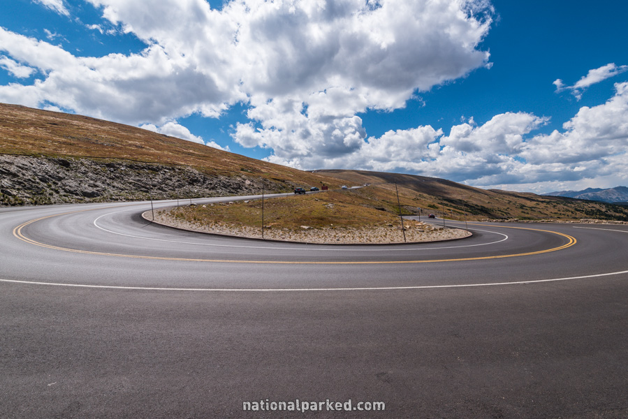
Beyond the Alpine Visitor Center, the road shortly makes a sharp turn to the left. This is known as Medicine Bow Curve, and is the last major viewing point in the alpine tundra section.
Mile 26.3 – Milner Pass
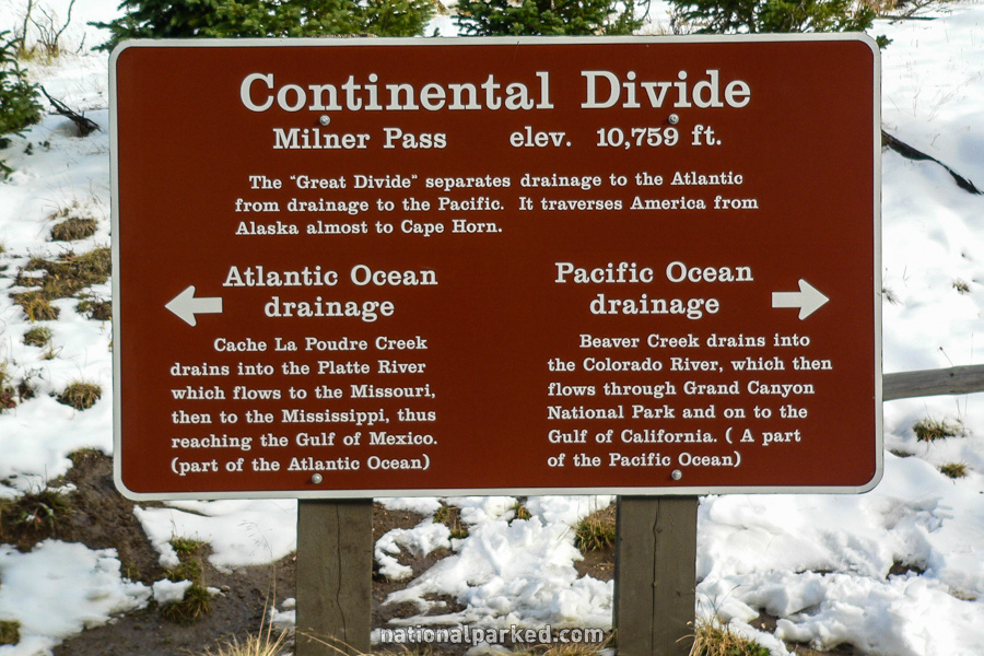
The road passes through Milner Pass and the Continental Divide. Here, at 10,759 feet, is the divide that separates water flowing into the Pacific and Atlantic Oceans. Poudre Lake lies just to the right of the sign shown at left.
Mile 26.9 – Lake Irene Picnic Area
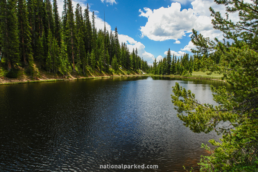
The Lake Irene Picnic Area is on the right. Along with being a good spot for a picnic, there is a brief walk alongside Lake Irene, a beautiful lake on the edge of the woods.
Mile 28.6 – Farview Curve
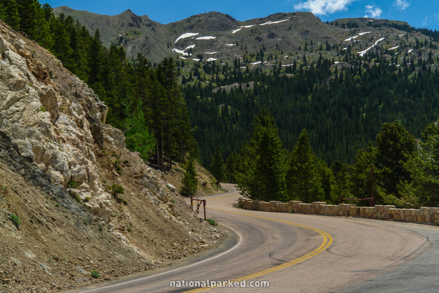
The road winds through Farview Curve. A small parking area provides a chance to stop and take a look at yet another great vista point.
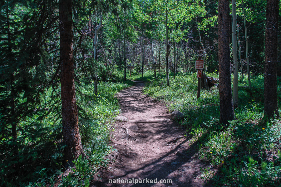
Mile 32.9 – Colorado River Trailhead
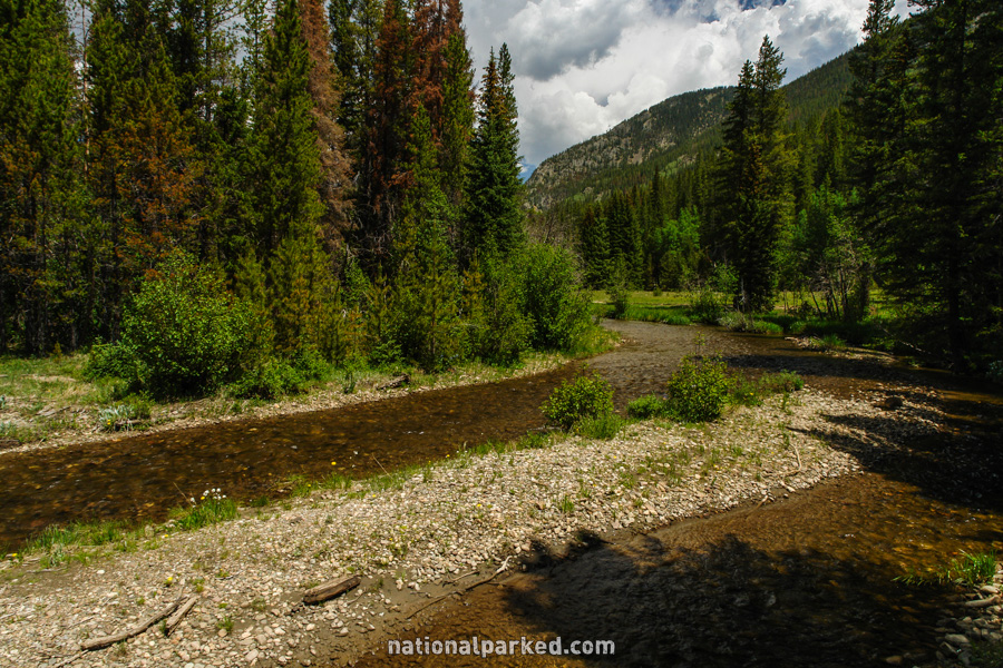
A parking area for the Colorado River Trailhead is on the right. This trail can be used for anything from a short walk along the river to long, overnight backpacking trips. For those familiar with the Colorado River much further down its course in Canyonlands or Grand Canyon National Park it is interesting to see the river’s humble beginnings in the Rockies. The river can also easily be seen from the Coyote Valley Trail, at mile 36.8 below.
Mile 33.0 – Timber Lake Trailhead
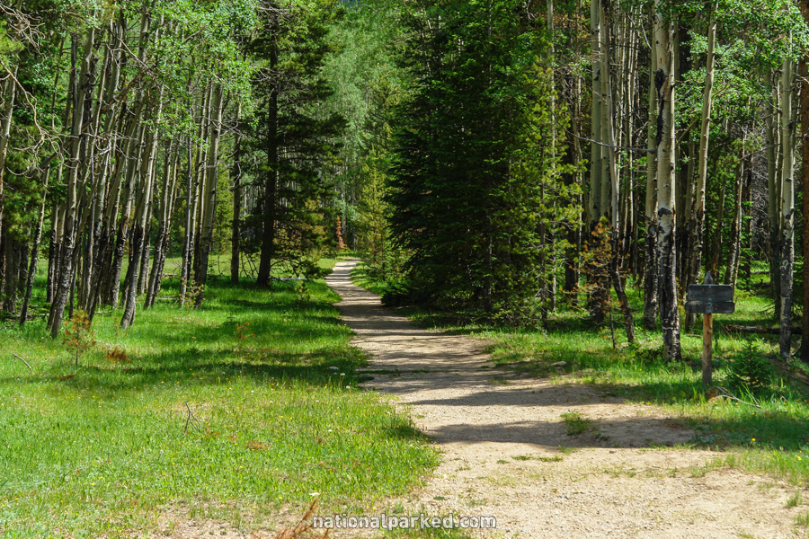
The parking area for the Timber Lake Trailhead is on the left. This moderately difficult trail ascends more than 2,000 feet in 4.8 miles to Timber Lake.
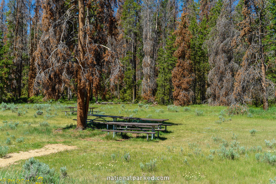
Mile 33.8 – Beaver Ponds Picnic Area
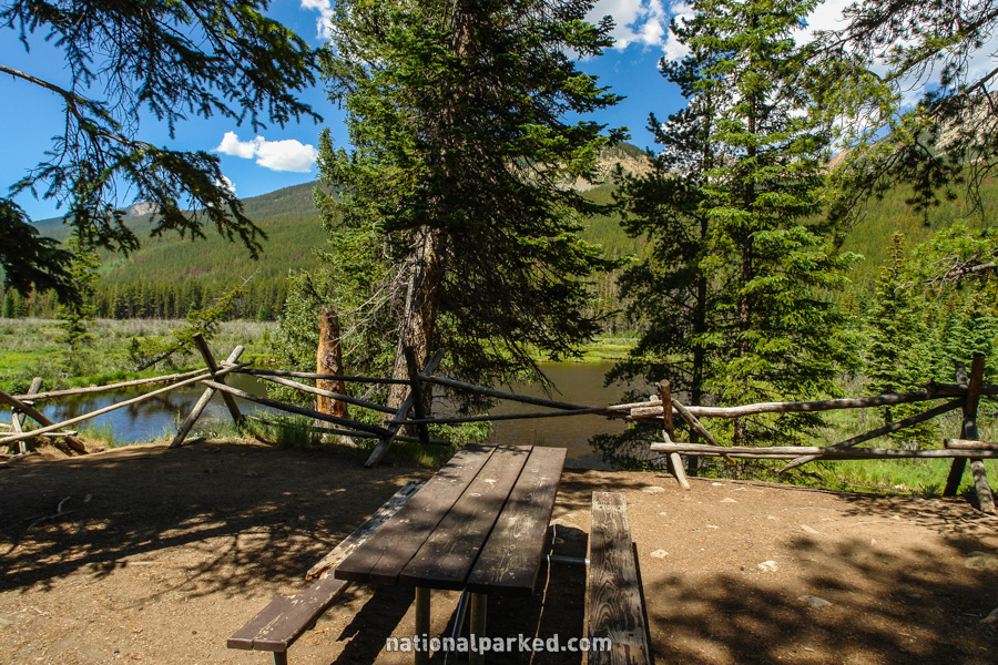
The Beaver Ponds Picnic Area is on the right.
Mile 34.4 – Timber Creek Campground

The road passes by the entrance to Timber Creek Campground. This is the park’s only campground on the west side of the park. Note that as of 2009, virtually all trees have been cleared from the campground as a result of pine beetle infestation. It is now more like an open field.
Mile 34.9 – Holzwarth Historic Site
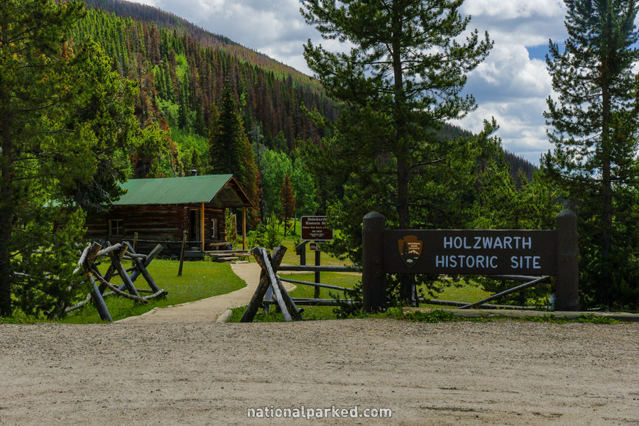
Access to the Holzwarth Historic Site is on the right. This is an old dude ranch from the 1920s and several buildings are open for viewing.
Mile 36.8 – Coyote Valley Trailhead
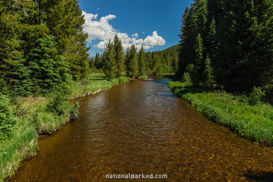
A small parking area for the Coyote Valley Trail is on the right. This short trail crosses the Colorado River near the beginning, offering a shorter, easier way than the Colorado River Trail to see this famous river early in its life.
Mile 39.8 – Green Mountain Trailhead
Parking for the Green Mountain Trailhead is on the left.
Mile 41.7 – Harbison Picnic Area
The Harbison Picnic Area is on the right. This is in an open, sunny meadow, bounded on one side by Trail Ridge Road and by forest on the other.
Mile 42.9 – Kawuneeche Visitor Center
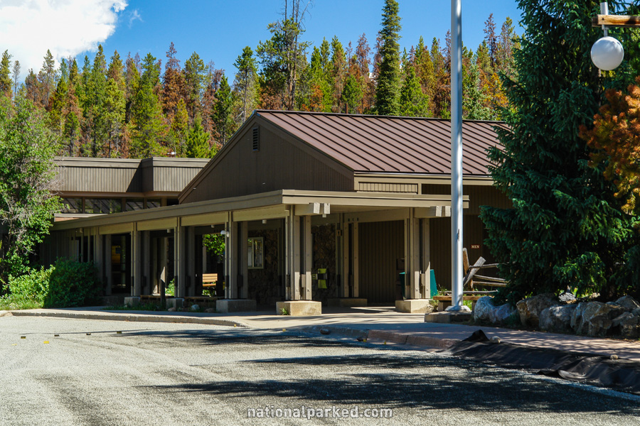
The Kawuneeche Visitor Center is on the left. This is your last (or first) chance to get information on the park.
Mile 43.6 – Grand Lake Entrance
The road leaves the park at the Grand Lake Entrance Sign.