Trail Ridge Road (Part 1)
Trail Ridge Road links the Beaver Meadows Entrance at Estes Park to the Grand Lake Entrance, a distance of 46 miles. Its route tops out above 12,000 feet, making it the highest continuous paved road in the United States. It provides the easiest access to alpine scenery in the national park system. Most of Trail Ridge Road is closed by snow from approximately October to June.
We cover this amazing road in two sections. Part 1 runs from the Beaver Meadows Entrance to the Alpine Visitor Center. It is covered below. For Part 2, from the Alpine Visitor Center to the Grand Lake Entrance, see Trail Ridge Road Part 2.
Mile 0 – Beaver Meadows Entrance
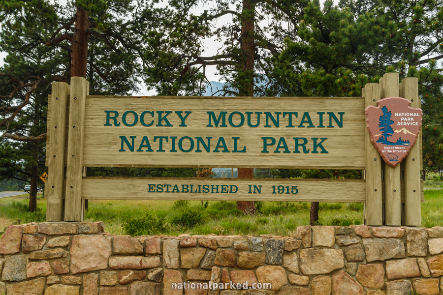
The entrance sign welcomes you to Rocky Mountain National Park.
Mile 0.3 – Beaver Meadows Visitor Center
The road passes by the Beaver Meadows Visitor Center. Anyone new to the park should stop here for current information and an orientation.
Mile 1.5 – Entrance Station
The road passes through the Beaver Meadows Entrance Station. The park entrance fee must be paid or a valid pass shown.
Mile 1.8 – Bear Lake Road
Bear Lake Road is on the left. This road gives access to Moraine Park and Glacier Basin Campgrounds, as well as the Glacier Gorge trailhead area and of course Bear Lake.
Mile 2.3 – Upper Beaver Meadows
A dirt road leads to the Upper Beaver Meadows area, a good place for spotting wildlife.
Mile 4.7 – Fall River Road
Fall River Road is on the right. This road gives access to Old Fall River Road before leaving the park at the Fall River Entrance.
Mile 7.2 – Hidden Valley Picnic Area
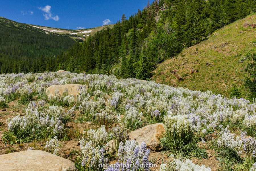
The road passes by the Hidden Valley Picnic Area. In addition to the picnic area, this is a great place for wildflowers.
Mile 8.6 – Many Parks Curve
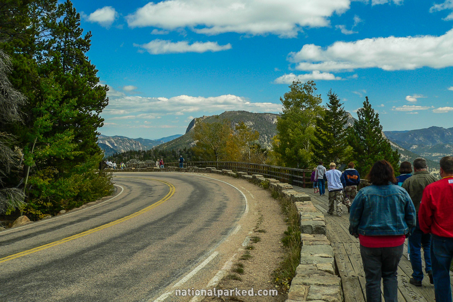
The road arrives at the first major viewing area, Many Parks Curve. A “park” is a large, open meadow area. Several can be seen from this vantage point, hence the name.
Mile 12.2 – Two mile elevation
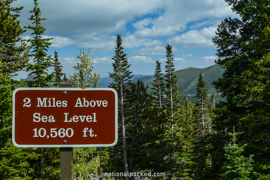
Trail Ridge Road reaches 10,560 feet (2 miles) in elevation, as it continues the climb upward.
Mile 12.8 – Rainbow Curve
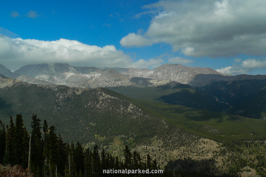
The road goes by another major viewing area, Rainbow Curve. Along with being a great vista point, this is also the spot at which Trail Ridge Road is often closed during periods of snow and ice.
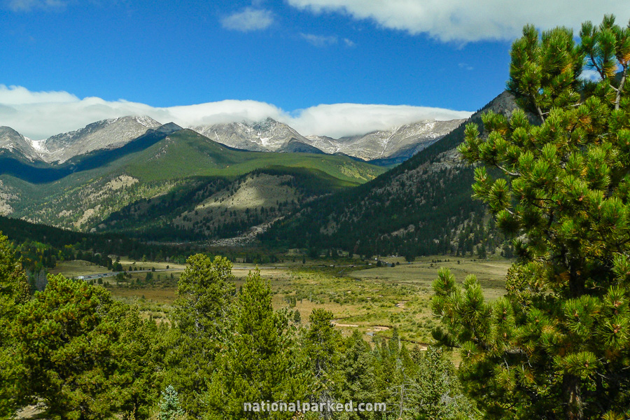
Mile 15.8 – Forest Canyon Overlook
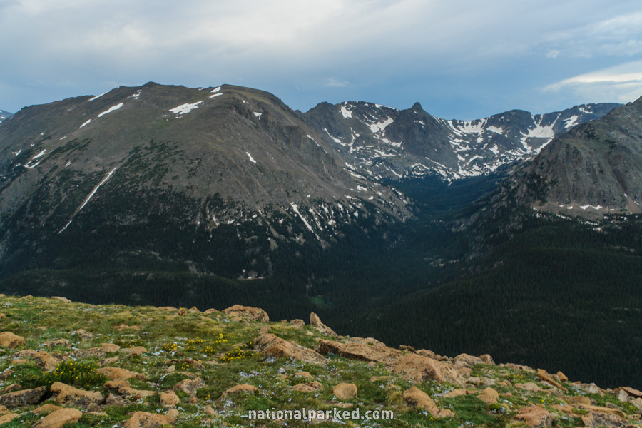
A small parking area for the Forest Canyon Overlook is on the left. A short path leads to the overlook.
Mile 17.9 – Tundra Communities Trail
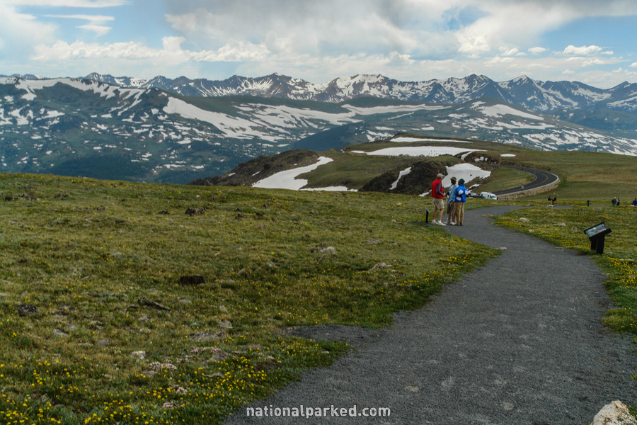
The road passes through an area known as Rock Cut. The Tundra Communities Trail starts from the roadside parking area on the right just past the cut. Other than the 11,000 foot elevation and the almost always cold wind, this is an easy walk into the tundra, and is highly recommended for anyone who can handle the very thin air. Please stay on the trail at all times, as it can take decades for plants to recover in this environment.
Mile 20.0 – Lava Cliffs Overlook
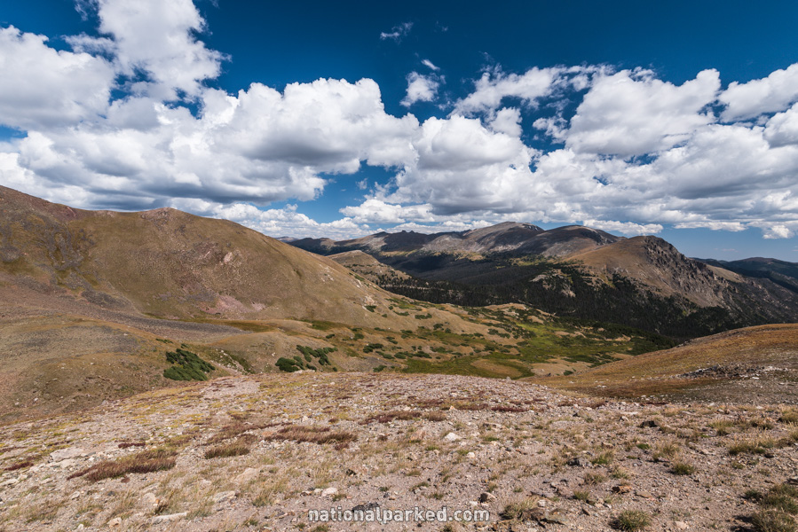
The road passes by the Lava Cliffs Overlook. This is one of the more scenic of the high alpine overlooks along the road.
Mile 21.0 – Gore Range Overlook
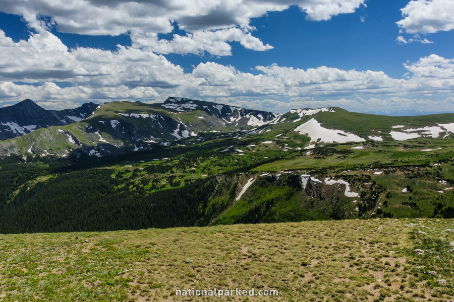
The road goes by another overlook, this one of the Gore Range. This is another stunning vista of the alpine tundra.
Mile 22.0 – Alpine Visitor Center
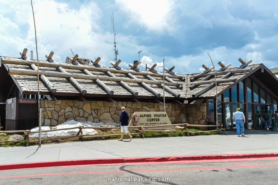
The road arrives at the Alpine Visitor Center, located at an elevation of 11,796 feet. There is a large gift shop here, as well as a small food and coffee shop. The Old Fall River Road ends its steep climb at the parking area as well.
Trail Ridge Road Continues On
For Part 2, from the Alpine Visitor Center to the Grand Lake Entrance, see Trail Ridge Road Part 2.