- This page contains affiliate links. Purchases made through them may earn us a small fee.
Getting to Rocky Mountain National Park
Driving to Rocky Mountain
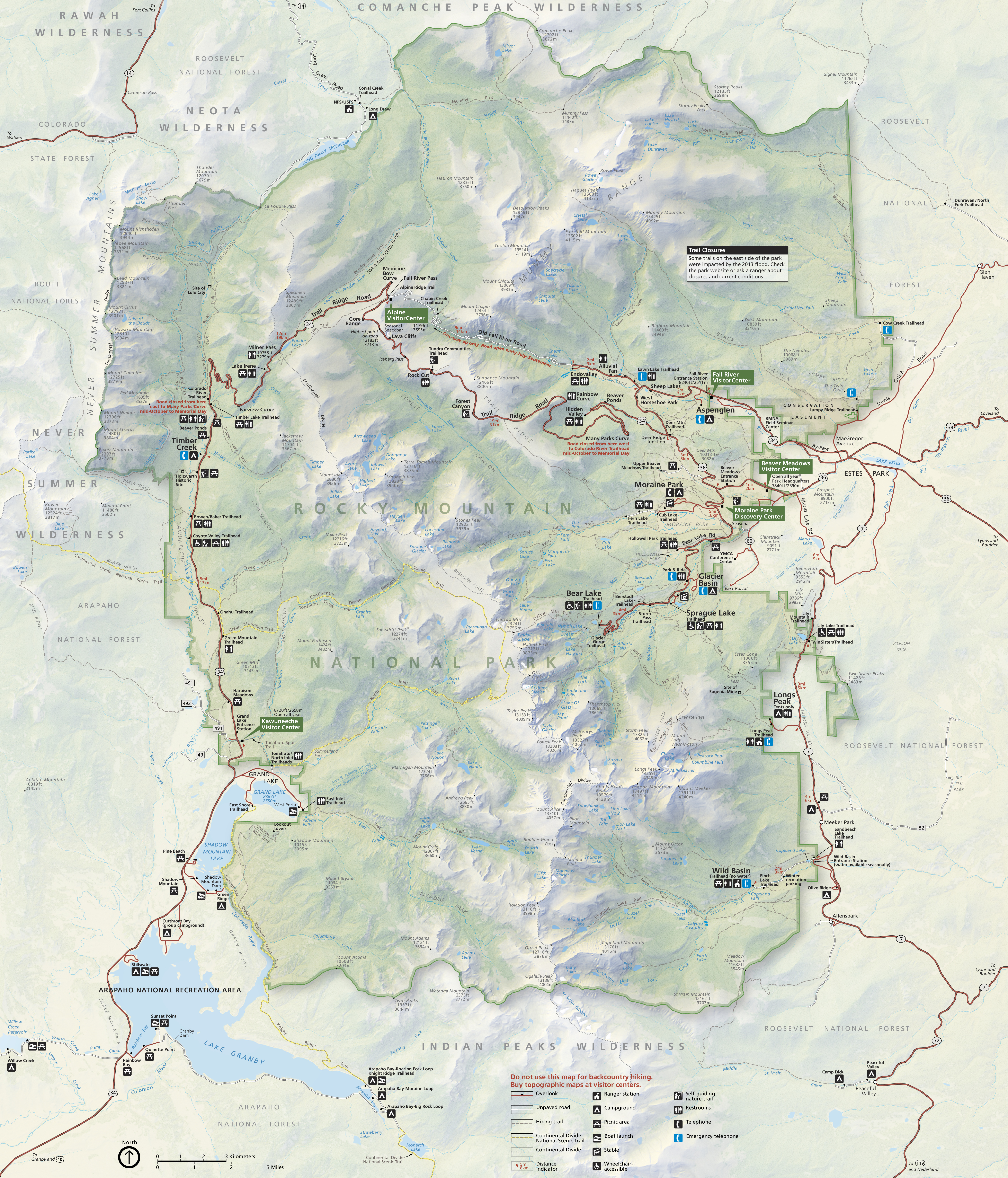
Trail Ridge Road is the main route through the park. It can be reached from the east via US-34 or US-36. From the west or south, take US-40 from I-70 to US-34 through Grand Lake into the park. CO-7 also runs north and south along the park’s east side. It provides access to the Longs Peak and Wild Basin areas, and enters the town of Estes Park at its northern end.
If you’d like to plot directions from your location use the interactive map below. The marker shows the location of the Fall River Visitor Center in Rocky Mountain National Park.
Flying to Rocky Mountain
Below you will find a list of airports most convenient for a trip to Rocky Mountain, listed in order of distance. For each airport we provide direct links to browse available flights and cars. For price searches, simply enter your origin and dates.
Denver International Airport (DEN)
Located well east of Denver, Colorado, 76 miles by car to Beaver Meadows entrance
Denver flight schedule and price search
Denver available rental cars and price search
Colorado Springs Municipal Airport (COS)
Located in Colorado Springs, Colorado, 150 miles by car to Beaver Meadows entrance
Colorado Springs flight schedule and price search
Colorado Springs available rental cars and price search
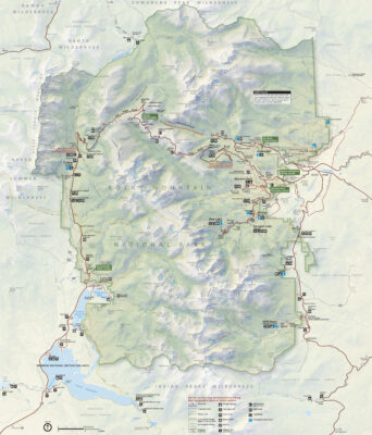
Official Park Map
Below is the official park map provided by the National Park Service. You can view either the original PDF file or a simple JPEG image file (some of these files can be quite large). Note that while this map is useful for general navigation around the park, if you plan to do any hiking, you should really have a proper Rocky Mountain Trail Map.