Lassen Park Highway (Part 2)
The Lassen Park Highway in Lassen Volcanic is accessed from the south off of CA-36, 45 miles east of Red Bluff, or from the north off of CA-44, 50 miles east of Redding. We cover this road in two sections. Part 2 runs from the Kings Creek Trailhead to the Southwest Entrance. It is covered below. For Part 1, from the Manzanita Lake Entrance to the Kings Creek Trailhead, see Lassen Park Highway Part 1.
Mile 17.9 – Kings Creek Picnic Area
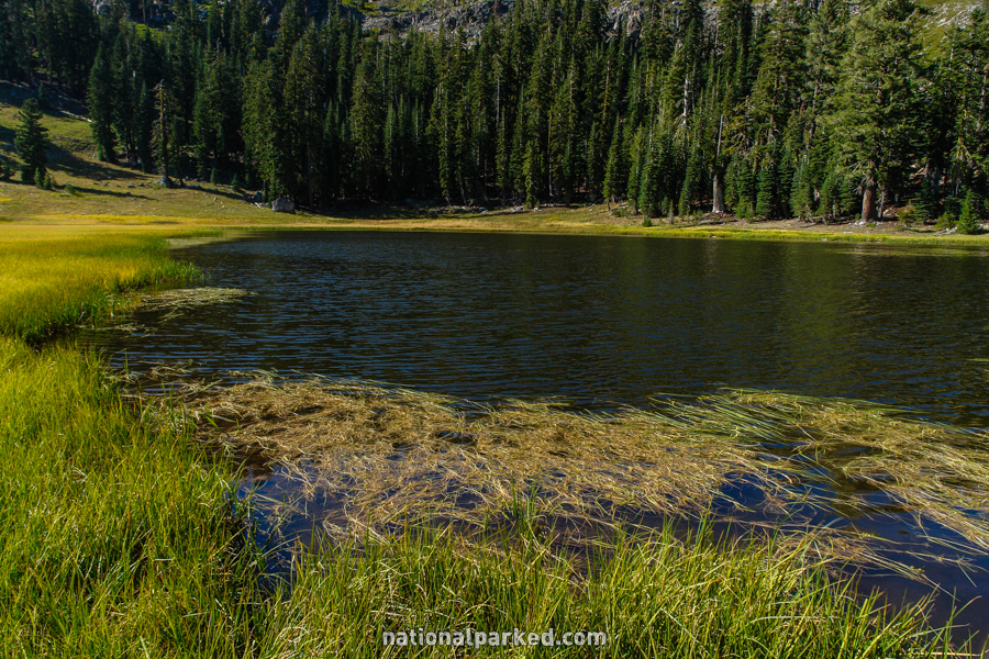
The road continues on from the Kings Creek Trailhead area and passes by the access road for the Kings Creek Picnic Area. There is a trailhead here as well, which leads to the unusual Cold Boiling Lake (at left), and on to Crumbaugh Lake.
Mile 20.3 – Terrace & Shadow Lakes Trailhead
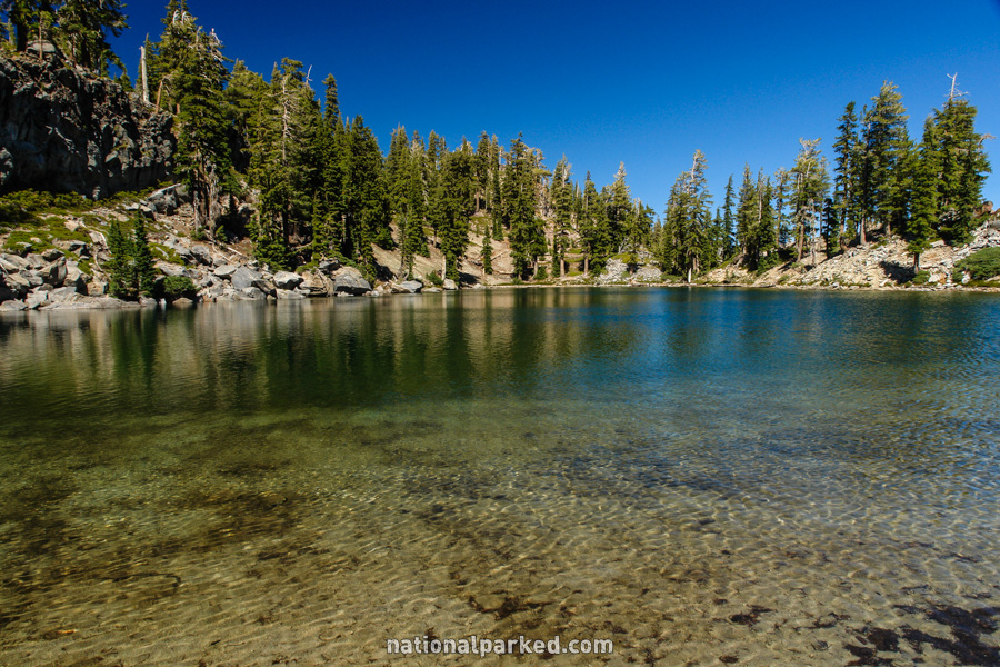
Limited parking for the Terrace & Shadow Lake Trailhead is on the side of the road. This is a short, but steep hike to Terrace Lake (at left), and then on to Shadow Lake. It is less than one mile to Shadow Lake, but it is a drop of almost 500 feet.
Mile 22.2 – Lassen Peak parking area
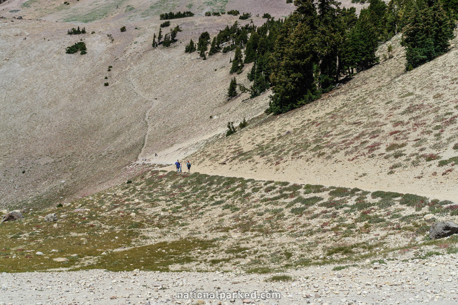
The road arrives at the Lassen Peak parking area. This is the beginning of the very popular, and steep, Lassen Peak Trail. There is also a snack bar and gift shop here, dubbed “Peak Necessities”.
Mile 23.0 – Lake Helen
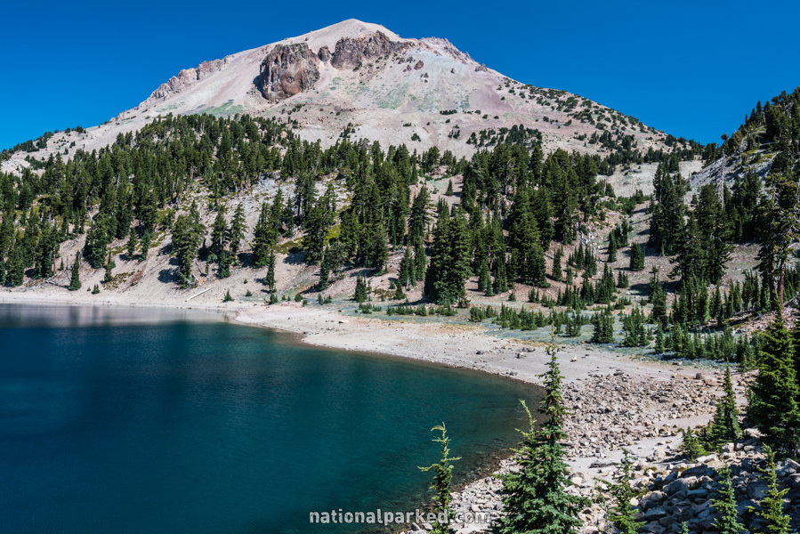
There is space for a few cars to park on the shore of Lake Helen. This lake lies beneath Lassen Peak and is very scenic.
Mile 23.4 – Bumpass Hell Trailhead
The parking area for the Bumpass Hell Trailhead is on the right. This trail is often not free of snow until July or even August at times. It leads to the premiere thermal area in the main section of the park. The bizarre name comes from a man named Kendall Vanhook Bumpass, who severely burned a leg here in the 1860s.
Mile 23.7 – Emerald Lake
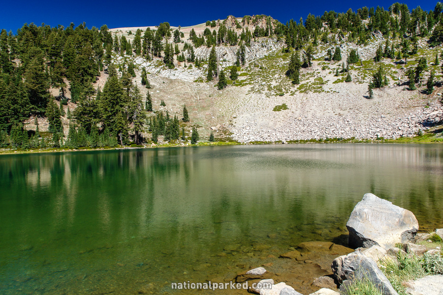
The road passes by Emerald Lake, another of Lassen’s countless small, beautiful lakes.
Mile 27.5 – Brokeoff Mountain
There is a small pulloff with a sign pointing to Brokeoff Mountain. This mountain is what is known as a “remnant”, a leftover of the old volcano of the area, Mount Tehama. At 9,235 feet it is the second highest point in the park after Lassen Peak itself.
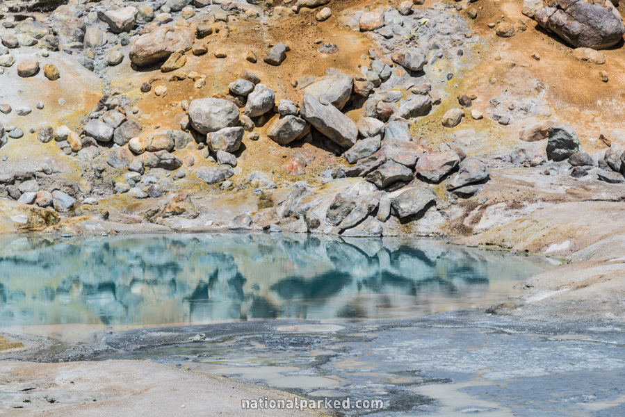
Mile 28.2 – Sulphur Works
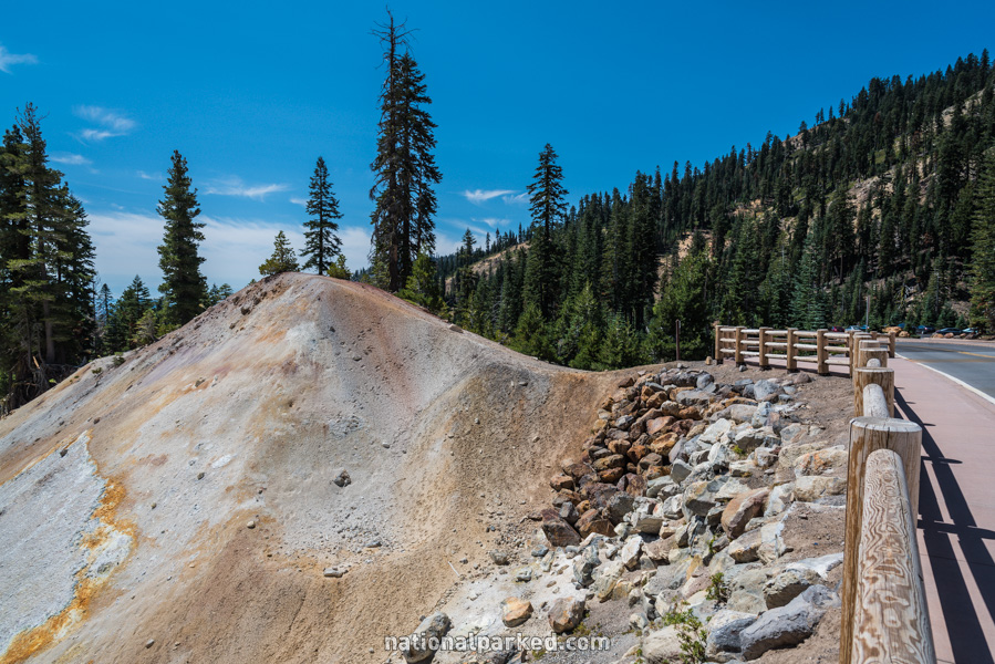
The parking area for the Sulphur Works is on the right. This area used to be a self guiding trail on mostly boardwalks, but seismic activity destroyed it. It was removed, and now the views are limited to along the road, which are still impressive. There is also a hike beginning here to Ridge Lakes.
Mile 29.1 – Kohm Yah-mah-nee Visitor Center
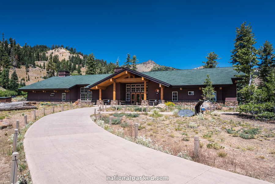
The park’s visitor center is on the left. This facility is open all year.
Mile 29.3 – Southwest Entrance Station
The road passes through the Southwest Entrance Station.
Mile 29.6 – Brokeoff Mountain Trailhead
The parking area for the Brokeoff Mountain Trailhead is on the roadside.
Mile 30.1 – Park Boundary
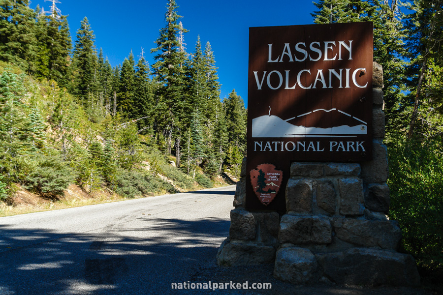
The road leaves the park at the Southwest Entrance Sign.