- This page contains affiliate links. Purchases made through them may earn us a small fee.
Getting to Lassen Volcanic National Park
Driving to Lassen Volcanic
The main park road in Lassen can be accessed from the south off of CA-36, 45 miles east of Red Bluff, or from the north off of CA-44, 50 miles east of Redding. Unpaved access roads to Warner Valley and Juniper Lake are reached out of the city of Chester.
If you’d like to plot directions from your location use the interactive map below. The marker shows the location of the Kohm Yah-mah-nee Visitor Center in Lassen Volcanic.
Flying to Lassen Volcanic
Below you will find a list of airports most convenient for a trip to Lassen Volcanic, listed in order of distance. For each airport we provide direct links to browse available flights and cars. For price searches, simply enter your origin and dates.
Reno-Tahoe International Airport (RNO)
Located in Reno, Nevada, 154 miles by car to Lassen Volcanic
Reno flight schedule and price search
Reno available rental cars and price search
Sacramento International Airport (SMF)
Located in Sacramento, California, 185 miles by car to Lassen Volcanic
Sacramento flight schedule and price search
Sacramento available rental cars and price search
Rogue Valley International-Medford Airport (MFR)
Located in Medford, Oregon, 186 miles by car to Lassen Volcanic
Medford flight schedule and price search
Medford available rental cars and price search
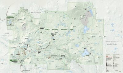
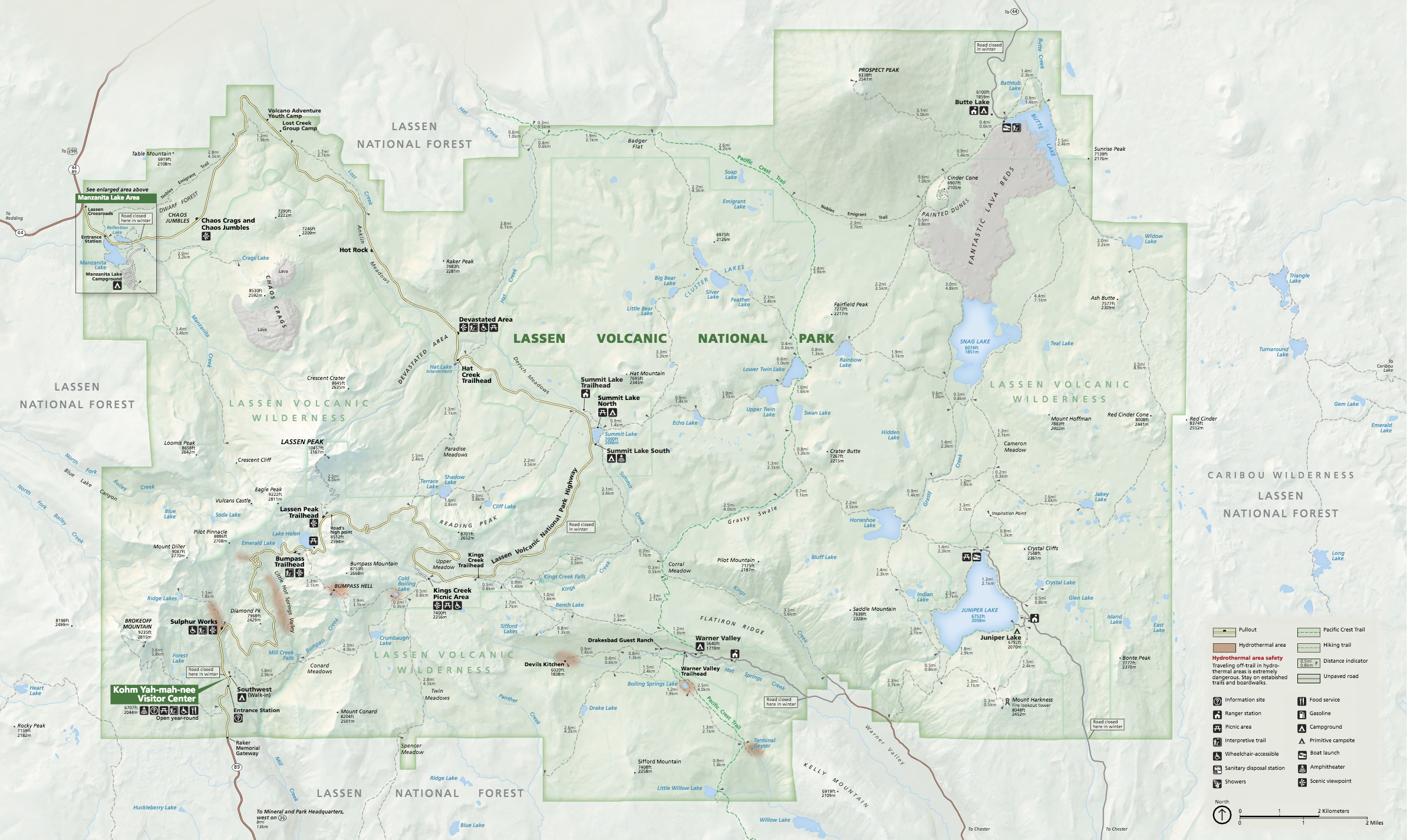
Official Park Map
Below is the official park map provided by the National Park Service. You can view either the original PDF file or a simple JPEG image file (some of these files can be quite large). Note that while this map is useful for general navigation around the park, if you plan to do any hiking, you should really have a proper Lassen Volcanic Trail Map.