Lassen Park Highway (Part 1)
The Lassen Park Highway in Lassen Volcanic is accessed from the south off of CA-36, 45 miles east of Red Bluff, or from the north off of CA-44, 50 miles east of Redding. We cover this road in two sections. Part 1 runs from the Manzanita Lake Entrance to the Kings Creek Trailhead. It is covered below. For Part 2, from the Kings Creek Trailhead to the Southwest Entrance, see Lassen Park Highway Part 2.
Mile 0 – Manzanita Lake Entrance
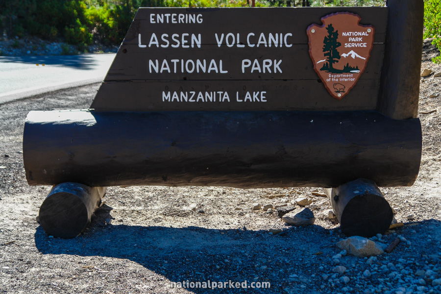
Just after turning off CA-44, the entrance sign welcomes you to the northern entrance at Manzanita Lake. 0.6 miles beyond this point the road passes through the entrance station. The park entrance fee must be paid or a valid pass shown.
Mile 1.1 – Manzanita Lake Visitor Center
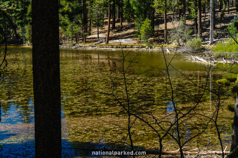
The Manzanita Lake Visitor Center and the Loomis Museum are on the right. The Lily Pond Trail, a short nature walk around the pond, is across the street, as is Reflection Lake, shown at left.
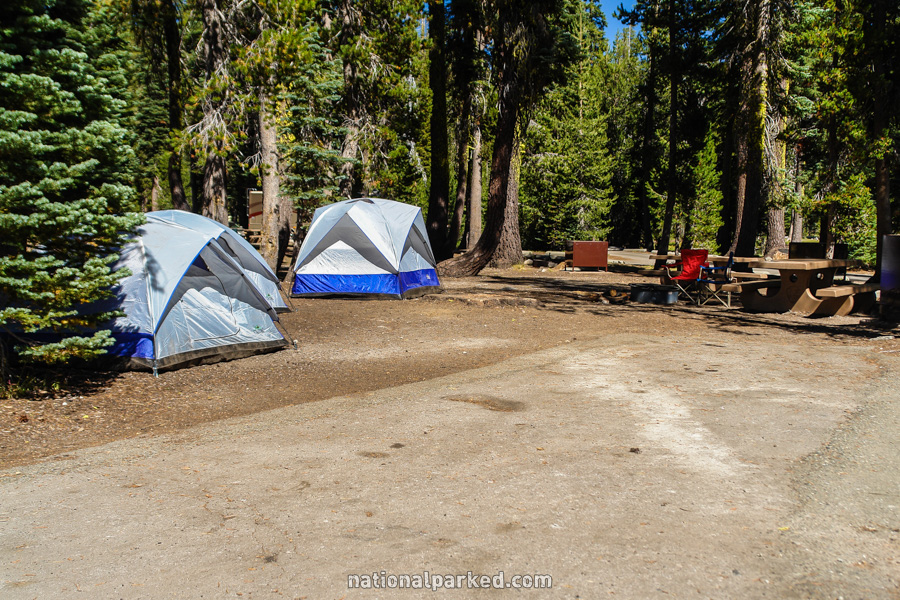
Mile 1.2 – Manzanita Lake Campground
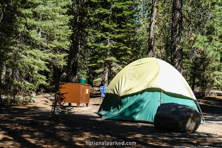
The access road to Manzanita Lake Campground is on the right. A general store and fuel are available as well. See Lassen Volcanic Camping for more information.
Mile 5.4 – Lost Creek Group Campground
The road passes the Lost Creek Group Campground. Reservations are required in advance to enter.
Mile 10.1 – Devastated Area
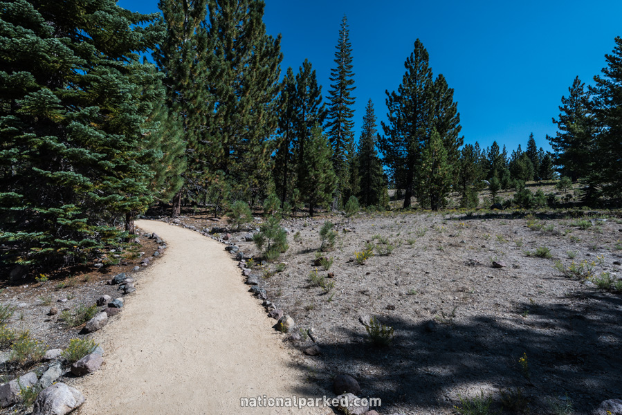
The parking area for the Devastated Area Interpretive Trail is on the right. This area was destroyed by Lassen’s eruptions that lasted from 1914 to 1917, and is slowly recovering.
Mile 10.6 – Hat Lake
The road bends around Hat Lake, a small, shallow lake.
Mile 10.7 – Paradise Meadow Trailhead
The road goes by the parking area for the Paradise Meadow Trailhead. This is a 1.5 mile hike one-way through one of Lassen’s largest and nicest meadows.
Mile 13.0 – Summit Lake Ranger Station
The road passes by the Summit Lake Ranger Station. The Summit Lake Trail is here for the easy hike around the lake. The path leads from the ranger station to the lake and then loops around it, a distance of under two miles.
Mile 13.3 – Summit Lake North Campground
The Summit Lake North Campground is on the left. This is the first of two campgrounds near the shore of Summit Lake. The second, Summit Lake South, is only 0.2 miles beyond this.
Mile 16.8 – Kings Creek Falls Trailhead
The road passes by the area for the Kings Creek Falls Trailhead. This popular trail leads to one of the park’s most scenic features.
The Lassen Park Highway Continues On
For Part 2, from the Kings Creek Trailhead to the Southwest Entrance, see Lassen Park Highway Part 2.