Hiking Trails in Lassen Volcanic
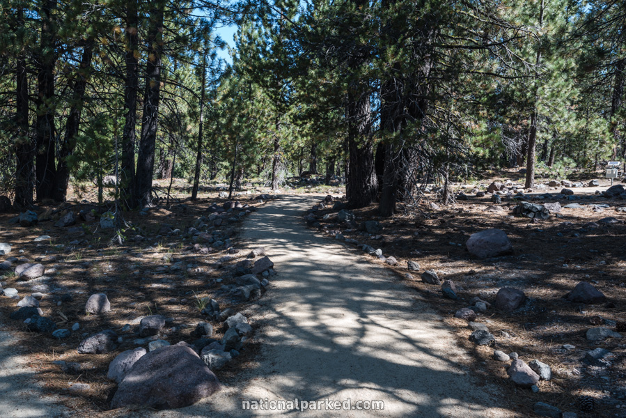
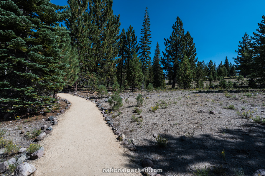
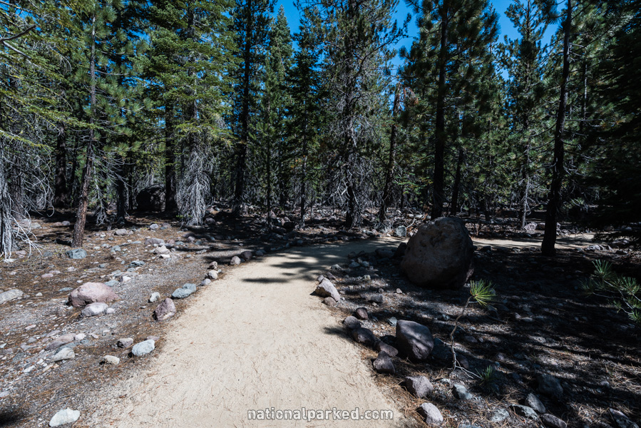
Hike Hikes in Lassen Volcanic lead to a wide variety of destinations, including lakes, thermal areas, waterfalls, and mountain peaks. Most of them are at high altitude, so even moderate hikes can be difficult. Due to the heavy snow, the hiking season is quite short, usually late June to late September. Some trails may not be snow free until August, if ever, in years of heavy snow.
Hiking distances given below are total, roundtrip distances unless otherwise stated. Difficulties are only a general guideline, for an adult in good condition, and do not take into account trail length. We strongly recommend you also have a good Lassen Volcanic Trail Map with you.
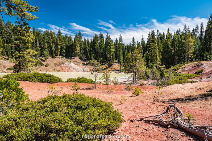
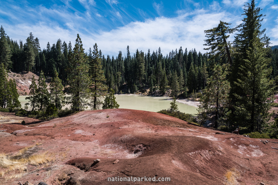
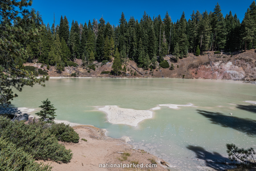
Boiling Springs Lake
The Hike: At the trail intersections, follow the metal signs toward Boiling Springs Lake. The “lake” itself is a massive, milky green hot spring. The trail circles around it. Heed the warning signs and stay away from the edge. A fall into the water could easily be fatal.
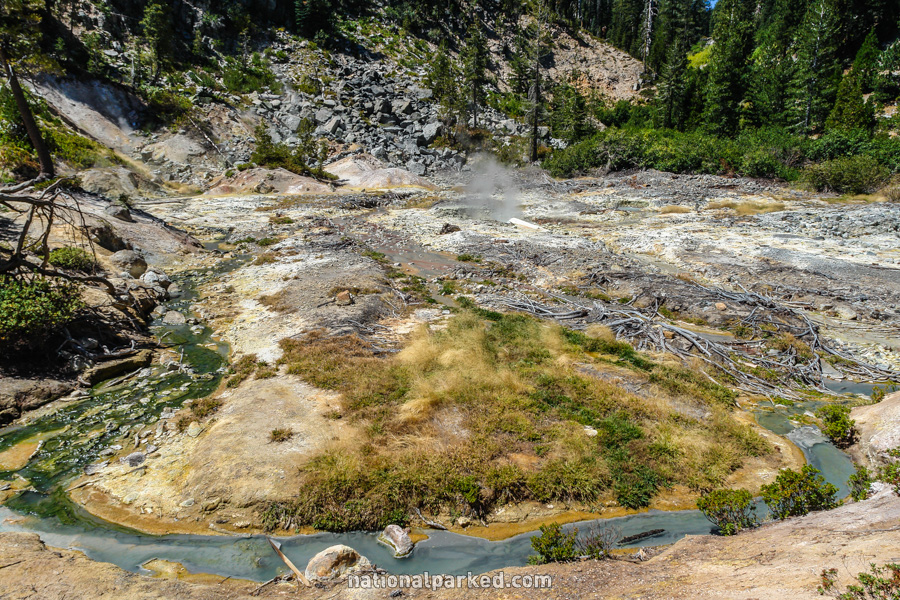
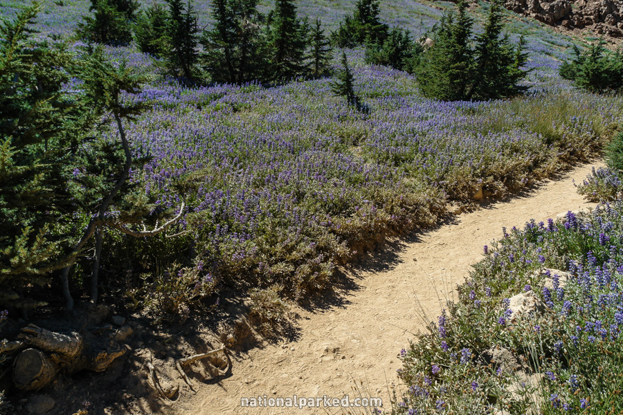
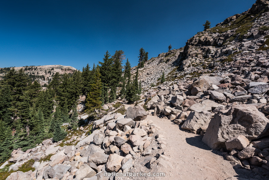
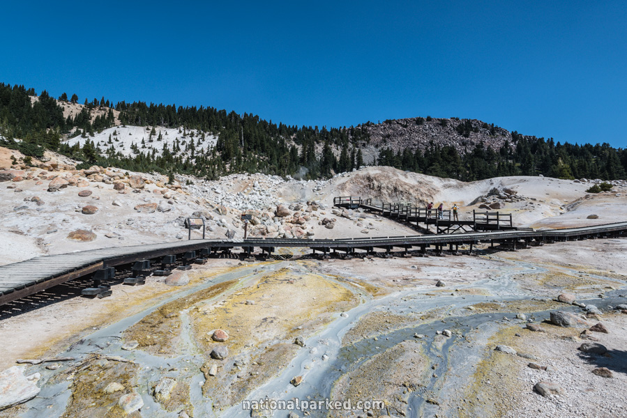
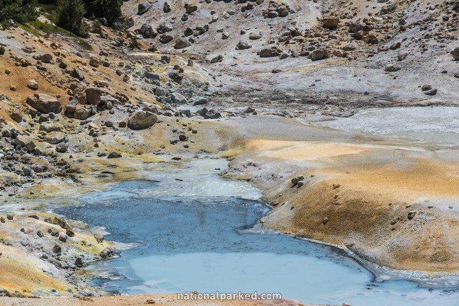
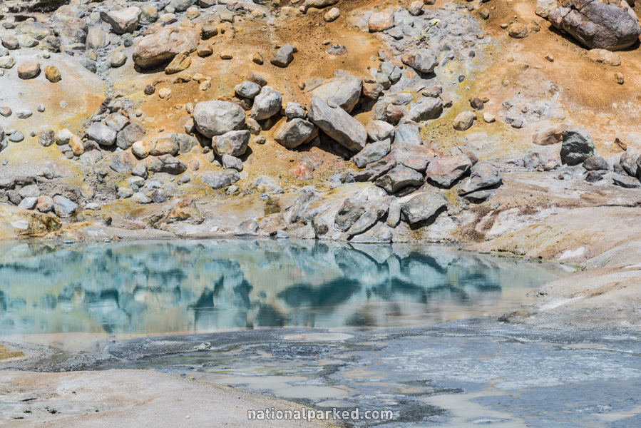
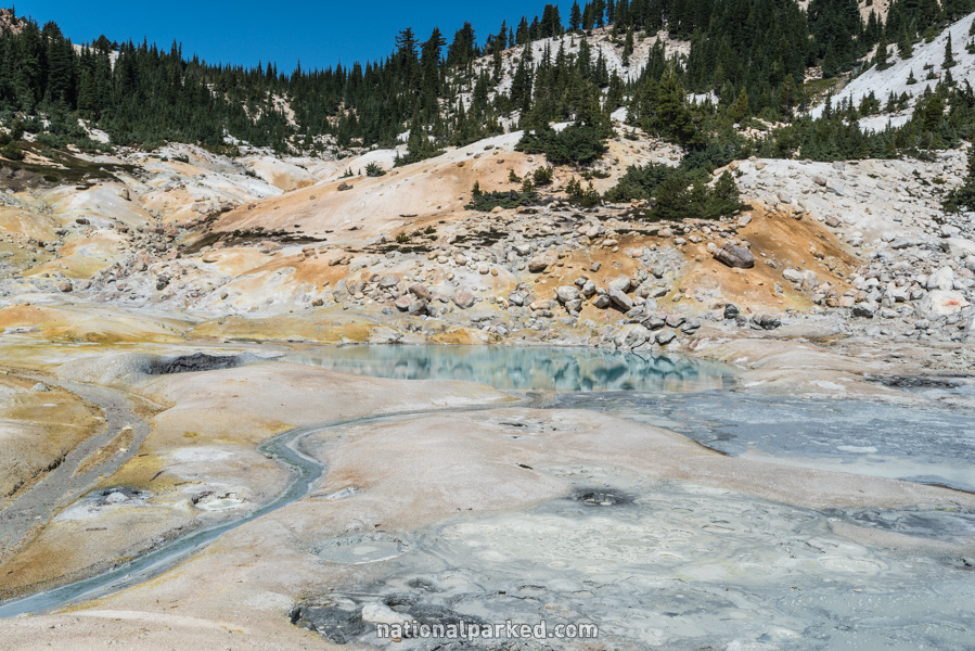
Bumpass Hell
The Hike: This trailhead is just south of the also popular Lassen Peak area, and Lake Helen can be seen from an early point along the trail. The entire trail is a very scenic walk into the Lassen backcountry. You won’t be alone, however. With the possible exception of the hike up Lassen Peak, this is the most heavily used trail in the park. The trail descends steeply at the end to the Bumpass Hell thermal area. Boardwalks lead around to the various features. Some of the boardwalk sections have recently closed due to unstable ground, but it remains a must-do hike.
Devastated Area
The Hike: This easy, flat nature trail loops around a small section of the Devastated Area. Displays placed along the way explain various features of this area, flattened by the eruptions of Mount Lassen between 1914 and 1917. Excellent views of Lassen itself can be seen all along the trail as well.
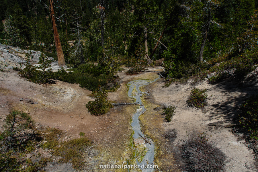
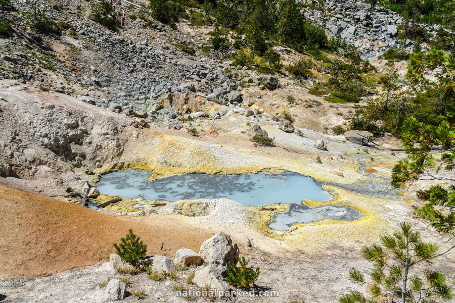
Devil’s Kitchen
The Hike: The trail leads over a creek and through some woods, and reaches an intersection with the Dream Lake side trail. At only a few hundred feet, it is very worth taking the detour. The trail then leads through a meadow, then climbs moderately through the woods all the way to Devil’s Kitchen, where it drops down into the thermal area. This is Lassen’s best thermal area, in our opinion.