Desert View Drive
Desert View Drive is the park owned part of AZ-64, running from the eastern entrance to the Grand Canyon Village area. It is the main scenic drive that can be done by private vehicles, and passes a large number of overlooks and other points of interest.
Mile 0 – Desert View Entrance
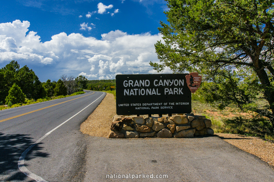
As Arizona Highway 64 crosses the park boundary, the entrance sign welcomes you to Grand Canyon National Park.
Mile 2.8 – Desert View Entrance Station
The road passes through the Desert View Entrance Station. The park entrance fee must be paid or a valid pass shown.
Mile 3.0 – Desert View area
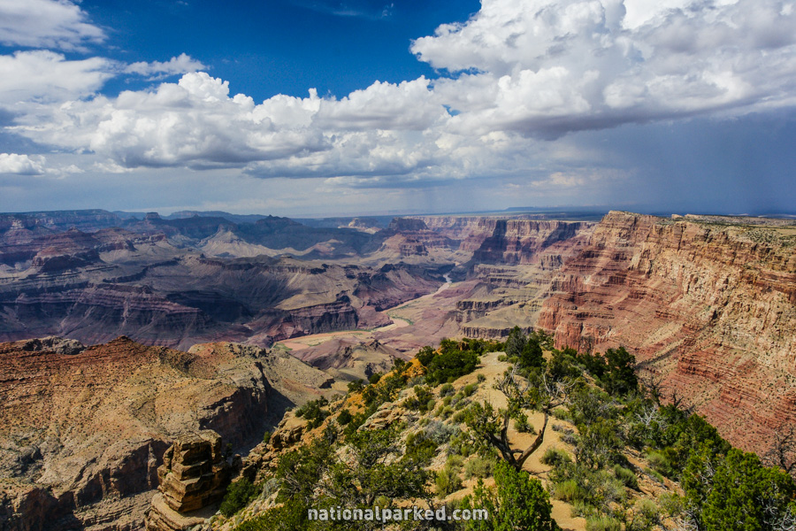
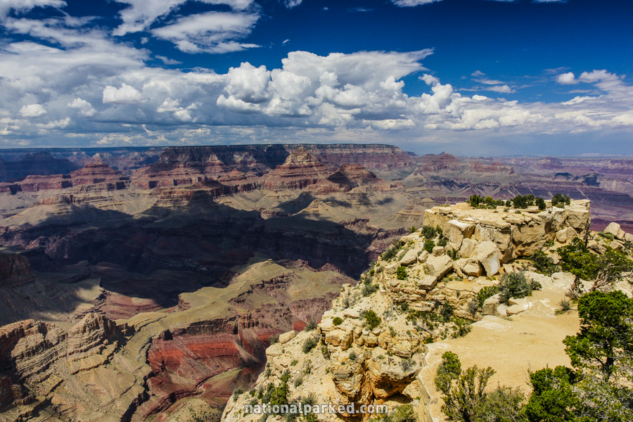
The Desert View area is on the right. This area has a wide variety of services, including shops, food, fuel, and the Desert View Campground. Of course, there is also the viewpoint Desert View itself, which happens to be one of the best places to view the Colorado River running through the canyon.
Mile 3.6 – Navajo Point
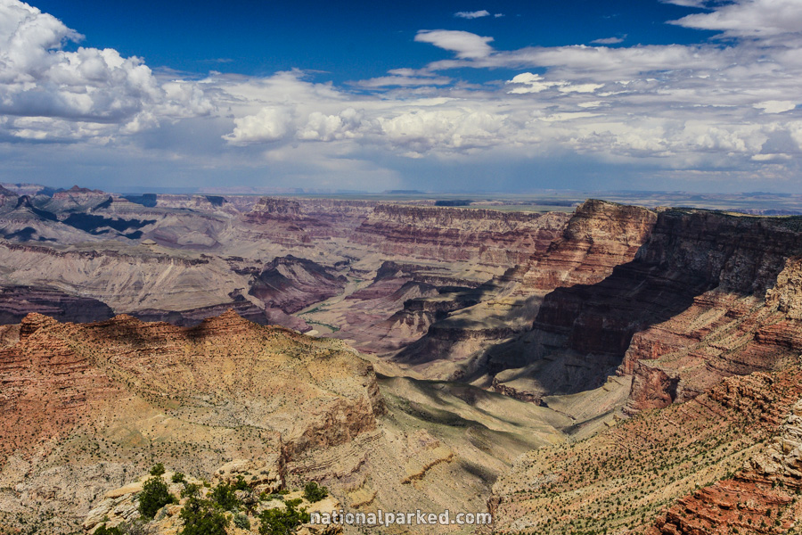
The road passes by parking for Navajo Point on the right. This is the highest viewpoint on the South Rim, at 7,461 feet.
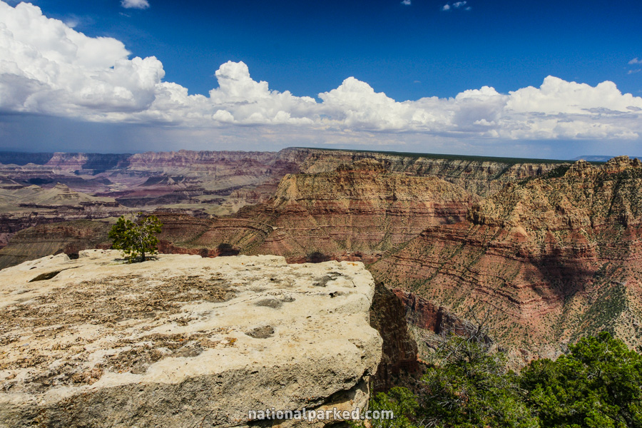
Mile 4.8 – Lipan Point
The next viewpoint of the canyon is Lipan Point. This viewpoint, formerly named Lincoln Point for Abraham Lincoln, offers good views of the Colorado River.
Mile 6.1 – Tusayan Museum
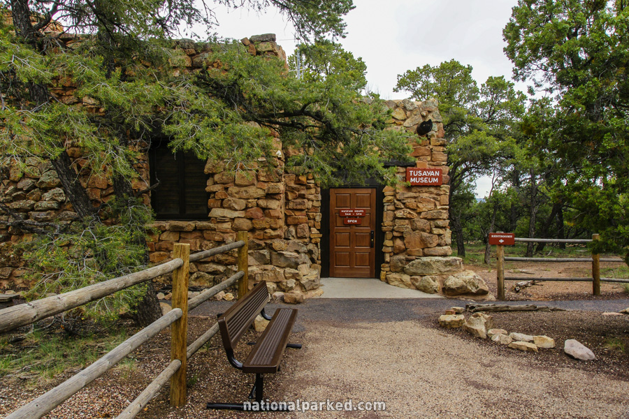
On the left is the Tusayan Museum and ruins. Along with the museum, ruins of a kiva and dwelling can be viewed. These were likely built by the Ancestral Puebloans, often referred to as the Anasazi, around 800 years ago.
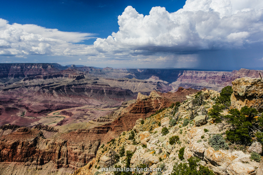
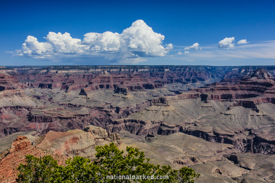
Mile 9.8 – Moran Point
On the right is parking for the next vista point, Moran Point. It is named for the famed landscape painter Thomas Moran. He spent virtually every winter on the South Rim for a twenty year period.
Mile 12.5 – Buggeln Picnic Area
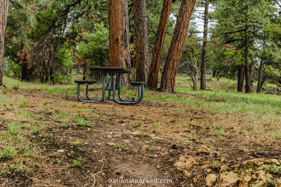
The road goes by the Buggeln Picnic area on the right. It is named for Martin Buggeln, who owned a large ranch in the area. His property was the last private property to be included in the park.
Mile 13.6 – Arizona Trail
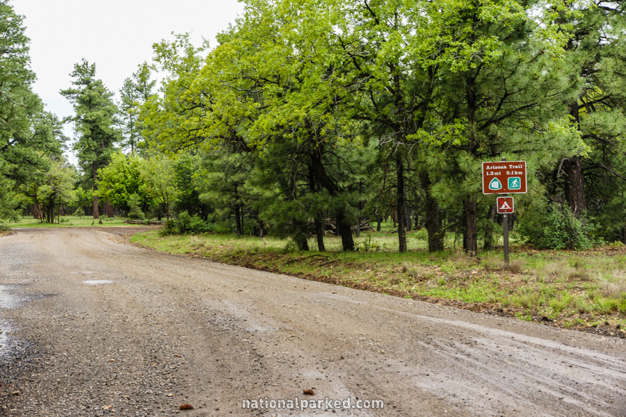
The Arizona Trail can be accessed here. This trail is an 800 mile long trail that runs from the Mexico border to the Utah state line. It follows the path of the South Kaibab and North Kaibab Trails down into and out of the canyon and to the north boundary.
Mile 15.7 – Grandview Point
The Grandview Point area is on the right. Along with the viewpoint, it is also the trailhead for the Grandview Trail. This trail descends steeply into the canyon, providing access to Horseshoe Mesa and Cottonwood Creek.
Mile 23.3 – Yaki Point & South Kaibab Trailhead
The access road for Yaki Point is on the right. In all but the winter months, private vehicles are not allowed in here. Access is by shuttle bus only. The reason for the immense popularity is not just Yaki Point itself. The South Kaibab Trail, one of the most heavily used trails into the canyon, begins here.
Mile 24.4 – South Entrance Road
The road arrives at a T intersection. To the left Arizona Highway 64 continues and leaves the park on the way to the city of Williams. To the right the road goes toward the Mather Point area and Grand Canyon Village.