Needles Road
Needles Road provides a short glimpse of this massive, remote area. It can be found by following Utah Highway 211 for 31.7 miles off of US-191, north of the town of Monticello.
Mile 0 – Park Entrance
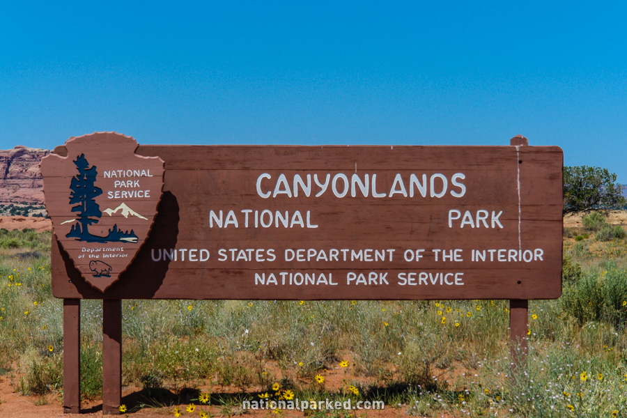
31.7 miles from US-191 via UT-211, north of Monticello, is the entrance sign welcoming you to the Needles District of Canyonlands National Park. 1.6 miles beyond, the road passes through the entrance station. The park entrance fee must be paid or a valid pass shown.
Mile 2.0 – Needles Visitor Center
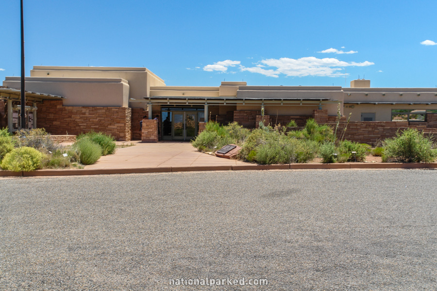
The Needles Visitor Center is on the right. This facility provides water, restrooms, information, displays, and backcountry planning and permits.
Mile 2.4 – Roadside Ruin Trailhead
The road passes by a small parking area for the Roadside Ruin Trail. This short trail leads to an Ancestral Puebloan granary. The park has many such structures. It is a violation of federal law to disturb or deface archeological sites in any way and carries steep penalties.
Mile 2.7 – Cave Spring Road
A road heads off to the left toward the Cave Spring and Salt Creek areas. This road loops back to join the main road 1.8 miles further down the road.
Mile 4.1 – Wooden Shoe Arch Viewpoint
A signed viewpoint for Wooden Shoe Arch is on the left. The view is a distant one, and you won’t see much without binoculars or a good telephoto lens.
Mile 4.8 – Elephant Hill & Campground side road
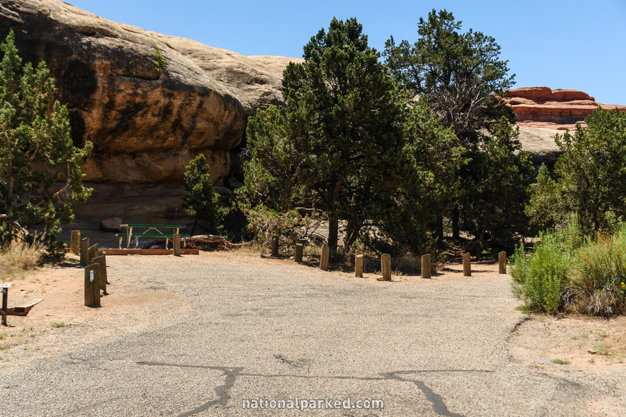
A paved side road heads off to the left. It leads to the Elephant Hill area, passing the Squaw Flat Campground on the way.
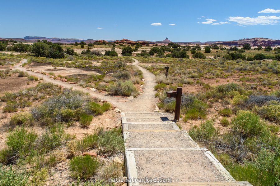
Mile 7.0 – Pothole Point Trailhead
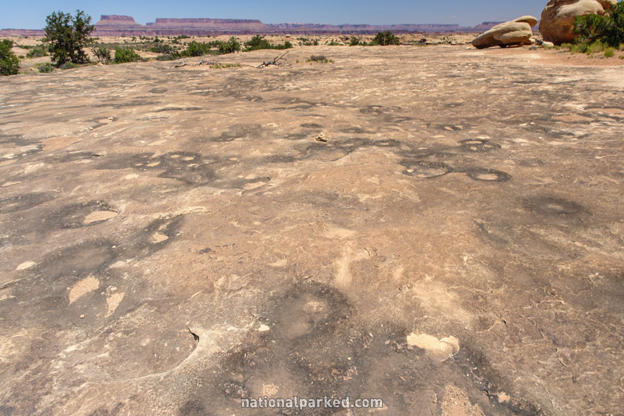
A parking area for the Pothole Point Trail is on the left. This short trail heads over an area of slick rock marked with numerous depressions, or potholes. These collect water during the infrequent rains, and can hold water for several days.
Mile 8.5 – Roads End
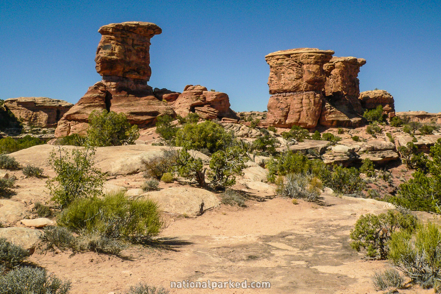
The road ends at an impassable area of rock we call Roads End. The large expanse of rock can be walked around on freely, and several formations, like the one at left, are close by. The Confluence Overlook Trail, a long hike to a viewpoint above the merging of the Colorado and Green Rivers, starts from here.