Island in the Sky Road
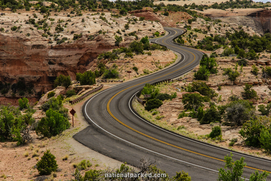
A paved road provides the only easy access to the Island in the Sky District of Canyonlands National Park. It can be found by following Utah Highway 313 for 18.9 miles. UT-313 is just north of Moab, beyond the entrance to Arches National Park.
Mile 0 – Park Entrance
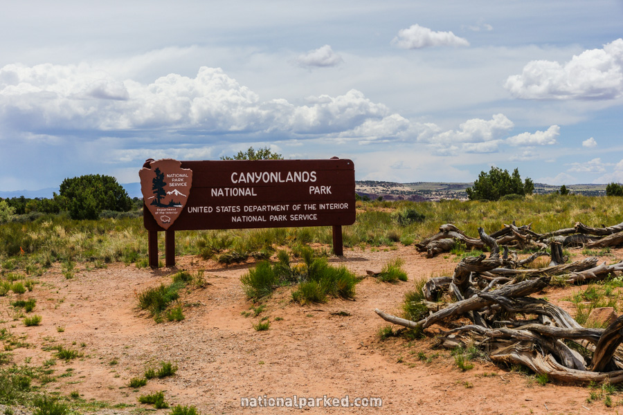
18.9 miles from US-191 via UT-313, north of Moab, is the entrance sign welcoming you to the Island in the Sky District of Canyonlands National Park. 1.1 miles beyond this sign is the entrance station. The park entrance fee must be paid or a valid pass shown.
Mile 1.3 – Shafer Trail Road
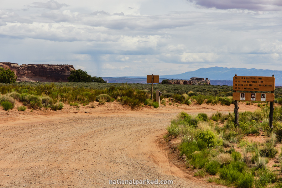
The Shafer Trail Road goes off to the left. This is a rough, narrow, steep, high clearance four wheel drive road with sharp dropoffs. You can see the road dropping down into the canyons in the pictures of Shafer Canyon Viewpoint and Shafer Trail Viewpoint at miles 2.8 and 3.1 below.
Mile 2.3 – Island in the Sky Visitor Center
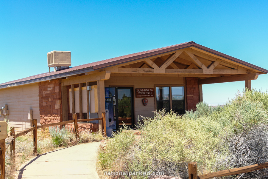
The road passes by the Island in the Sky Visitor Center. This facility provides water via a vending machine, restrooms, information, displays, and backcountry planning and permits.
Mile 2.8 – Shafer Canyon Viewpoint
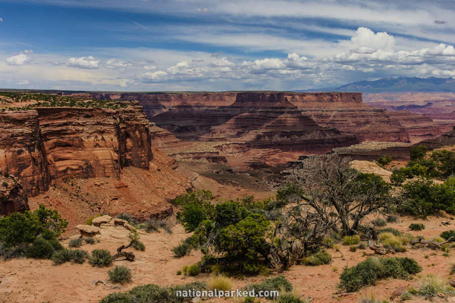
The road goes by parking for the Shafer Canyon Viewpoint and the Neck Spring Trailhead. The Shafer Trail Road is the light band that can be seen crossing the canyon floor.
Mile 3.0 – The Neck
The road crosses a narrow strip of land known as “The Neck”. This small bridge of stone is all that connects the “Island” of Island in the Sky to the rest of the land. It continues to erode, and one day all connection will be removed and the island will become a mesa.
Mile 3.1 – Shafer Trail Viewpoint
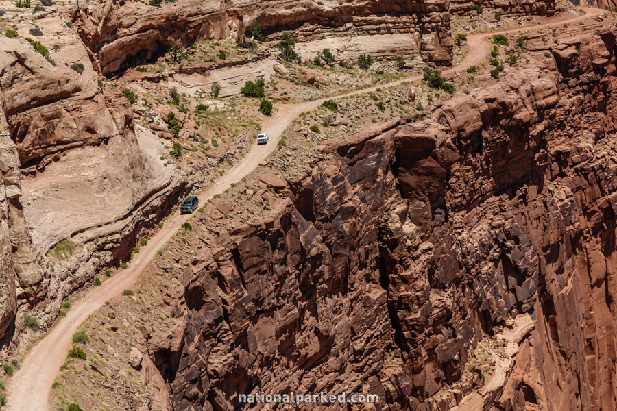
The Shafer Trail Viewpoint is on the left. From here you can see the Shafer Trail making its way down its narrow and rough path to the canyon below. In summer you may see vehicles creeping down the road as at right.
Mile 4.3 – Lathrop Trailhead
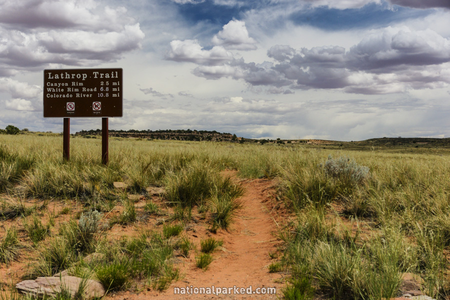
The road passes by the Lathrop Trailhead.
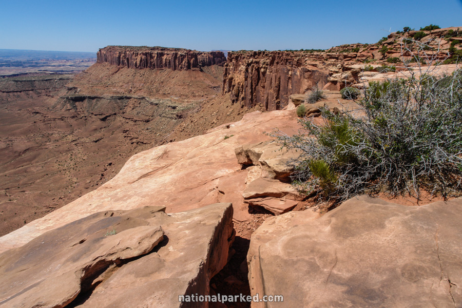
Mile 8.4 – Mesa Arch Trailhead
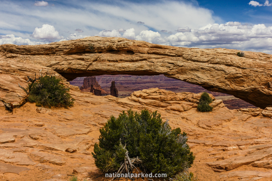
Parking for the Mesa Arch Trailhead is on the left. This short and mostly easy trail leads to Mesa Arch, probably the most easily accessed arch in the park.
Mile 8.7 – Spur Road
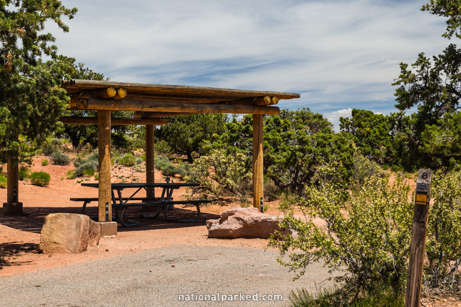
A paved road heads off to the left. This road leads to several things, including the Willow Flat Campground (shown to the left), the Green River Overlook, the Whale Rock Hike, and Upheaval Dome.
Mile 11.1 – Murphy Trailhead
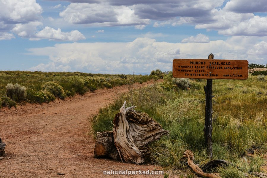
The road passes by the Murphy Trailhead.
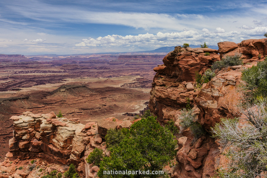
Mile 11.8 – Buck Canyon Overlook
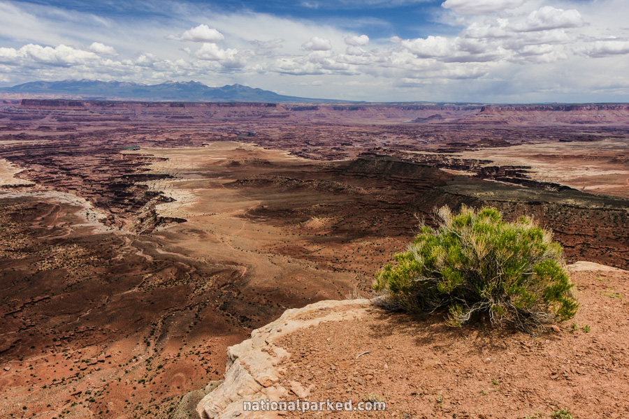
The road goes by the Buck Canyon Overlook, one of the more impressive panoramas in the park.
Mile 13.7 – White Rim Overlook Trailhead
The road passes by the White Rim Overlook Trailhead and a picnic area.
Mile 14.4 – Grandview Point area
Just before the end of the road is the Grandview Point Overlook. This is perhaps the best vista in the park, bested only by continuing 0.2 miles to the road’s end and actually walking along the Grandview Trail itself.