Hiking Trails in Sequoia & Kings Canyon
These two parks are hiking paradises, particularly in the summer. There is a huge variety of hikes, ranging from short walks to sequoia trees or waterfalls to world class backcountry hikes of a week or more. Mount Whitney, the highest peak in the lower 48 states, is a popular, and difficult, backpacking hike. Below, we describe some of the shorter and more popular hikes in the park. We hope to add some of the longer hikes in the future, but it would take a lifetime to see them all.
Hiking distances given below are total, roundtrip distances unless otherwise stated. Difficulties are only a general guideline, for an adult in good condition, and do not take into account trail length. We strongly recommend you also have a good Sequoia & Kings Canyon Trail Map with you.
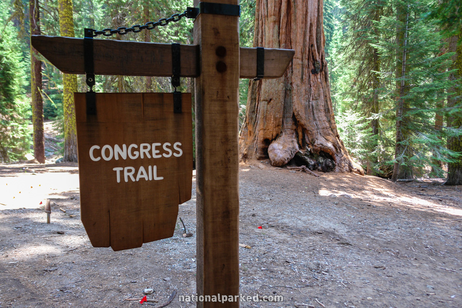
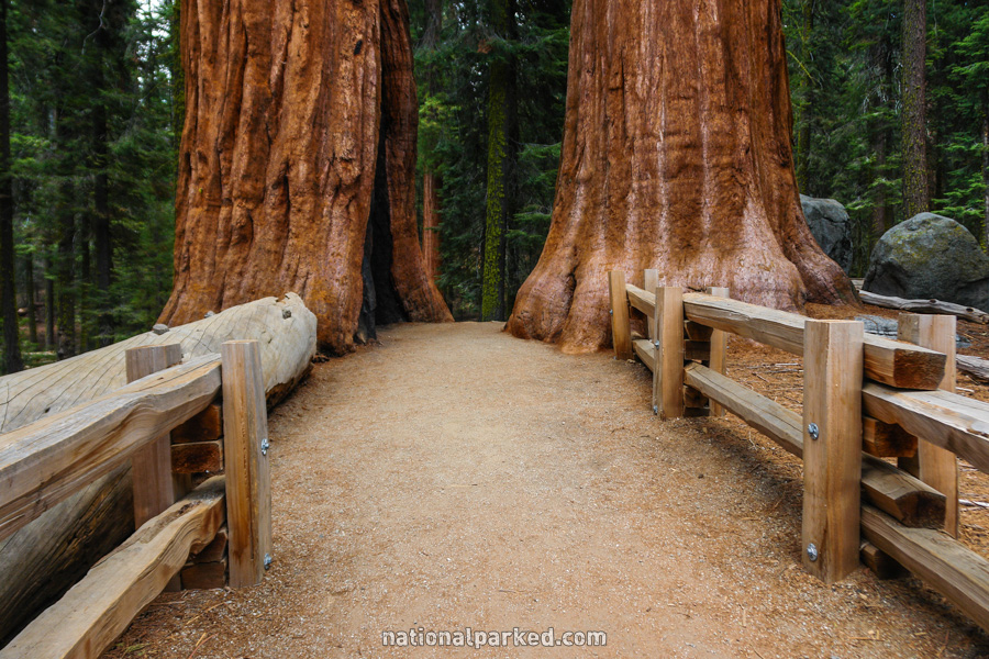
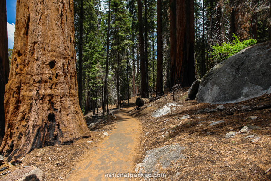
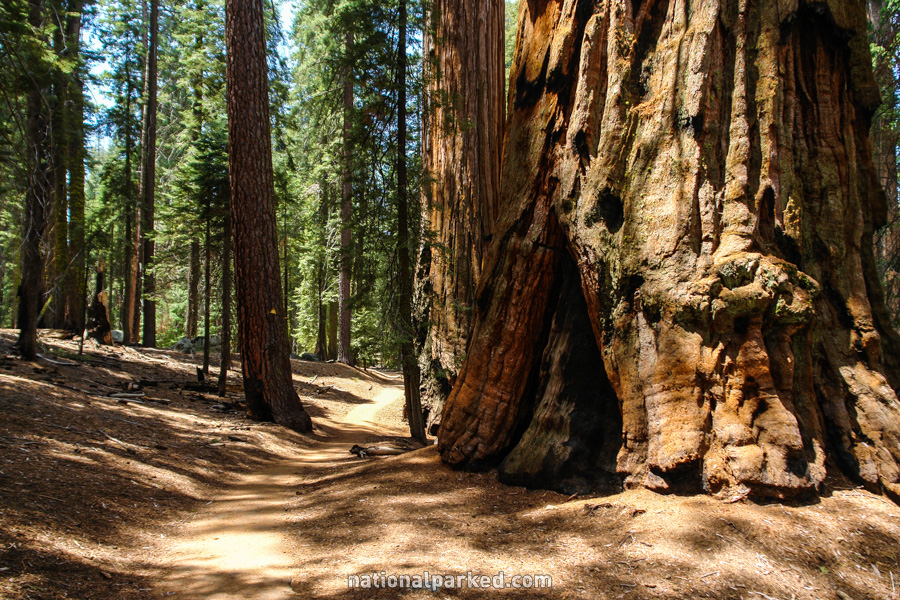
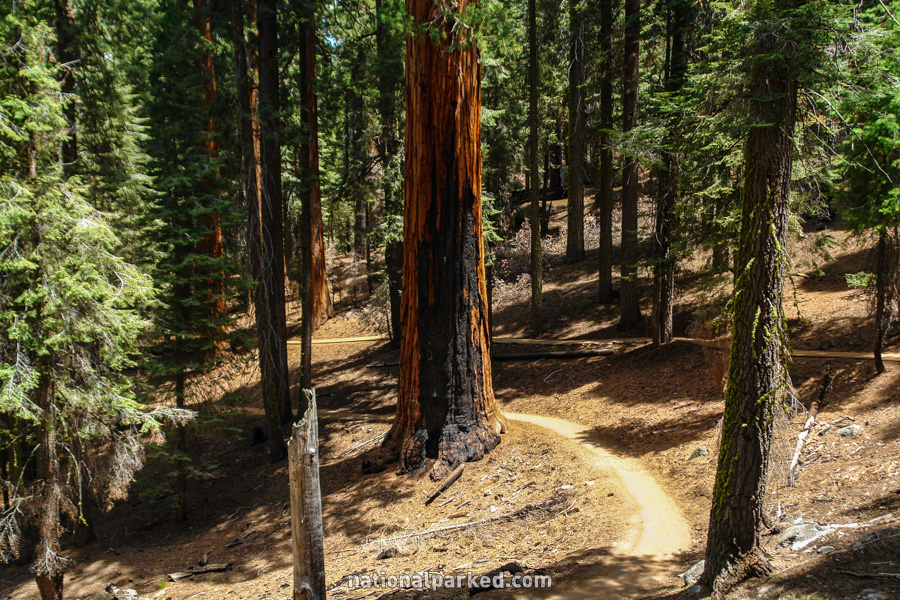
Congress Trail
The Hike: From above at the General Sherman parking area, the Sherman Tree Trail adds about a third of a mile to the hike, but it is all downhill. The shuttle can be caught at the bottom to return to the parking area. The Congress Trail itself is a 2.0 loop and is probably the best trail in either park for sequoia viewing. It leads past an almost unimaginable number of the trees, including several named groups such as the House and Senate Groups, hence the name of the trail. If you plan to do one big tree hike, this is the one. A much longer extension of this hike is also available, named the Trail of the Sequoias, and adds another 4 miles to the loop.
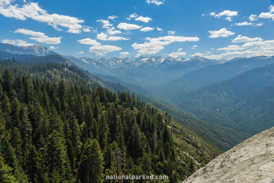
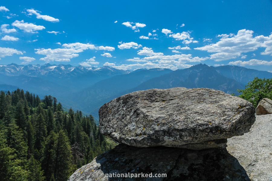
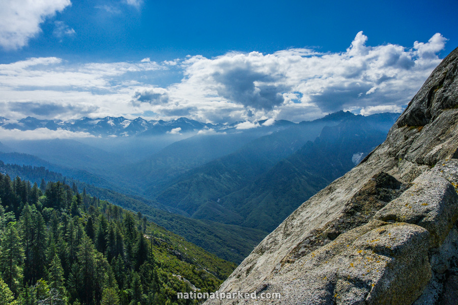
Moro Rock
The Hike: This is a short but steep climb, much of it on stairs, to the top of Moro Rock. From there, a great panoramic vista unfolds of the Sierra Range.
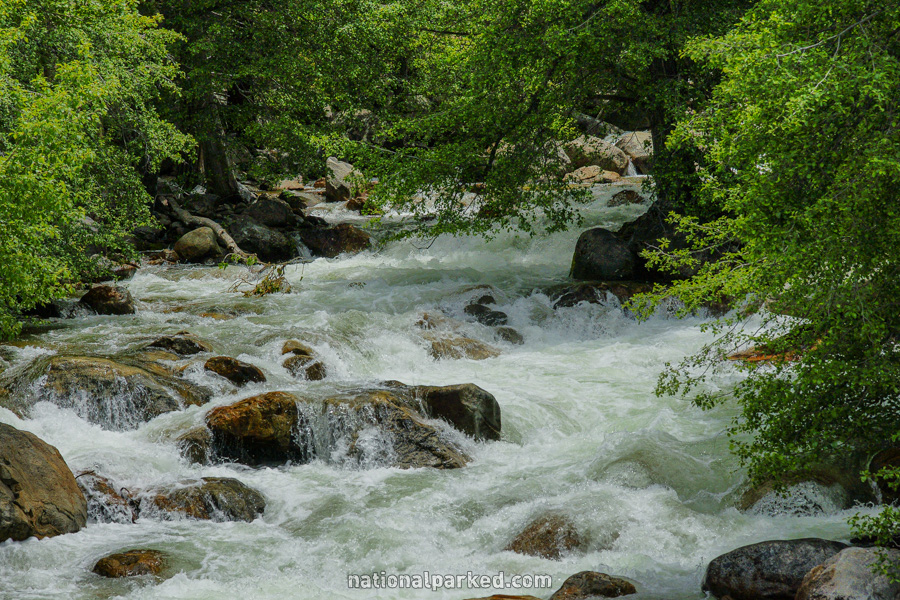
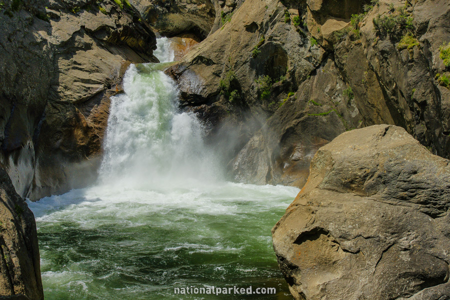
Roaring River Falls
The Hike: This short and easy paved walk stretches the definition of the word hike, but the destination is spectacular enough to warrant it. Roaring River Falls is a powerful drop of water in all but the lowest water flows. In peak snowmelt, it is frightening.
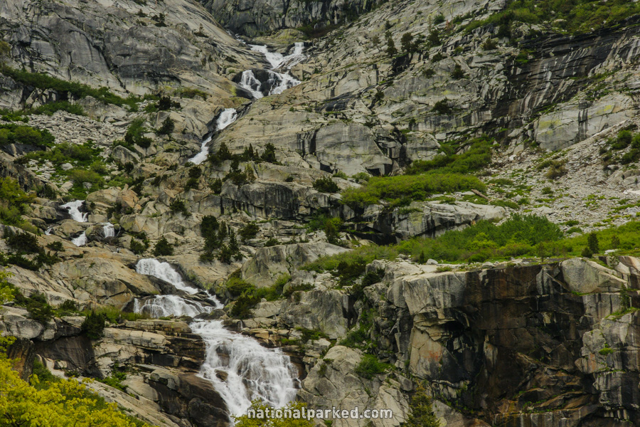
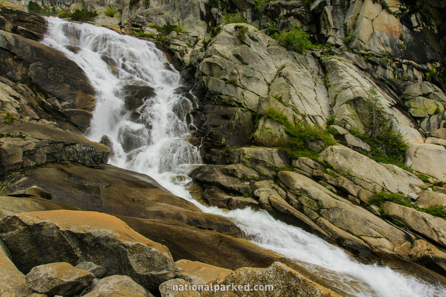
Tokopah Falls
The Hike: The trail climbs gently along the Marble Fork Kaweah River and through the forest, never getting steep. The trail gets rocky as it approaches the very tall Tokopah Falls. Golden marmots are a frequent sight in the area, as are black bears.
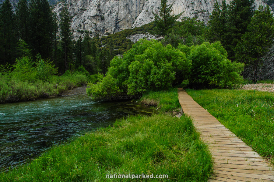
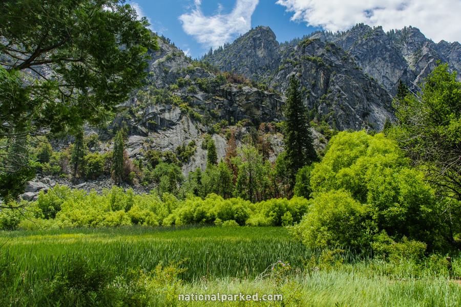
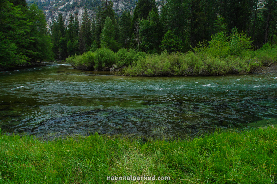
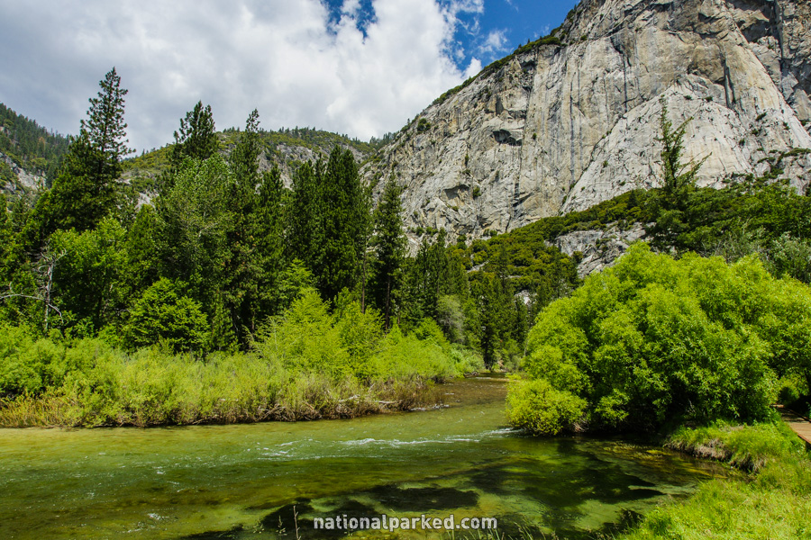
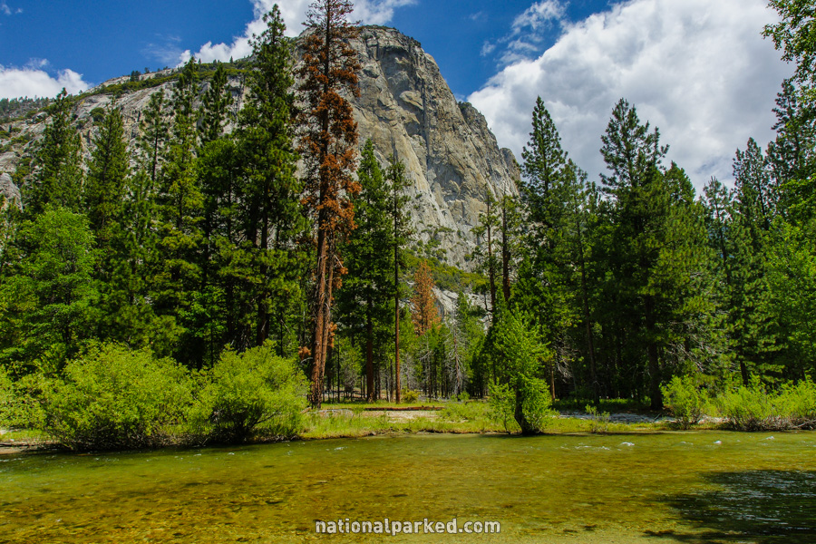
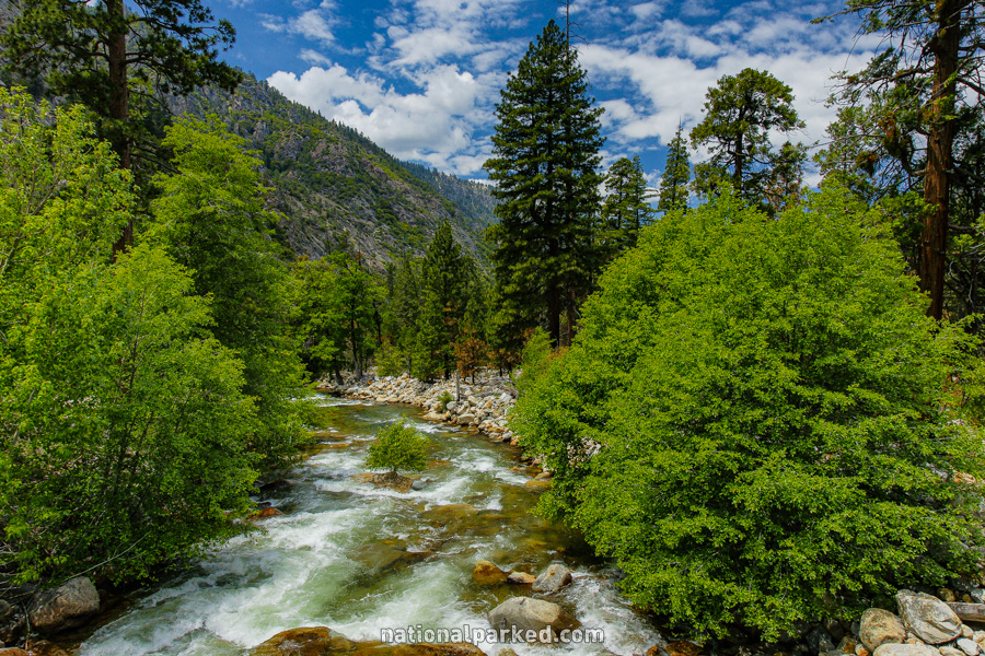
Zumwalt Meadow
The Hike: This is an easy and beautiful walk along Zumwalt Meadow and the Roaring River. It is one of the more scenic easy walks in Kings Canyon and highly recommended.