Utah Highway 24
Utah Highway 24 passes through Capitol Reef National Park for 15 miles, providing the most accessible paved route to view the park. Below we cover just the span within the national park, but much of the route of this highway in Utah is very scenic as well.
Mile 0 – Park Entrance
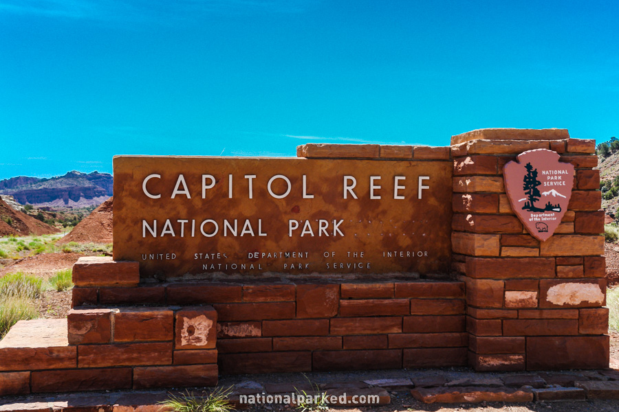
About four miles beyond the junction with UT-12 in Torrey, the highway passes the entrance sign welcoming you to Capitol Reef National Park.
Mile 1.0 – Twin Rocks
One of the park’s beautiful stone signs indicates the Twin Rocks formation. A small pullout is alongside the road to allow a short stop for viewing and photography.
Mile 3.0 – Chimney Rocks Trailhead
A small parking area is just off the road on the left. This is where the Chimney Rock Loop Trail begins (and ends). It is a 3.5 mile hike and is fairly difficult, especially in summer due to lack of shade.
Mile 3.6 – Panorama & Goosenecks Point
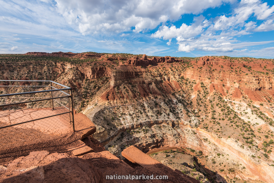
A short side road on the right leads to Panorama Point, becomes unpaved, and heads on to Goosenecks Point. The latter is at the end of the short Goosenecks Trail. These two vista points provide some of the best accessible views in the park, particularly the Goosenecks, which is shown to the left.
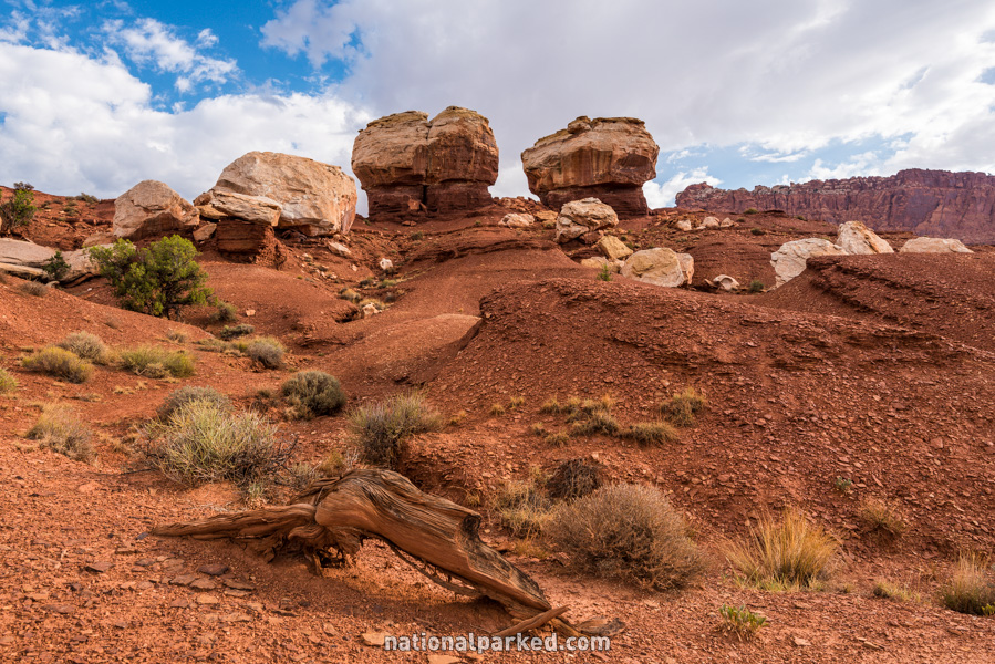
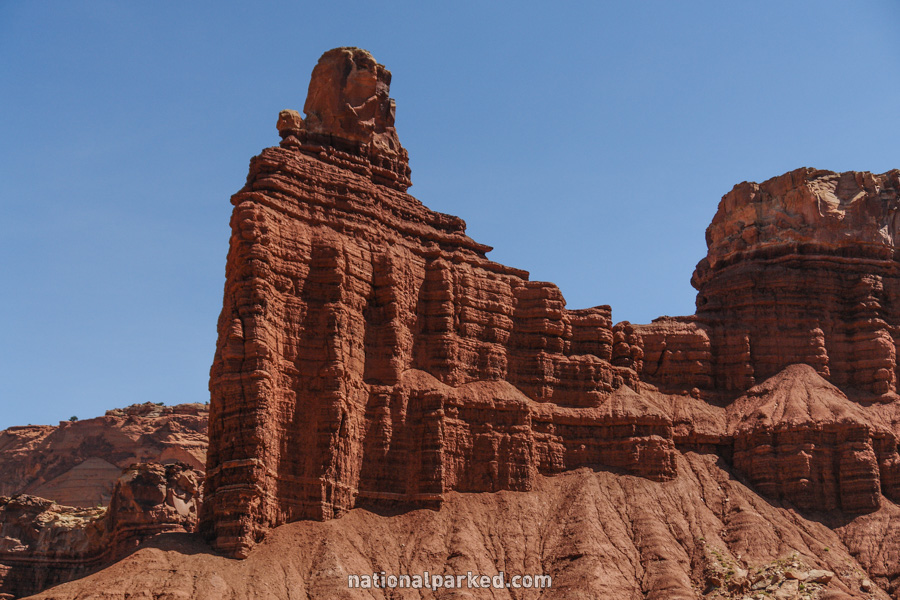
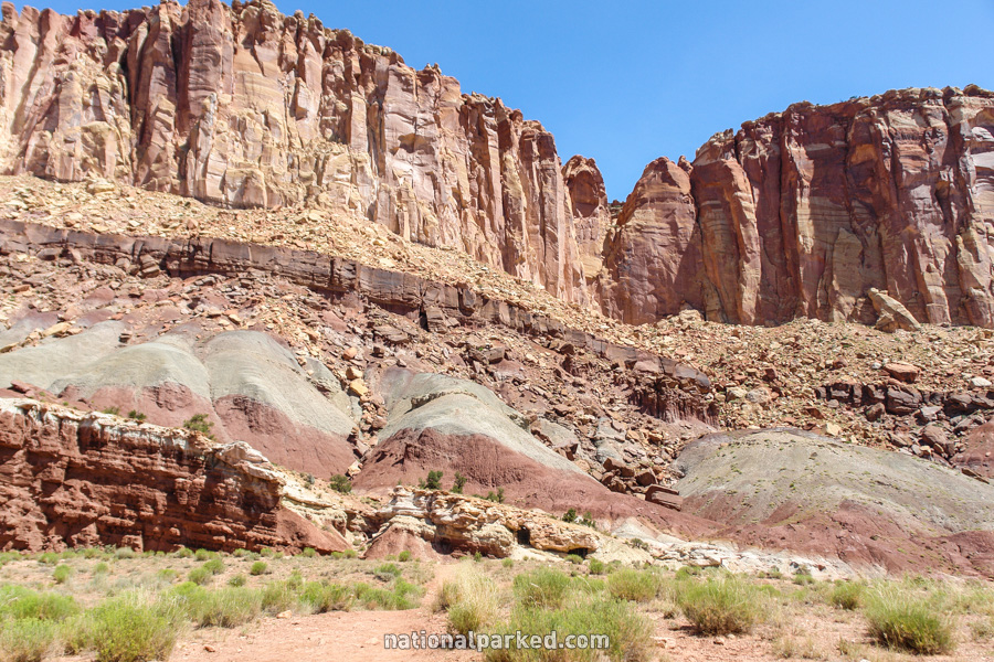
Mile 5.2 – The Castle
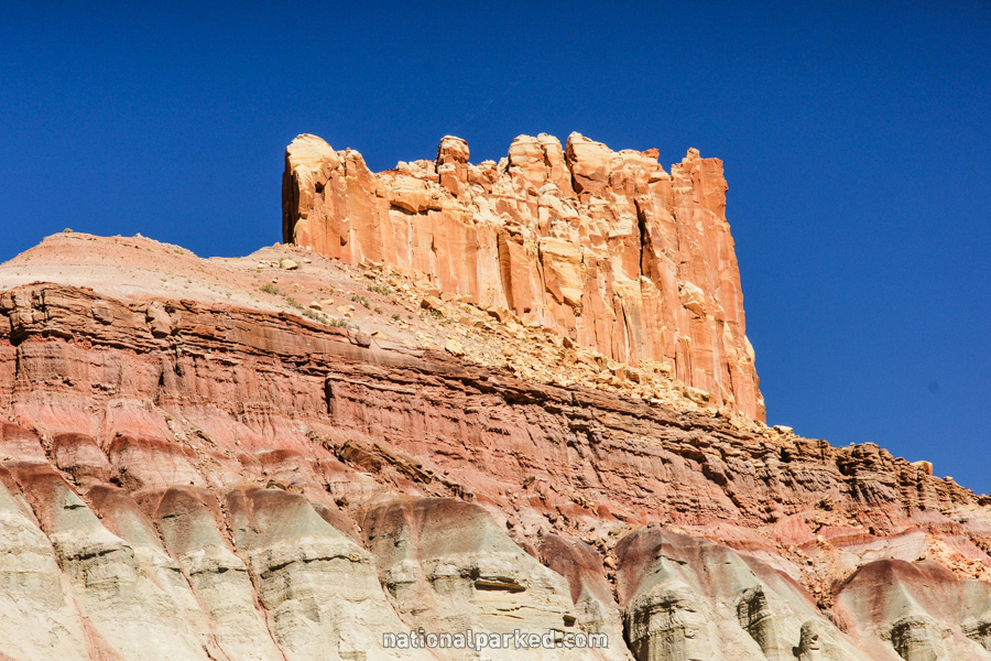
Another sign along the road indicates a formation called The Castle.
Mile 6.0 – Capitol Reef Scenic Drive
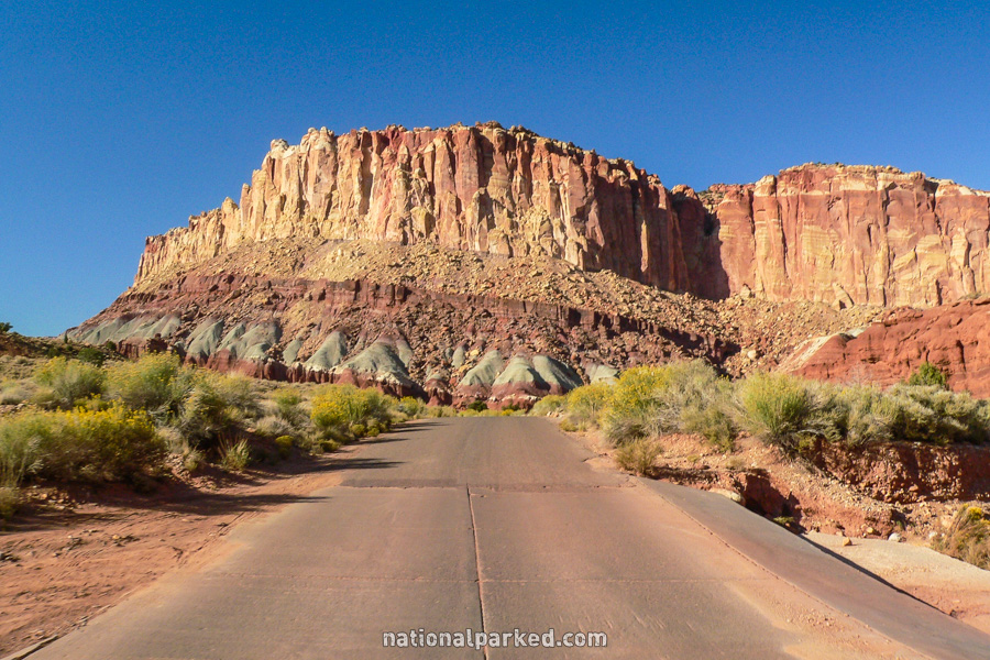
The visitor center and the beginning of the Capitol Reef Scenic Drive is on the right. The park entrance fee must be paid or a pass shown to enter this area.
Mile 6.8 – Fruita Schoolhouse
Shortly after the road enters the Fruita Historic District is the old Fruita Schoolhouse. The building cannot be entered, but the inside can be seen through the windows.
Mile 7.1 – Petroglyphs
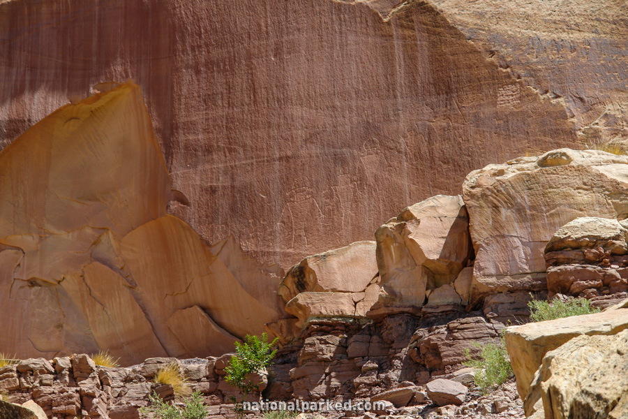
A parking area is on the left for a good example of petroglyphs. A boardwalk allows you to get a relatively close-up view of these ancient writings.
Mile 7.9 – Hickman Bridge Trail
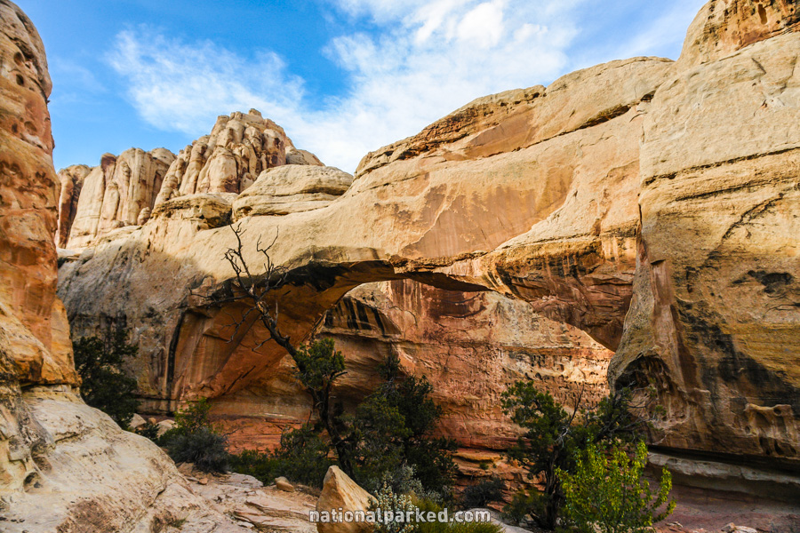
A parking area on the left provides access to both a viewpoint of Capitol Dome and the Hickman Bridge Trail. This moderate hike leads for about a mile to, and under, a natural bridge formation. See Capitol Reef Hiking Trails for more information.
Mile 10.6 – Grand Wash Trailhead
A few parking spaces for the Grand Wash Trailhead are on the right. This hike can either begin or end here; the other end of the 2.2 mile long “trail” through the wash is at Grand Wash Road, just off of the Capitol Reef Scenic Drive.
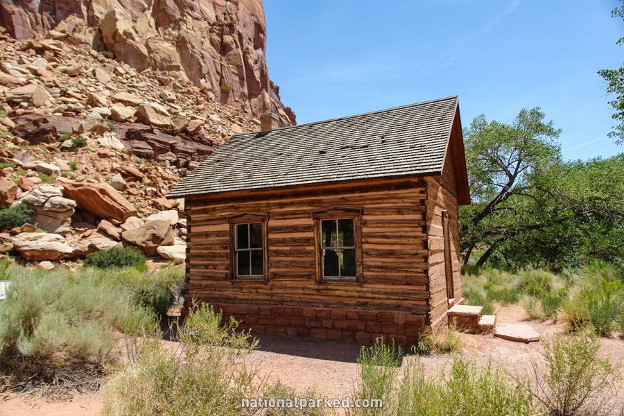
Mile 12.0 – Behunin Cabin
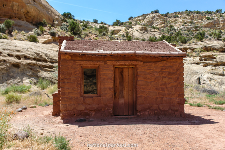
On the right side of the road stands the Behunin Cabin. This tiny dwelling was home to the very large Behunin family in the latter 1800s.
Mile 12.7 – Fremont River Gorge
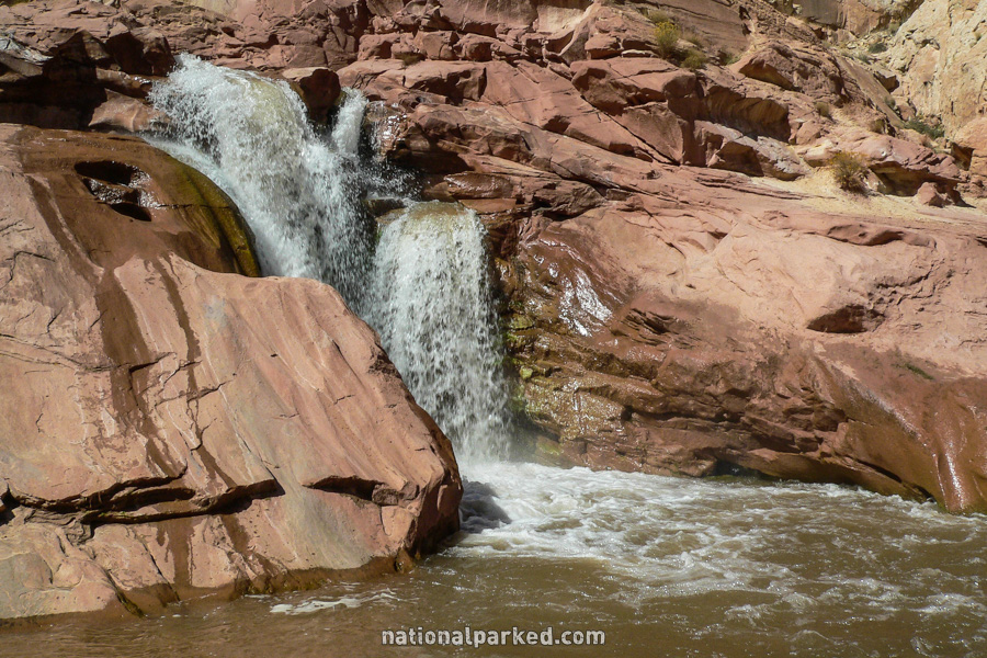
UPDATE: This entire area is now fenced off and closed to all entry due to numerous injuries.A parking area on the left side of the road provides access to a unique and beautiful section of the Fremont River. The river cuts down through the stone in wild passages before plunging over a waterfall, and quite a sizable one given the arid environment. Lower water flows will allow a close inspection of the water’s course through the rock, but exercise extreme caution. This rock can be quite slippery even when dry.
Mile 15.1 – Park Boundary
The highway exits the park at the eastern boundary.