The Roads of Arches
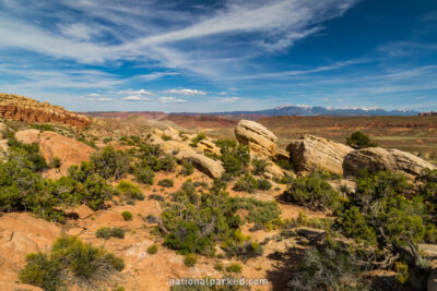
Arches National Park is perhaps one of the easiest parks in the system to navigate by car. The superb Arches Scenic Drive provides access to all developed areas within the park. It measures 18.7 miles from park entrance sign to its end at Devil’s Garden, for an out and back drive of 37.4 miles (there is no loop option). Two spur roads head off to the east in two different spots, leading to the extraordinary Windows and Delicate Arch areas. The drive is accessed off of US 191, about 5 miles north of the town of Moab.
This route is discussed in two sections below. The first is the lower, or southern half, beginning at the park entrance sign just off US 191 and ending at the Windows turnoff. The second section continues on from the turnoff and finishes at the road’s end at Devil’s Garden, taking in the Delicate Arch spur road on the way. There are limited unpaved roads within the park as well. These roads are not recommended for passenger cars, and they become impassable even to high clearance four wheel drive vehicles after rain. They are not covered here.
Start Point: Mile 0 – Park Entrance Sign
End Point: Mile 10.0 – Windows Turnoff
Start Point: Mile 10.0 – Windows Turnoff
End Point: Mile 18.7 – Devil’s Garden Parking Area