The Roads of Rocky Mountain
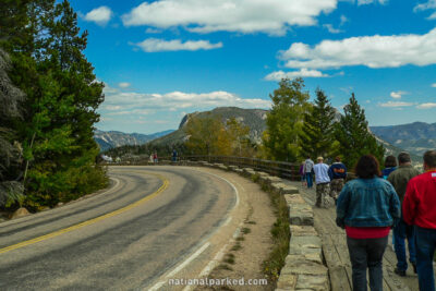
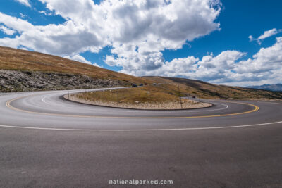
The park’s main road is Trail Ridge Road. It links the Beaver Meadows Entrance at Estes Park to the Grand Lake Entrance, a distance of 46 miles. Its route tops out above 12,000 feet, making it the highest continuous paved road in the United States. It provides the easiest access to alpine scenery in the national park system. Most of Trail Ridge Road is closed by snow from approximately October to June.
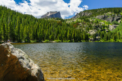
The Bear Lake Road leads south from Trail Ridge Road to Bear Lake, offering access to Glacier Basin and other areas along the way. Fall River Road connects the Fall River Entrance, also near Estes Park, to the Trail Ridge Road. Finally, Old Fall River Road is a road that begins paved, then becomes gravel as it leads steeply to the Alpine Visitor Center. It is closed by snow most of the year, and is usually open only early July to late September.
Start Point: Mile 0 – Trail Ridge Road
End Point: Mile 9.2 – Bear Lake parking area
Start Point: Mile 0 – Fall River Entrance
End Point: Mile 4.0 – Trail Ridge Road
Start Point: Mile 0 – Beaver Meadows Entrance
End Point: Mile 22.0 – Alpine Visitor Center
Start Point: Mile 22.1 – Alpine Visitor Center
End Point: Mile 43.6 – Grand Lake Entrance