Arches Scenic Drive (Part 2)
The Arches Scenic Drive is the main way to tour Arches National Park. It begins right off of US191, north of Moab. This page covers the second part, from the Windows Road turnoff to the end of the road at Devil’s Garden. For coverage of the first part of the road, from its beginning off of US191, see Arches Scenic Drive (Part 1).
Mile 11.1 – Panorama Point
After returning to the main park road from the Windows spur road, turn right to continue deeper into Arches National Park. A side road for Panorama Point leaves to the right. This point provides a good view from the rim of the lower Salt Valley.
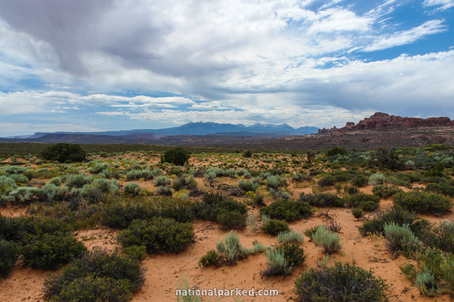
Mile 12.3 – Cache Valley Overlook
An overlook of the Cache Valley is on the right. This is one of several stopping points that offers sweeping views of the desert terrain of the park.
Mile 12.5 – Delicate Arch Spur Road
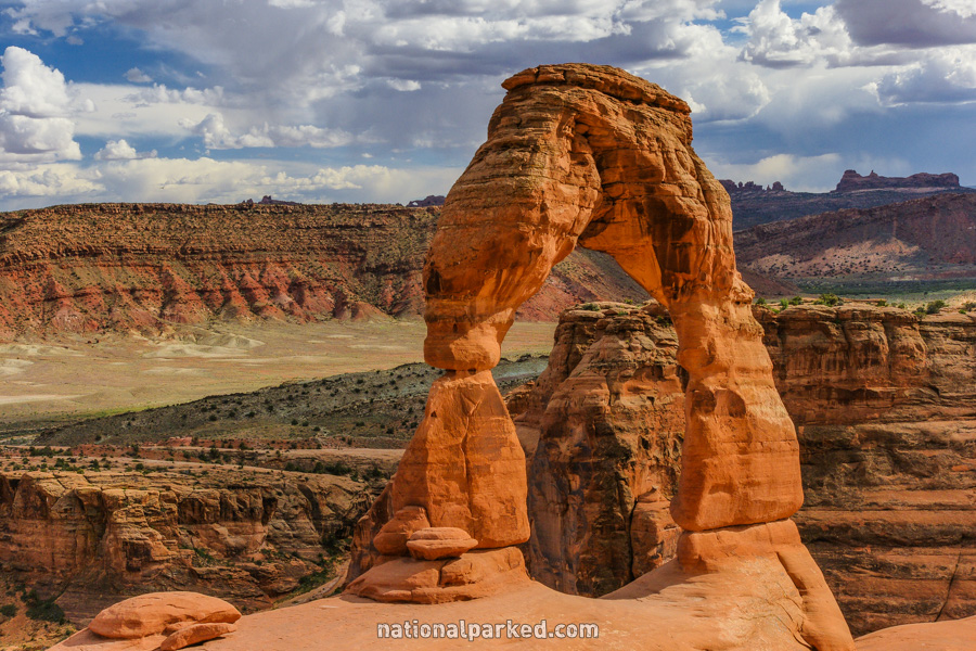
A spur road to the right leads to Delicate Arch. Virtually every car on the road will take this turn, for good reason. Delicate Arch has become the symbol of Utah, even appearing on many of its license plates. Two outstanding options exist for seeing it.
The first is the Delicate Arch Trail, a little over a mile down the road at Wolfe Ranch. This is a superb, moderately difficult hike to the arch’s base. The second option is the Delicate Arch Viewpoint, a shorter and easier hike, which leads to a more distant view of the arch. It is a mile further, at the end of the road. For information on the main trail, see Arches Hiking.
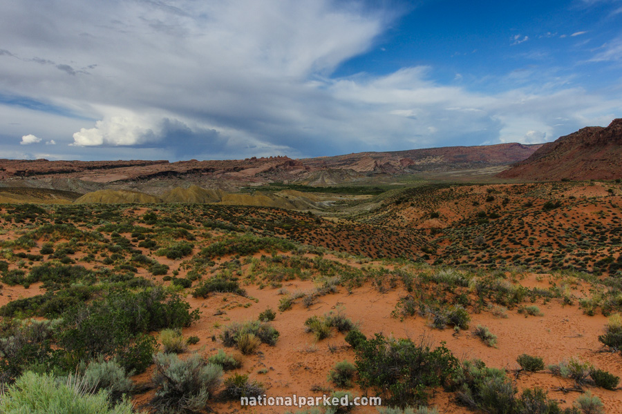
Mile 14.7 – Salt Valley Overlook
The turnoff for the Salt Valley Overlook is on the right. A short drive on this spur road leads to a grand vista of the lower Salt Valley.
Mile 15.0 – Fiery Furnace
A road splits off to the right, leading to the Fiery Furnace area. A viewpoint from above allows a look from “outside”. To walk inside the labyrinthe of the Fiery Furnace requires one of two things. The large majority of visitors take the first option, to be a part of one of the ranger guided hikes offered daily, in season. These often fill a day or more ahead of time and reservations in person are required. The second option requires skill in navigation and a permit. In short, exploration of the Fiery Furnace is not allowed without a permit or a ranger.
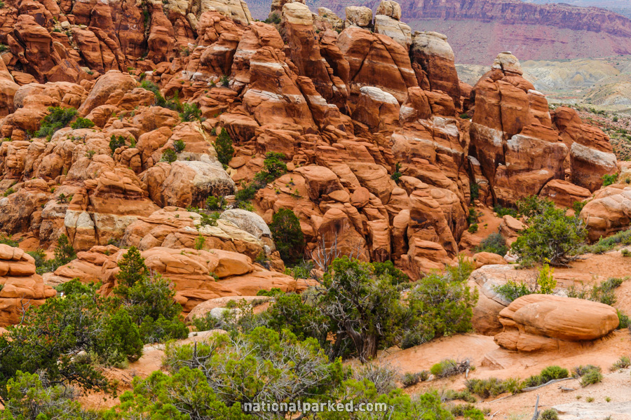
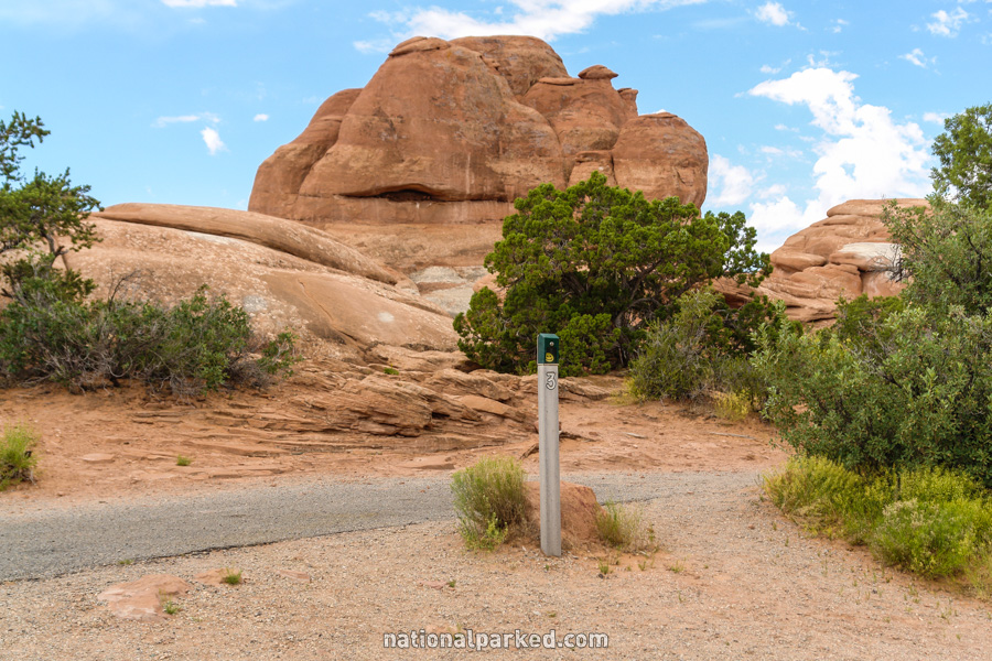
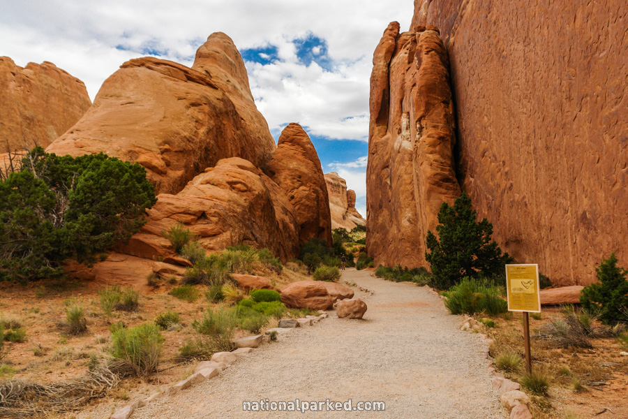
Mile 16.9 – Sand Dune Arch & Broken Arch
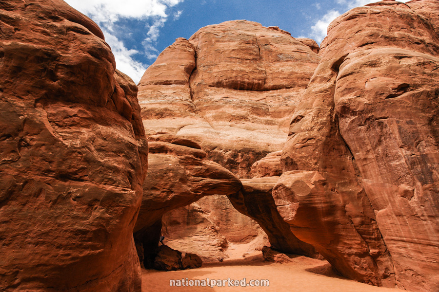
A parking area is on the right for Sand Dune Arch and Broken Arch. The quality of the scenery and the relative ease of the hike makes one or both of these arches a must see. Sand Dune Arch, pictured on the left, is accessed through a narrow opening and through deep sand. Broken Arch is across an open, sandy desert grassland. The hike to Sand Dune Arch is a short and easy way to see it up close. Hiking to Broken Arch can be done from the same trail or from the Devil’s Garden Campground. For more information on these trails, see Arches Hiking.
Mile 17.4 – Tower Arch Road
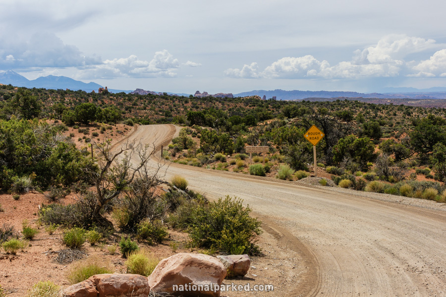
A dirt road goes off to the left toward Tower Arch and the Klondike Bluffs. This road should not be attempted without a high clearance four wheel drive vehicle. Check with a ranger at the visitor center for road conditions.
Mile 17.7 – Skyline Arch
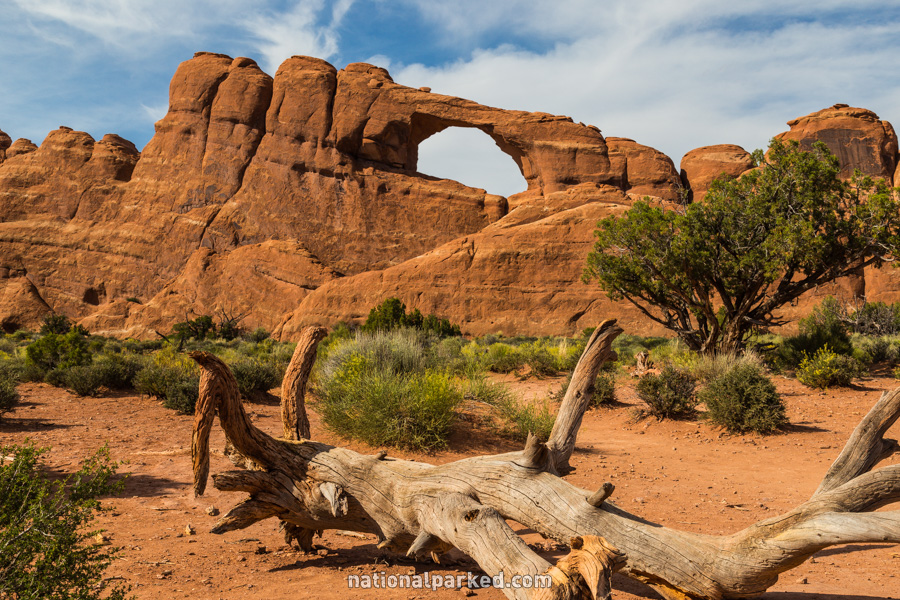
A parking area is on the right. This is the Skyline Arch area, another short walk leading to an impressive arch. This arch can be easily seen from the road, but it is much more impressive up close.
Mile 18.4 – Devil’s Garden Campground
Shortly after the road becomes a one-way loop, a road to the right leads to the Devil’s Garden Campground, the only developed campground in the park. For details on this very popular campground, see Arches Camping.
Mile 18.7 – Devil’s Garden
At the end of the road lies the massive Devil’s Garden parking lot, from which the trail system is reached. This area is extremely popular, for good reason. There is access to at least nine arches, including easy access to Pine Tree, Tunnel, and Landscape Arch, the last being the largest span in the park. Landscape Arch may be the largest in the world, rivaled only by Kolob Arch in Zion National Park. Longer hikes lead to Double O Arch and Dark Angel. The Devil’s Garden Trail System leads to all of these features and more. See Arches Hiking for more on the area.