Arches Scenic Drive (Part 1)
The Arches Scenic Drive is the main way to tour Arches National Park. It begins right off of US191, north of Moab. This page covers the first part, from the road’s start at US-191 to the Windows Road turnoff. For coverage of the second part of the road, to it’s end at Devil’s Garden, see Arches Scenic Drive (Part 2).
Mile 0.0 – Park Entrance
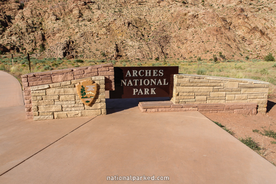
Just after turning off of US 191 is the entrance sign welcoming you to Arches National Park. A short 0.6 mile later the road passes through the entrance station. The park entrance fee must be paid or a valid pass shown.
Mile 0.8 – Arches Visitor Center
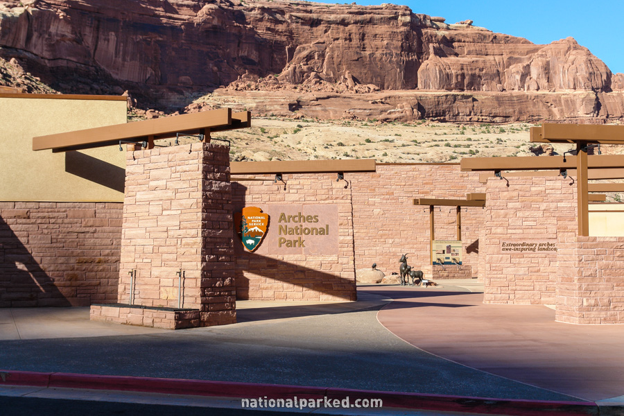
The Arches Visitor Center is a short distance past the entrance station, and should be the first stop for any first time visitor. It includes excellent exhibits, a large theater showing a 15 minute introductory film to the park, and a unique animated display of the geologic processes that shaped the park. Normal hours of operation run 8AM to 5PM, with shorter hours in winter. There is also a large outdoor area full of information for those who miss the open hours.
Mile 2.0 – Moab Fault
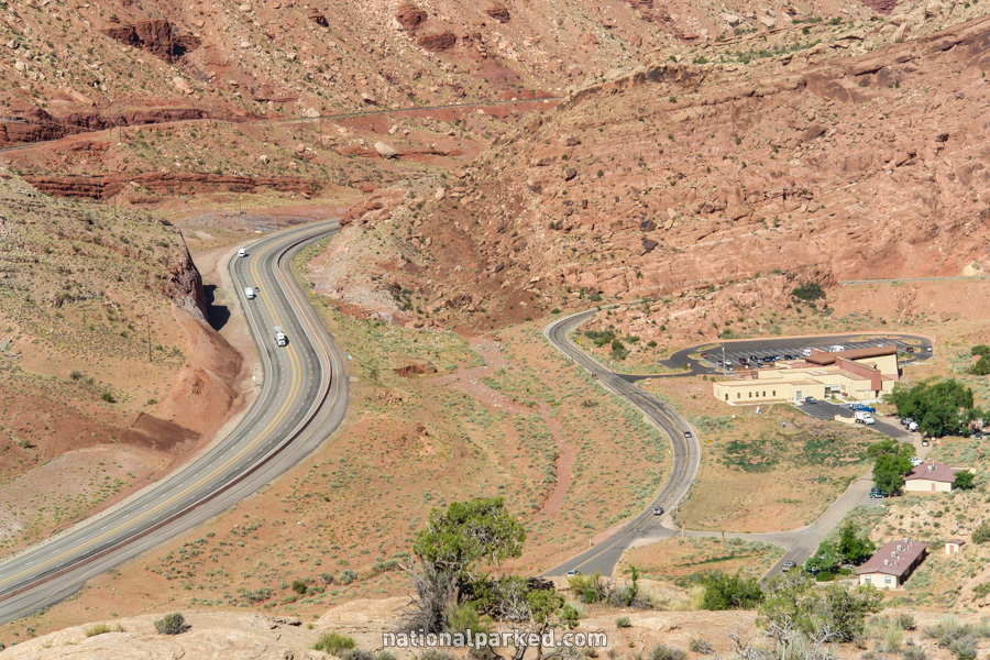
The first marked stopping point is the Moab Fault. The road climbs steeply through two sharp switchbacks past the visitor center to arrive here. From this viewpoint you gaze down upon US 191 carving its way through the canyon below.
Mile 3.0 – Park Avenue
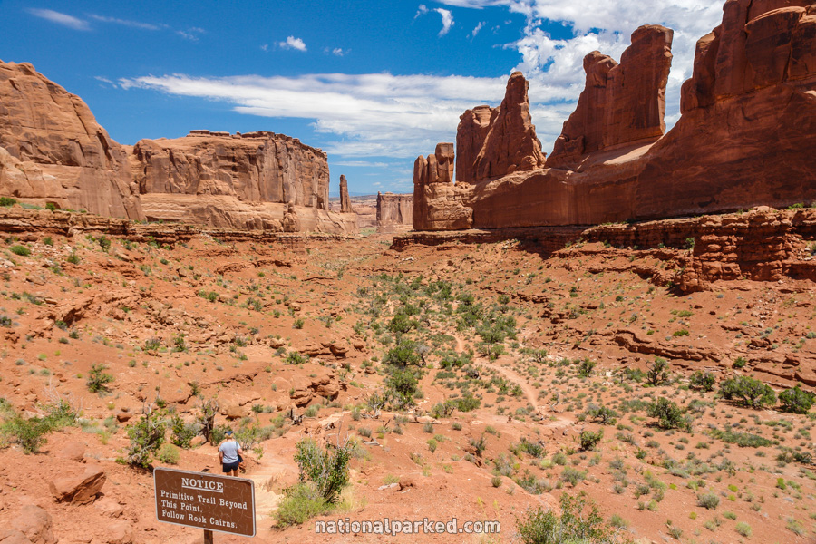
The parking area for Park Avenue is the next stopping point. This is the first real chance to leave the car and experience the Arches terrain close up. However, Park Avenue is not an arch-based area. Rather, it is an area named for an impressive, jagged wall, the profile of which reminded observers of the New York skyline, hence the name Park Avenue. The Park Avenue Trail, an excellent, easy hike leaves from this point down into the canyon below. See Arches Hiking for details.
Mile 3.4 – La Sal Mountains Viewpoint
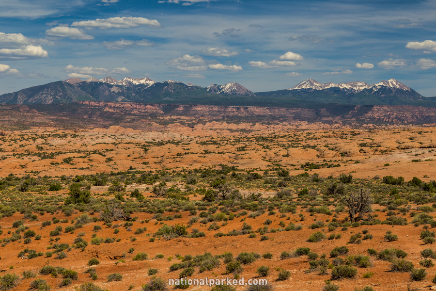
The turnoff for the La Sal Mountains viewpoint quickly approaches on the right. Take this brief spur road to a great view of the La Sal Mountains in the distance.
Mile 4.4 – Courthouse Towers Viewpoint
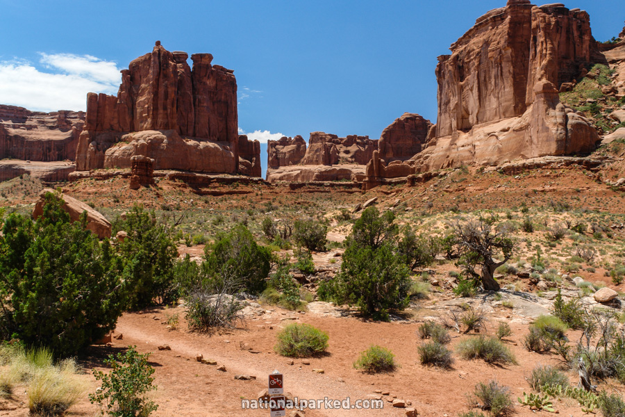
The road continues on to the Courthouse Towers Viewpoint. This area is also the other end of the Park Avenue Trail mentioned previously. Numerous formations can be seen from here, including Three Gossips, Sheep Rock, the Organ, and the Tower of Babel. The picture to the left is looking back into Park Avenue.
Mile 6.8 – Petrified Dunes Viewpoint
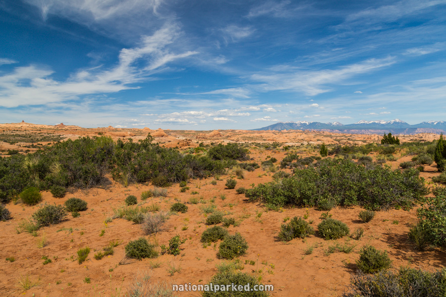
A small pullout on the right is signed for the Petrified Dunes. These form when sand dunes harden under other rock layers. Those top layers eventually erode away, leaving the dunes exposed.
Mile 9.8 – Balanced Rock Viewpoint
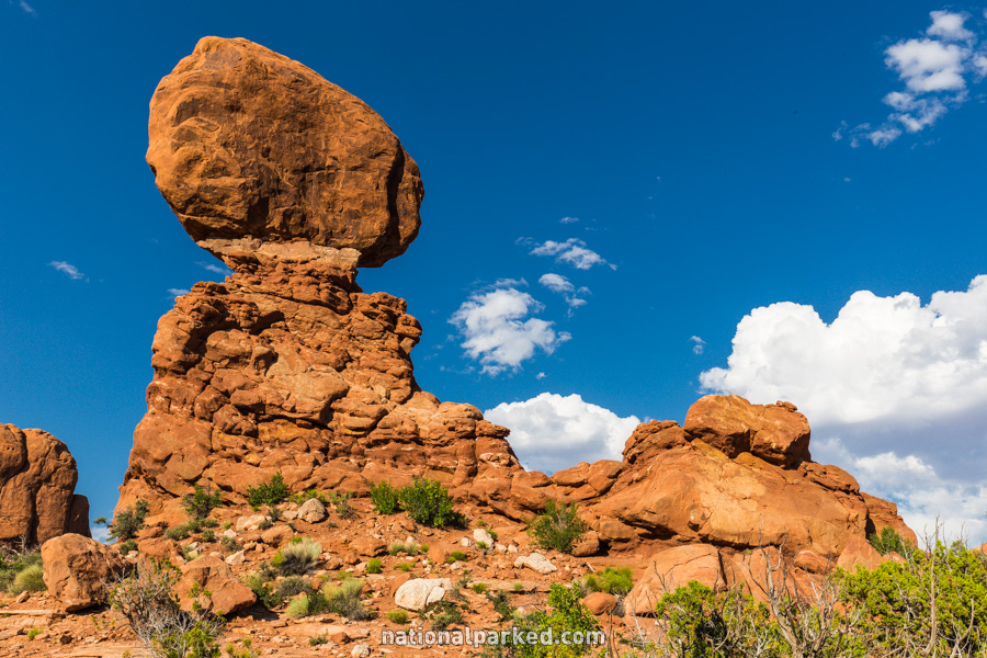
The parking area for Balanced Rock, an often congested area, is announced by reduced speed limits. This bizarre formation can be seen easily from the parking area, or you can walk the Balanced Rock Trail, a highly recommended and easy short walk around it.
Mile 10.0 – Windows Spur Road
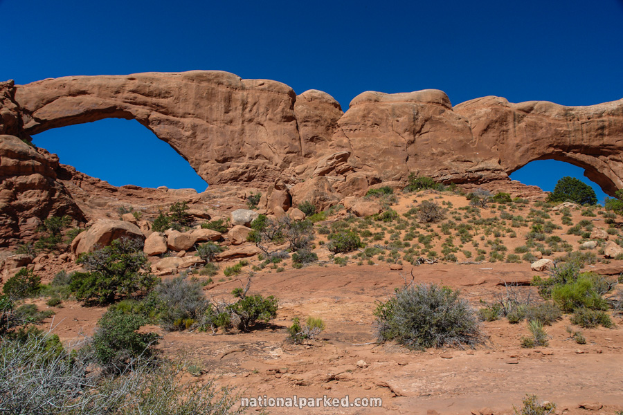
Shortly after leaving Balanced Rock, the spur road to the Windows area lies to the right. This is the first real opportunity to view the park’s famous arches. The road is 2.5 miles long, and visits the Garden of Eden area on the way to the Windows, Turret Arch, and Double Arch. See Arches Hiking for more on these spots.
The Arches Scenic Drive Continues On
For the continuation of the road, to its end at Devil’s Garden, see Arches Scenic Drive (Part 2).