- This page contains affiliate links. Purchases made through them may earn us a small fee.
Getting to Theodore Roosevelt National Park
Driving to Theodore Roosevelt
The South Unit is just off I-94 through the town of Medora, at exit 23 or 27. The Painted Canyon area has its own exit off of I-94, exit 32. The North Unit is located along US-85, 50 miles north of I-94 via exit 42.
If you’d like to plot directions from your location use the interactive map below. The marker shows the location of the South Unit Visitor Center in Theodore Roosevelt.
Flying to Theodore Roosevelt
Below you will find a list of airports most convenient for a trip to Theodore Roosevelt, listed in order of distance. For each airport we provide direct links to browse available flights and cars. For price searches, simply enter your origin and dates.
Bismarck Municipal Airport (BIS)
Located in Bismarck, North Dakota, 137 miles by car to Theodore Roosevelt
Bismarck flight schedule and price search
Bismarck available rental cars and price search
Rapid City Regional Airport (RAP)
Located in Rapid City, South Dakota, 246 miles by car to Theodore Roosevelt
Rapid City flight schedule and price search
Rapid City available rental cars and price search
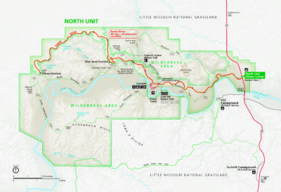
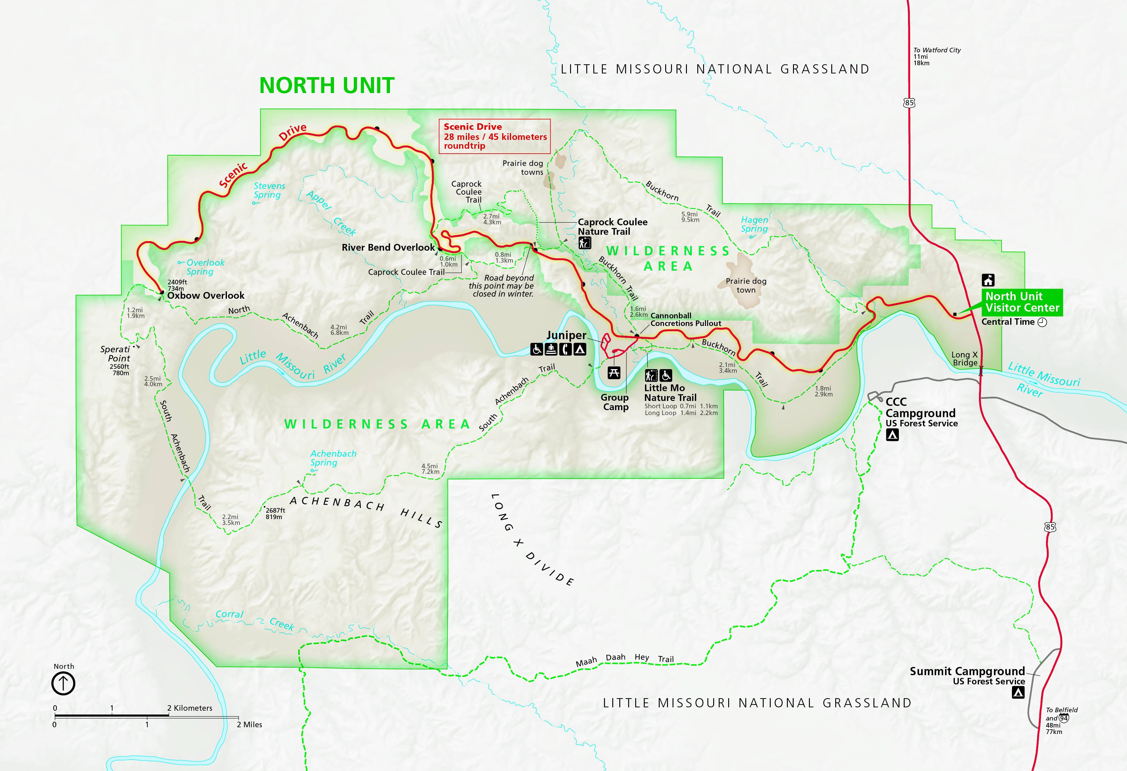
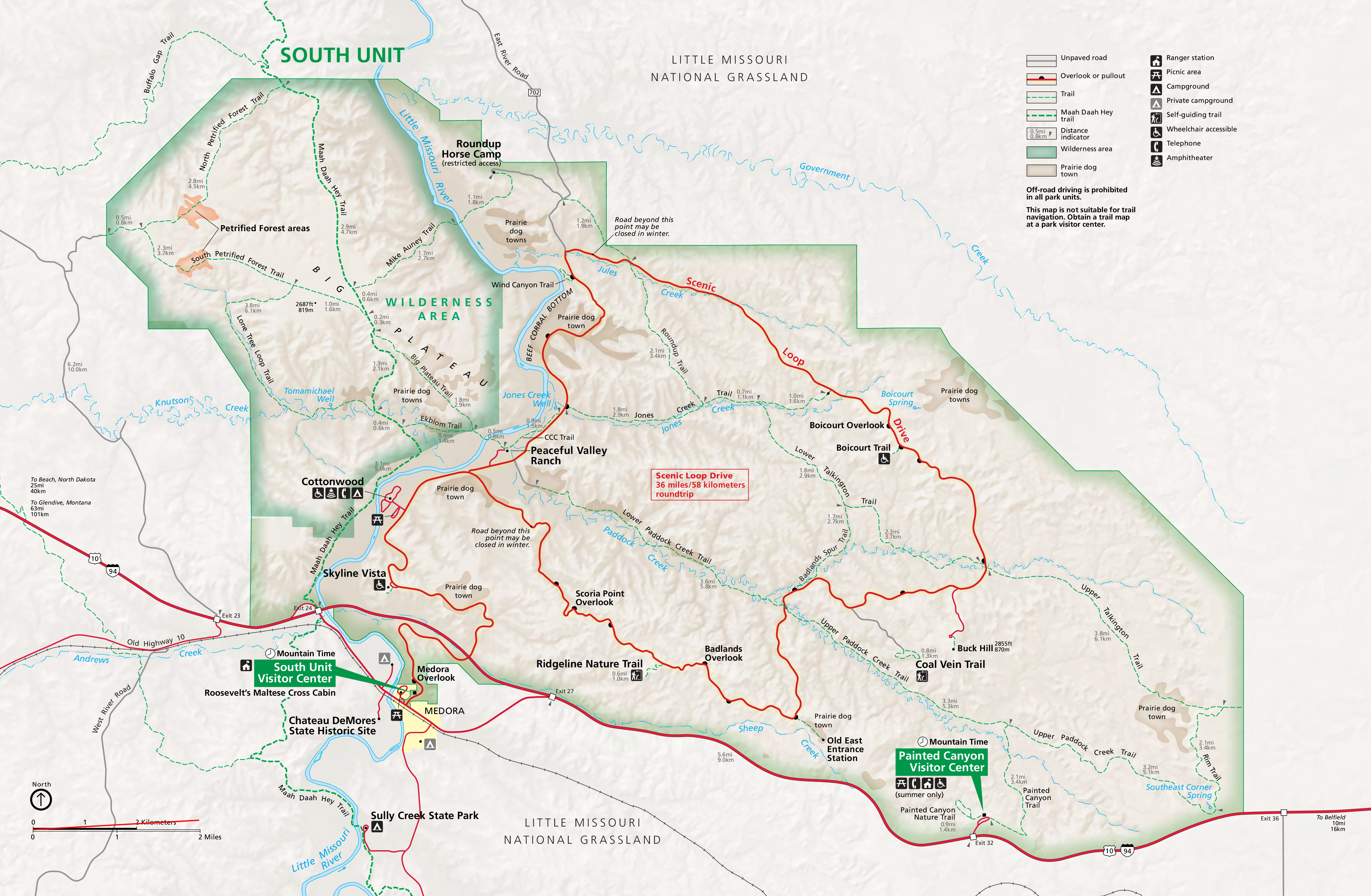
Official Park Maps
Below are the official park maps provided by the National Park Service. You can view either the original PDF file or a simple JPEG image file (some of these files can be quite large). Note that while these maps are useful for general navigation around the park, if you plan to do any hiking, you should really have a proper Theodore Roosevelt Trail Map.
