Newfound Gap Road (Part 1)
Newfound Gap Road is the road almost everyone who visits Great Smoky Mountains National Park will drive on. It is the section of US-441 that crosses the park north to south over the crest of the Great Smoky Mountains. It links the gateway towns of Cherokee on the North Carolina side and Gatlinburg on the Tennessee side.
We cover this road in two sections. Below is the first part, beginning at the Cherokee entrance and heading north to Clingman’s Dome Road. For the second section that leads on to the Gatlinburg entrance, see Newfound Gap Road Part 2.
Mile 0 – Cherokee Entrance
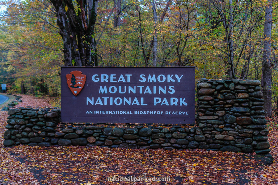
US-441 leaves the Qualla Indian Reservation and the town of Cherokee and shortly enters the park boundary at the entrance sign.
Mile 0.4 – Blue Ridge Parkway
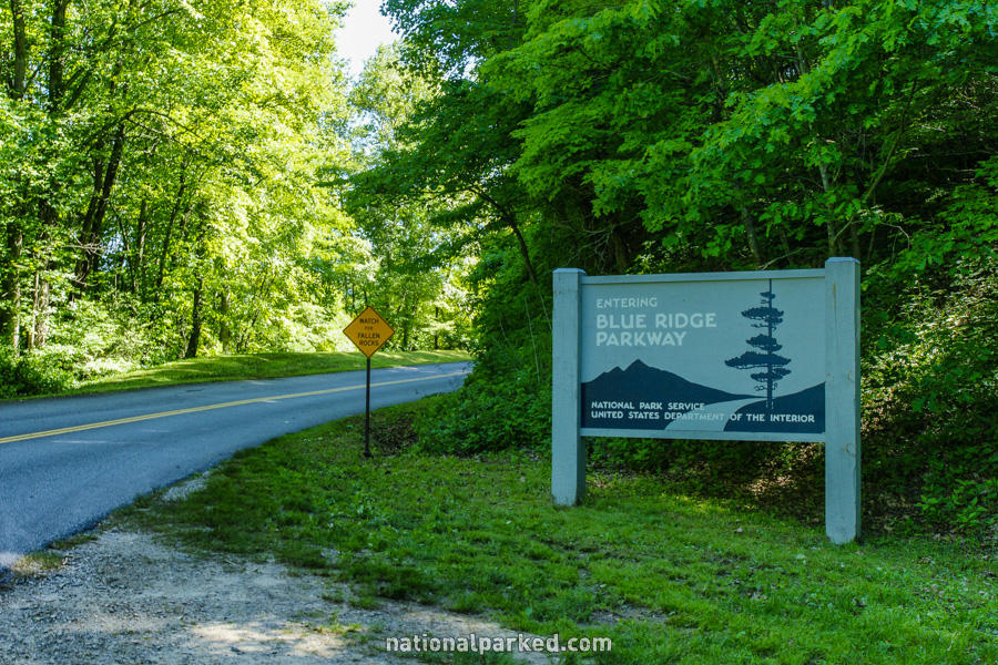
The beginning (or end) of the 469 mile long Blue Ridge Parkway is to the right. This extremely scenic highway is the most visited unit of the National Park Service. It connects Great Smoky Mountains National Park to Shenandoah National Park in Virginia.
Mile 1.1 – Oconaluftee Visitor Center
The Oconaluftee Visitor Center is on the right. There is a large parking area, but this is often full during the busy season. There is also a historic area behind the center as well as the Oconaluftee River Trail.
Mile 1.7 – Mingus Mill
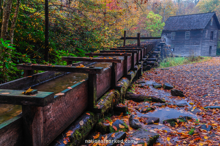
The short access road to the parking area for Mingus Mill is on the left. This is an old grist mill that is still in operation. The mill is usually open daily in the summer and on the weekends the rest of the year.
Mile 4.3 – Smokemont Campground
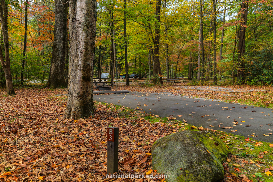
Access to the Smokemont Campground is on the right. This large campground is one of two in the park open all year. For more information see Great Smoky Mountains Camping.
Mile 6.2 – Collins Creek Picnic Area
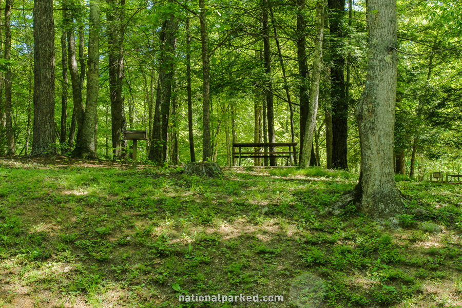
The Collins Creek Picnic Area is on the left.
Mile 8.1 – Kephart Prong Trailhead
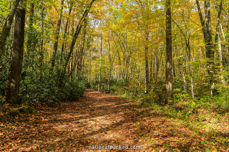
There are pulloff areas on both sides of the road for the Kephart Prong Trail. This is a great trail that follows along the beautiful Kephart Prong, making its way in two miles to a historic shelter.
Mile 16.8 – Clingman’s Dome Road
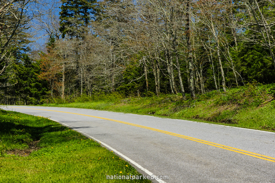
Clingman’s Dome Road is on the left. This seven mile long road leads near the top of Clingman’s Dome, the highest point in the park. This road is closed December 1st to March 31st due to snow and ice.
Newfound Gap Road Continues On
The road continues on to Newfound Gap, then heads downhill on its journey into the north side of the park. For this section, see Newfound Gap Road Part 2.