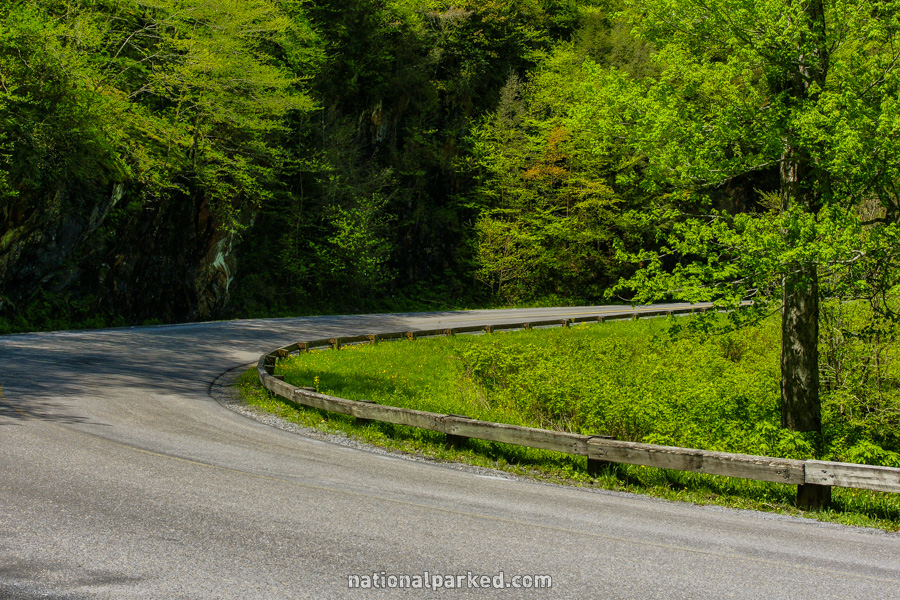
Little River Road
Little River Road is the main east-west road through Great Smoky Mountains National Park. It begins at its intersection with Newfound Gap Road shortly after it enters the park from the town of Gatlinburg. It follows along its namesake Little River for most of its length. The road continues beyond the Townsend Wye as Laurel Creek Road on its way to Cades Cove.
Mile 0 – Newfound Gap Road
The road begins at its intersection with Newfound Gap Road.
Mile 0.1 – Sugarlands Visitor Center
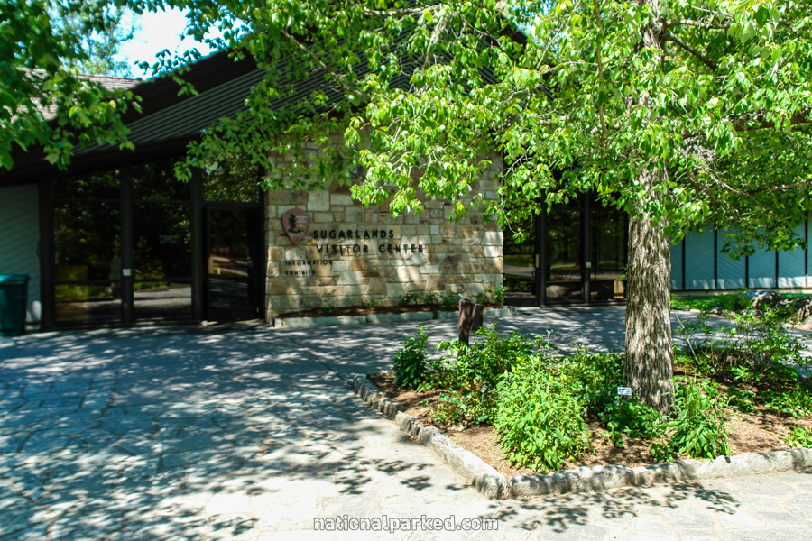
The road immediately passes by the Sugarlands Visitor Center area. There are immense parking areas here, but even these can fill quickly in the summer months and in October.
Mile 0.9 – Quiet Walkway
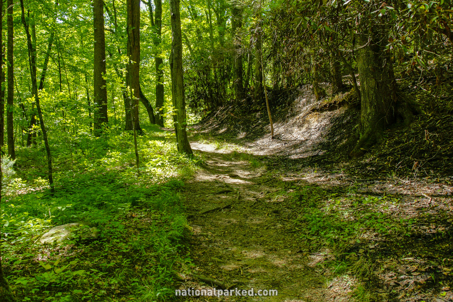
The first of several Quiet Walkways on the road is passed here. These trails are short walks to various features, with parking for only a few vehicles. They are designed to offer a brief respite from the often stifling crowds of the park. Additional walkways are at miles 1.4 and 4.4.
Mile 3.7 – Laurel Falls Trailhead
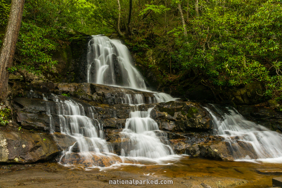
Large parking areas line both sides of the road for the Laurel Falls Trail. This may be the most popular hike in the park, quite the statement for a park as crowded as Great Smoky Mountains. In the summer or October, you may have to park far from the trailhead down the road, or wait until another time. The trail itself is paved and all uphill, but mostly at a mild incline. See Great Smoky Mountains Hiking Trails for more information.
Mile 4.8 – Elkmont Campground
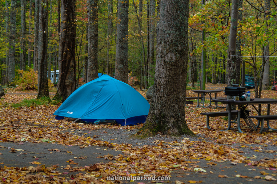
The access road to Elkmont Campground is on the left. It is a short drive of about a mile back to the campground itself. See Great Smoky Mountains Camping for more information.
Mile 9.6 – Metcalf Bottoms Picnic Area
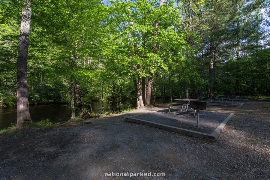
The Metcalf Bottoms Picnic Area is on the right. This is a pleasant wooded area bordered by the Little River. The Greenbrier Road also starts here, across a one-lane bridge.
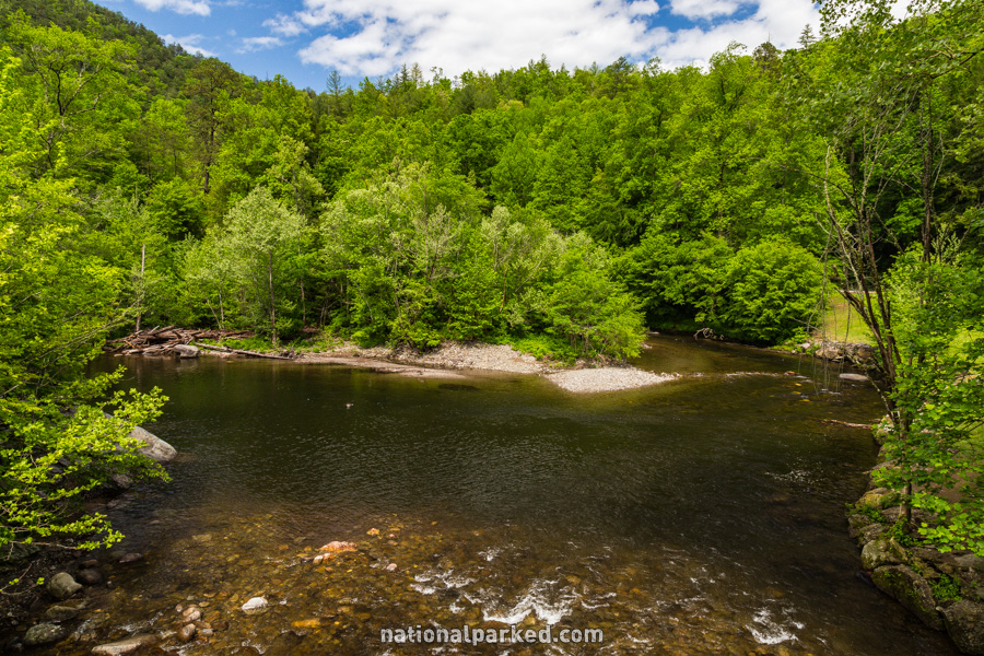
Mile 11.6 – The Sinks
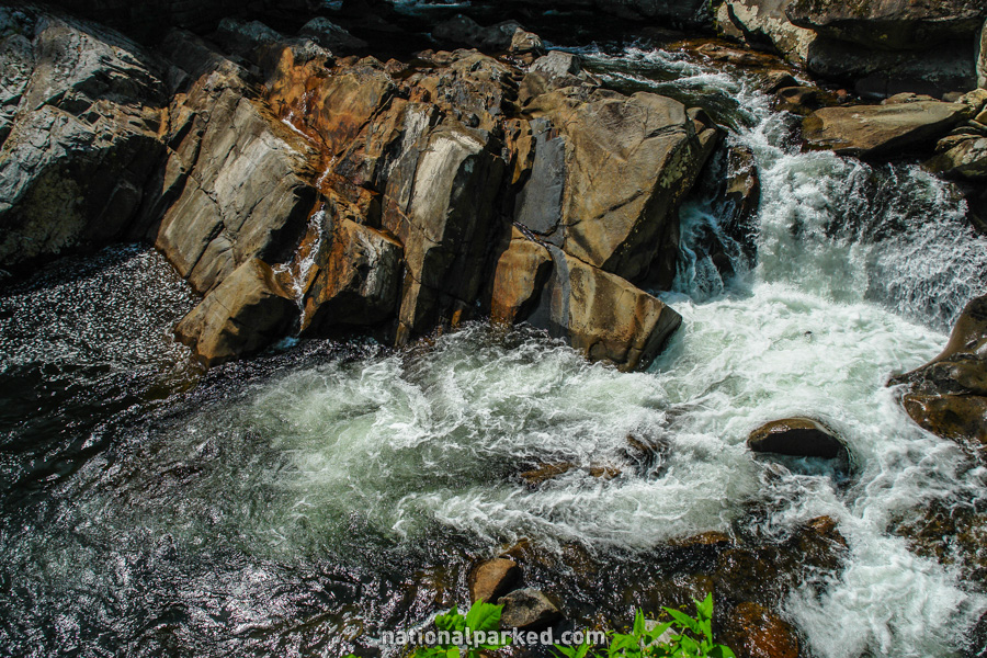
Just before the road goes over the Little River on a bridge is a small parking area on the left. This area of the river is known as “The Sinks”. It is a scenic area of cascades and deep pools. The traffic situation in this area can be quite dangerous, so use caution whether stopping here or not.
Mile 12.8 – Meigs Falls
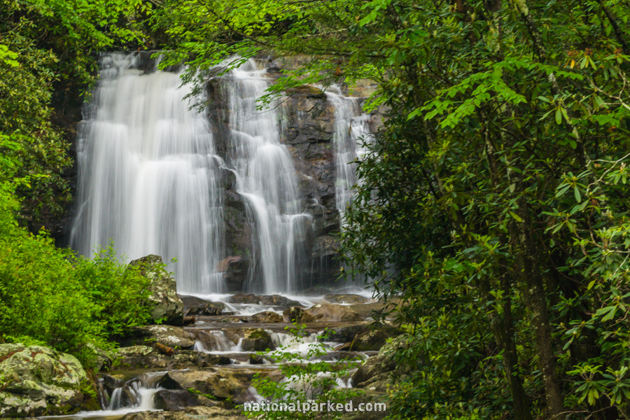
A long, walled pulloff is on the left side of the road. Here, a side stream enters Little River. A short way up this side stream is the often overlooked, and unmarked, Meigs Falls. During the late spring and summer, when vegetation is at its fullest, the falls may be all but hidden from view.
Mile 17.5 – Townsend Wye
The road arrives at an area known as the Townsend Wye. Here, the Little River meets Laurel Creek and continues on a northern course out of the park alongside TN-73 to the Townsend Entrance. The road continues straight ahead, now known as Laurel Creek Road.