Cades Cove Loop Road
The Cades Cove Loop Road is a single lane, one-way paved road that leads through a small area of Great Smoky Mountains National Park known as Cades Cove. This area is highly visited, to put it mildly, with over two million people a year using this one little road. During summers, October, and most weekends, expect the short drive to take 2 to 3 hours. Of course, this popularity is for good reason, as the cove is a beautiful and easily accessed area.
Mile 0 – Loop Road begins
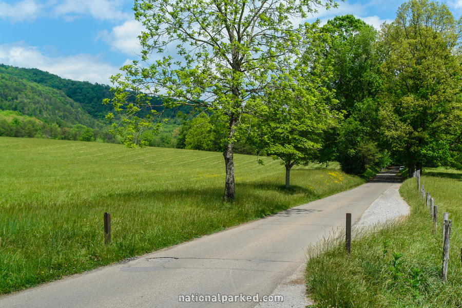
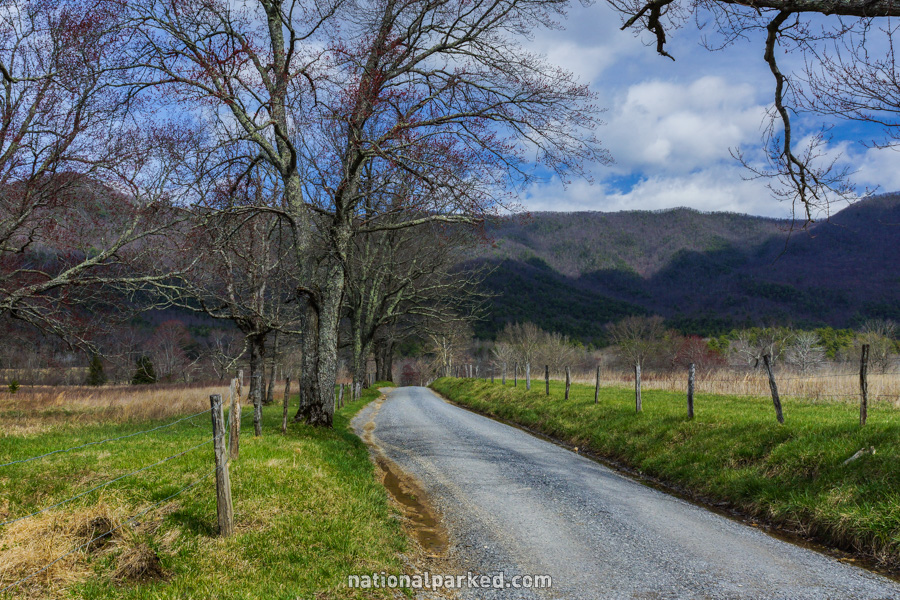
The loop begins as the Laurel Creek Road ends. For the next 10.2 miles the road is narrow and one-way. Two spots provide ways to cut off part of the loop and return to the beginning sooner, at Sparks and Hyatt Lane, described below.
Mile 0.9 – Sparks Lane
The Sparks Lane cut-off road lies to the left. This road leads to a point 1.6 miles from the end of the loop.
Mile 1.0 – John Oliver Cabin
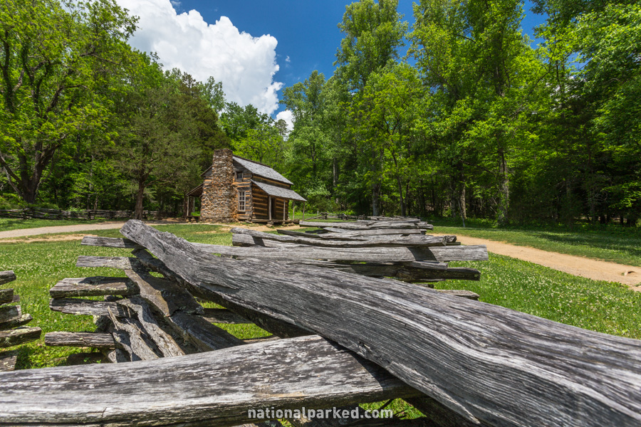
The road passes by parking for the John Oliver Cabin, the first of many opportunities to visit the historical buildings of the area. A short walk through the meadow is required for a close view.
Mile 2.1 – Primitive Baptist Church
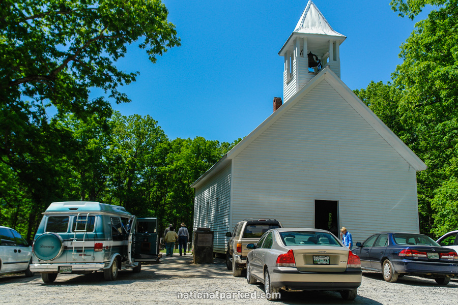
A short, unpaved road to the left leads to the Primitive Baptist Church. This church is still used, as can be seen by the picture to the left. The quarter mile road is two way and narrow, so use caution.
Mile 2.5 – Methodist Church
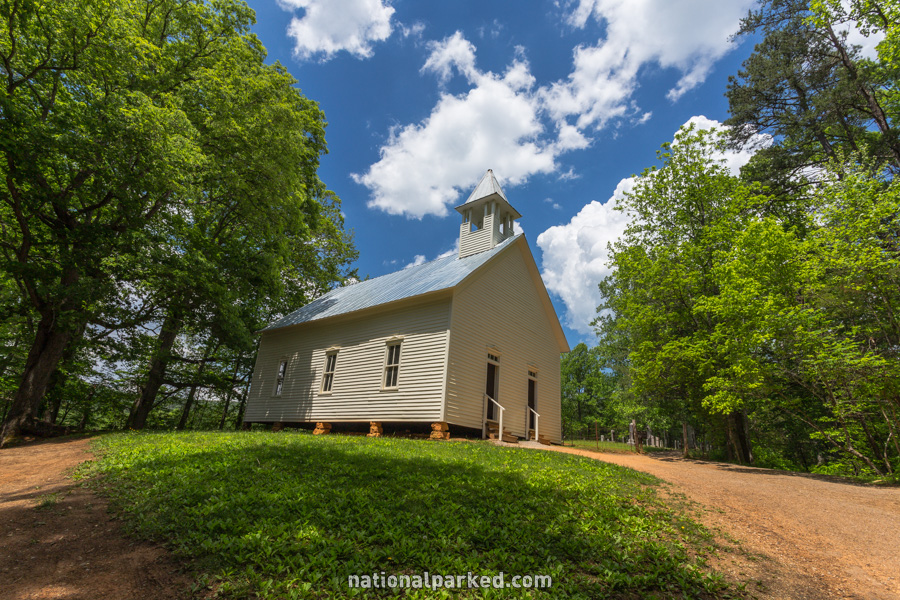
The next stopping area is for an old Methodist Church. A cemetery lies behind it.
Mile 2.8 – Hyatt Lane
The Hyatt Lane cut-off road is on the left. This is the second, and last, chance to take some distance, and time, off of the loop. It rejoins the loop 3.5 miles from its end.
Mile 3.0 – Missionary Baptist Church
Yet another historical church, this one the Missionary Baptist Church, is on the left. To the right is Rich Mountain Road, an unpaved, one-way road leading out of the park.
Mile 5.0 – Abrams Falls Trailhead
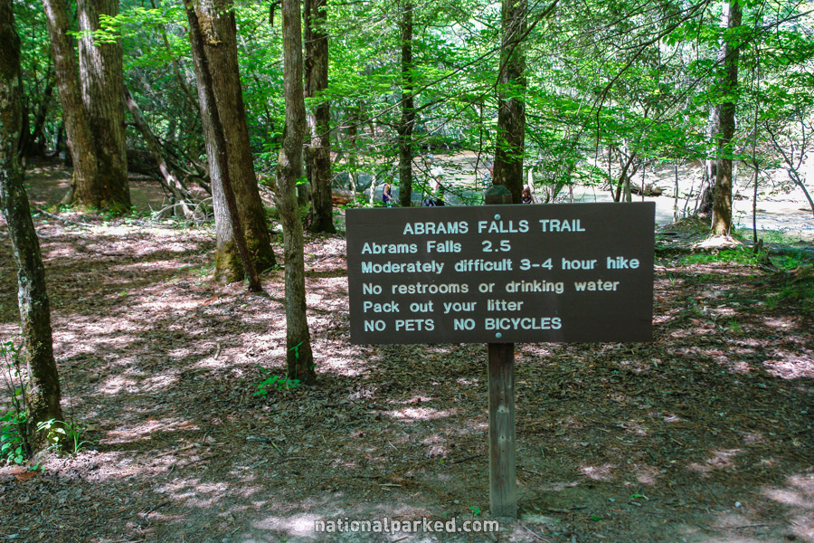
After a time passing by a number of small parking areas, a road to the right leads quickly to the Abrams Falls Trailhead. A large parking area is here, but it is usually full during summer and October. The hike is a five mile roundtrip hike of moderate difficulty. See Great Smoky Mountains Hiking Trails for more information.
Mile 5.4 – Cable Mill
The turnoff to the Cable Mill area is on the right. This is a historical district, and also the location of the Cades Cove Visitor Center. Just past the parking area is the Parsons Branch Road, a scenic, unpaved, one-way road leading out of the park.
Mile 7.3 – Tipton Place
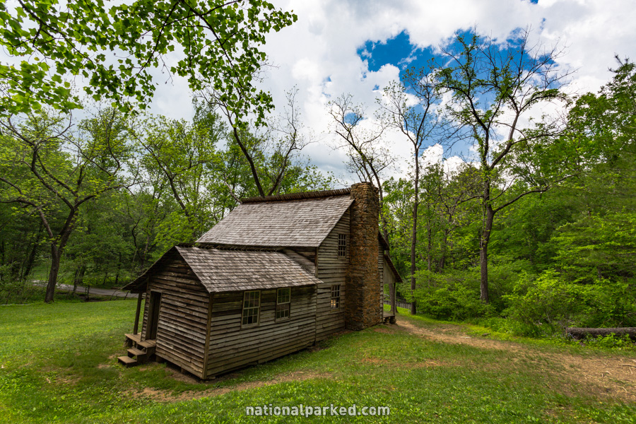
An old homestead, the Tipton Place, is on the left.
Mile 8.2 – Carter Shields Cabin
The road passes by the Carter Shields Cabin.
Mile 10.2 – Loop Road ends
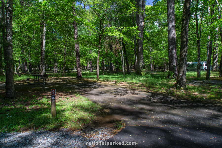
The one-way loop road comes to an end. A right turn leads to the Cades Cove Campground, shown to the left. A left turn leads quickly back to Laurel Creek Road.