Hiking Trails in Black Canyon of the Gunnison
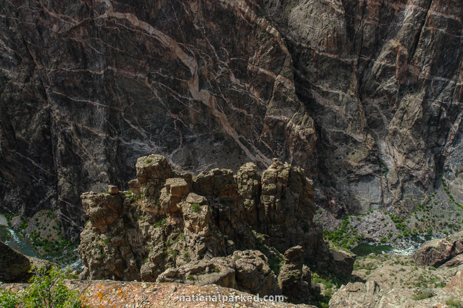
Hiking opportunities in Black Canyon of the Gunnison are rather limited. There are countless routes down into the canyon itself, but these are extremely strenuous routes that require special skills, equipment, and permits. Hiking is limited to a few trails on the rims. All of the hikes listed here are accessed from the south rim.
Hiking distances given below are total, roundtrip distances unless otherwise stated. Difficulties are only a general guideline, for an adult in good condition, and do not take into account trail length. We strongly recommend you also have a good Black Canyon of the Gunnison Trail Map with you.
Cedar Point Nature Trail
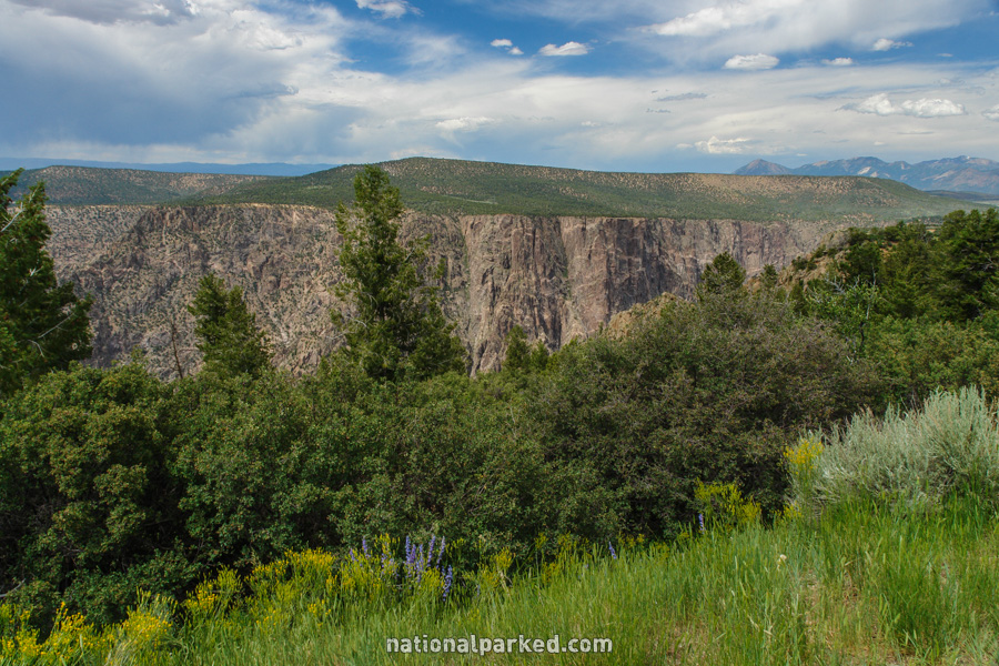
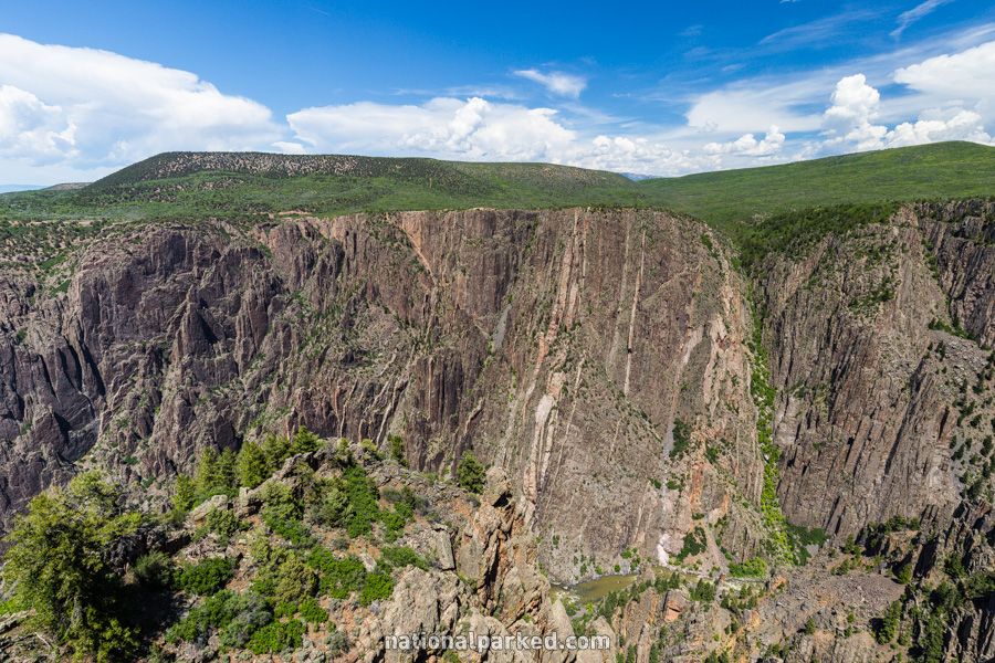
The Hike: This trail is one of the many short walks to the excellent viewpoints along the south rim. What makes this one different is the interpretive materials along the way. Numerous trailside signs point out the various plant and animal life along the trail. The trail ends with two overlooks directly across from the Painted Wall. The addition of the exhibits makes Cedar Point probably the best choice if you want to choose only one of the overlooks requiring a walk away from the road.
Rim Rock
The Hike: This simple trail follows the rim between these two points. It passes Tomichi Point at about the halfway point. It winds in and out of the pygmy pinyon juniper forest offering frequent views into the canyon below.
Warner Point Nature Trail
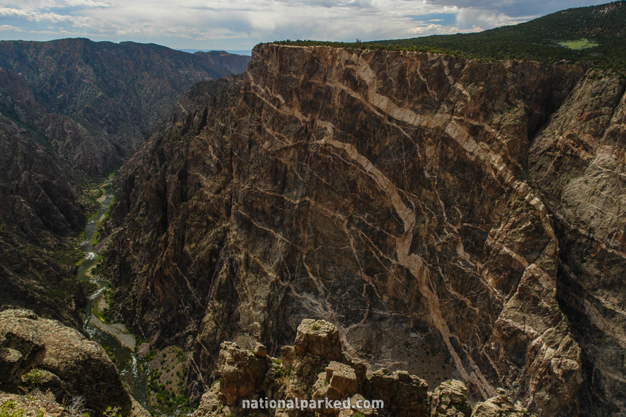
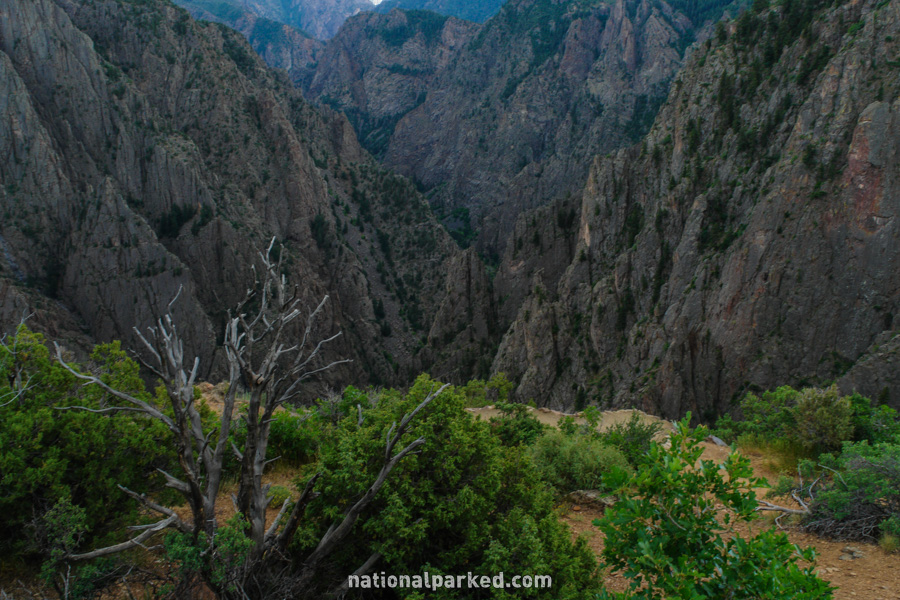
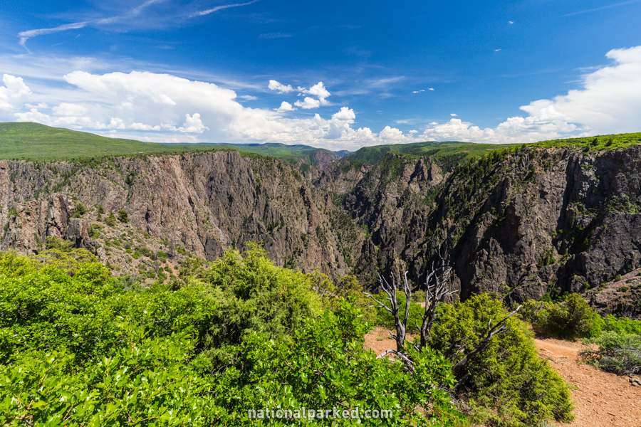
The Hike: The walk to the Warner Point area is the longest to any of the named viewpoints on the south rim. It has been made into a self-guiding nature trail, with a pamphlet keyed to numbered posts available at the trailhead. It descends and ascends through pinyon juniper forest, with views of the area mountain ranges frequent. The trail actually ends a short distance from Warner Point, where you get good views into the canyon.