- This page contains affiliate links. Purchases made through them may earn us a small fee.
Getting to Big Bend National Park
Driving to Big Bend
Big Bend National Park is isolated in the extreme. From Fort Stockton, it is a drive of more than two hours and 125 miles via US-385 south. The nearest major city is El Paso, more than five hours and 300 miles away via I-10 east, US-90 south, and US-385 south.
If you’d like to plot directions from your location use the interactive map below. The marker shows the location of the Panther Junction Visitor Center in Big Bend.
Flying to Big Bend
As already mentioned above, Big Bend is one of the most remote parks in the United States. It is several hours from any airport with commercial service.
Below you will find a list of airports most convenient for a trip to Big Bend, listed in order of distance. For each airport we provide direct links to browse available flights and cars. For price searches, simply enter your origin and dates.
Midland International Air & Space Port (MAF)
Located in Midland, Texas, 196 miles by car to Big Bend
Midland flight schedule and price search
Midland available rental cars and price search
El Paso International Airport (ELP)
Located in El Paso, Texas, 288 miles by car to Big Bend
El Paso flight schedule and price search
El Paso available rental cars and price search
San Antonio International Airport (SAT)
Located in San Antonio, Texas, 375 miles by car to Big Bend
San Antonio flight schedule and price search
San Antonio available rental cars and price search
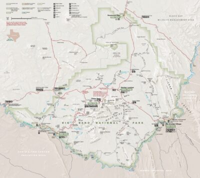
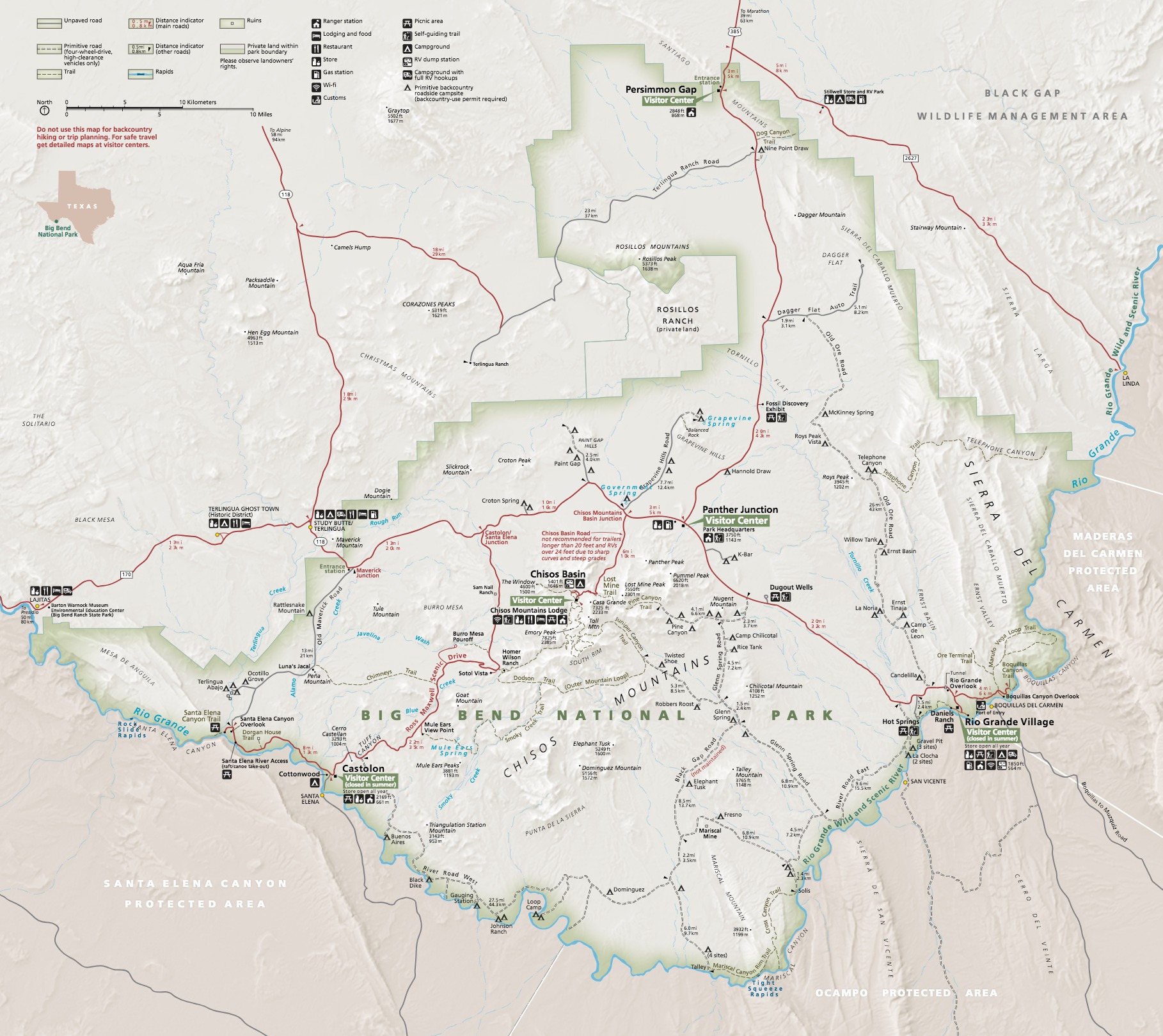
Official Park Map
Below is the official park map provided by the National Park Service. You can view either the original PDF file or a simple JPEG image file (some of these files can be quite large). Note that while this map is useful for general navigation around the park, if you plan to do any hiking, you should really have a proper Big Bend Trail Map.