Badlands Loop Road (Part 1)
The Badlands Loop Road is the easiest way to see the park, and is in fact the only part many people ever see. It winds 28 miles through the park. We cover it in two parts here. Below is the first part, starting at the Pinnacles Entrance south of the town of Wall, and ending at the Panorama Point parking area, near the halfway point of the drive. For the second part, to its end near I-90, see Badlands Loop Road Part 2.
Mile 0 – Pinnacles Entrance Sign
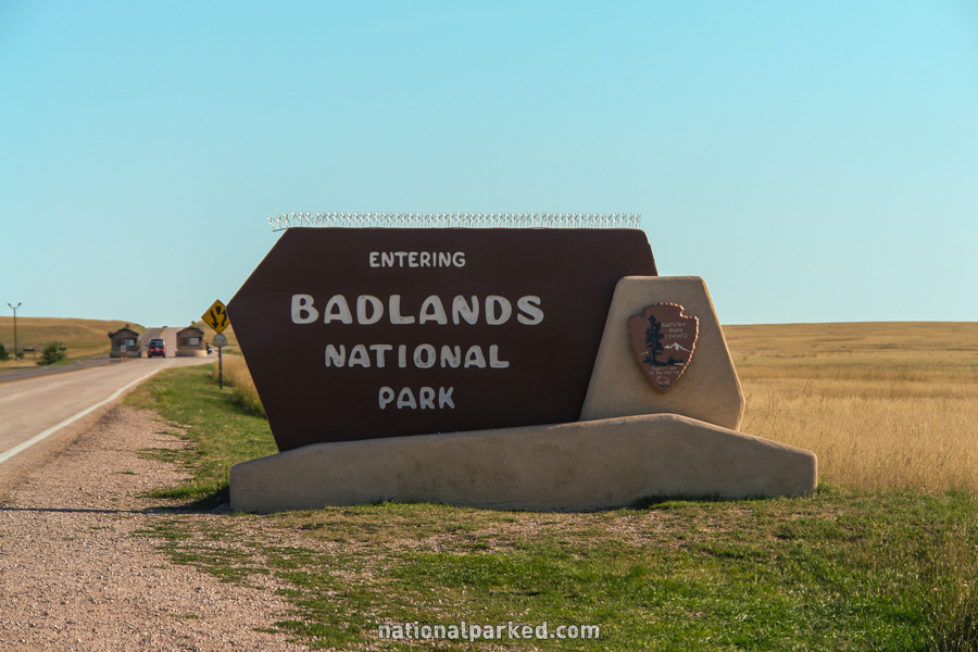
The entrance sign welcomes you to the Pinnacles Entrance of Badlands National Park.
Mile 0.2 – Pinnacles Entrance Station
The road passes through the Pinnacles Entrance Station. The park entrance fee must be paid or a valid pass shown.
Mile 0.7 – Sage Creek Rim Road
The Sage Creek Rim Road is on the right. This is an unpaved road, but it is usually in fairly good shape for the first several miles. Ask at a visitor center or entrance station for conditions before you use it. It leads to several impressive overlooks (including Hay Butte, at left), and the Roberts Prairie Dog Town, among other places. Roberts is a very large town right by the road. At our last visit, several pronghorn were on the road.
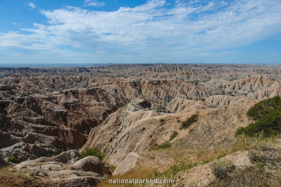
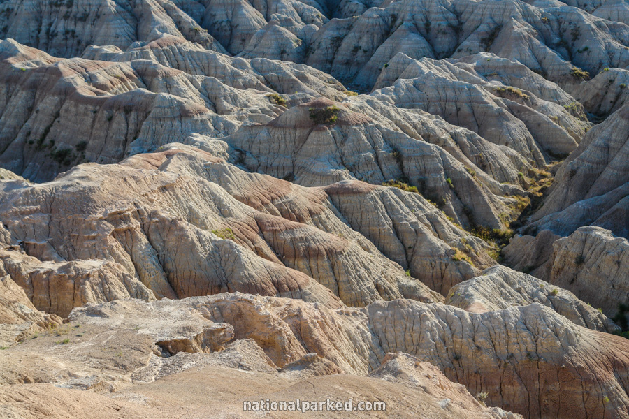
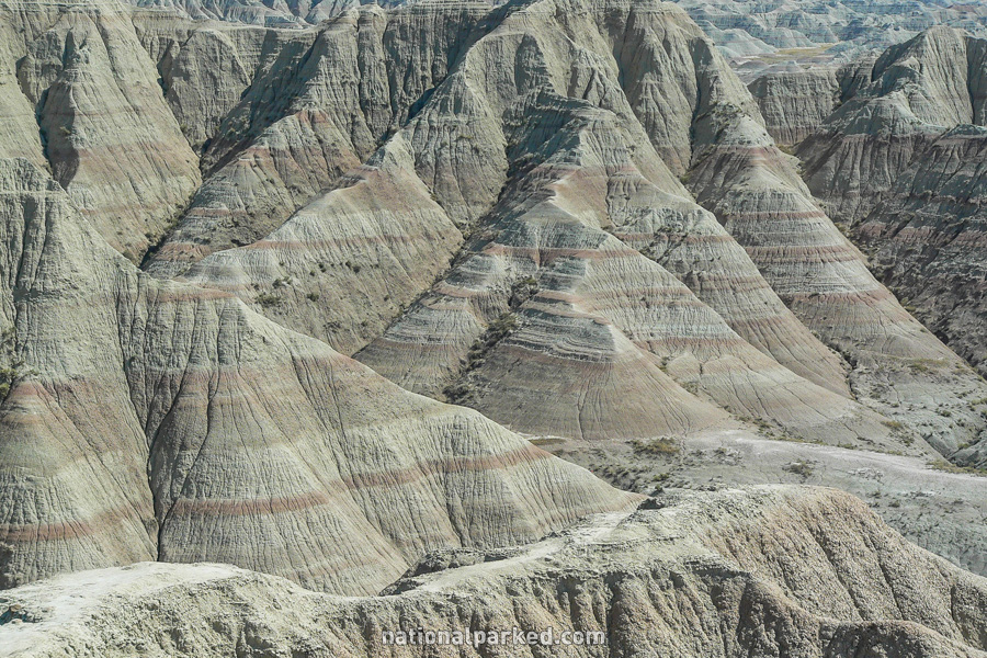
Mile 1.1 – Pinnacles Overlook
The road passes by the first of many overlooks. This is the Pinnacles Overlook, named for a series of spire formations.
Mile 1.7 – Ancient Hunters Overlook
The Ancient Hunters Overlook is on the left.
Mile 4.1 – Conata Road
The Conata Road is on the right. This unpaved road leads out of the park 9 miles to join SD-44.
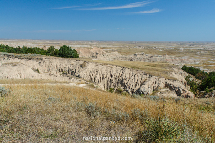
Mile 4.4 – Yellow Mounds
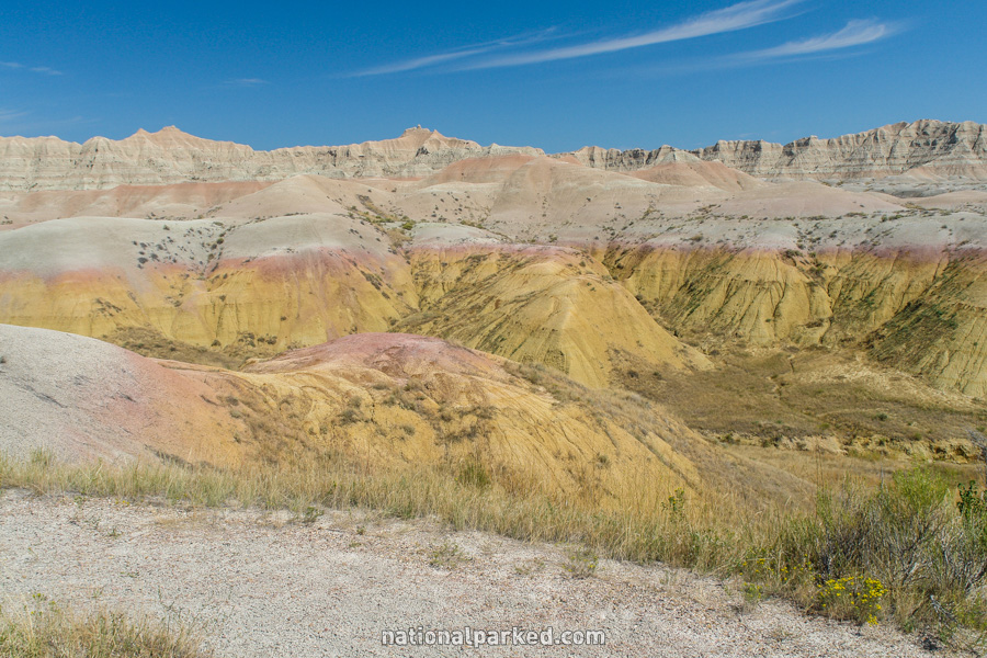
The road winds through the Yellow Mounds area before coming to an overlook of it here.
Mile 5.0 – Conata Basin Overlook
The road passes by the Conata Basin Overlook.
Mile 8.0 – Prairie Dog Town
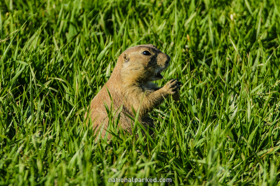
The road passes through a prairie dog town area. These animals are very entertaining to watch, but pull off to the side to do so. They also tend to cross the road with no warning, so drive through this area very carefully. Do not feed them, as human food can kill a prairie dog, and earn you a substantial fine as well.
Mile 9.5 – Burns Basin Overlook
The road passes by the Burns Basin Overlook.
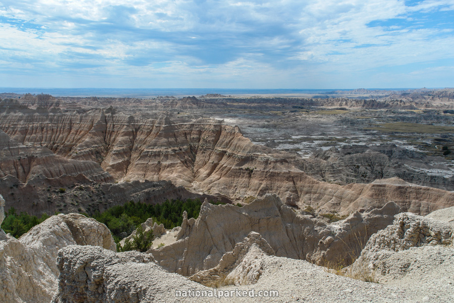
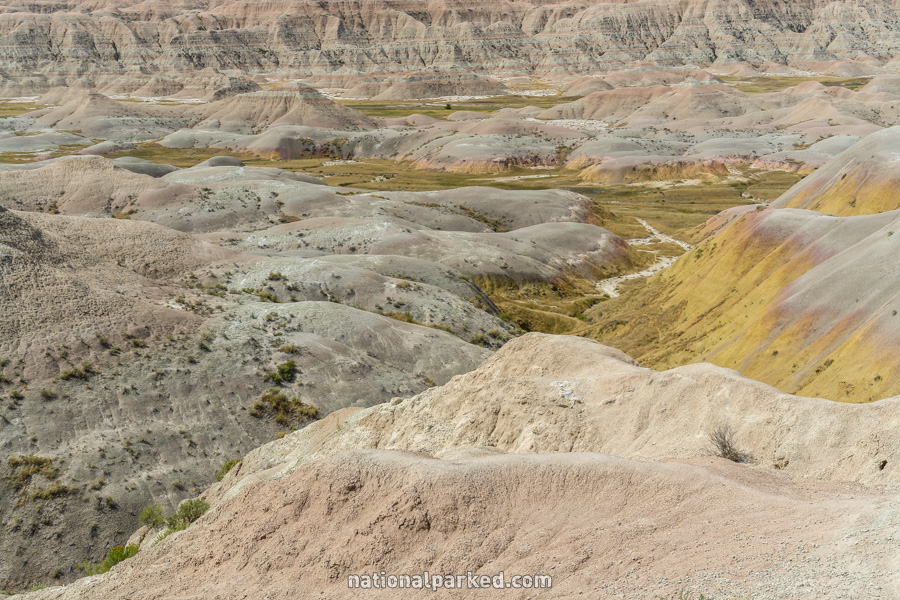
Mile 13.7 – Panorama Point
The road passes by Panorama Point. As the name suggests, this is one of the best vistas in the park.
The Badlands Loop Road Continues On
The Badlands Loop Road continues to its end near I-90. For that section, see Badlands Loop Road Part 2.