South Rim Road
The South Rim Road in Black Canyon of the Gunnison follows a path near the canyon rim and past many viewpoints. Most of the viewpoints require a short walk on a trail to reach the viewpoint. Information and photos of most of these spots can be found below.
Mile 0 – Park Entrance
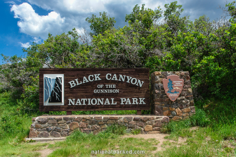
The entrance sign welcomes you to Black Canyon of the Gunnison National Park. Shortly beyond this point, the road passes through the entrance station. The park entrance fee must be paid or a valid pass shown.
Mile 0.2 – East Portal Road
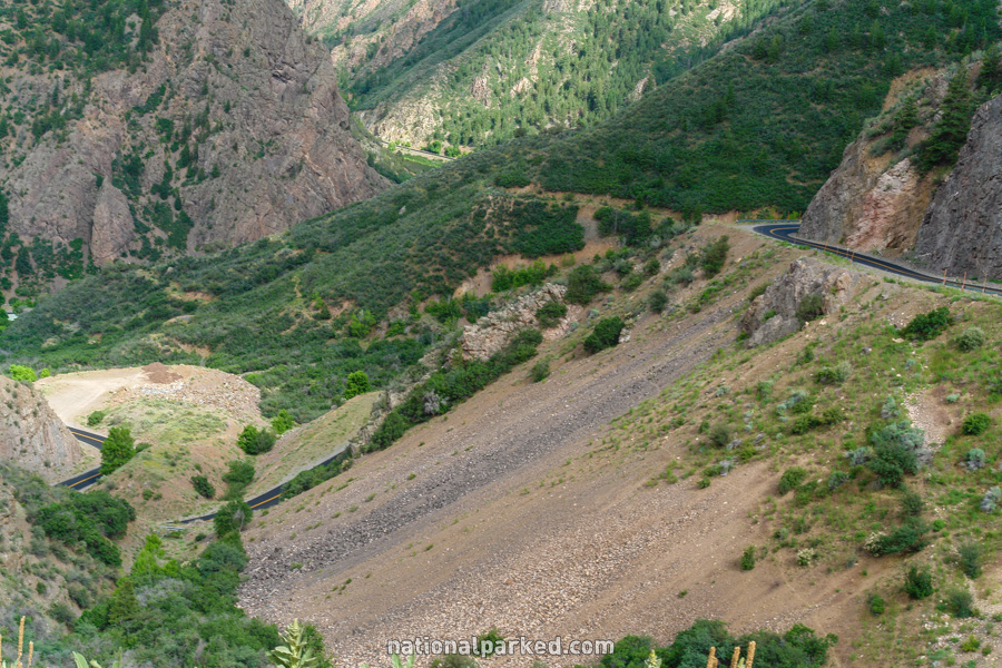
Immediately past the entrance station, on the left, is the East Portal Road. This road descends on an extremely steep grade to the Gunnison River.
Mile 0.5 – South Rim Campground
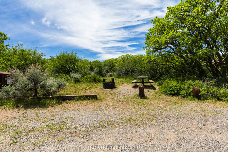
A road to the right leads quickly to the South Rim Campground. This is the only camping available on the south rim. See Black Canyon of the Gunnison Camping for more information.
Mile 1.2 – Tomichi Point
The first viewpoint of the Black Canyon is on the right. Tomichi Point is probably the viewpoint that requires the least amount of effort, being right at the parking area. The midpoint of the Rim Rock Trail passes through here.
Mile 1.5 – Visitor Center
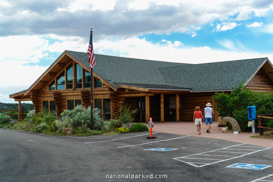
The parking area for the visitor center is on the right. This recently constructed facility offers exhibits, a bookstore, and a short film, as well as the permits necessary to descend into the canyon. A great view can be had from the back porch, or you can walk down a short trail to Gunnison Point for a spectacular look into the canyon. The Rim Rock Trail begins or ends here. See Black Canyon Hiking for more information.
Mile 3.3 – Pulpit Rock
The parking area for Pulpit Rock is on the right. The overlook here is on a section of rock jutting out from the rim, seen to the left.
Mile 4.0 – Cross Fissures
A pullout area on the right offers access to the Cross Fissures viewpoint, the first of three viewpoints in quick succession. A short walk is required to reach the viewpoint.
Mile 4.1 – Rock Point
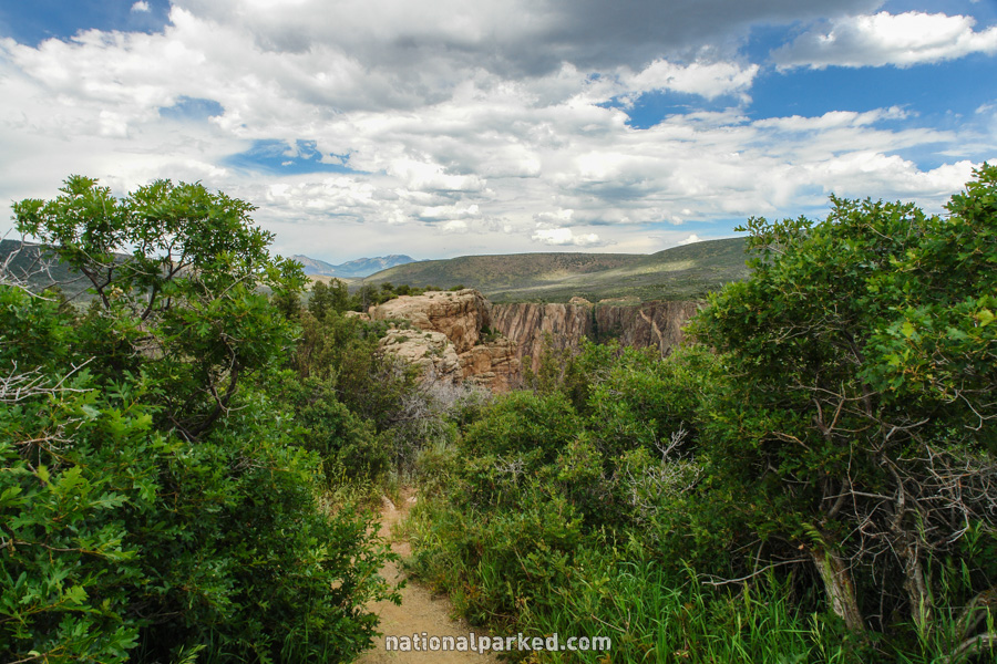
Just beyond the stopping point for Cross Fissures is another pullout area for Rock Point. Another short walk is necessary to reach the overlook. A bit further down the road is the pullout for Devil’s Overlook.
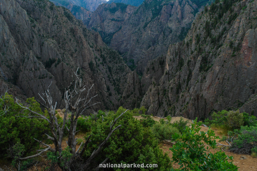
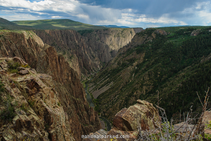
Mile 5.2 – Chasm View
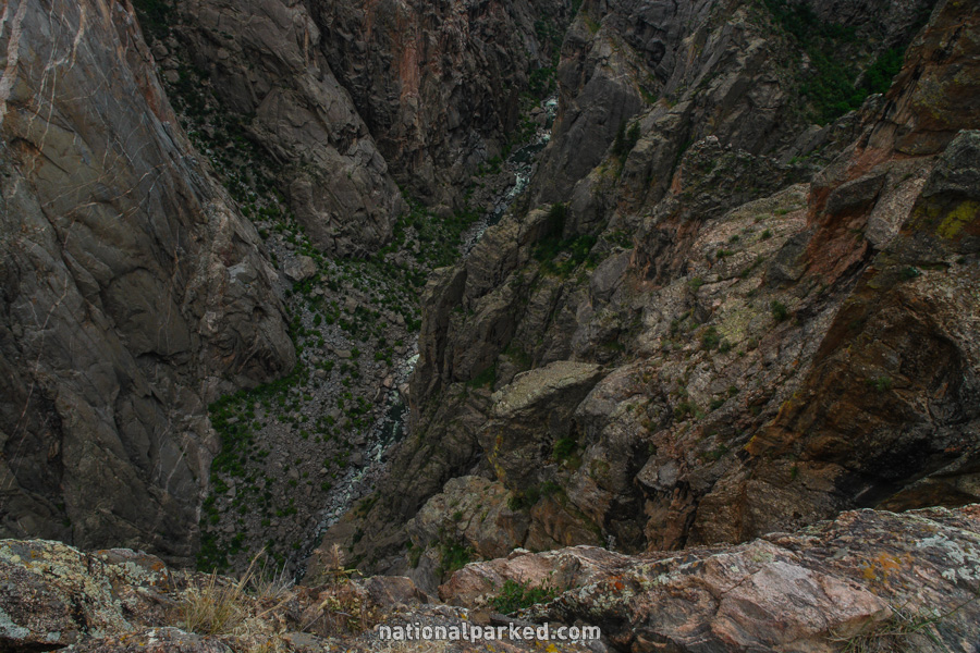
Another parking area on the right is for Chasm View. This viewpoint is at a bend in the canyon where the walls close to only 1,100 feet apart.
Mile 5.3 – Painted Wall
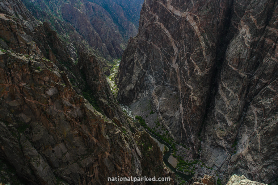
Just past the Chasm View area is another viewpoint for the Painted Wall. The Painted Wall is the highest cliff in Colorado at a height of 2,270 feet. Its colorful bands are formed by pegmatite streaked through the canyon’s gneiss walls.
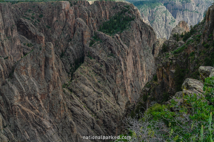
Mile 5.7 – Cedar Point
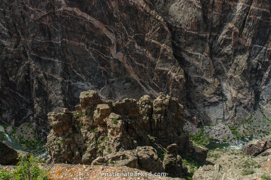
The next area is for Cedar Point. The walk to this viewpoint is actually the Cedar Point Nature Trail, mentioned on Black Canyon of the Gunnison Hiking. Dramatic views of the Painted Wall are available here.
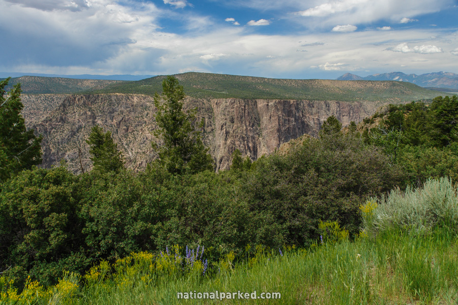
Mile 6.7 – Sunset View

The next parking area is for Sunset View. As the name implies, this is the best place to watch the sunset from. There is a picnic area here as well.
Mile 7.6 – High Point
The road goes into a short one-way section and ends at the High Point parking area. The canyon is at its deepest here at 2,660 feet. There is also a picnic area here. Just past the first parking area, the Warner Point Nature Trail heads into the pinyon juniper forest. For more information see Black Canyon of the Gunnison Hiking.