Hiking Trails in Olympic
Olympic has an almost endless network of backcountry trails and hiking routes. With very few exceptions, these are difficult multi-day adventures. The hikes we cover below are all of the dayhike variety.
Hiking distances given below are total, roundtrip distances unless otherwise stated. Difficulties are only a general guideline, for an adult in good condition, and do not take into account trail length. We strongly recommend you also have a good Olympic Trail Map with you.
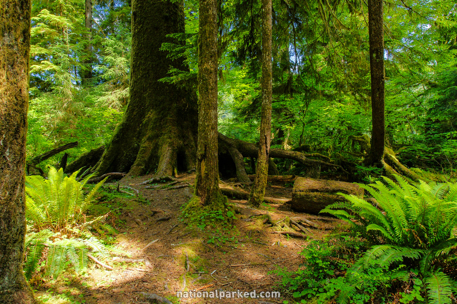
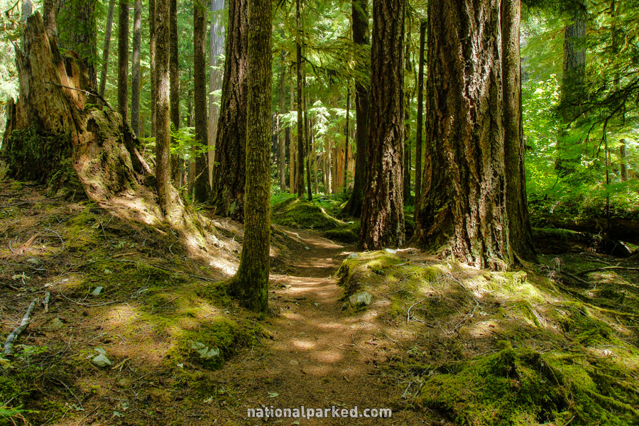
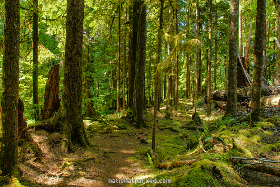
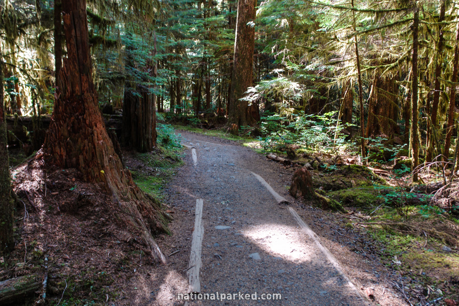
Ancient Groves Nature Trail
The Hike: This is an easy loop trail that winds through old-growth forest. It is a good choice for those without the time to hike the more involved Sol Duc Trail at the road’s end.
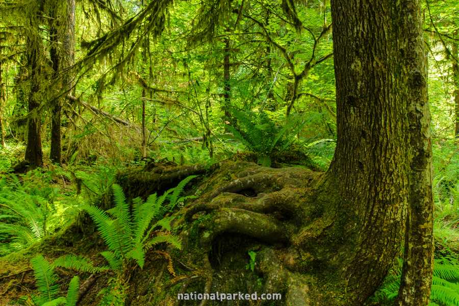
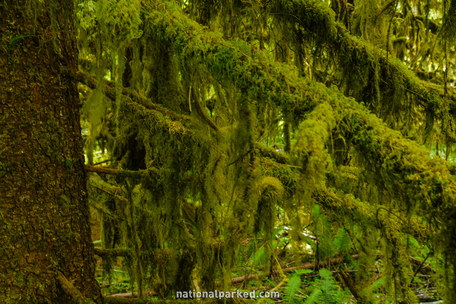
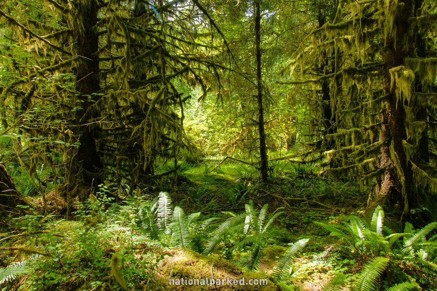
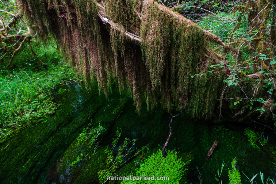
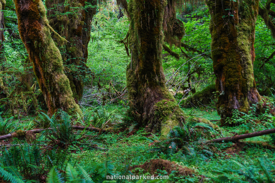
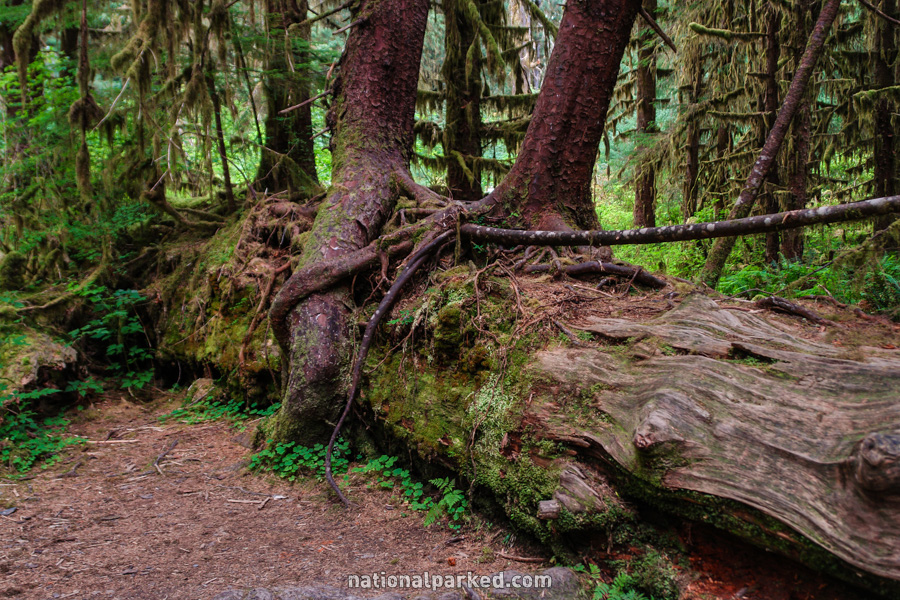
Hall of Mosses
The Hike: This route is world-famous for its dramatic rain forest scenery. Green covers everything in sight, from the ground, to the tree branches, to the streambeds. It is perhaps the signature short hike in the park, and is one every visitor needs to see. The adjacent Spruce Nature Trail, listed further down the page, offers much of the same scenery, and also provides informal access to the Hoh River.
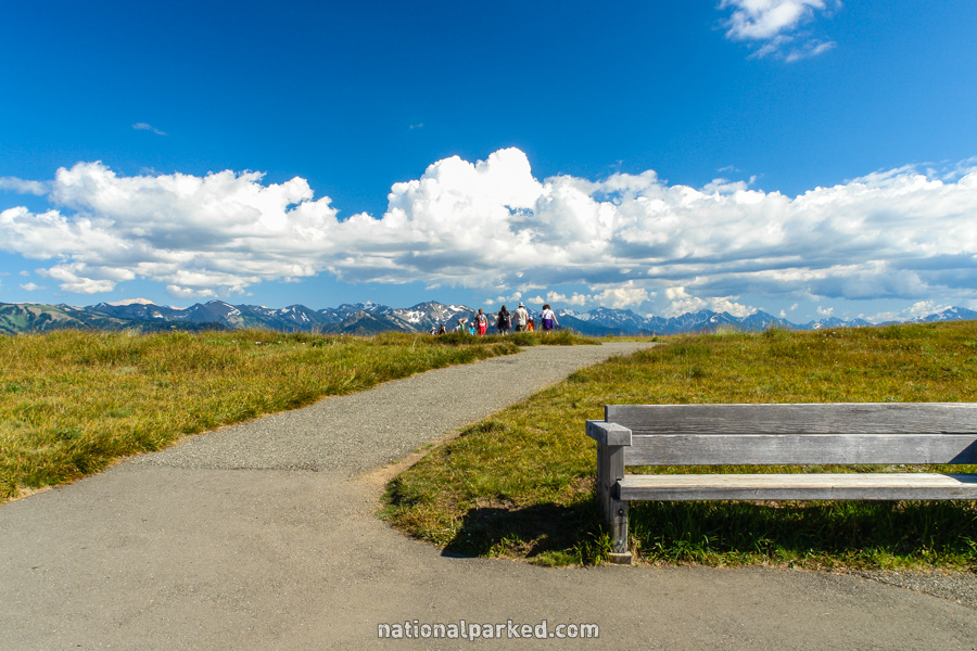
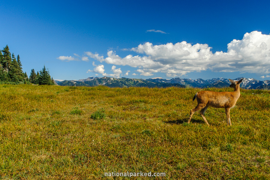
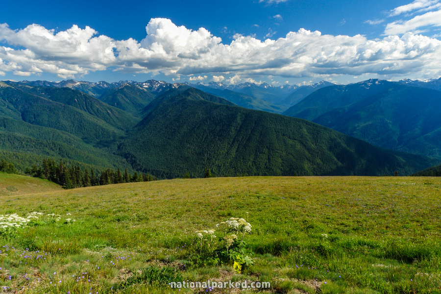
Hurricane Ridge Meadow Trails
The Hike: Rather than a single trail, this is a network of paved routes traversing the fragile alpine meadows. Panoramas of the area stretch in all directions. They are so impressive that even the local deer stop to take notice, as seen below.
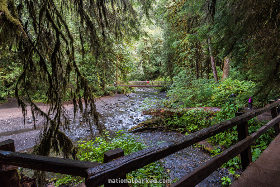
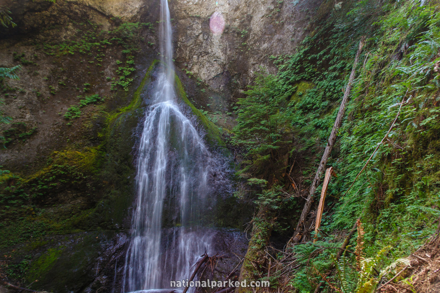
Marymere Falls
The Hike: The trail quickly goes under US-101 via a pedestrian tunnel and then heads through the forest to the falls. A short moderate ascent is necessary at the end in order to properly view the falls.
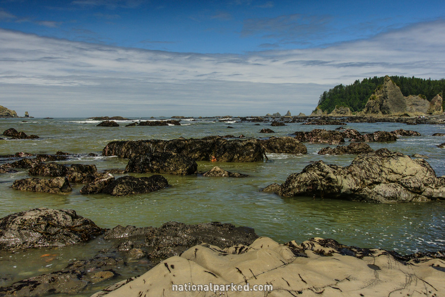
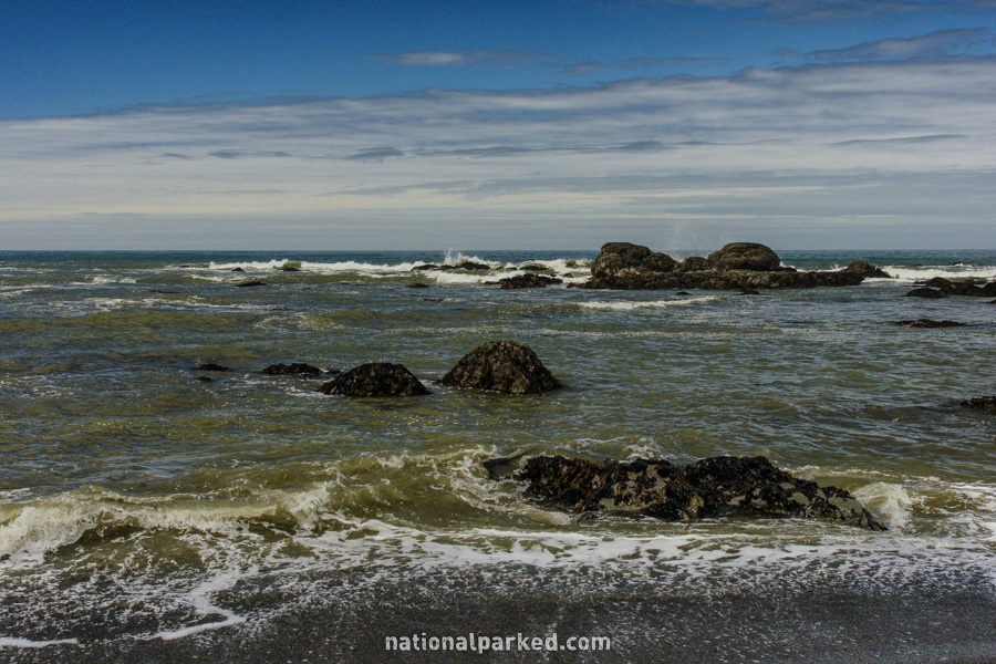
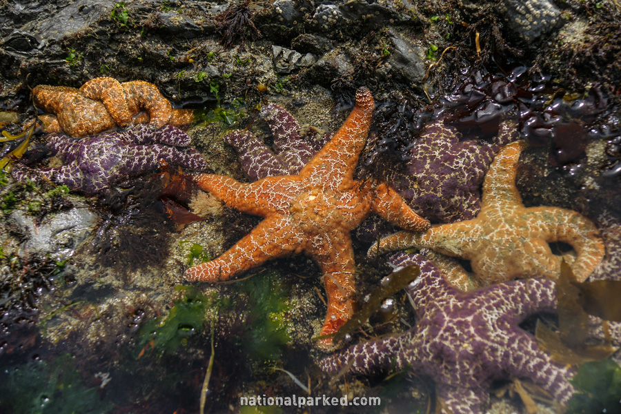
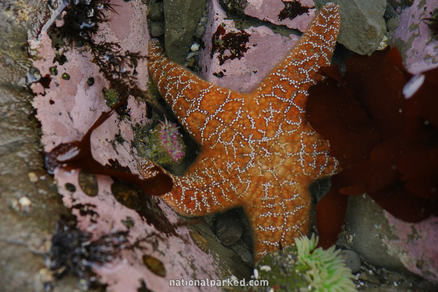
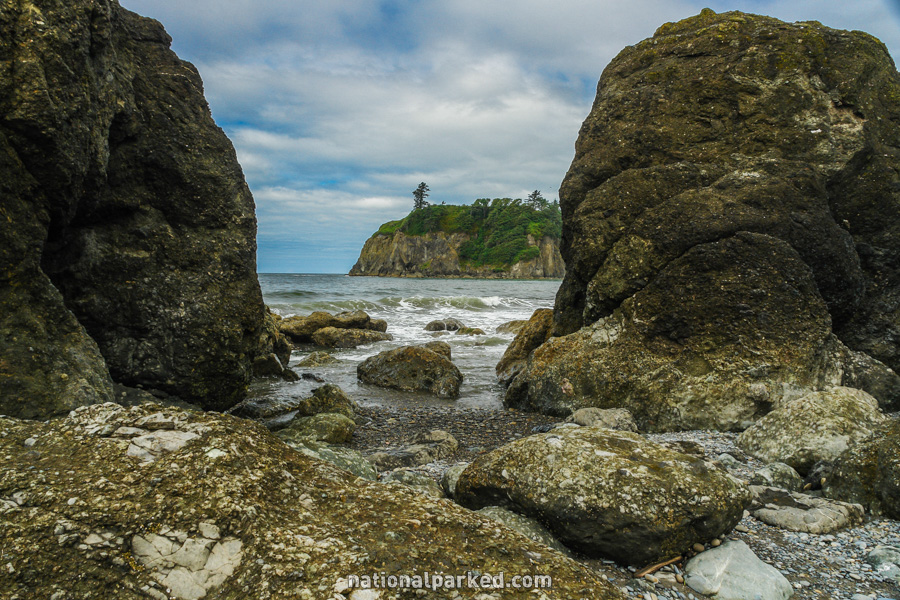
Rialto Beach
The Hike: The walk along the ocean shore can be up to 1.5 miles one-way to an area called Hole-in-the-Wall. Continuing north past this point is dangerous. This is one of the premiere coastal destinations in the park, along with Ruby Beach, below. Tidepools reveal all sorts of ocean life at lower tides.
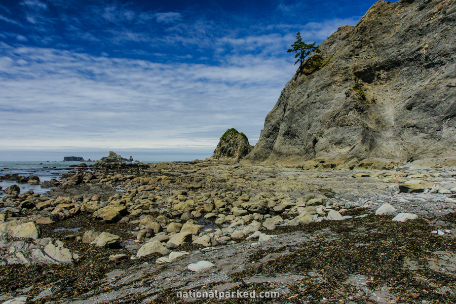
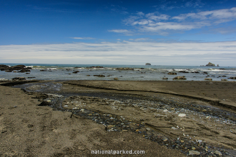
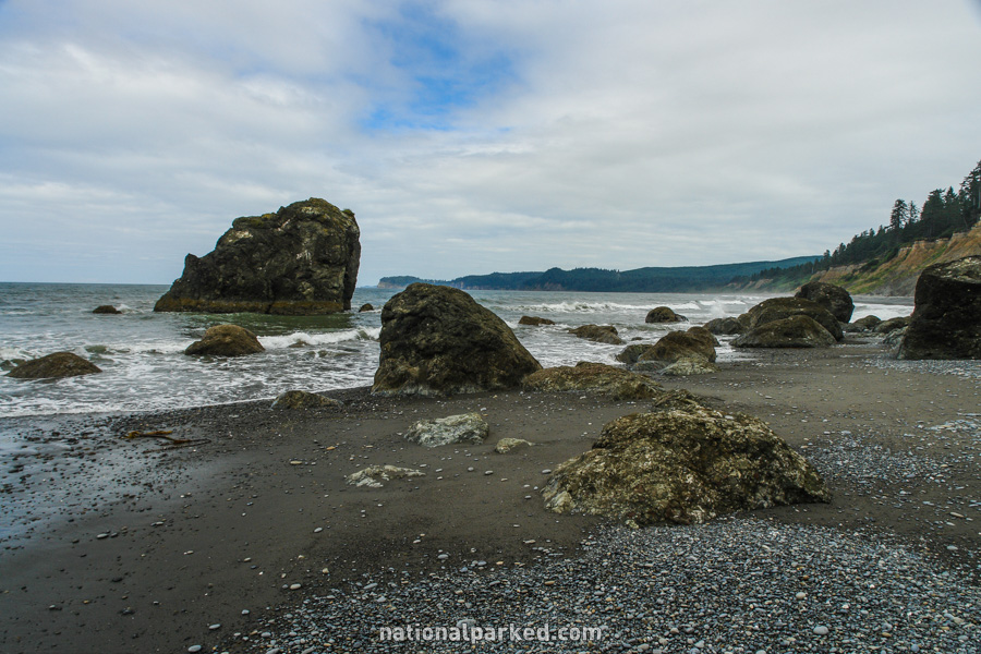
Ruby Beach
The Hike: Ruby Beach may be the most popular, and scenic, of the park’s easily accessible beaches. The route down to the beach is short but relatively steep. Just to the north of where the route reaches the beach, a stream enters the ocean and presents a challenge for anyone not wanting to get their feet wet.
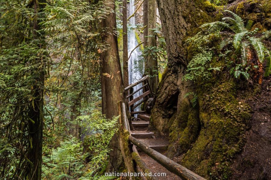
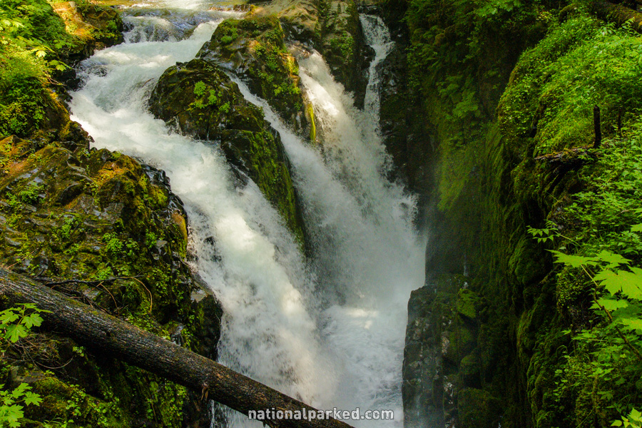
Sol Duc Falls
The Hike: First off, to avoid confusion, Sol Duc is spelled Soleduck on the trail sign, and this corruption of the name is used interchangeably all over the region. This trail goes deep into the Olympic backcountry. For the purposes of this hike, it leads for 0.8 miles to a bridge over the Sol Duc River. The falls are just upstream of the bridge, and are one of the most unique and beautiful falls to be seen anywhere. Anyone fond of waterfalls should put this hike to the top of their list.
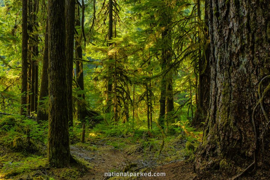
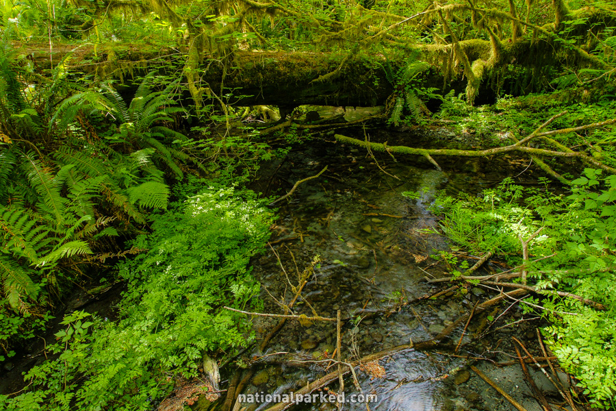
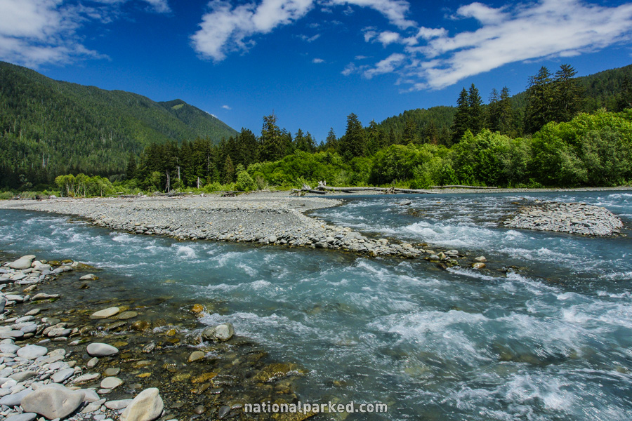
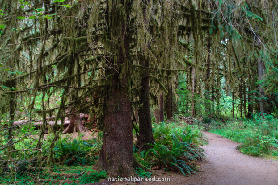
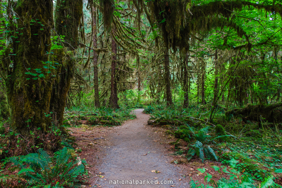
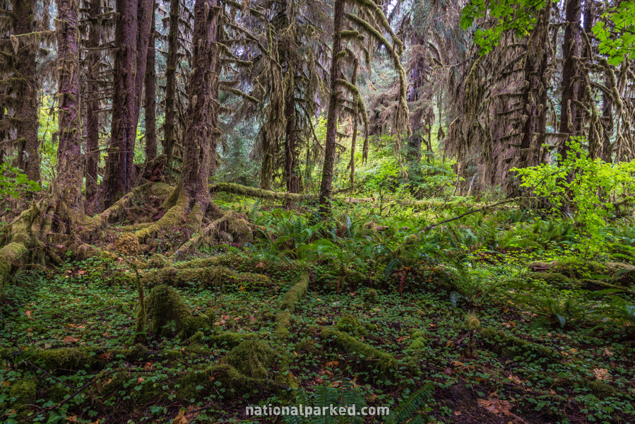
Spruce Nature Trail
The Hike: This trail presents scenery similar to the famed Hall of Mosses Trail further up this page, but is a bit longer and more varied. It also provides easy, although informal, access to a beautiful stretch of the Hoh River. Elk are commonly seen all through this area.