The Roads of Great Smoky Mountains
The park area is covered by a large number of roads, 384 miles of hem in all. The roads in the heavily visited areas are mostly paved, while the rest are gravel but usually maintained in excellent shape and suitable for cars.
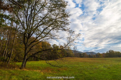
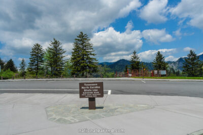
The major north/south route is the Newfound Gap Road, the portion of US-441 within the park. It connects the gateway towns of Gatlinburg, Tennessee and Cherokee, North Carolina. The combination of Little River Road and Laurel Creek Road run east/west between Newfound Gap Road and the immensely popular Cades Cove. A multitude of other short roads lead into the Big Creek, Deep Creek, Cosby, Cataloochee Cove, Balsam Mountain, Look Rock, and Abrams Creek areas.
Start Point: Mile 0 – Laurel Creek Road
End Point: Mile 10.2 – Cades Cove Campground
Start Point: Mile 0 – Townsend Wye
End Point: Mile 7.7 – Cades Cove

Start Point: Mile 0 – Newfound Gap Road
End Point: Mile 17.5 – Townsend Wye
Start Point: Mile 0 – Cherokee Entrance
End Point: Mile 16.8 – Clingman’s Dome Road
Start Point: Mile 16.9 – Clingman’s Dome Road
End Point: Mile 31.6 – Gatlinburg Entrance