Hiking Trails in Great Smoky Mountains
The park has over 800 miles of trails and it would take years of constant hiking to cover it all. There are routes for all levels of abilities, from short paved trails to steep, backcountry routes of several days. Cascading streams, waterfalls, old growth forest, and mountain vistas can all be seen from the trails.
Hiking distances given below are total, roundtrip distances unless otherwise stated. Difficulties are only a general guideline, for an adult in good condition, and do not take into account trail length. We strongly recommend you also have a good Great Smoky Mountains with you.
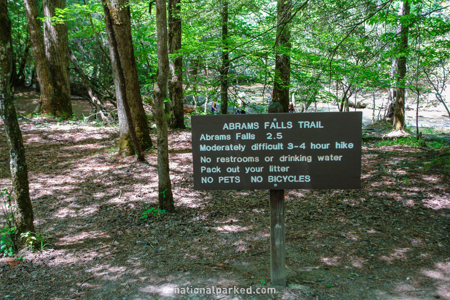
Abrams Falls
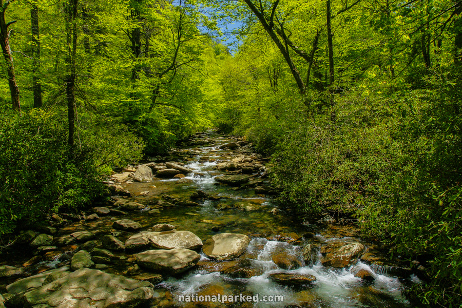
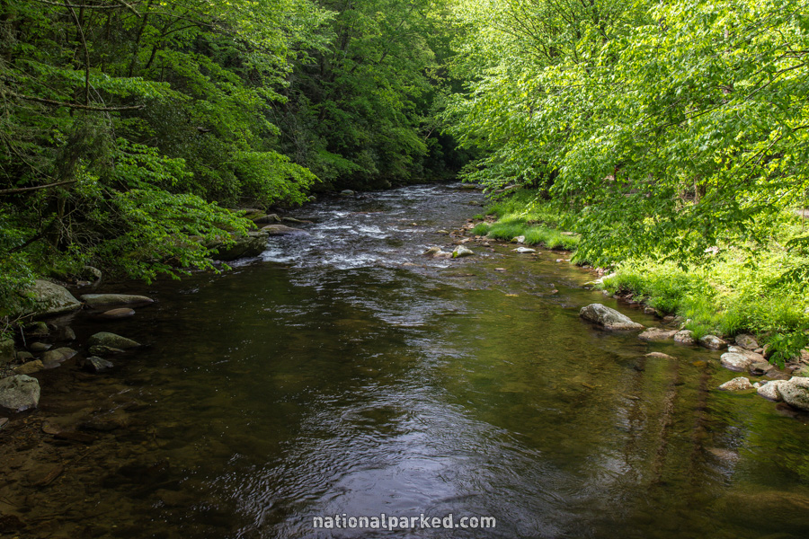
The Hike: As with everything in the Cades Cove area, this hike is very popular, and the parking area may be full. Since five miles must be driven on the loop road to get there, it is advisable to start this very early in the morning, or in the winter or early spring. The trail leads through the forest, going up and down several times, staying close to Abrams Creek most of the way until it reaches the waterfall.
Alum Cave Bluffs
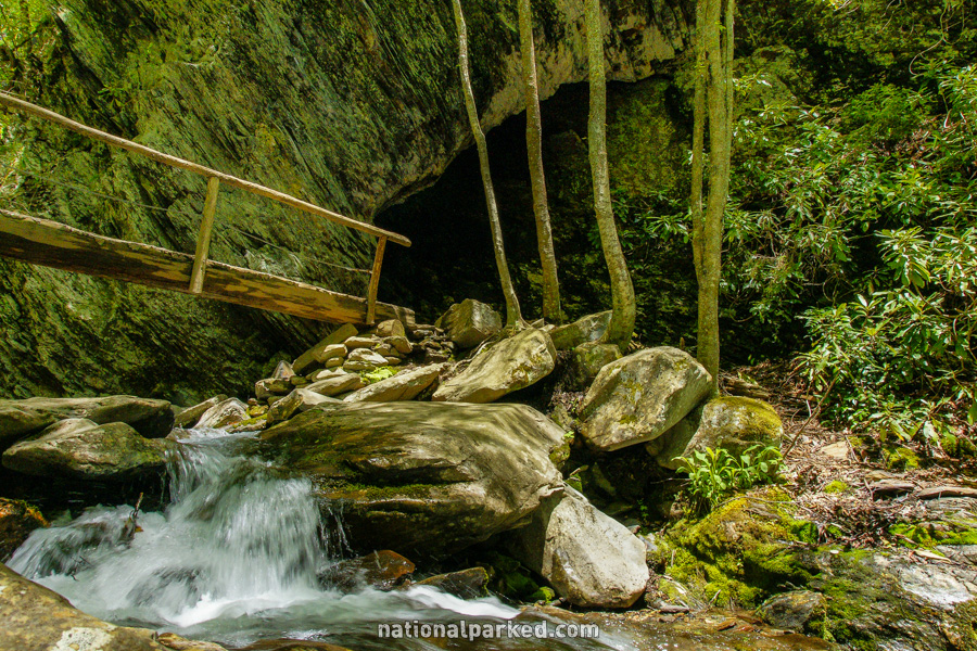
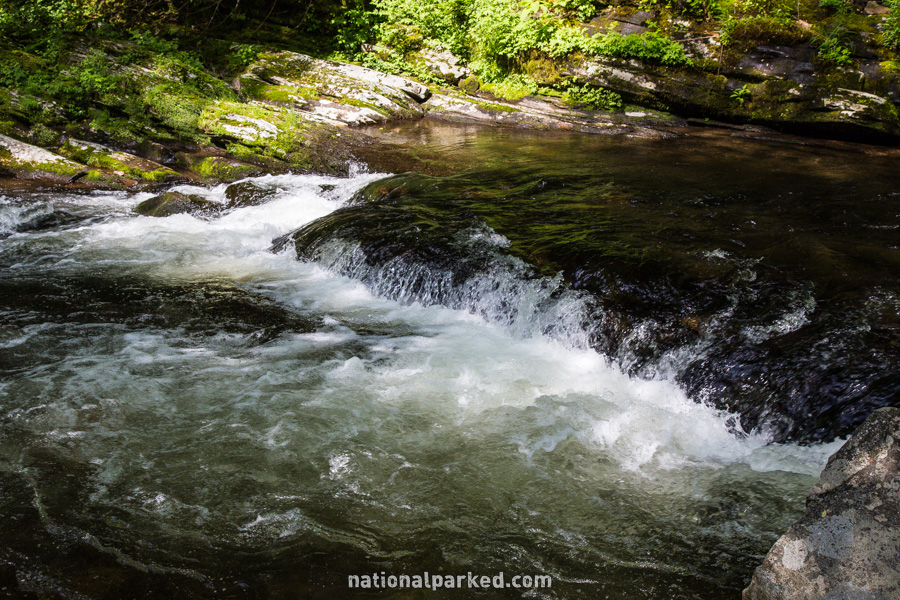
The Hike: This trail is popular in the extreme, even by Great Smoky Mountains standards. The parking area is likely to be full at almost any time except winter. This is a very scenic trail all the way to the bluffs themselves, with one notable stop on the way being Arch Rock, shown below. There are great views of various streams all along the trail right from the start.
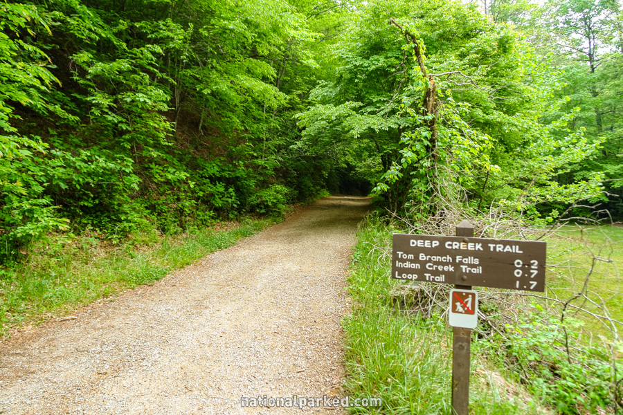
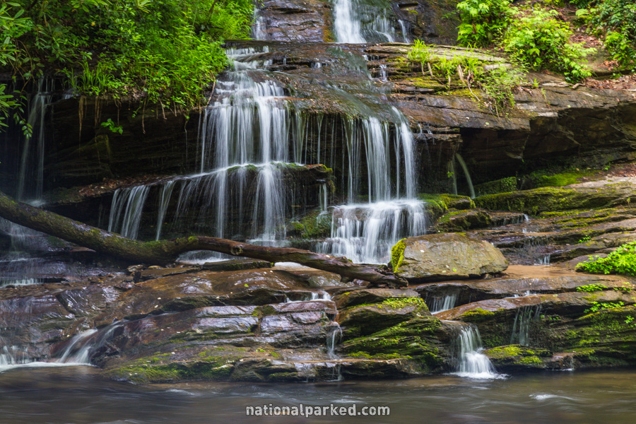
Deep Creek to Indian Creek Falls
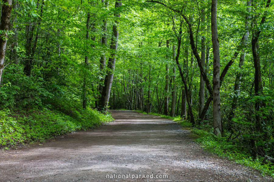
The Hike: In the summer, this area can be overrun on any day of the week, and on the weekend you may not be able to get in at all. Floating Deep Creek on inner tubes is an insanely popular summer activity here. At other times of the year, it is usually a pleasant, relatively uncrowded hike. The hike leads along the Deep Creek Trail (actually a gravel road closed to motor vehicles) until a right turn on the Indian Creek Trail just before the falls. A sharp, steep side trail to the left leads near the base. Tom Branch Falls is seen along the way.
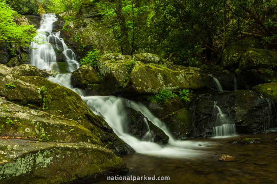
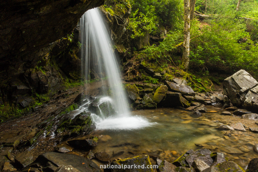
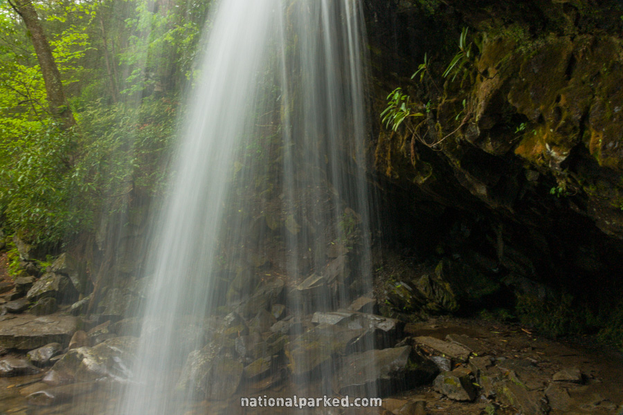
Grotto Falls
The Hike: The parking area for this trailhead is small, and this hike is extremely popular, so parking can be quite difficult. The trail is uphill for most of its distance, although it is never especially steep. The trail is in good shape. The falls itself is in a beautiful setting, as Roaring Fork falls over a small cliff with an area, or grotto, behind it. The trail in fact goes behind the falls and continues on, eventually reaching the summit of Mount LeConte.
Laurel Falls
The Hike: This is probably the most popular hike in the most visited national park in the world. To call it crowded at any time of the year other than winter is an understatement. Due to its popularity, the entire route to the falls is paved. The trail is uphill almost the entire way, but the incline is never overly steep, just steady. Use caution at the falls area, the rock around the steep dropoff is very slippery.
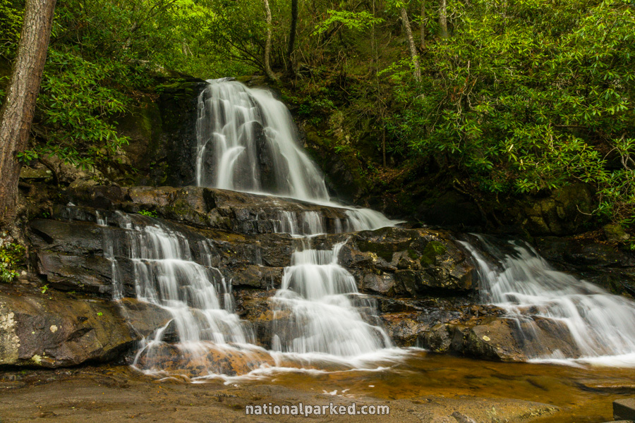
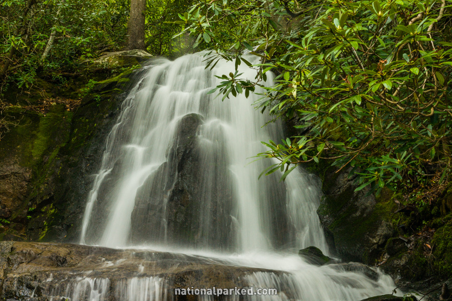
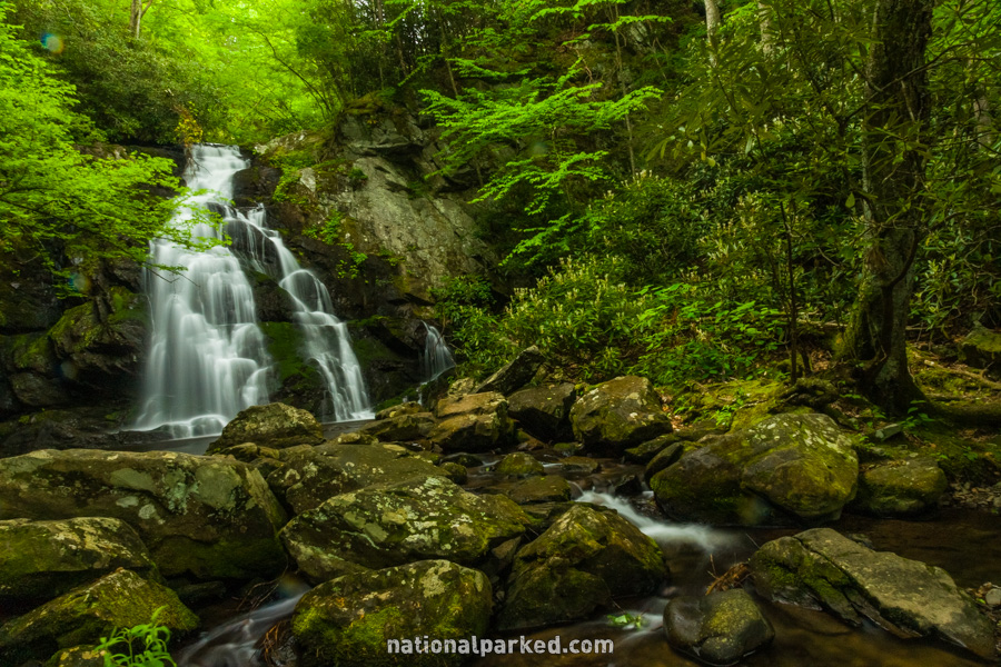
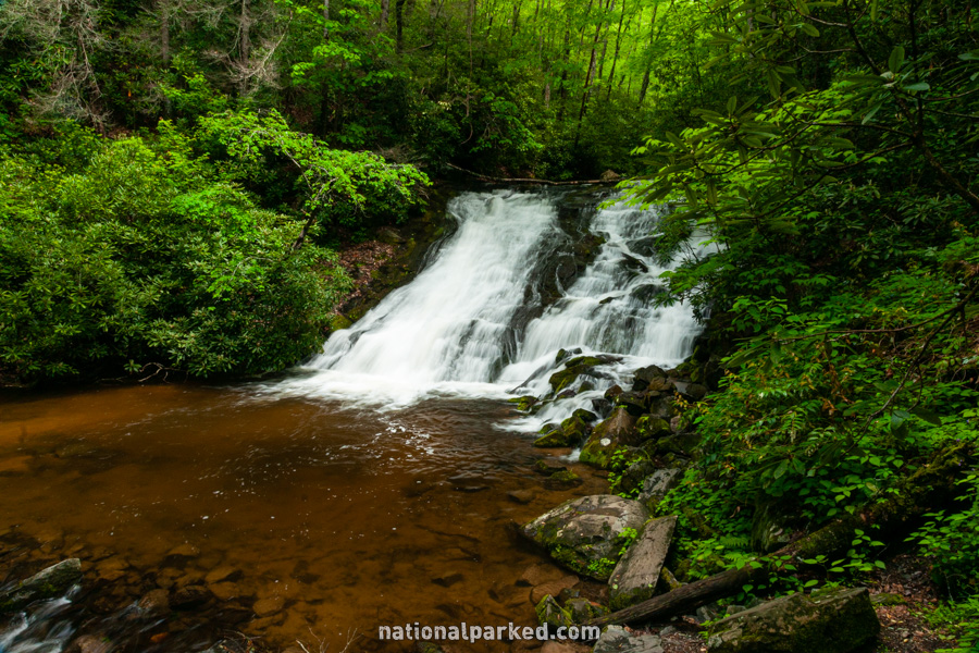
Spruce Flats Falls
The Hike: The hike heads up a short gravel road before going left of a building and climbing briefly. The Spruce Flats Falls Trail shortly heads off to the right. This hike may be only a mile, but it is very steep in places, and is very rocky. This trail is less maintained than most in the park, and can lead to injury for the careless. Young children do not belong on this hike. Those who do make it to the falls will be rewarded with perhaps the most beautiful falls in the park.