Trails in Zion National Park are subject to frequent damage from erosion and falling rock. Any of the trails below may be closed for short or very long periods of time. Check at the Zion Canyon Visitor Center for current conditions. Also note that the famous Zion Narrows close for storms and whenever the river is above a certain level.
Hiking Trails in Zion
Zion National Park is mostly the realm of the dayhiker. There are a few overnight routes for backpackers, the most famous of which is the full Zion Narrows hike. This hike requires planning, fitness, and a permit. The only way the Narrows can be seen as a dayhike is detailed below. Regardless of the length or difficulty, plenty of water should be taken, especially in the summer, which can be very hot in the canyon.
Hiking distances given below are total, roundtrip distances unless otherwise stated. Difficulties are only a general guideline, for an adult in good condition, and do not take into account trail length. We strongly recommend you also have a good Zion Trail Map with you.
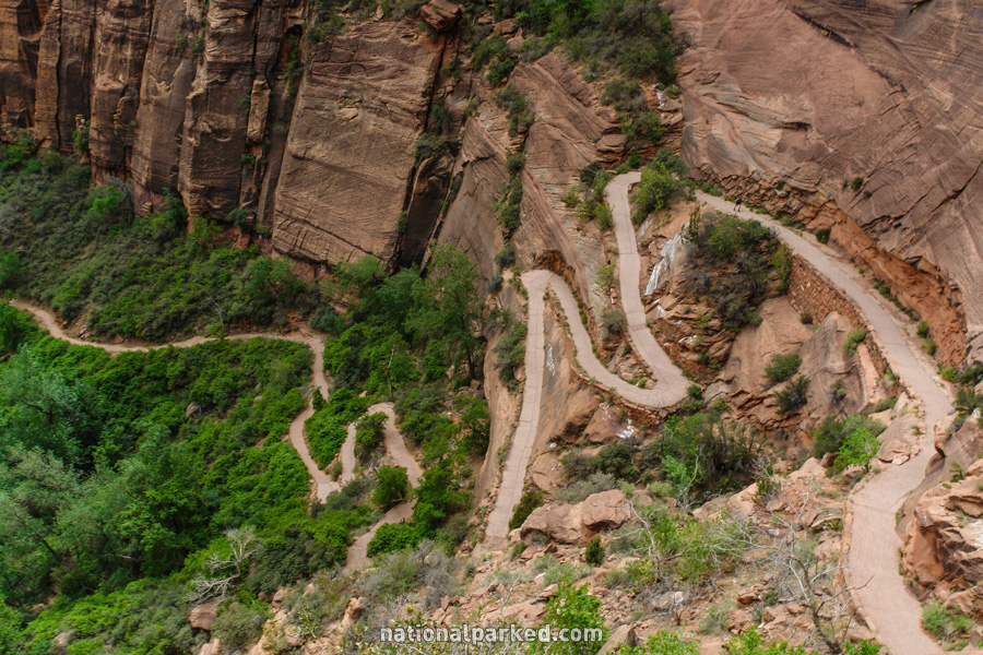
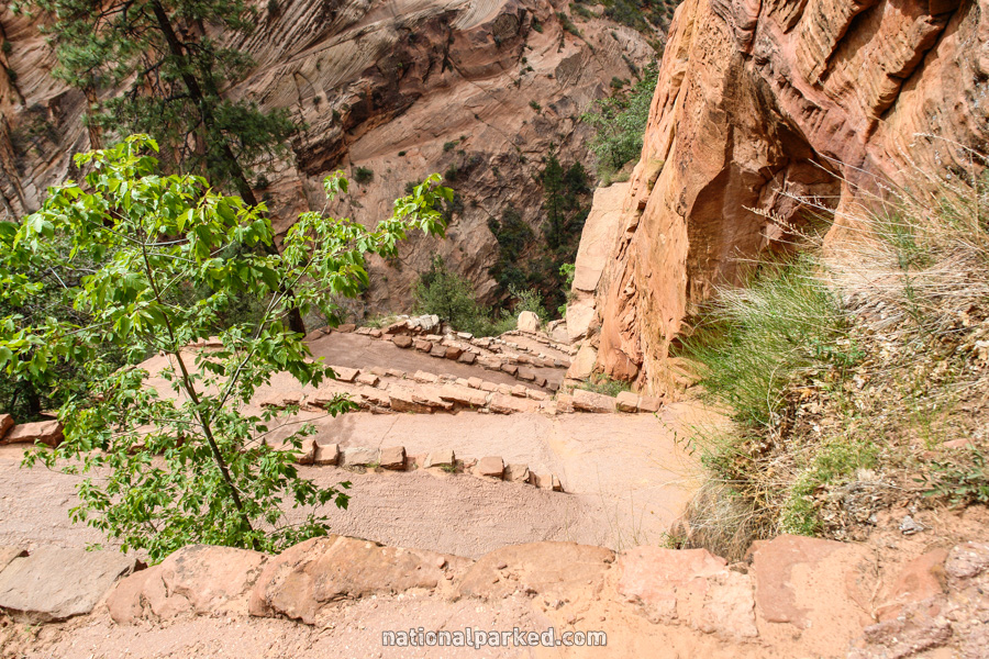
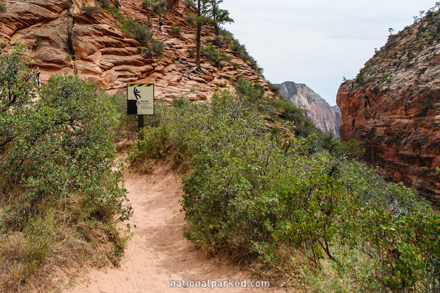
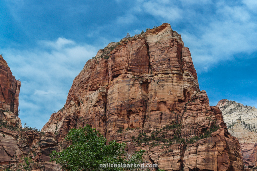
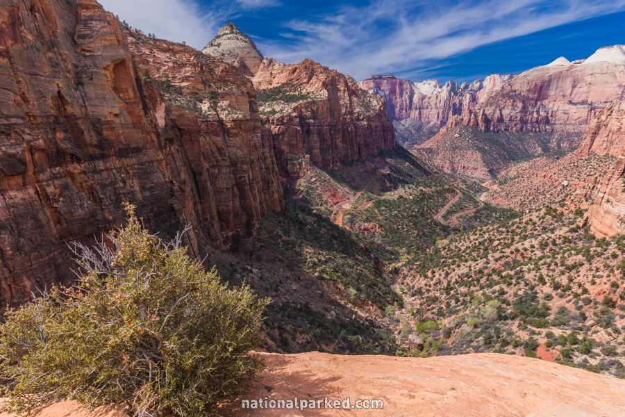
Angel’s Landing
The Hike: This hike is very popular, but quite difficult. It briefly follows the Virgin River, then begins climbing steeply up the side of the canyon wall. The climb levels off after about a mile and enters shady Refrigerator Canyon. If the climb has seemed overly steep at this point, you may wish to reconsider going on. Further on, a series of 21 switchbacks, named “Walter’s Wiggles”, very steeply ascends an otherwise impassable stone face. After these, the trail ascends more gradually and reaches a viewpoint named Scout Lookout. This point is 1.8 miles from the start.
The last nearly half mile is the climb to Angel’s Landing, and should not be attempted by anyone with any sort of fear of heights. The “trail” gets as narrow as 3 feet across, with drops of 500 feet or more on both sides. Those who are able to make the final ascent are rewarded with an incredible 360 degree view.
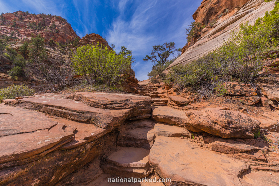
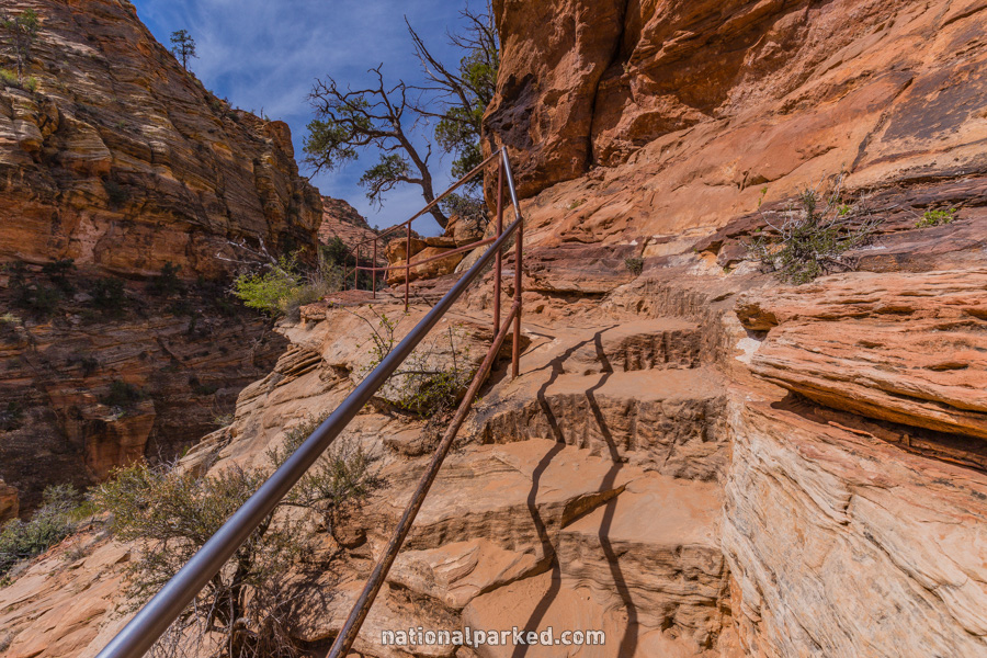
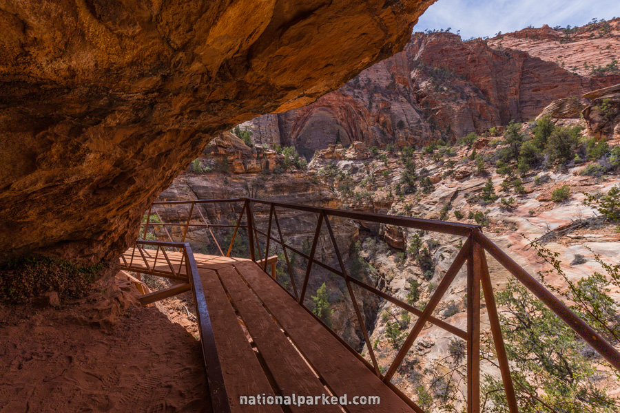
Canyon Overlook
The Hike: This hike is often missed by visitors. It is a short but somewhat steep hike to a great overlook of eastern Zion Canyon. The trail ends at a rocky area offering a sweeping vista, and steep dropoffs. The main overlook area is fenced, but the rest of the area is not, so use extreme caution. This hike is the easiest route to a canyon overlook in Zion, and should be considered a must do for those able.
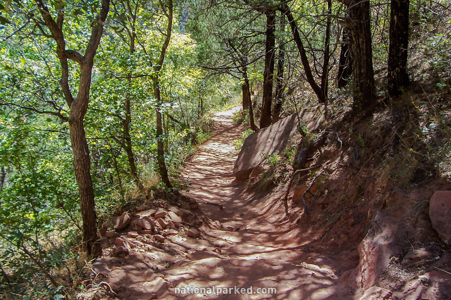
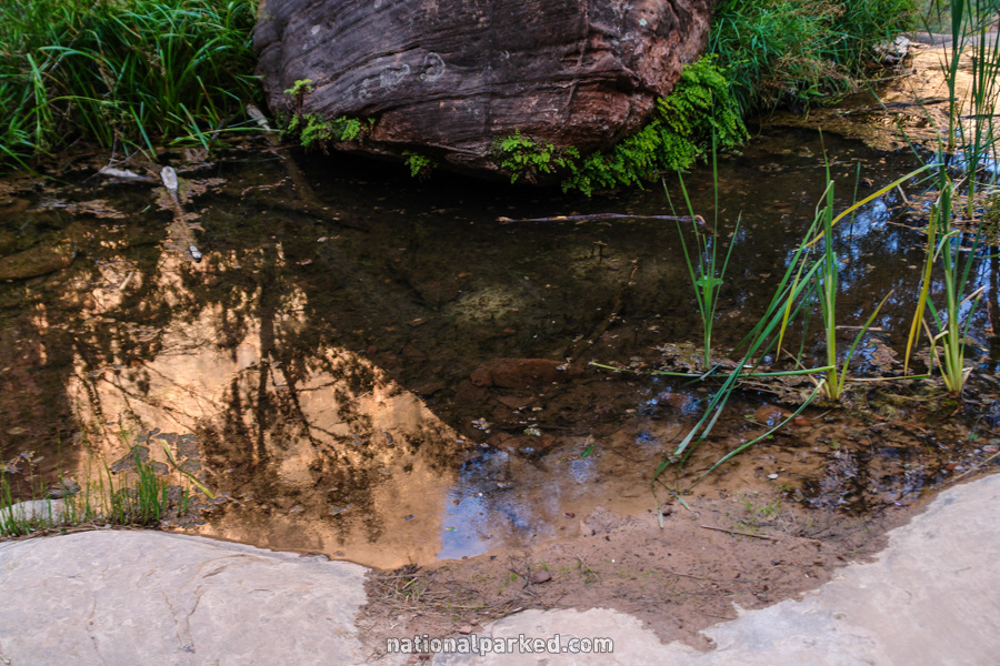
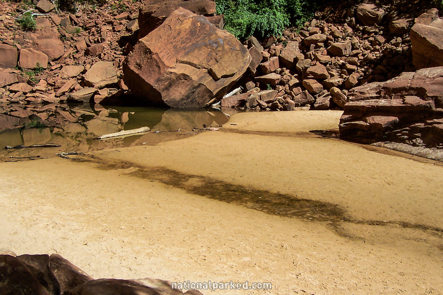
Emerald Pools Trails
The Hike: This is a nice hike with options to visit one or more water pools against the canyon wall. The trail, across the street from Zion Lodge, crosses a bridge over the Virgin River and forks. The paved route to the right leads to the Lower Pool. The left route leads first to the Middle Pool, and there is a rough trail from there to the Upper Pool. The two routes meet to form a complete loop of the area, for a 2.5 mile hike.
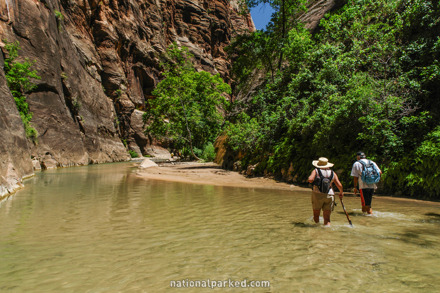
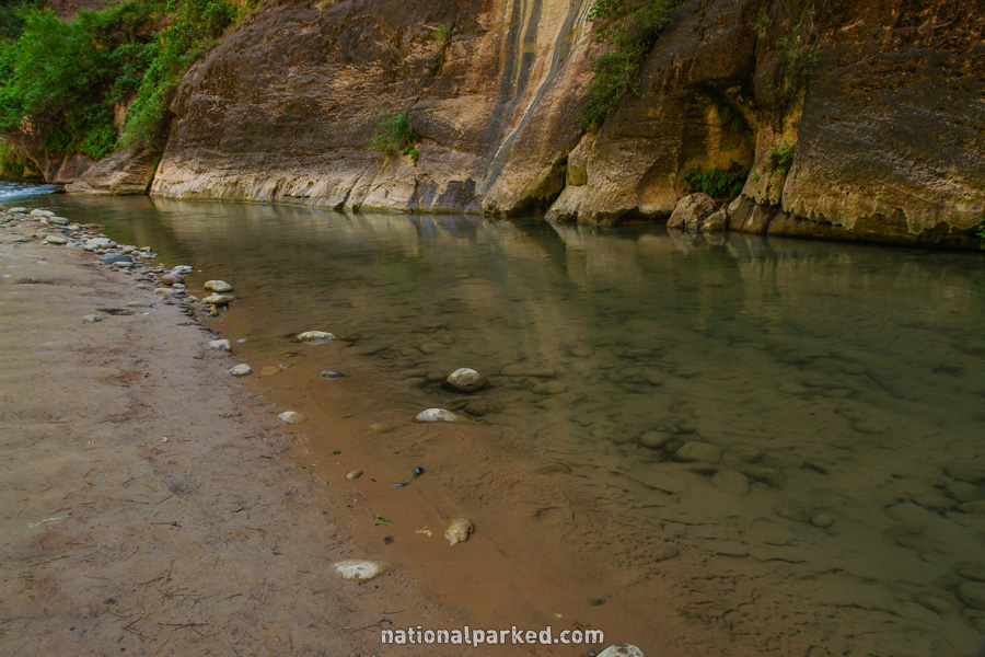
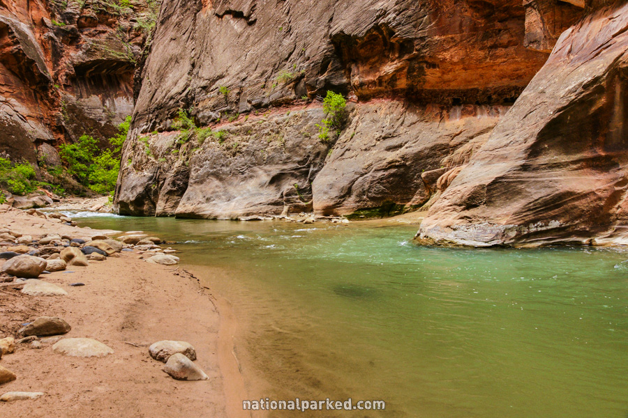
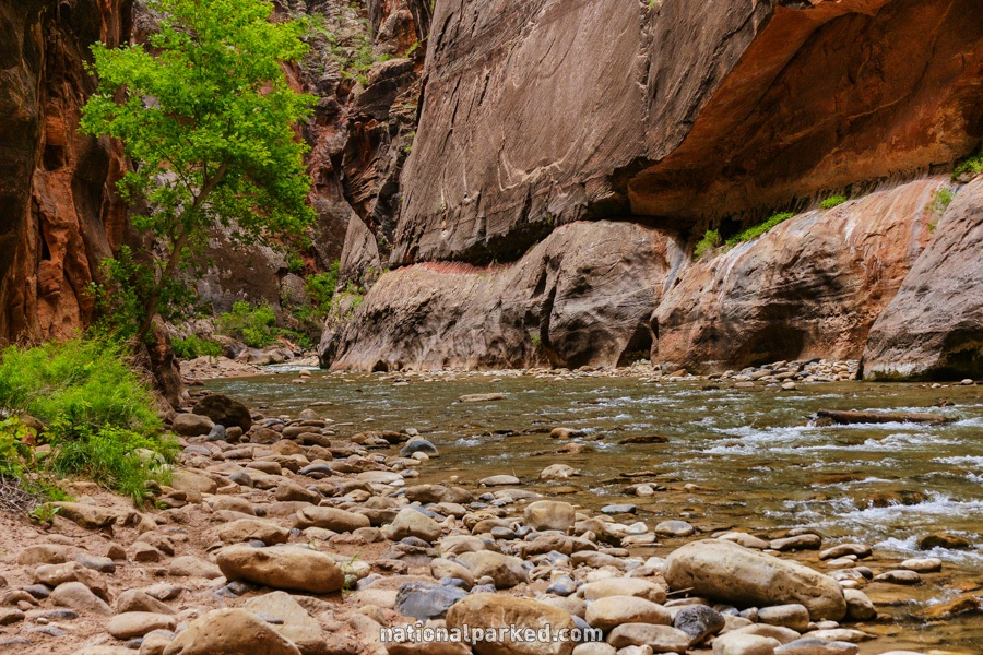
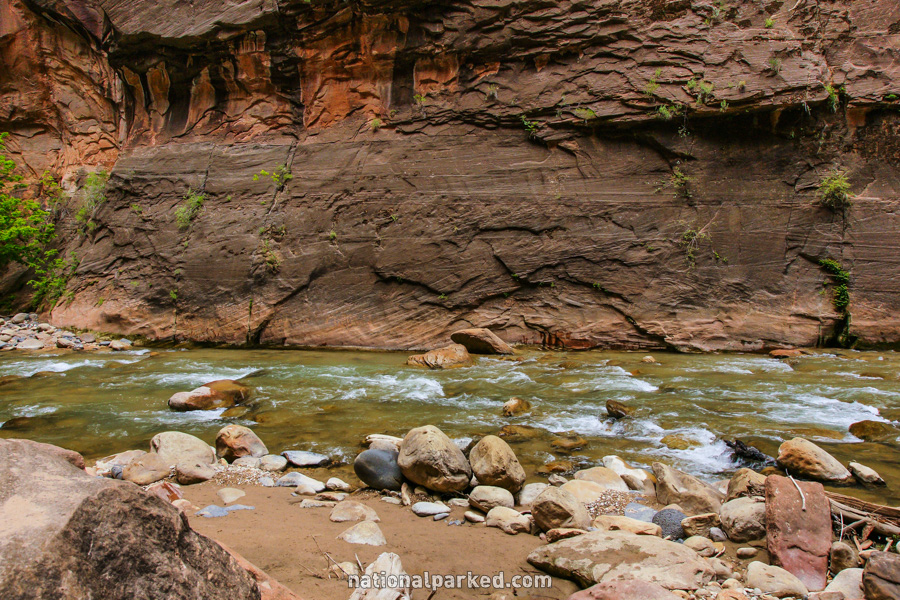
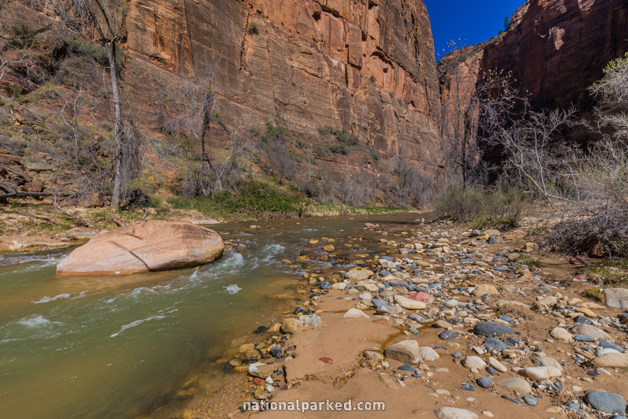
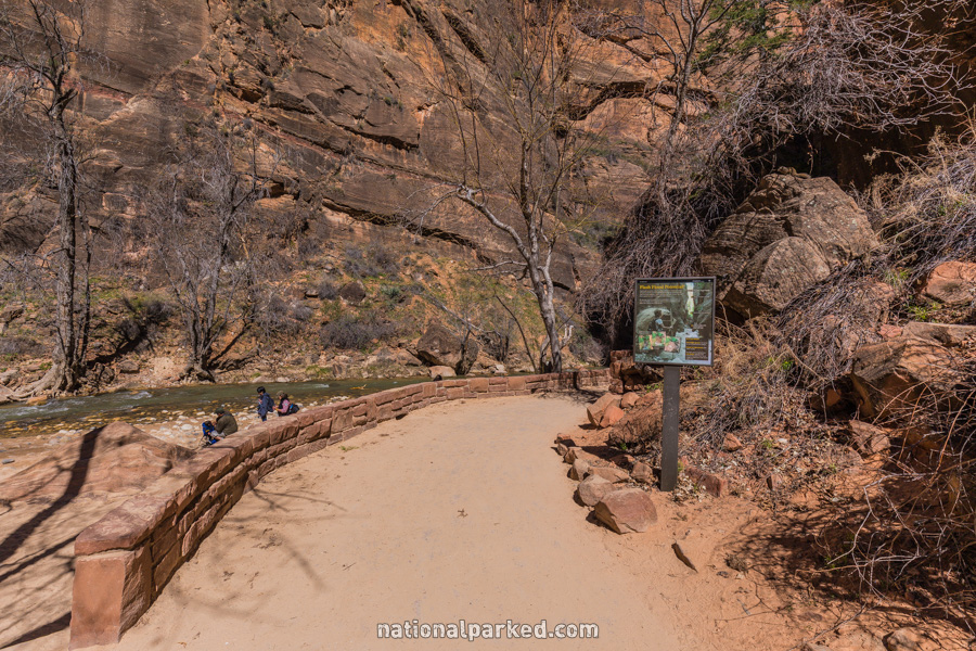
The Narrows to Orderville Canyon
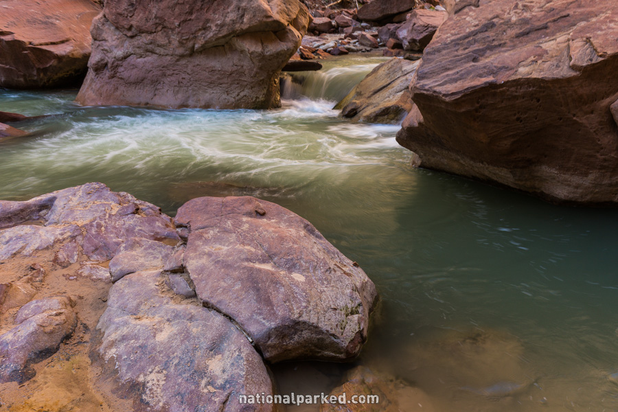
The Hike: The first mile of this hike is over the Riverside Walk, described below. At the end of this easy, paved route along the Virgin River, the trail ends and the river begins. The next two miles to Orderville Canyon will be spent mostly in the river, with frequent crossings to reach bits of sandy or rocky shoreline. The river is mostly knee deep or less, but there are many small areas that are waist deep or more. The rocky bottom is very slippery, and a walking stick of some kind is almost essential.
One can wander through the narrowing canyon for any length of time up to the junction with Orderville Canyon and then turn back. Hiking beyond Orderville Canyon is not allowed without a permit, and is normally started from the top, outside of the park at Chamberlain Ranch. Check with rangers at the visitor center for permits for this overnight hike, and for flash flood potential, especially in the summer months. For those with the ability, the hike up the river to Orderville Canyon is one of the premier day hikes anywhere.
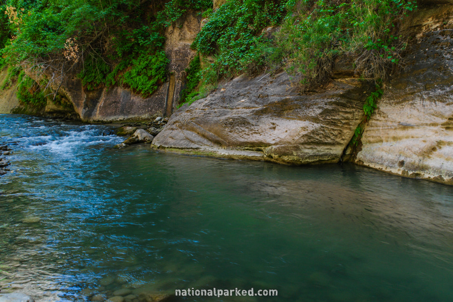
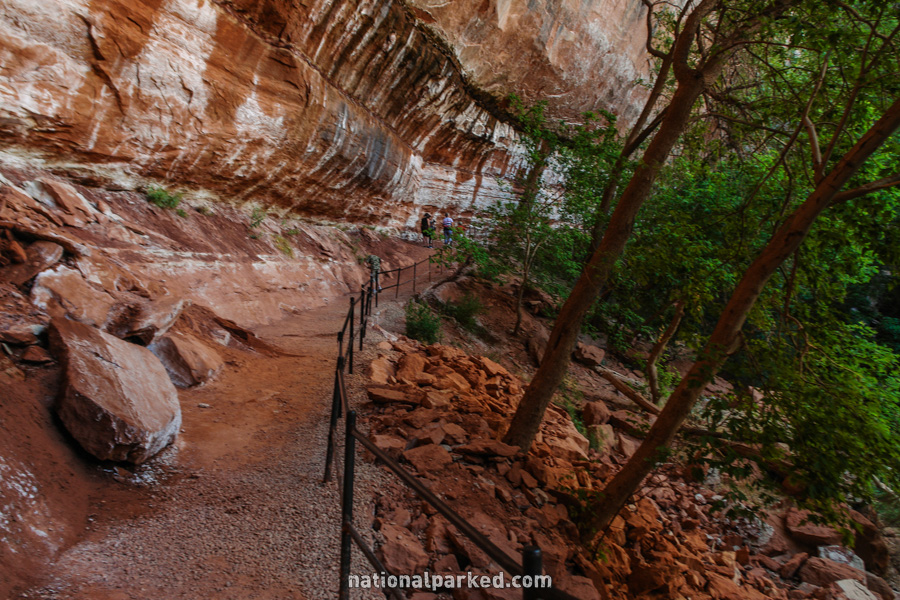
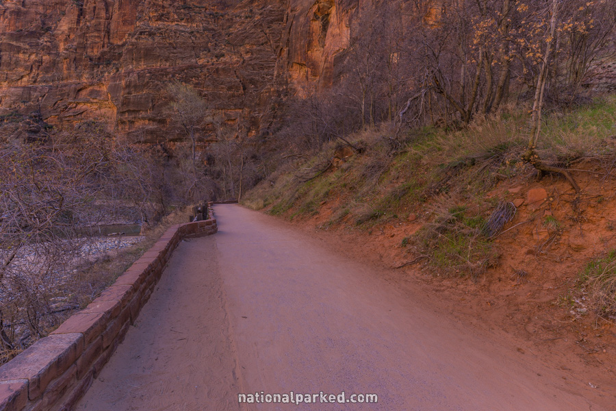
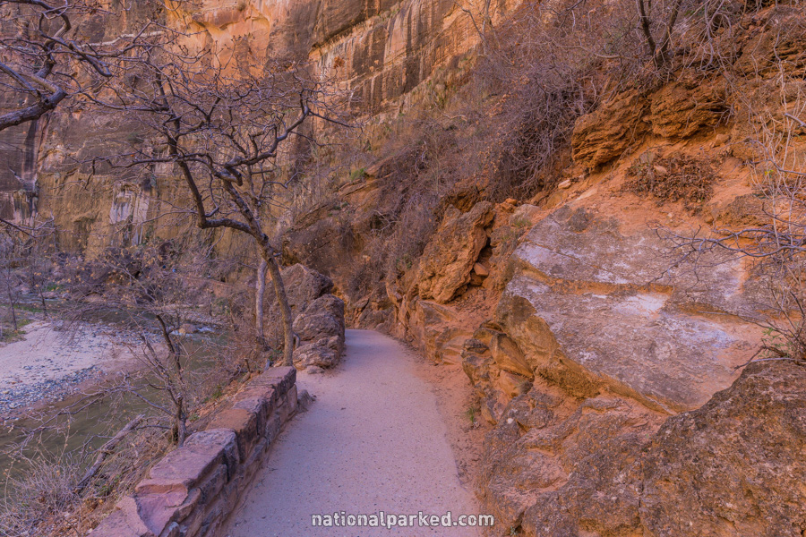
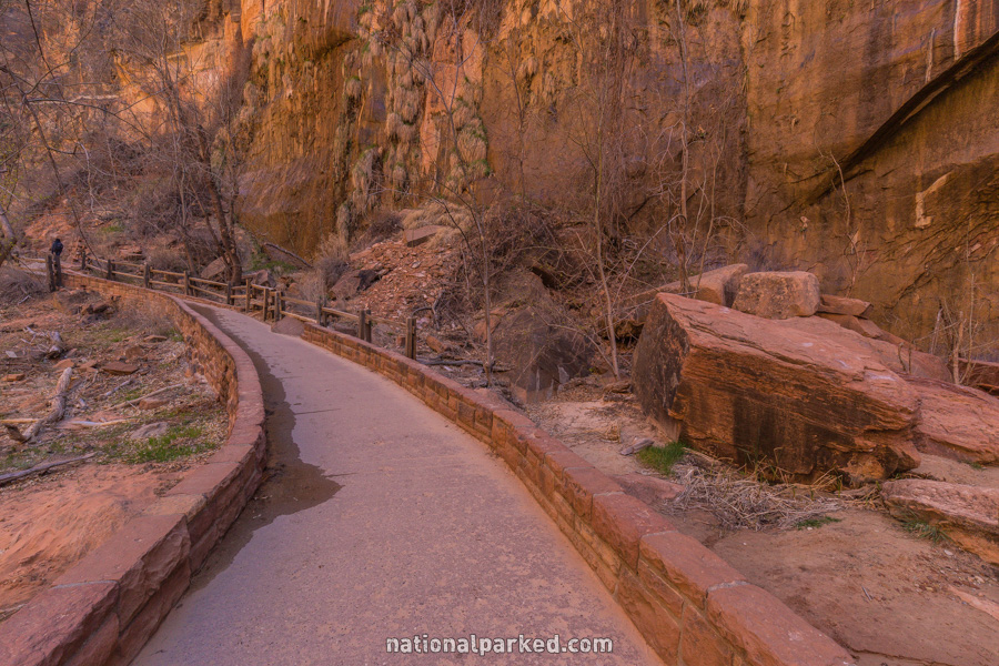
Riverside Walk
The Hike: This is the most popular hike in the park, for good reason. The easy, paved trail follows along the Virgin River as the canyon gets more narrow. The effects of the river can be seen all along this walk. The trail ends after a mile and enters the Virgin River. Those wanting to go further should be well prepared for river wading, and read the description for the Narrows to Orderville Canyon hike above.
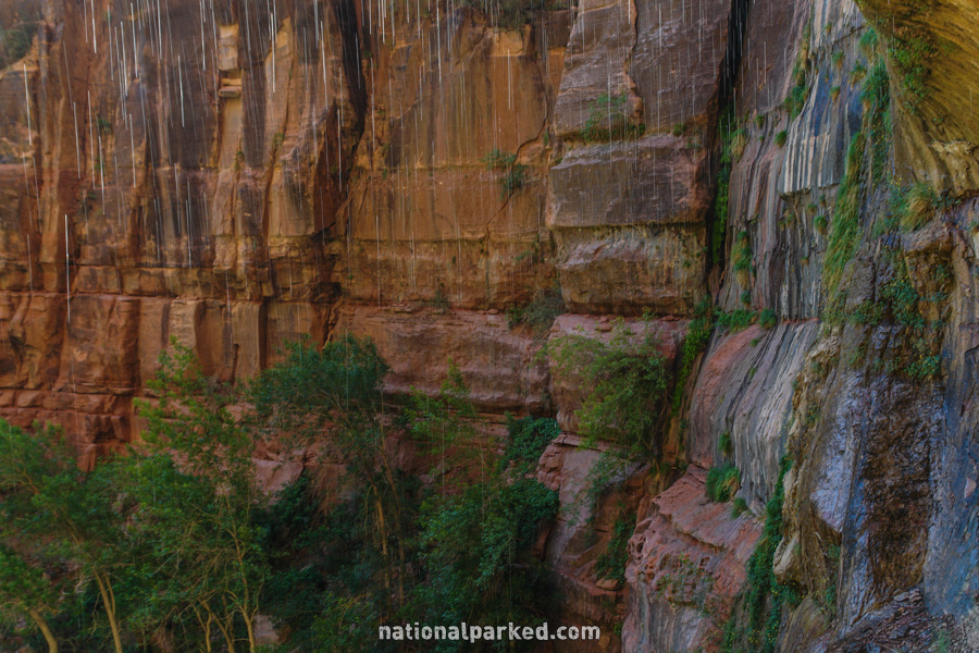
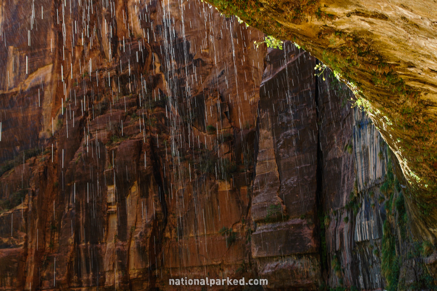
Weeping Rock
The Hike: This popular, paved walk is short, but relatively steep. It quickly ascends to a recess in the canyon wall, where you can stand behind the flow of a large seep. This water fell as rain and was absorbed into the sandstone, hundreds of years ago, to work its way through the rock to emerge at Weeping Rock.