- This page contains affiliate links. Purchases made through them may earn us a small fee.
Getting to White Sands National Park
Driving to White Sands
White Sands National Park is accessed off US Highway 70, 15 miles southwest of the city of Alamogordo, New Mexico. It is heavily influenced by the adjacent Holloman Air Force Base and White Sands Missile Range. Las Cruces, a larger city, is 50 miles southwest of the park entrance.
If you’d like to plot directions from your location use the interactive map below. The marker shows the location of the visitor center in White Sands.
Flying to White Sands
Below you will find a list of airports most convenient for a trip to White Sands, listed in order of distance. For each airport we provide direct links to browse available flights and cars. For price searches, simply enter your origin and dates.
El Paso International Airport (ELP)
Located in El Paso, Texas, 102 miles by car to White Sands
El Paso flight schedule and price search
El Paso available rental cars and price search
Roswell International Air Center (ROW)
Located in Roswell, New Mexico, 136 miles by car to White Sands
Roswell flight schedule and price search
Roswell available rental cars and price search
Albuquerque International Sunport (ABQ)
Located in Albuquerque, New Mexico, 223 miles by car to White Sands
Albuquerque flight schedule and price search
Albuquerque available rental cars and price search
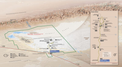
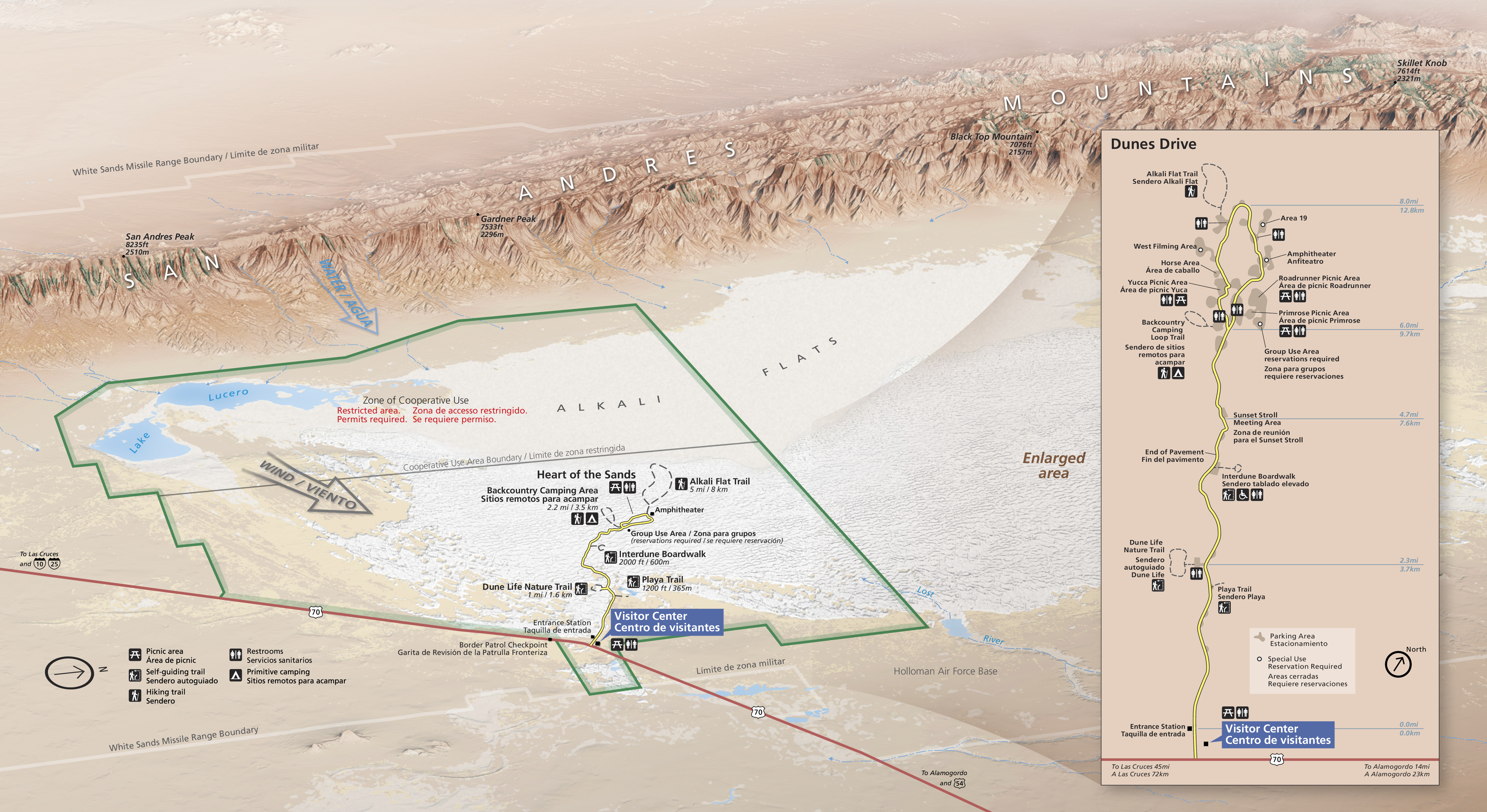
Official Park Map
Below is the official park map provided by the National Park Service. You can view either the original PDF file or a simple JPEG image file (some of these files can be quite large).