- This page contains affiliate links. Purchases made through them may earn us a small fee.
Getting to Haleakala National Park
Driving to Haleakala
There are two sections of Haleakala National Park, which are not connected by road. The Summit Area is the more commonly visited area, and is reached via HI-7, HI-377, and HI-378, a drive of about 90 minutes from Kahului. The Kipahula Coastal Area is accessed via HI-36, HI-360, and HI-31, the Hana Highway, and is about a three hour drive from Kahului.
If you’d like to plot directions from your location use the interactive map below. The marker shows the location of the Summit Visitor Center in Haleakala.
Flying to Haleakala
There’s only one commercial airport on the island of Maui, where Haleakala is located. It’s in the town of Kahului. Maui has a good amount of airline service direct from the mainland United States. Since visitors frequently go to more than one island on their visit, using Hawaiian Airlines to fly between islands is commonplace.
Kahului Airport (OGG)
Located in Kahului, Hawaii, 27 miles by car to Haleakala (Summit Entrance)
Kahului flight schedule and price search
Kahului available rental cars and price search
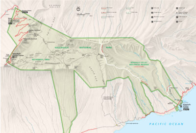
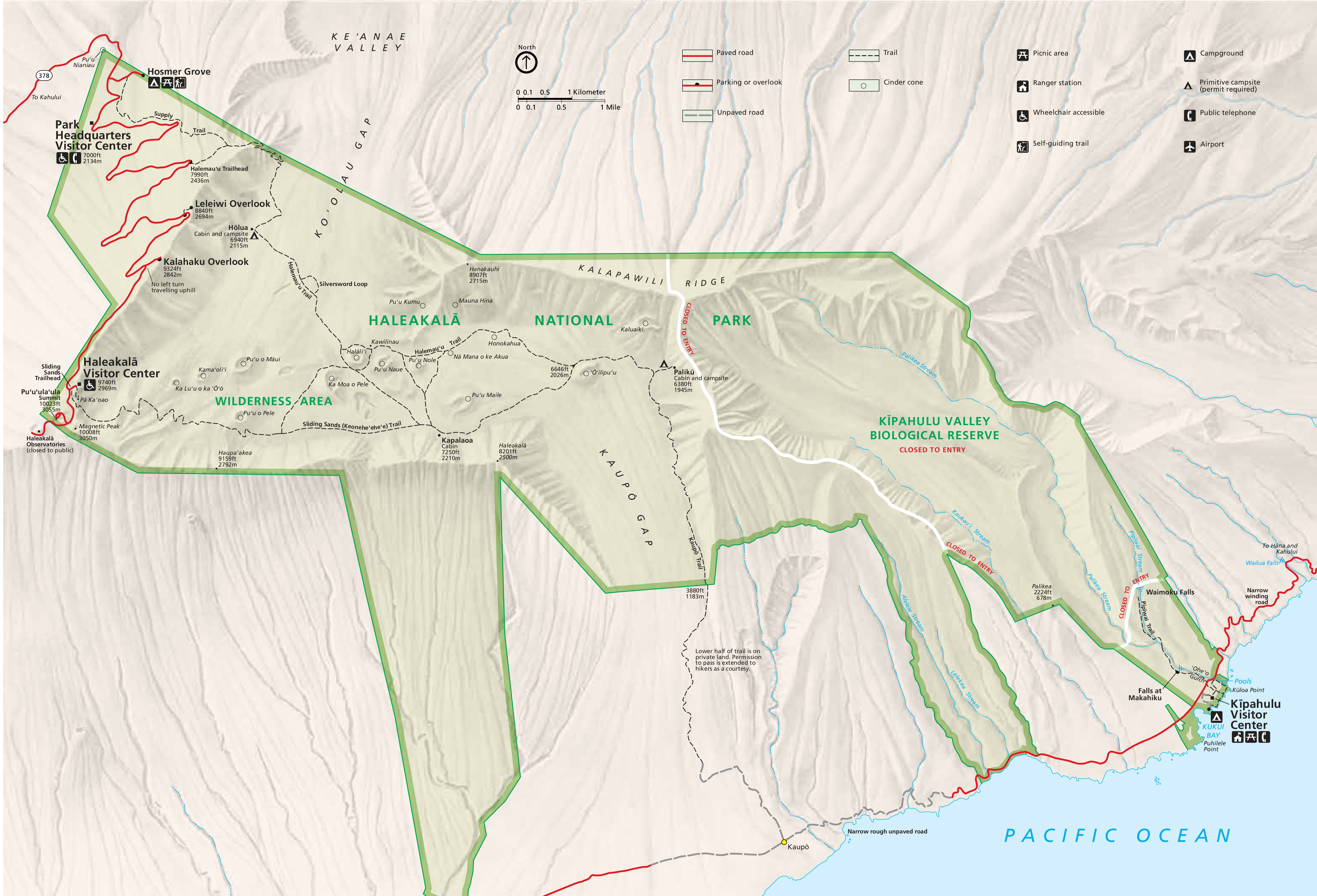
Official Park Map
Below is the official park map provided by the National Park Service. You can view either the original PDF file or a simple JPEG image file (some of these files can be quite large). Note that while this map is useful for general navigation around the park, if you plan to do any hiking, you should really have a proper Haleakala Trail Map.