- This page contains affiliate links. Purchases made through them may earn us a small fee.
Getting to Redwood National Park
Driving to Redwood
There are a number of different areas making up Redwood National and State Parks, most of which are accessed from US-101. To get to the area from the north, take US-199 to US-101. From the south, follow US-101 north.
If you’d like to plot directions from your location use the interactive map below. The marker shows the location of the Hiouchi Visitor Center in Crescent City.
Flying to Redwood
Below you will find a list of airports most convenient for a trip to Redwood, listed in order of distance. For each airport we provide direct links to browse available flights and cars. For price searches, simply enter your origin and dates.
Rogue Valley International-Medford Airport (MFR)
Located in Medford, Oregon, 140 miles by car to Redwood (Prairie Creek)
Medford flight schedule and price search
Medford available rental cars and price search
Sacramento International Airport (SMF)
Located in Sacramento, California, 329 miles by car to Redwood (Prairie Creek)
Sacramento flight schedule and price search
Sacramento available rental cars and price search
San Francisco International Airport (SFO)
Located in San Francisco, California, 340 miles by car to Redwood (Prairie Creek)
San Francisco flight schedule and price search
San Francisco available rental cars and price search
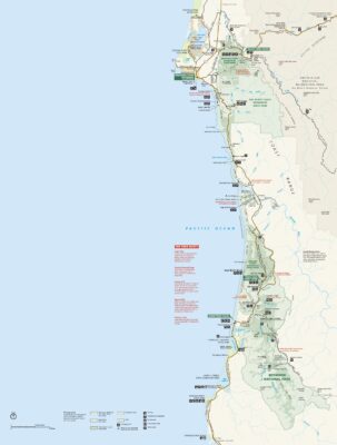
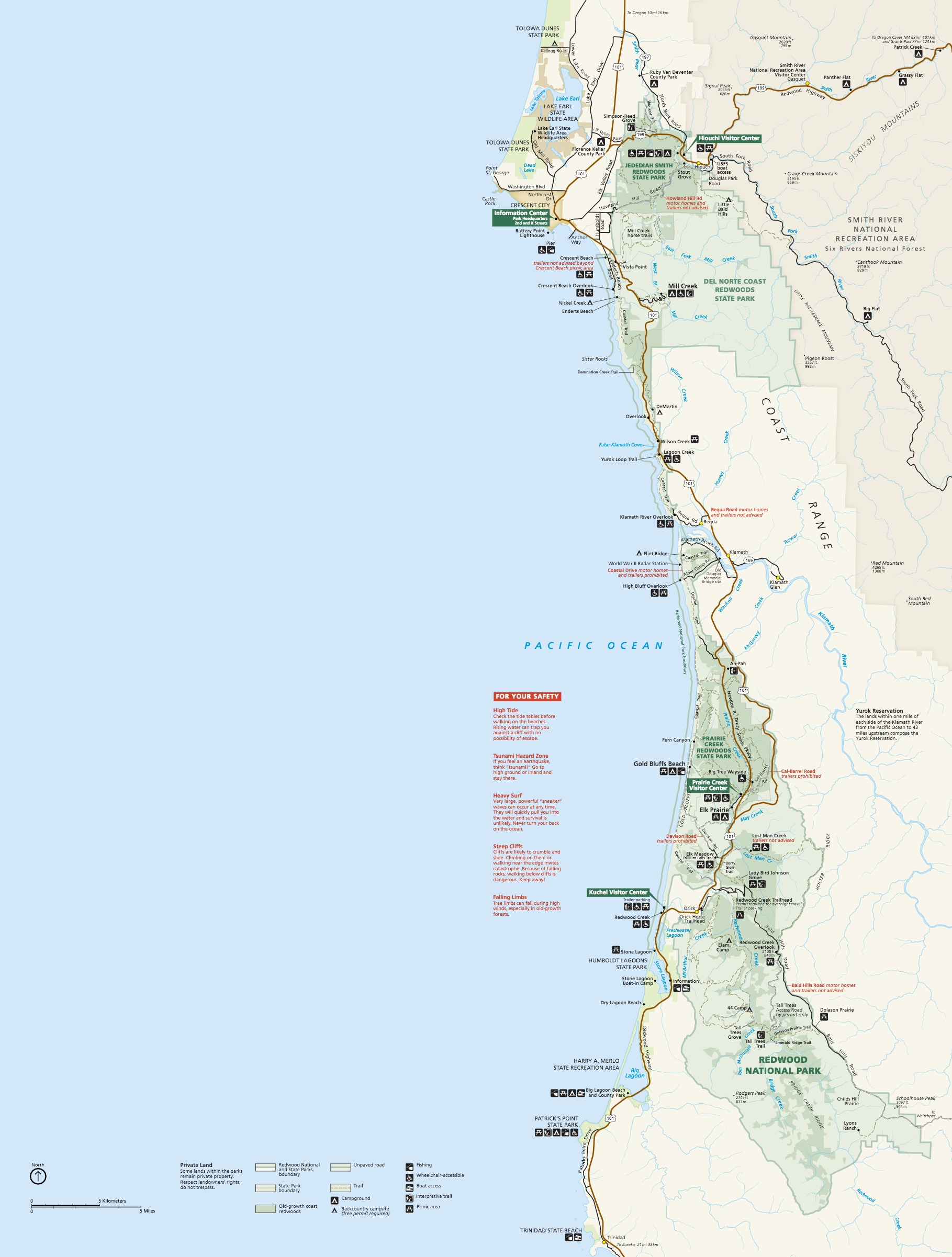
Official Park Map
Below is the official park map provided by the National Park Service. You can view either the original PDF file or a simple JPEG image file (some of these files can be quite large). Note that while this map is useful for general navigation around the park, if you plan to do any hiking, you should really have a proper Redwood Trail Map.